Hampton Lovett

Settlement in Worcestershire Wychavon

England

Hampton Lovett

Wychavon Way A bridleway following a field headland.  This bridleway is followed by the Wychavon Way.
Wychavon Way Credit: Philip Halling

Hampton Lovett is a small village located in the county of Worcestershire, England. Situated approximately 5 miles north of the town of Droitwich Spa, Hampton Lovett is known for its picturesque rural setting and historic charm.

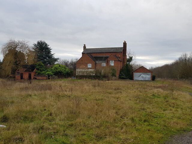
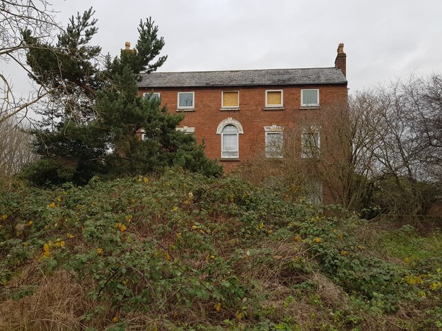
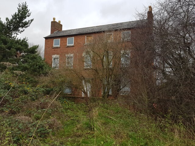
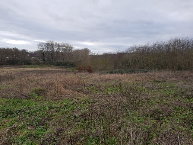
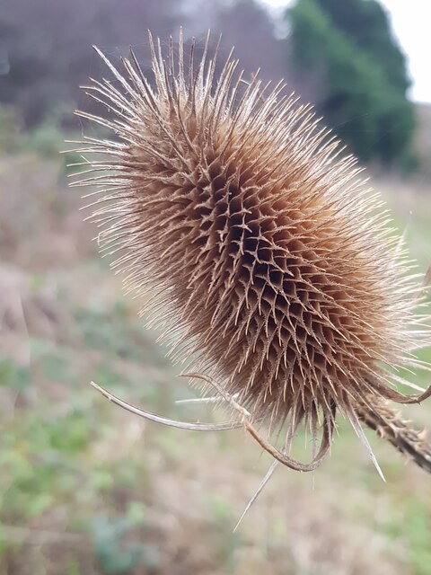
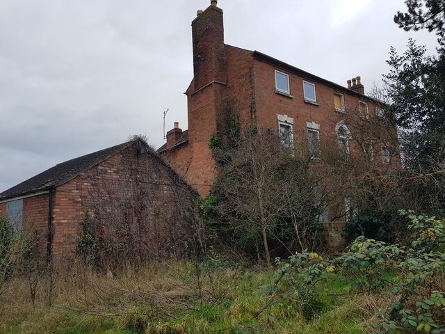
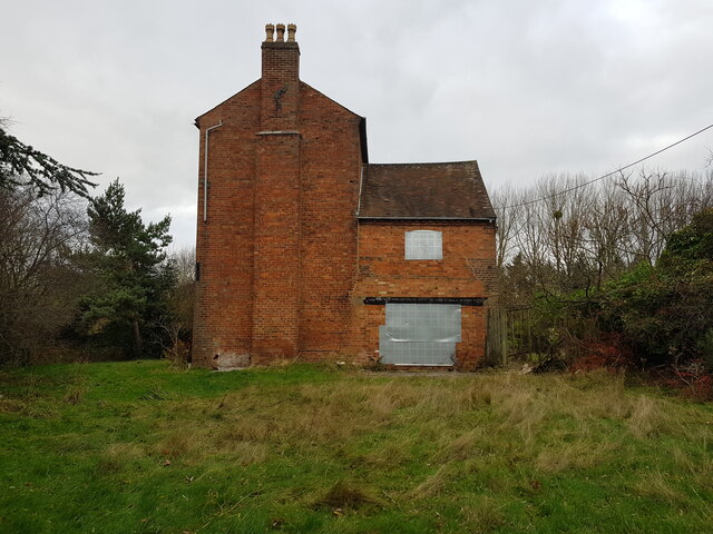
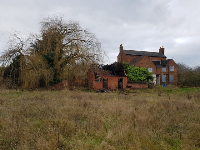
The village is surrounded by rolling countryside and is predominantly made up of traditional cottages and farmhouses, giving it a quintessentially English feel. It is home to a close-knit community that takes pride in preserving the village's heritage and maintaining its tranquil atmosphere.

One of the most notable landmarks in Hampton Lovett is the 12th century St. Mary and All Saints Church. This beautiful church features a distinctive Medieval spire and is known for its stunning stained glass windows, making it a popular destination for visitors interested in history and architecture.

The village is also renowned for its connection to the British composer Sir Edward Elgar. Elgar's birthplace, The Firs, is located just outside Hampton Lovett and has been converted into a museum dedicated to his life and works. The museum attracts music enthusiasts from around the world who come to learn about Elgar's legacy and explore the surrounding countryside that inspired his compositions.

In terms of amenities, Hampton Lovett has a small primary school, a village hall, and a local pub that serves as a hub for social gatherings. The village enjoys easy access to the nearby town of Droitwich Spa, which offers a wider range of services and amenities.

Overall, Hampton Lovett is a charming and idyllic village that offers a peaceful retreat for residents and visitors alike, with its rich history, beautiful landscapes, and strong sense of community.

If you have any feedback on the listing, please let us know in the comments section below.

Hampton Lovett Images

Images are sourced within 2km of 52.28722/-2.170322 or Grid Reference SO8865. Thanks to Geograph Open Source API. All images are credited.

Wychavon Way A bridleway following a field headland.  This bridleway is followed by the Wychavon Way.
Wychavon Way
A bridleway following a field headland. This bridleway is followed by the Wychavon Way.
Crutch Lane This country road follows the route of a former Roman Road.
Crutch Lane
This country road follows the route of a former Roman Road.
Jakeman's Hill Farm (1) Between Droitwich and the Hampton Lovett Industrial Estate.
Jakeman's Hill Farm (1)
Between Droitwich and the Hampton Lovett Industrial Estate.
Westlands estate Droitwich from Jakeman's Hill
Jakeman's Hill Farm (2)
Jakeman's Hill Farm (3)
Looking over Elmbridge Brook from Jakeman's Hill This is looking in the opposite direction to <a href="https://www.geograph.org.uk/photo/4577909">SO8864 : Jakeman's Hill Farm, Hampton Lovett from Stoney Bridge</a>.
Looking over Elmbridge Brook from Jakeman's Hill
This is looking in the opposite direction to SO8864 : Jakeman's Hill Farm, Hampton Lovett from Stoney Bridge.
Teasel at Jakeman's Hill, Droitwich
Jakeman's Hill Farm (4)
Jakeman's Hill Farm (5)
Jakeman's Hill Farm (6) The fire in the damaged building was the previous night.
Jakeman's Hill Farm (6)
The fire in the damaged building was the previous night.
Vax on Stonebridge Cross Business Park
Droitwich Skate Park (1), King George V Playing Fields, Droitwich Spa, Worcs The Droitwich Skatepark was opened in August 2003. It is located on the King George V Playing Fields, behind the Leisure Centre and near to the tunnel under the A38 (Roman Way). It has floodlighting.

The park contains a quarter pipe, flat bank, grind box and free standing rail.

<a href="https://www.geograph.org.uk/photo/7113924">SO8863 : Droitwich Skate Park (2), King George V Playing Fields, Droitwich Spa, Worcs</a>.
Droitwich Skate Park (1), King George V Playing Fields, Droitwich Spa, Worcs
The Droitwich Skatepark was opened in August 2003. It is located on the King George V Playing Fields, behind the Leisure Centre and near to the tunnel under the A38 (Roman Way). It has floodlighting. The park contains a quarter pipe, flat bank, grind box and free standing rail. SO8863 : Droitwich Skate Park (2), King George V Playing Fields, Droitwich Spa, Worcs.
Bridge leading to tunnel under A38 road, Droitwich Spa, Worcs The bridge crosses the River Salwarpe and carries a public footpath and National Cycleway route 45. These then enter a tunnel which takes them under the dual carriageway A38 (Roman Way). On the other side the footpath divides into two, one arm leading to Park Way, and the other to Meadow Road.
Bridge leading to tunnel under A38 road, Droitwich Spa, Worcs
The bridge crosses the River Salwarpe and carries a public footpath and National Cycleway route 45. These then enter a tunnel which takes them under the dual carriageway A38 (Roman Way). On the other side the footpath divides into two, one arm leading to Park Way, and the other to Meadow Road.
Bridge over the River Salwarpe, Droitwich Spa, Worcs The bridge carries a public footpath and National Cycleway Route 45 over the river and into the King George V Playing Fields.

<a href="https://www.geograph.org.uk/photo/7072326">SO8863 : Bridge leading to tunnel under A38 road, Droitwich Spa, Worcs</a>.
Bridge over the River Salwarpe, Droitwich Spa, Worcs
The bridge carries a public footpath and National Cycleway Route 45 over the river and into the King George V Playing Fields. SO8863 : Bridge leading to tunnel under A38 road, Droitwich Spa, Worcs.
Tunnel under Roman Way (A38), Droitwich Spa, Worcs The tunnel passes under the dual carriageways of the A38 road. It is shared by a public footpath and National Cycleway Route 45. When these emerge at the other end of the tunnel the route splits. One arm goes to Park Way, and the other to Meadow Road.

<a href="https://www.geograph.org.uk/photo/7073166">SO8863 : Tunnel under Roman Way (A38), Droitwich Spa, Worcs</a>.
Tunnel under Roman Way (A38), Droitwich Spa, Worcs
The tunnel passes under the dual carriageways of the A38 road. It is shared by a public footpath and National Cycleway Route 45. When these emerge at the other end of the tunnel the route splits. One arm goes to Park Way, and the other to Meadow Road. SO8863 : Tunnel under Roman Way (A38), Droitwich Spa, Worcs.
Tunnel under Roman Way (A38), Droitwich Spa, Worcs The tunnel takes a public footpath and National Cycleway Route 45 under the dual carriageways of Roman Way (part of the A38 road). At the other end of the tunnel, the footpath and cycleway cross the River Salwarpe by a bridge and then enter the King George V Playing Fields.

<a href="https://www.geograph.org.uk/photo/7073147">SO8863 : Tunnel under Roman Way (A38), Droitwich Spa, Worcs</a>.
Tunnel under Roman Way (A38), Droitwich Spa, Worcs
The tunnel takes a public footpath and National Cycleway Route 45 under the dual carriageways of Roman Way (part of the A38 road). At the other end of the tunnel, the footpath and cycleway cross the River Salwarpe by a bridge and then enter the King George V Playing Fields. SO8863 : Tunnel under Roman Way (A38), Droitwich Spa, Worcs.
River Salwarpe looking southwest, Droitwich Spa, Worcs The River Salwarpe is here running along the edge of the King George V Playing Field. Photographed from the bridge which takes a public footpath and cycleway across the river to the tunnel under the A38 road (Roman Way).
River Salwarpe looking southwest, Droitwich Spa, Worcs
The River Salwarpe is here running along the edge of the King George V Playing Field. Photographed from the bridge which takes a public footpath and cycleway across the river to the tunnel under the A38 road (Roman Way).
Show me another place!

Hampton Lovett is located at Grid Ref: SO8865 (Lat: 52.28722, Lng: -2.170322)

Administrative County: Worcestershire

District: Wychavon

Police Authority: West Mercia

What 3 Words

///warm.secret.represent. Near Droitwich, Worcestershire

Related Wikis

Hampton Lovett

Hampton Lovett is a village and civil parish in the Wychavon district of the county of Worcestershire, England. It is just north of Droitwich. The church...

Westwood House

Westwood House is a stately home, near Droitwich, Worcestershire, England. It has been subdivided into twelve self-contained apartments. The house has...

Westwood Priory

Westwood Priory (priory of St. Mary) was a priory of Benedictine nuns founded in 1153, near Droitwich, Worcestershire, England. It was a daughter house...

Doverdale

Doverdale is a small village and civil parish in Worcestershire, England, to the west of Droitwich. It has a parish church. Doverdale Manor is one of largest...

Droitwich Spa High School

Droitwich Spa High School is a secondary school and specialist Sports College with academy status in Droitwich Spa, Worcestershire, England. It serves...

Droitwich Spa railway station

Droitwich Spa railway station serves the town of Droitwich Spa in Worcestershire, England. It is located just to the south-west of Droitwich Spa Junction...

RGS Dodderhill

RGS Dodderhill is a private school on the outskirts of Droitwich Spa, Worcestershire, England. Girls & Boys are educated from 2–11 years of age - most...

Droitwich Spa

Droitwich Spa (often abbreviated to Droitwich ) is a historic spa town in the Wychavon district in northern Worcestershire, England, on the River Salwarpe...

Nearby Amenities

Located within 500m of 52.28722,-2.170322
Bus Stop
Doverdale Park Entrance
Bus: yes
Naptan AtcoCode: 2000G018200
Naptan Bearing: S
Naptan CommonName: Doverdale Park Entrance
Naptan Indicator: adj
Naptan Landmark: Mobile Home Site
Naptan NaptanCode: wocdjmga
Naptan PlusbusZoneRef: DRTWCHS
Naptan Street: Kidderminster Road
Naptan Verified: no
Public Transport: platform
Shelter: yes
Source: naptan_import
Lat/Long: 52.2851158/-2.1661692
Bus Stop
Hampton Lovett- Industrial Estate
Bus: yes
Naptan AtcoCode: 2000G056200
Naptan Bearing: N
Naptan CommonName: Hampton Lovett- Industrial Estate
Naptan Indicator: Adj
Naptan Landmark: Industrial Estate
Naptan NaptanCode: wocgmgjt
Naptan Street: Wassage way South
Naptan Verified: no
Public Transport: platform
Source: naptan_import
Lat/Long: 52.2847218/-2.1713572
Hampton Lovett
Place: hamlet
Wikidata: Q5646243
Lat/Long: 52.2883477/-2.1665165
Post Box
Collection Times: Mo-Fr 18:30
Note: reference is conjectural
Post Box Type: meter
Ref: WR9 524
Lat/Long: 52.2842742/-2.1673044
Post Box
Collection Times: Mo-Fr 16:15; Sa 10:00
Post Box Type: lamp
Ref: WR9 338
Royal Cypher: EIIR
Royal Cypher Wikidata: Q33102113
Lat/Long: 52.2852191/-2.166237
Turrett House
Location Transition: yes
Power: pole
Transformer: distribution
Voltage Primary: 11000
Lat/Long: 52.2911374/-2.1710599
Power: pole
Lat/Long: 52.2913606/-2.1712722
Power: pole
Lat/Long: 52.2915917/-2.1715022
Amazon DWR1
Office: company
Lat/Long: 52.2861377/-2.1713227
Power: pole
Lat/Long: 52.289307/-2.1756034
Power: pole
Lat/Long: 52.2881027/-2.1768768
Upper Hall Farm
Power: pole
Transformer: distribution
Voltage Primary: 11000
Lat/Long: 52.2887885/-2.1764249
Power: pole
Lat/Long: 52.2896901/-2.1749926
Power: pole
Lat/Long: 52.2903143/-2.1740457
Power: pole
Lat/Long: 52.2908754/-2.1731794
The data included in this document is from www.openstreetmap.org. The data is made available under ODbL.

Have you been to Hampton Lovett?

Leave your review of Hampton Lovett below (or comments, questions and feedback).