Haltonlea Fell
Downs, Moorland in Northumberland
England
Haltonlea Fell
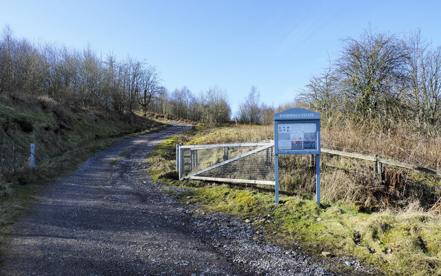
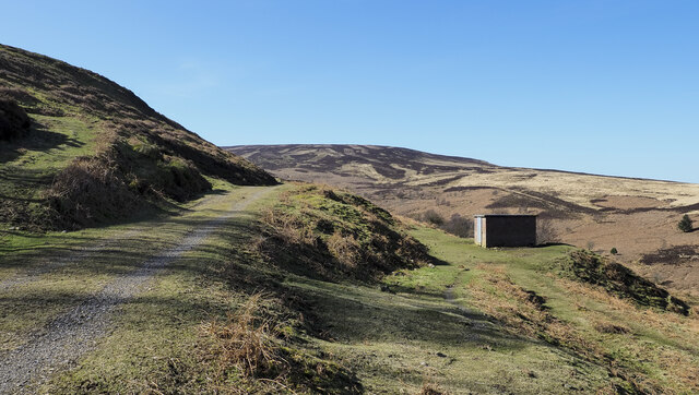
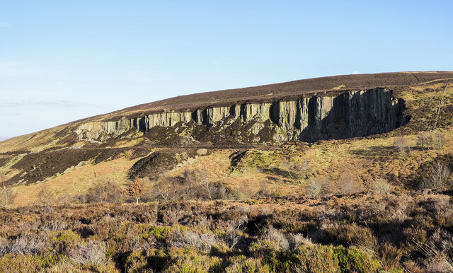
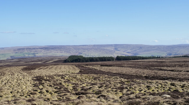
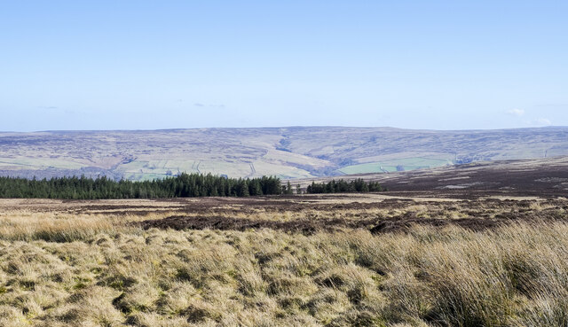
Haltonlea Fell is a rugged and picturesque area located in the county of Northumberland, England. Situated in the northern part of the county, it is part of the wider Northumberland National Park. The fell is characterized by its diverse landscape, consisting of downs and moorland.
The downs of Haltonlea Fell offer vast expanses of rolling hills, covered in lush grasses and wildflowers during the summer months. These downs provide breathtaking panoramic views of the surrounding countryside, with glimpses of distant mountains and valleys. The area is a haven for walkers and hikers, who can explore the numerous footpaths that crisscross the fell.
In contrast, the moorland of Haltonlea Fell is a more rugged and untamed landscape. It is characterized by its heather-covered hills, scattered with rocky outcrops and peat bogs. The moorland is home to a variety of wildlife, including birds of prey such as the merlin and peregrine falcon, as well as red grouse and curlew. It is also known for its abundance of wild bilberries, which grow in the heather.
Haltonlea Fell offers a peaceful and remote experience for those seeking to escape the bustle of everyday life. The area is relatively untouched by human development, with only a few scattered farms and cottages dotting the landscape. This makes it an ideal location for those who appreciate the beauty and tranquility of nature.
Overall, Haltonlea Fell, Northumberland, with its downs and moorland, offers a stunning and diverse landscape for nature enthusiasts and outdoor adventurers alike.
If you have any feedback on the listing, please let us know in the comments section below.
Haltonlea Fell Images
Images are sourced within 2km of 54.91146/-2.5571601 or Grid Reference NY6457. Thanks to Geograph Open Source API. All images are credited.


Haltonlea Fell is located at Grid Ref: NY6457 (Lat: 54.91146, Lng: -2.5571601)
Unitary Authority: Northumberland
Police Authority: Northumbria
What 3 Words
///firelight.enchanted.effort. Near Greenhead, Northumberland
Nearby Locations
Related Wikis

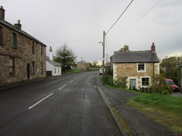
Halton Lea Gate
Halton Lea Gate is a small village in Northumberland, England, on the A689 road close to the boundary of the counties of Northumberland and Cumbria. The...

Midgeholme Coalfield
The Midgeholme Coalfield is a coalfield in Midgeholme, on the border of Cumbria with Northumberland in northern England. It is the largest of a series...

Lambley railway station
Lambley was a railway station on the Alston Branch Line, which ran between Haltwhistle and Alston. The station, situated 4+3⁄4 miles (8 km) south-west...
Tindale, Cumbria
Tindale or Tindale Fell is a hamlet in the parish of Farlam in the City of Carlisle district of the English county of Cumbria. It is to the south of the...
Have you been to Haltonlea Fell?
Leave your review of Haltonlea Fell below (or comments, questions and feedback).