Hillier's Down
Downs, Moorland in Somerset Mendip
England
Hillier's Down
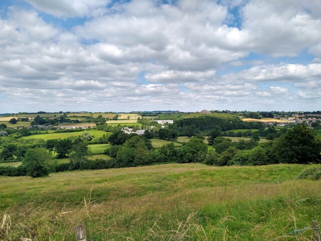
Hillier's Down is a picturesque area located in Somerset, England. It is renowned for its stunning natural beauty, consisting of rolling hills, vast moorland, and charming villages. Covering a vast expanse of approximately 500 acres, Hillier's Down offers a peaceful and tranquil escape from the hustle and bustle of city life.
The landscape of Hillier's Down is characterized by its undulating hills, covered in lush green grasses and dotted with wildflowers during the warmer months. The area is also home to a diverse range of fauna, including various species of birds, rabbits, and deer. It is a haven for nature lovers and birdwatchers, who can often spot rare and migratory birds in the area.
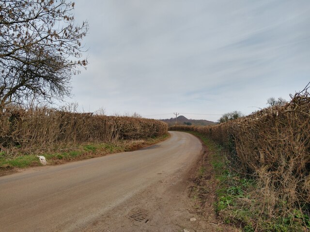
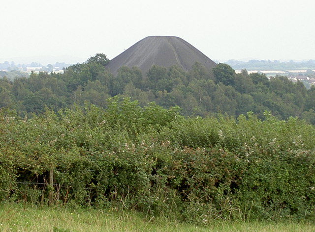
The moorland in Hillier's Down is a unique feature, with its rugged terrain and heather-covered hills providing a stark contrast to the surrounding countryside. The moors are a popular destination for hikers and walkers, who can explore the numerous footpaths and trails that wind through the area. From the top of the hills, visitors are rewarded with breathtaking panoramic views of the surrounding landscape and the nearby Somerset Levels.
The villages surrounding Hillier's Down are known for their quaint charm and traditional architecture. They offer visitors a glimpse into rural life in Somerset, with their thatched cottages, village greens, and historic churches. The local pubs and tearooms provide a warm welcome to visitors, offering delicious meals and refreshments made with locally sourced ingredients.
In summary, Hillier's Down is a stunning area of natural beauty in Somerset, offering visitors the opportunity to immerse themselves in the tranquility of the countryside, explore the moors, and experience the charm of the surrounding villages.
If you have any feedback on the listing, please let us know in the comments section below.
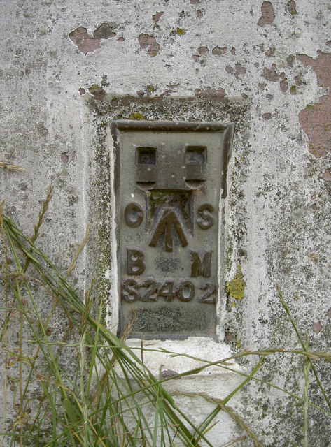
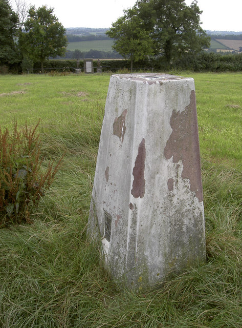
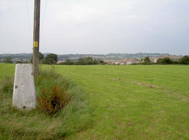
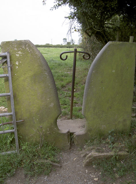
Hillier's Down Images
Images are sourced within 2km of 51.28901/-2.5156198 or Grid Reference ST6454. Thanks to Geograph Open Source API. All images are credited.


Hillier's Down is located at Grid Ref: ST6454 (Lat: 51.28901, Lng: -2.5156198)
Administrative County: Somerset
District: Mendip
Police Authority: Avon and Somerset
What 3 Words
///lovely.emporium.feared. Near Paulton, Somerset
Nearby Locations
Related Wikis
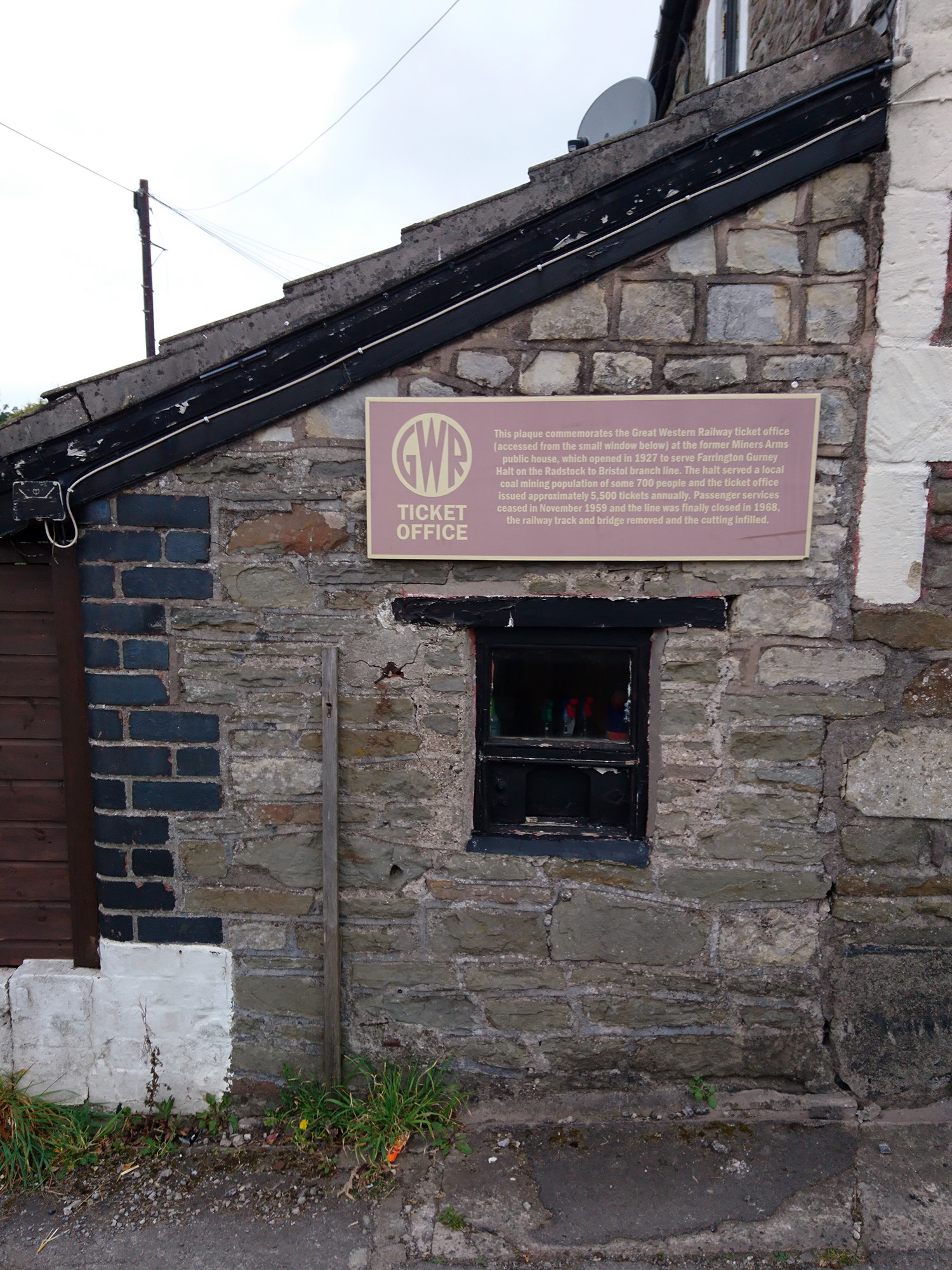
Farrington Gurney Halt railway station
Farrington Gurney Halt railway station served the village of Farrington Gurney, Somerset, England from 1927 to 1959 on the Bristol and North Somerset Railway...
Farrington Gurney
Farrington Gurney is a village and civil parish in Somerset, England located at the foot of the Mendip Hills on the junction of the A37 and A362. It has...

Paulton Memorial Hospital
Paulton Memorial Hospital is a community hospital located in the village of Paulton, Somerset, approximately 12 miles (19 km) from Bath, managed by HCRG...
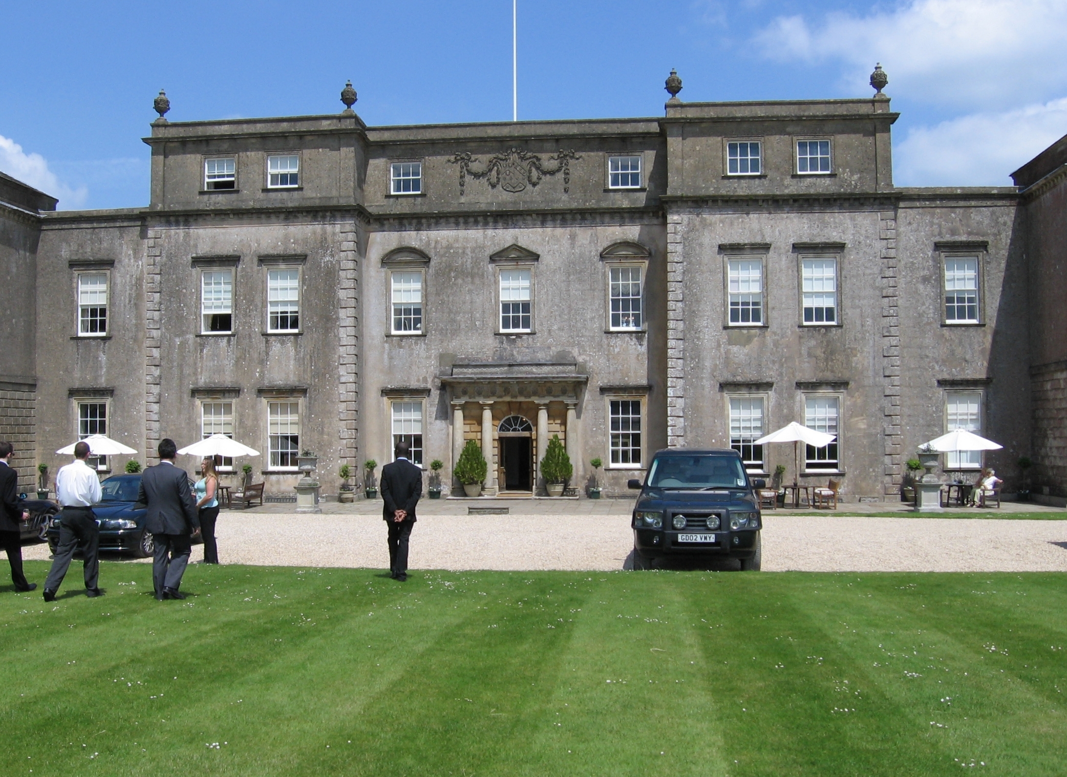
Ston Easton Park
Ston Easton Park is an English country house built in the 18th century. It lies near the village of Ston Easton, Somerset. It is a Grade I listed building...

Paulton Rovers F.C.
Paulton Rovers Football Club is an English football club based on Winterfield Road in the growing village of Paulton near Bristol. They were established...

Somervale School
Somervale School is situated in Midsomer Norton in Bath and North East Somerset in South West England. The school, which has academy status, is a specialist...
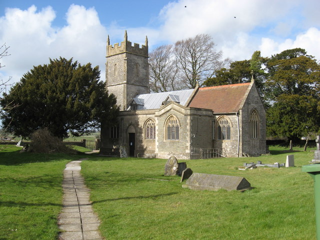
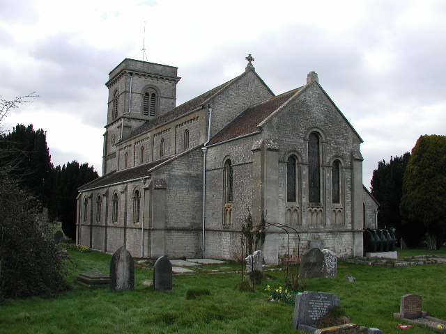
Church of St Mary the Virgin, Ston Easton
The Anglican Church of St Mary the Virgin in Ston Easton, Somerset, England, is a Grade II* listed building dating from the 11th century, with a 15th-century...
Ston Easton
Ston Easton is a linear village and civil parish in the English county of Somerset. It is 14 miles (23 km) southwest of Bath and 7 miles (11 km) north...
Nearby Amenities
Located within 500m of 51.28901,-2.5156198Have you been to Hillier's Down?
Leave your review of Hillier's Down below (or comments, questions and feedback).