Hillier's Down Wood
Wood, Forest in Somerset Mendip
England
Hillier's Down Wood
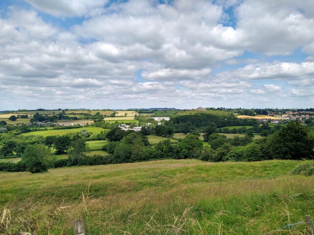
Hillier's Down Wood, located in Somerset, England, is a picturesque woodland that spans over a vast area. With its tranquil and serene surroundings, the wood is a popular destination for nature enthusiasts and walkers alike. The wood is part of the larger Quantock Hills, an Area of Outstanding Natural Beauty.
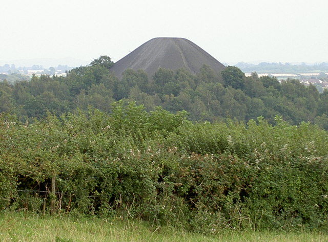
Hillier's Down Wood is characterized by its diverse and rich ecosystem. The wood is predominantly made up of deciduous trees, including beech, oak, and ash, which provide a stunning display of colors during the autumn season. The forest floor is covered in a thick layer of leaf litter, creating a natural carpet of vibrant hues.
The wood is home to a wide variety of wildlife, including deer, badgers, foxes, and a multitude of bird species. The area is an important habitat for several rare and endangered species, such as the lesser horseshoe bat and the silver-washed fritillary butterfly.
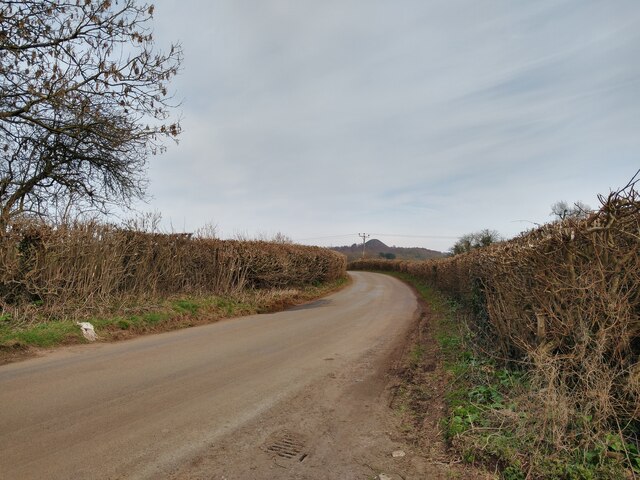
Visitors to Hillier's Down Wood can explore its numerous walking trails, allowing them to immerse themselves in the beauty of nature. The wood offers a peaceful and tranquil environment, providing an ideal escape from the hustle and bustle of everyday life. The sound of birdsong and the rustling of leaves underfoot create a soothing ambience, inviting visitors to relax and unwind.
Hillier's Down Wood is not only a natural haven but also an important site for conservation efforts. The wood is carefully managed to preserve its unique ecosystem and protect its wildlife. As a result, it remains a cherished destination for both locals and tourists seeking a connection with nature.
If you have any feedback on the listing, please let us know in the comments section below.
Hillier's Down Wood Images
Images are sourced within 2km of 51.288996/-2.5125508 or Grid Reference ST6454. Thanks to Geograph Open Source API. All images are credited.


Hillier's Down Wood is located at Grid Ref: ST6454 (Lat: 51.288996, Lng: -2.5125508)
Administrative County: Somerset
District: Mendip
Police Authority: Avon and Somerset
What 3 Words
///swatting.showed.enclosing. Near Paulton, Somerset
Nearby Locations
Related Wikis
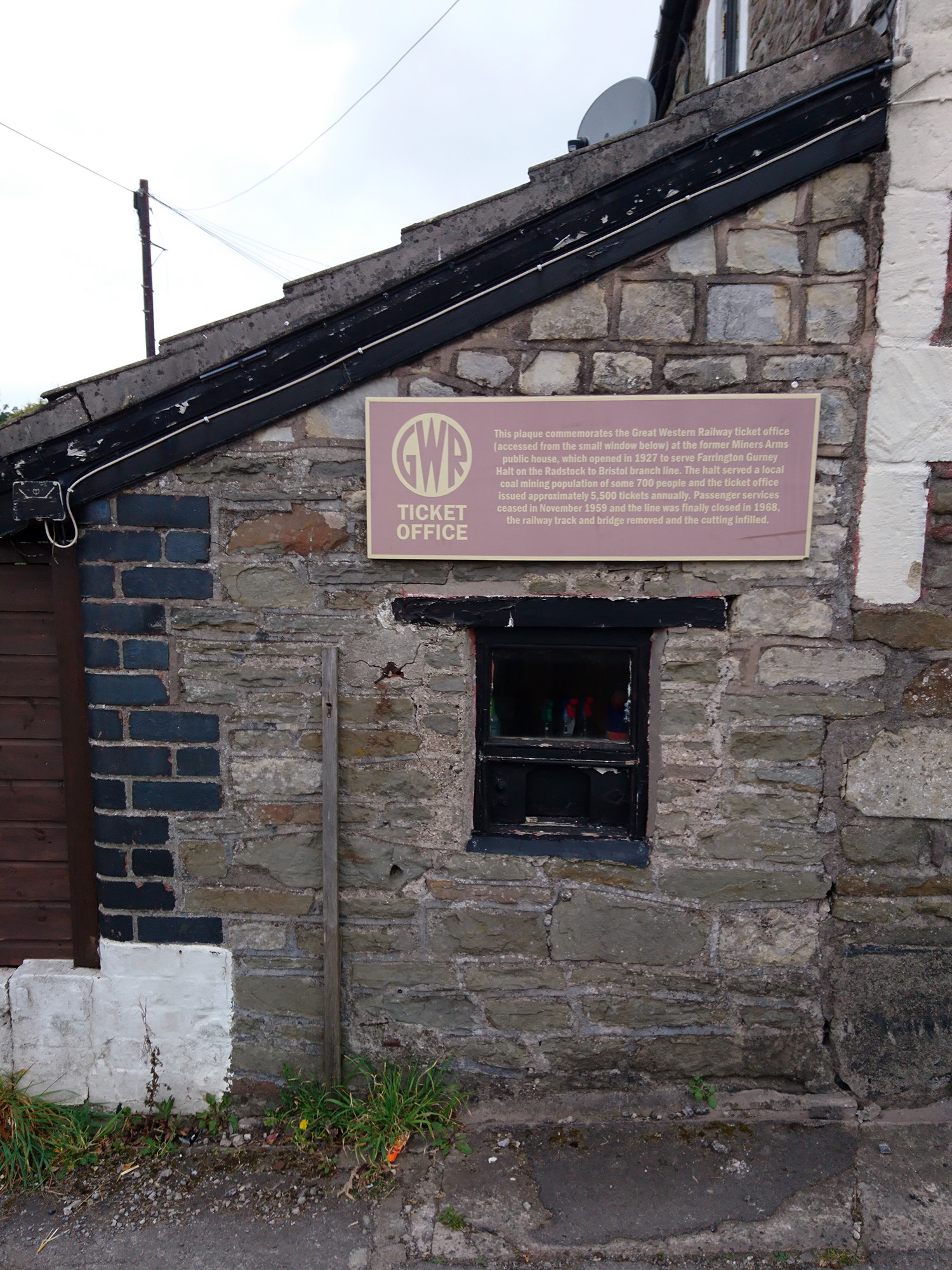
Farrington Gurney Halt railway station
Farrington Gurney Halt railway station served the village of Farrington Gurney, Somerset, England from 1927 to 1959 on the Bristol and North Somerset Railway...

Paulton Memorial Hospital
Paulton Memorial Hospital is a community hospital located in the village of Paulton, Somerset, approximately 12 miles (19 km) from Bath, managed by HCRG...
Farrington Gurney
Farrington Gurney is a village and civil parish in Somerset, England located at the foot of the Mendip Hills on the junction of the A37 and A362. It has...

Somervale School
Somervale School is situated in Midsomer Norton in Bath and North East Somerset in South West England. The school, which has academy status, is a specialist...

The Priory, Midsomer Norton
The Priory in Church Square, Midsomer Norton, within the English county of Somerset was rebuilt in the early or mid 17th century. It is a Grade II* listed...

Paulton Rovers F.C.
Paulton Rovers Football Club is an English football club based on Winterfield Road in the growing village of Paulton near Bristol. They were established...

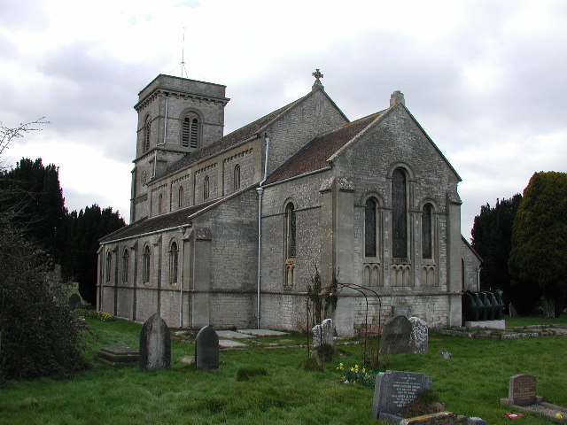
Church of St John the Baptist, Midsomer Norton
The Anglican Church of St John the Baptist in Midsomer Norton, Somerset, England, is a Grade II* listed building. St. John's is part of the Diocese of...
Church of the Holy Ghost, Midsomer Norton
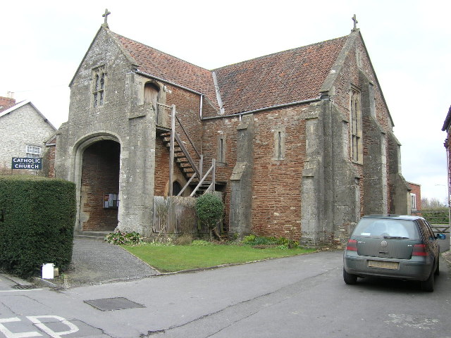
The Church of the Holy Ghost, Midsomer Norton, Somerset, England is a Roman Catholic parish church housed in a converted tithe barn. It is served by monks...
Nearby Amenities
Located within 500m of 51.288996,-2.5125508Have you been to Hillier's Down Wood?
Leave your review of Hillier's Down Wood below (or comments, questions and feedback).