Summersgill Fell
Downs, Moorland in Lancashire Lancaster
England
Summersgill Fell

The requested URL returned error: 429 Too Many Requests
If you have any feedback on the listing, please let us know in the comments section below.
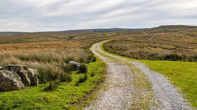
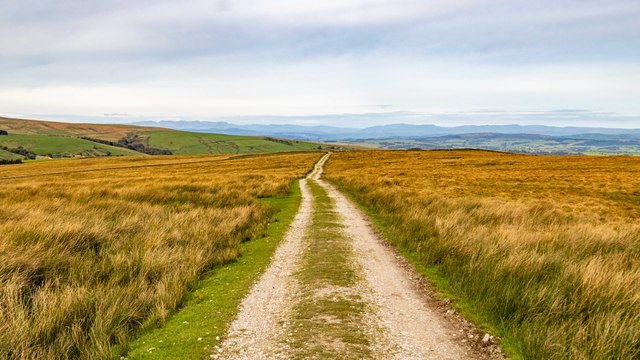
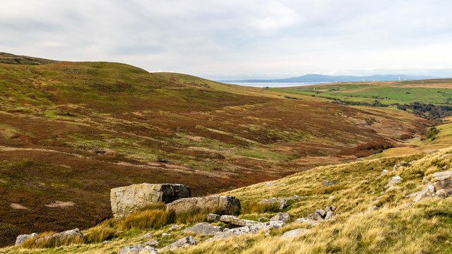
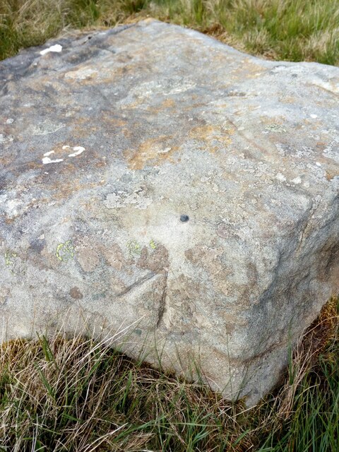
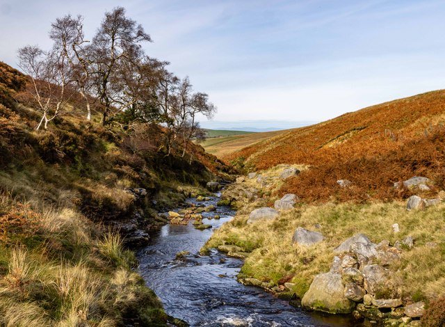
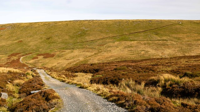
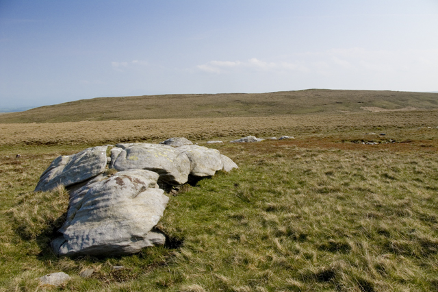
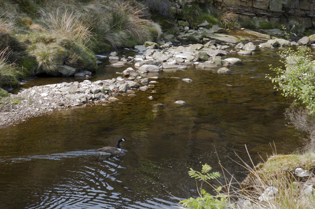
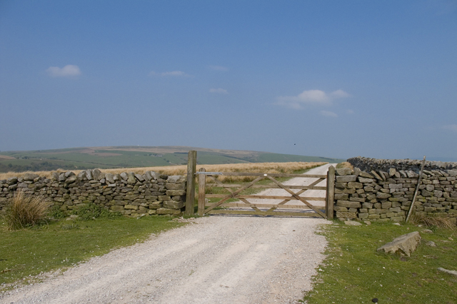
Summersgill Fell Images
Images are sourced within 2km of 54.04951/-2.5593217 or Grid Reference SD6361. Thanks to Geograph Open Source API. All images are credited.


Summersgill Fell is located at Grid Ref: SD6361 (Lat: 54.04951, Lng: -2.5593217)
Administrative County: Lancashire
District: Lancaster
Police Authority: Lancashire
What 3 Words
///pronouns.bundles.smarting. Near High Bentham, North Yorkshire
Nearby Locations
Related Wikis

Wolfhole Crag
Wolfhole Crag is an isolated and seldom-visited hill in the Forest of Bowland in Lancashire, England. Its seclusion is due in part to its low profile and...

Roeburndale
Roeburndale is a civil parish in the City of Lancaster and the English county of Lancashire. In 2001 it had a population of 76. In the 2011 census Roeburndale...

Church of the Good Shepherd, Tatham
The Church of the Good Shepherd is on Tatham Fell in Lancashire, England. It is an active Anglican parish church in the deanery of Tunstall, the archdeaconry...

White Hill (Forest of Bowland)
White Hill is a hill in the Forest of Bowland, north-western England. It lies between Slaidburn and High Bentham. The summit houses a tower and a trig...
Have you been to Summersgill Fell?
Leave your review of Summersgill Fell below (or comments, questions and feedback).