Well Brae

Downs, Moorland in Roxburghshire

Scotland

Well Brae

Farm track near Pirnie
Farm track near Pirnie Credit: JThomas

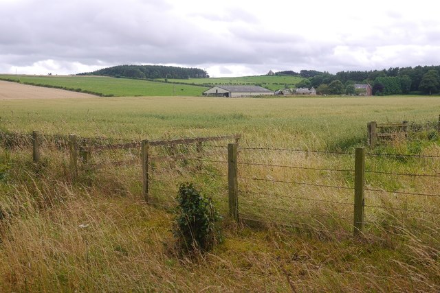
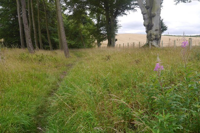
Well Brae is a picturesque area located in the county of Roxburghshire, nestled in the heart of the Scottish Borders region. Known for its stunning landscape, it is predominantly characterized by downs and moorland, offering breathtaking views and a tranquil atmosphere.

The area is blessed with diverse flora and fauna, making it a haven for nature enthusiasts. The downs of Well Brae are covered with rich heather, providing a vibrant purple hue during the blooming season. The moorland, on the other hand, is home to a wide variety of wildlife, including red grouse, curlew, and lapwing. Birdwatchers flock to the area to catch a glimpse of these fascinating creatures.

Visitors to Well Brae can indulge in a range of outdoor activities. The rolling downs are perfect for hiking, with numerous trails crisscrossing the area, offering both leisurely walks and challenging routes for the more adventurous. The moorland is also a popular spot for birdwatching, photography, and even nature-inspired art.

The charm of Well Brae extends beyond its natural beauty. The nearby villages offer a glimpse into the local culture and history, with charming cottages, quaint pubs, and historic landmarks. Visitors can explore the vibrant arts and crafts scene, with local artisans showcasing their talents in pottery, textiles, and woodwork.

Whether seeking a peaceful retreat or an adventure in the great outdoors, Well Brae in Roxburghshire is a must-visit destination. Its downs and moorland, coupled with its rich wildlife and cultural offerings, make it a truly enchanting place.

If you have any feedback on the listing, please let us know in the comments section below.
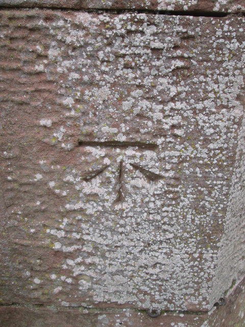
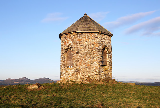
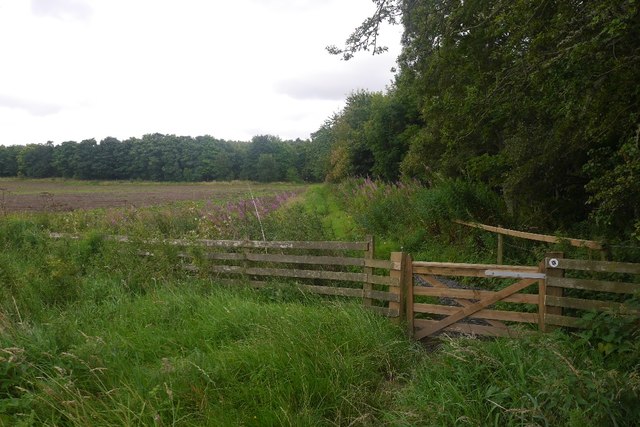
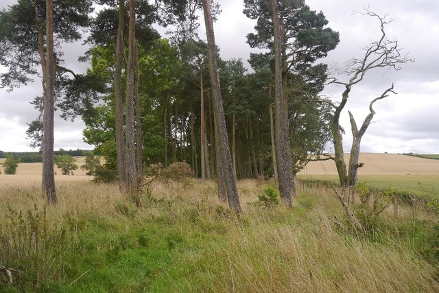
Well Brae Images

Images are sourced within 2km of 55.54928/-2.5850758 or Grid Reference NT6328. Thanks to Geograph Open Source API. All images are credited.

Farm track near Pirnie
Grazing near Pirnie
Grazing near Pirnie
Minor road near Pirnie Towards Fairnington.
Minor road near Pirnie
Towards Fairnington.
Ploughed field near Fairnington Towards Major's Plantation.
Ploughed field near Fairnington
Towards Major's Plantation.
Ploughed field near Fairnington Towards distant woodland and the Waterloo Monument on Peniel Heugh.
Ploughed field near Fairnington
Towards distant woodland and the Waterloo Monument on Peniel Heugh.
Minor road Fairnington
Prepared field and woodland near Fairnington
Minor beside woodland near Fairnington Towards Muirhouselaw.
Minor beside woodland near Fairnington
Towards Muirhouselaw.
Riddletonhill View across waterlogged winter crops to Riddletonhill.
Riddletonhill
View across waterlogged winter crops to Riddletonhill.
The A699 at ploughlands
A699 near Ploughlands Heading east towards Kelso.
A699 near Ploughlands
Heading east towards Kelso.
Ordnance Survey Cut Mark This OS cut mark can be found on the west angle of a roadside barn at Muirhouselaw Farm. It marks a point 136.547m above mean sea level.
Ordnance Survey Cut Mark
This OS cut mark can be found on the west angle of a roadside barn at Muirhouselaw Farm. It marks a point 136.547m above mean sea level.
Baron’s Folly This octagonal stone structure with slated roof on Down Law is reputed to have been built by a local Baron as a trysting place for himself and his lover. The Eildon Hills are on the skyline to the left.
Baron’s Folly
This octagonal stone structure with slated roof on Down Law is reputed to have been built by a local Baron as a trysting place for himself and his lover. The Eildon Hills are on the skyline to the left.
Gate, St Cuthbert's Way On the course of Dere Street.
Gate, St Cuthbert's Way
On the course of Dere Street.
Dere Street Much of the course of the Roman road is through a strip wood.
Dere Street
Much of the course of the Roman road is through a strip wood.
Lilliardsedge Looking towards the mausoleum on Gersit Law from Dere Street.
Lilliardsedge
Looking towards the mausoleum on Gersit Law from Dere Street.
St Cuthbert's Way, Lilliard's Edge Following the route of Dere Street.
St Cuthbert's Way, Lilliard's Edge
Following the route of Dere Street.
St Cuthbert's Way, Lilliard's Edge In a strip wood along the course of Dere Street.
St Cuthbert's Way, Lilliard's Edge
In a strip wood along the course of Dere Street.
Show me another place!

Well Brae is located at Grid Ref: NT6328 (Lat: 55.54928, Lng: -2.5850758)

Unitary Authority: The Scottish Borders

Police Authority: The Lothians and Scottish Borders

What 3 Words

///flight.begins.remarried. Near Saint Boswells, Scottish Borders

Related Wikis

Battle of Ancrum Moor

The Battle of Ancrum Moor was fought during the War of the Rough Wooing in 1545. The Scottish victory put a temporary end to English incursions in the...

Maxton railway station

Maxton railway station served the hamlet of Maxton, Roxburghshire, Scotland from 1851 to 1964 on the Kelso Line. == History == The station opened in June...

Maxton, Roxburghshire

Maxton is a hamlet and civil parish in Roxburghshire, Scotland, and part of the Scottish Borders region. Maxton lies just off the A68, south of St. Boswells...

Monteath Mausoleum

The Monteath Mausoleum is a large landmark in the Scottish Borders near the village of Ancrum. The listed building can be seen from the A68 road just north...

Nearby Amenities

Located within 500m of 55.54928,-2.5850758
Post Box
Brand: Royal Mail
Brand Wikidata: Q638098
Mapillary: 196596062886750
Operator: Royal Mail
Operator Wikidata: Q638098
Post Box Mounting: building
Post Box Type: wall
Ref: TD6 76
Survey Date: 2023-05-18
Lat/Long: 55.5491403/-2.589597
Kill Law
Natural: peak
Lat/Long: 55.5515452/-2.5861718
Muirhouselaw
Place: hamlet
Lat/Long: 55.549617/-2.589426
Power: pole
Lat/Long: 55.5460269/-2.5813191
Power: pole
Lat/Long: 55.5468528/-2.5812264
Power: pole
Lat/Long: 55.5476642/-2.5811337
Power: pole
Lat/Long: 55.548059/-2.5817105
Power: pole
Lat/Long: 55.5485878/-2.582501
Power: pole
Lat/Long: 55.5491093/-2.5832375
Power: pole
Lat/Long: 55.5496235/-2.583992
Power: pole
Lat/Long: 55.5501814/-2.5847747
Power: pole
Lat/Long: 55.5501187/-2.5853593
Power: pole
Lat/Long: 55.5500022/-2.5866055
Power: pole
Lat/Long: 55.549909/-2.5877205
Power: pole
Lat/Long: 55.5497007/-2.5881377
Power: pole
Lat/Long: 55.5494152/-2.588426
The data included in this document is from www.openstreetmap.org. The data is made available under ODbL.

Have you been to Well Brae?

Leave your review of Well Brae below (or comments, questions and feedback).