Ditcheat Park
Downs, Moorland in Somerset Mendip
England
Ditcheat Park

Ditcheat Park is a charming village located in the county of Somerset, England. Situated amidst the picturesque landscape of the Mendip Hills, it is renowned for its stunning Downs and Moorland.
The village itself is nestled along the A371 road, approximately 15 miles south of the historic city of Bath. It boasts a population of around 500 residents, making it a close-knit community with a welcoming atmosphere.
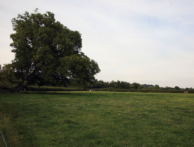
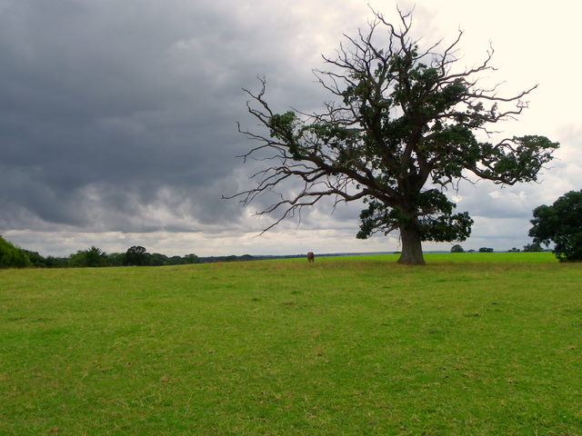
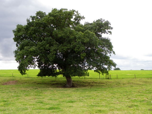
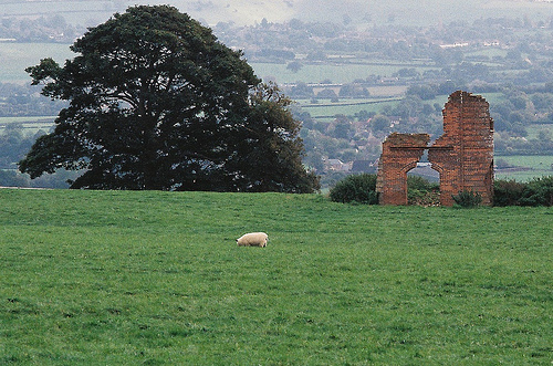
Ditcheat Park is primarily characterized by its breathtaking Downs, which provide panoramic views of the surrounding countryside. The Downs are covered in lush greenery, dotted with vibrant wildflowers during the warmer months. They offer a tranquil retreat for nature lovers and hikers, providing ample opportunities for exploring and enjoying the great outdoors.
In addition to the Downs, Ditcheat Park is also known for its Moorland. The Moorland is a unique ecosystem, characterized by its open, treeless expanses and heather-covered terrain. It is home to a variety of wildlife, including birds, deer, and grazing sheep. The Moorland provides a distinctive and beautiful backdrop, offering a sense of tranquility and natural beauty to the area.
Overall, Ditcheat Park is a hidden gem in the heart of Somerset, offering visitors and residents alike a chance to appreciate the beauty of the Downs and Moorland, and to experience the charm of a close-knit village community.
If you have any feedback on the listing, please let us know in the comments section below.
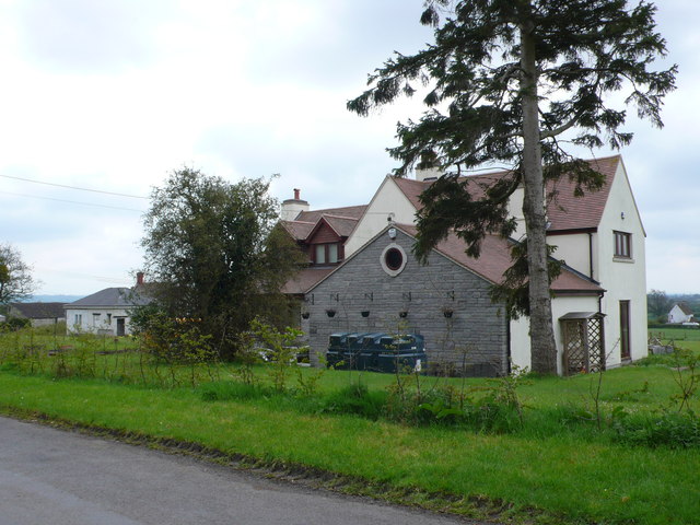
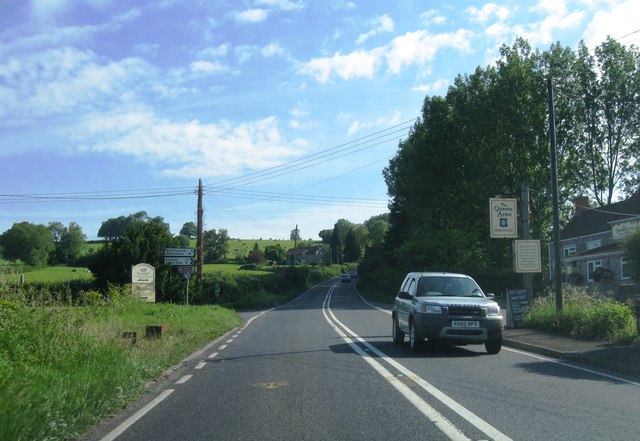
Ditcheat Park Images
Images are sourced within 2km of 51.123293/-2.5441211 or Grid Reference ST6236. Thanks to Geograph Open Source API. All images are credited.


Ditcheat Park is located at Grid Ref: ST6236 (Lat: 51.123293, Lng: -2.5441211)
Administrative County: Somerset
District: Mendip
Police Authority: Avon and Somerset
What 3 Words
///connected.awoke.belts. Near Evercreech, Somerset
Nearby Locations
Related Wikis
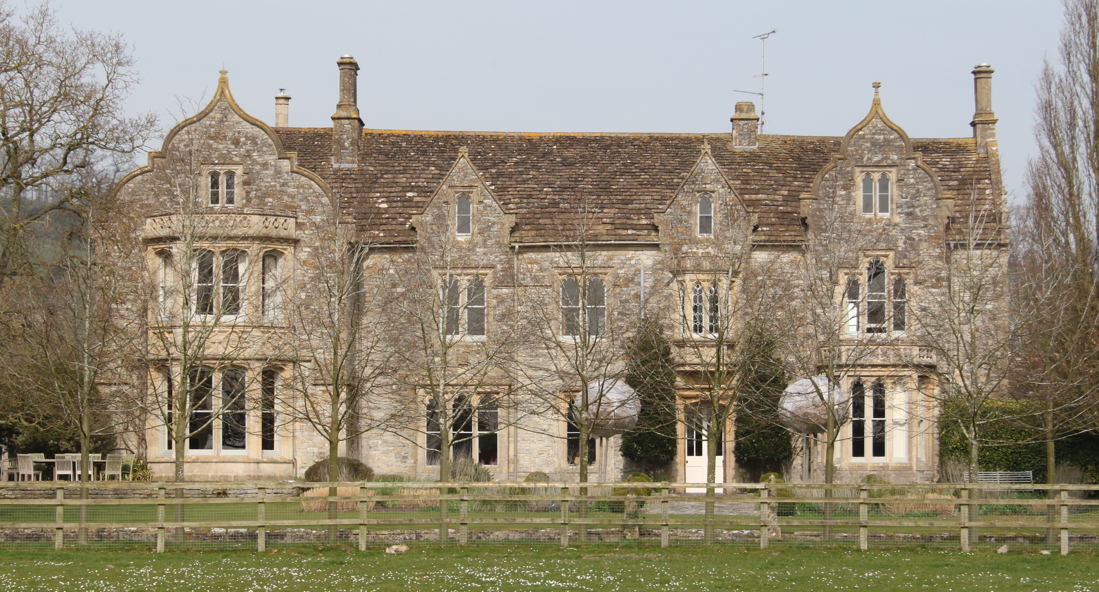
The Abbey, Ditcheat
The Abbey, Ditcheat (formerly known as The Priory) is a large house at Ditcheat in Somerset. Originally a rectory, now converted into a house, the Grade...

Ditcheat
Ditcheat is a village and civil parish 4.5 miles (7 km) south of Shepton Mallet, and 2.5 miles (4 km) north-west of Castle Cary, in Somerset, England....

Alhampton Mission Church
Alhampton Mission Church is a Church of England church in Alhampton, Somerset, England. The tin tabernacle was erected in 1892 and now forms part of the...
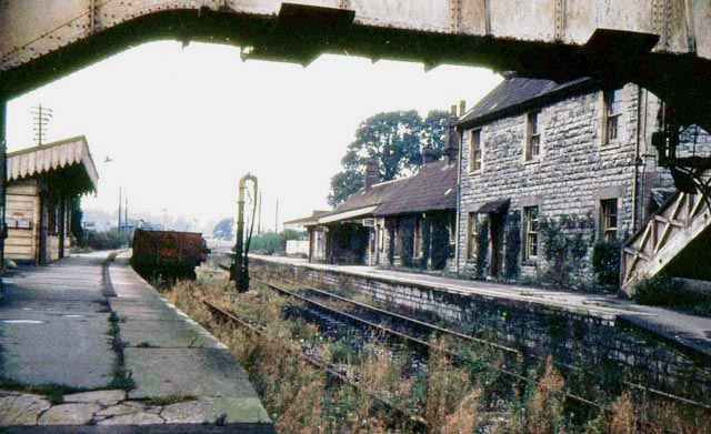
Evercreech Junction railway station
Evercreech Junction was a railway station at Evercreech on the Somerset and Dorset Joint Railway. Originally opened in 1862 as "Evercreech" on the original...
Nearby Amenities
Located within 500m of 51.123293,-2.5441211Have you been to Ditcheat Park?
Leave your review of Ditcheat Park below (or comments, questions and feedback).