Ditcheat
Settlement in Somerset Mendip
England
Ditcheat

Ditcheat is a small village located in the county of Somerset, England. Situated approximately 20 miles south of Bristol, it falls within the district of Mendip. The village is nestled in the picturesque countryside, surrounded by rolling hills and scenic landscapes.
With a population of around 500 residents, Ditcheat is known for its tranquility and rural charm. The village is characterized by its traditional stone-built houses and historic buildings, which give it a timeless and idyllic atmosphere. One notable feature is the Grade II listed Church of St. Mary Magdalene, dating back to the 13th century, which adds to the village's historical significance.
Agriculture plays an important role in the local economy, with farming being a prominent activity in the area. The fertile land surrounding Ditcheat is used for growing crops, rearing livestock, and horse breeding. The village is also home to several horse racing stables, including the renowned Ditcheat Manor Stables, owned by the legendary National Hunt trainer Paul Nicholls. The stables have produced many champion racehorses, attracting horse racing enthusiasts and professionals from around the world.
Despite its small size, Ditcheat offers a sense of community and a range of amenities for its residents. These include a village hall, a primary school, and a local pub, providing a gathering place for locals and visitors alike. The village's proximity to the Mendip Hills and other natural attractions makes it an ideal location for outdoor activities such as hiking, cycling, and exploring the nearby nature reserves.
In summary, Ditcheat is a charming rural village with a rich history, surrounded by beautiful countryside and known for its agricultural heritage and horse racing connections.
If you have any feedback on the listing, please let us know in the comments section below.
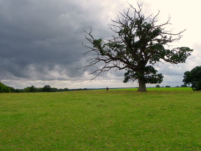
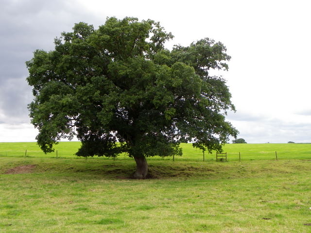
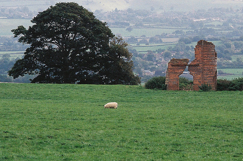
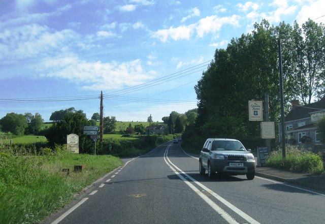
Ditcheat Images
Images are sourced within 2km of 51.124035/-2.536887 or Grid Reference ST6236. Thanks to Geograph Open Source API. All images are credited.


Ditcheat is located at Grid Ref: ST6236 (Lat: 51.124035, Lng: -2.536887)
Administrative County: Somerset
District: Mendip
Police Authority: Avon and Somerset
What 3 Words
///bravery.formation.pyramid. Near Evercreech, Somerset
Nearby Locations
Related Wikis
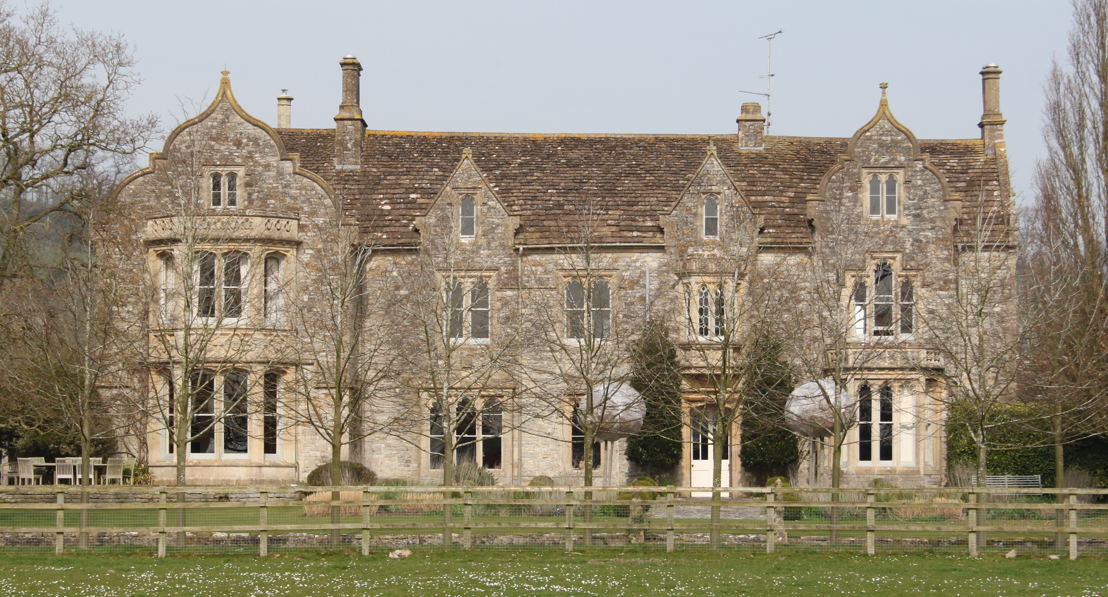
The Abbey, Ditcheat
The Abbey, Ditcheat (formerly known as The Priory) is a large house at Ditcheat in Somerset. Originally a rectory, now converted into a house, the Grade...

Ditcheat
Ditcheat is a village and civil parish 4.5 miles (7 km) south of Shepton Mallet, and 2.5 miles (4 km) north-west of Castle Cary, in Somerset, England....
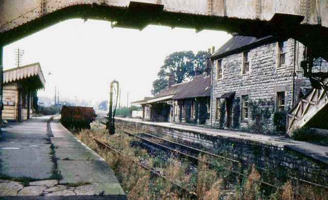
Evercreech Junction railway station
Evercreech Junction was a railway station at Evercreech on the Somerset and Dorset Joint Railway. Originally opened in 1862 as "Evercreech" on the original...

Alhampton Mission Church
Alhampton Mission Church is a Church of England church in Alhampton, Somerset, England. The tin tabernacle was erected in 1892 and now forms part of the...

Pylle railway station
Pylle railway station was a station on the Highbridge branch of the Somerset and Dorset Joint Railway. Opened 3 February 1862 on the original S&DJR main...
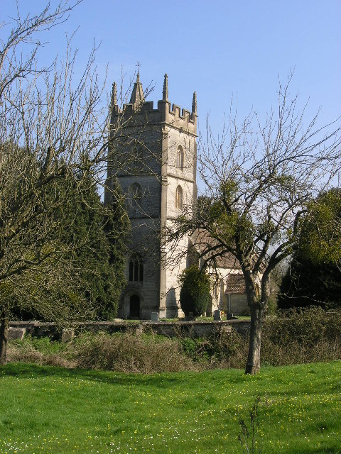
Church of St Thomas à Becket, Pylle
The Anglican Church of St Thomas à Becket in Pylle, Somerset, England, was built in the 15th century. It is a Grade II* listed building. == History... ==
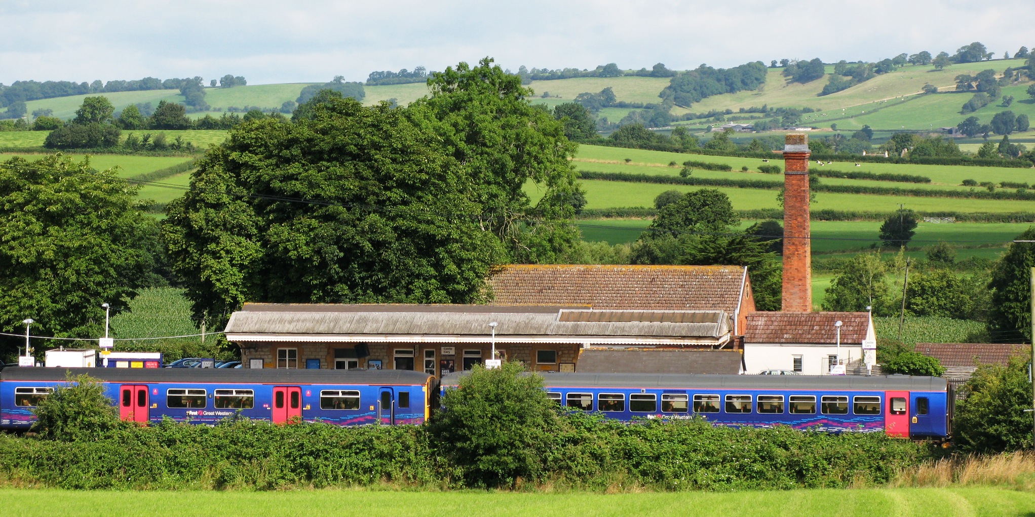
Castle Cary railway station
Castle Cary railway station is on the Reading to Taunton line 115.25 miles (185.48 km) south west of London Paddington and the Bristol to Weymouth line...
Pylle
Pylle is a village and civil parish 4 miles (6.4 km) south west of Shepton Mallet, and 7 miles (11.3 km) from Wells, in the Mendip district of Somerset...
Nearby Amenities
Located within 500m of 51.124035,-2.536887Have you been to Ditcheat?
Leave your review of Ditcheat below (or comments, questions and feedback).