Dillicar Common

Downs, Moorland in Westmorland South Lakeland

England

Dillicar Common

View towards M^ and Dillicar Knott
View towards M^ and Dillicar Knott Credit: N Chadwick

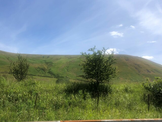
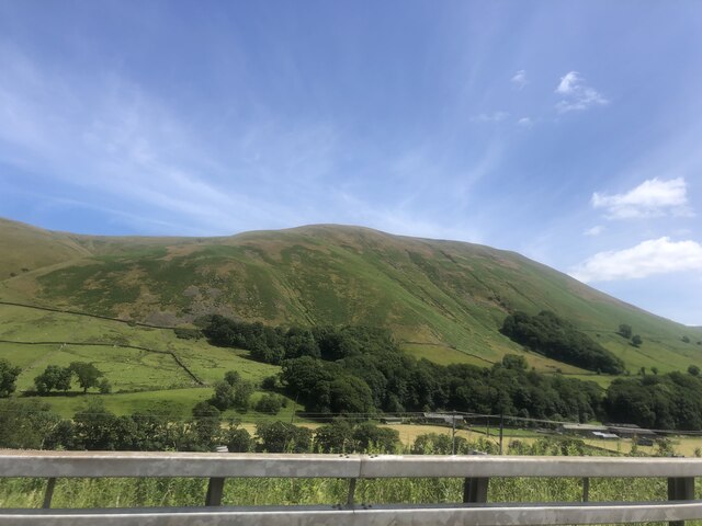
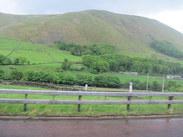
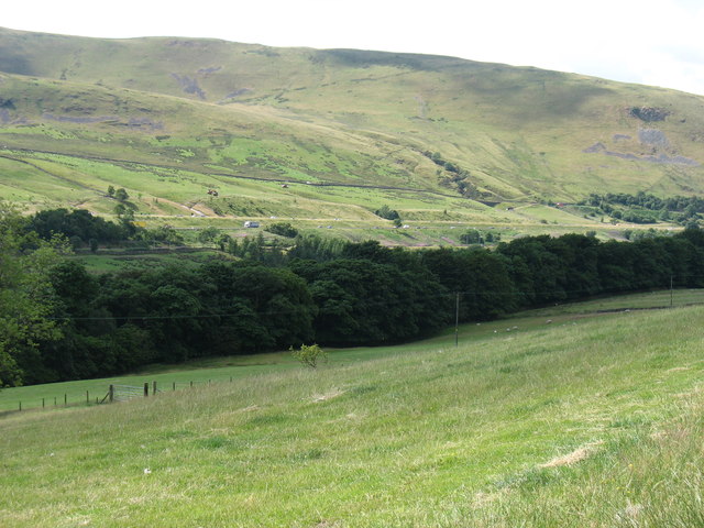
Dillicar Common is a picturesque area located in the county of Westmorland, England. Nestled amidst the breathtaking landscape of the Lake District National Park, it is renowned for its stunning downs and moorland scenery. The common spans across an area of approximately 500 acres, providing a vast expanse of natural beauty to explore.

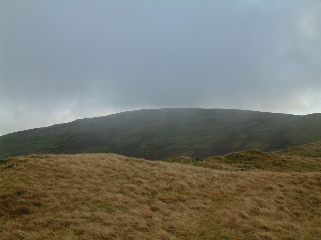
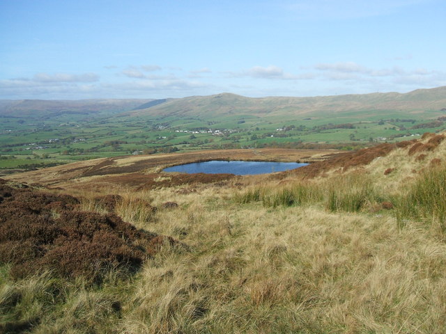
The common is characterized by its rolling hills, lush green meadows, and heather-covered moors. It offers a haven for wildlife enthusiasts, with a diverse range of flora and fauna calling this area home. Visitors can spot various bird species, including the elusive curlew and golden plover, as well as rabbits, foxes, and even red deer.

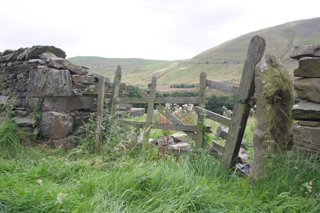
The rugged terrain of Dillicar Common provides ample opportunities for outdoor activities such as hiking, walking, and horse riding. There are several well-maintained trails that crisscross the area, offering breathtaking views of the surrounding countryside. One popular route is the Dillicar Fell walk, which takes you to the summit of the fell, providing panoramic vistas of the Lake District.

For those seeking tranquility and solitude, Dillicar Common is an ideal destination. Its remote location ensures a peaceful and serene atmosphere, away from the hustle and bustle of city life. Whether you choose to explore the common's diverse ecosystem or simply admire the idyllic scenery, Dillicar Common promises an unforgettable experience for nature lovers and outdoor enthusiasts alike.

If you have any feedback on the listing, please let us know in the comments section below.

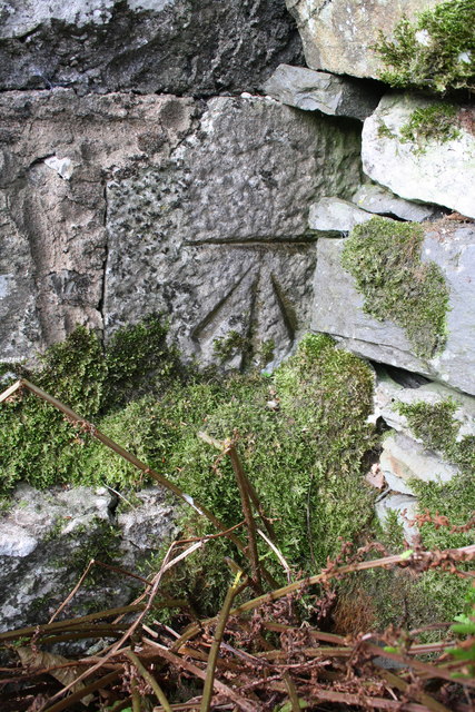
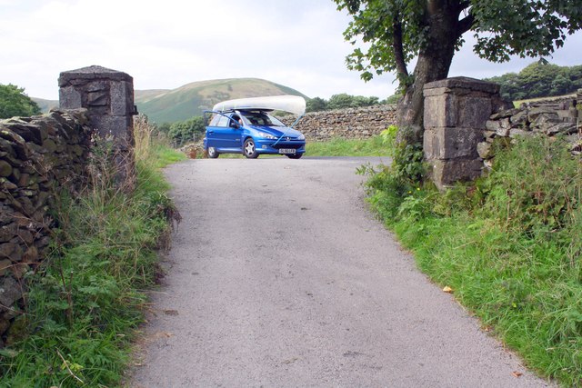
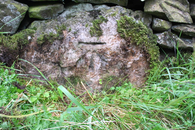
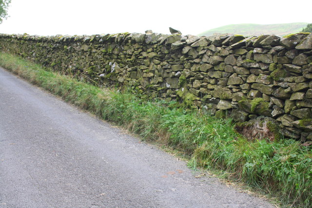
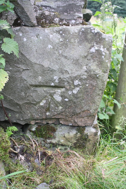
Dillicar Common Images

Images are sourced within 2km of 54.382917/-2.5895604 or Grid Reference SD6198. Thanks to Geograph Open Source API. All images are credited.

View towards M^ and Dillicar Knott
M6 in the Lune Valley The M6 motorway runs from junction 19 of the M1 at the Catthorpe Interchange, near Rugby to the Gretna junction (J45). Here it becomes the A74(M) and M74 which continues to Glasgow.

The M6 is the longest motorway in the United Kingdom (232 miles) and one of the busiest. It incorporates the first length of motorway opened in the UK (the Preston bypass in 1958) and forms part of a motorway "Backbone of Britain", running north-south between London and Glasgow via the industrial north of England. It is also part of the east-west route between the Midlands and the east coast ports.
M6 in the Lune Valley
The M6 motorway runs from junction 19 of the M1 at the Catthorpe Interchange, near Rugby to the Gretna junction (J45). Here it becomes the A74(M) and M74 which continues to Glasgow. The M6 is the longest motorway in the United Kingdom (232 miles) and one of the busiest. It incorporates the first length of motorway opened in the UK (the Preston bypass in 1958) and forms part of a motorway "Backbone of Britain", running north-south between London and Glasgow via the industrial north of England. It is also part of the east-west route between the Midlands and the east coast ports.
Temperature inversion in Lunedale The fog has almost evaporated at this point but was still thick over Morecambe Bay and well to the south. The West Coast Main Line and M6 squeeze through the westernmost of the Yorkshire Dales, a narrow corridor between the Lake District National Park (foreground) and the Yorkshire Dales National Park over the river.
Temperature inversion in Lunedale
The fog has almost evaporated at this point but was still thick over Morecambe Bay and well to the south. The West Coast Main Line and M6 squeeze through the westernmost of the Yorkshire Dales, a narrow corridor between the Lake District National Park (foreground) and the Yorkshire Dales National Park over the river.
Langdale Fells from the M6
Blease Fell
Blease Fell
Railway and fields towards High Cargill High Cargill Farm is the farm to be seen to the right
Railway and fields towards High Cargill
High Cargill Farm is the farm to be seen to the right
Great Coum and Little Coum, Grayrigg Common Two glacial corries in the Lune Gorge overlooking the M6. This must have been a wild and lonely spot before the building of the motorway, even with the railway.
Great Coum and Little Coum, Grayrigg Common
Two glacial corries in the Lune Gorge overlooking the M6. This must have been a wild and lonely spot before the building of the motorway, even with the railway.
Grayrigg Forest from the A685
In the upper Lune valley The river is hidden by the belt of trees. Beyond, the M6 can be seen, here on two slightly different levels.
In the upper Lune valley
The river is hidden by the belt of trees. Beyond, the M6 can be seen, here on two slightly different levels.
Benchmarked stone on wall on NE side of A685 Ordnance Survey rivet benchmark described on the Bench Mark Database at <span class="nowrap"><a title="http://www.bench-marks.org.uk/bm51151" rel="nofollow ugc noopener" href="http://www.bench-marks.org.uk/bm51151">Link</a><img style="margin-left:2px;" alt="External link" title="External link - shift click to open in new window" src="https://s1.geograph.org.uk/img/external.png" width="10" height="10"/></span>
Benchmarked stone on wall on NE side of A685
Ordnance Survey rivet benchmark described on the Bench Mark Database at LinkExternal link
View towards heart-shaped wood from A685 There is an OS benchmark <a href="https://www.geograph.org.uk/photo/3651209">NY6000 : Benchmarked stone on wall on NE side of A685</a> on the dry stone wall in the gap in the vegetation (marked by white piece of paper)
View towards heart-shaped wood from A685
There is an OS benchmark NY6000 : Benchmarked stone on wall on NE side of A685 on the dry stone wall in the gap in the vegetation (marked by white piece of paper)
Benchmark on gatepost at entrance road to High Carlingill Ordnance Survey cut mark benchmark described on the Bench Mark Database at <span class="nowrap"><a title="http://www.bench-marks.org.uk/bm50937" rel="nofollow ugc noopener" href="http://www.bench-marks.org.uk/bm50937">Link</a><img style="margin-left:2px;" alt="External link" title="External link - shift click to open in new window" src="https://s1.geograph.org.uk/img/external.png" width="10" height="10"/></span>
Benchmark on gatepost at entrance road to High Carlingill
Ordnance Survey cut mark benchmark described on the Bench Mark Database at LinkExternal link
Anyone seen a river or lake? The road from High Carlingill with an OS benchmark <a href="https://www.geograph.org.uk/photo/3651539">NY6100 : Benchmark on gatepost at entrance road to High Carlingill</a> on the right hand side gatepost
Anyone seen a river or lake?
The road from High Carlingill with an OS benchmark NY6100 : Benchmark on gatepost at entrance road to High Carlingill on the right hand side gatepost
Benchmark on boulder in wall on SW side Fairmile Road Ordnance Survey cut mark benchmark described on the Bench Mark Database at <span class="nowrap"><a title="http://www.bench-marks.org.uk/bm48531" rel="nofollow ugc noopener" href="http://www.bench-marks.org.uk/bm48531">Link</a><img style="margin-left:2px;" alt="External link" title="External link - shift click to open in new window" src="https://s1.geograph.org.uk/img/external.png" width="10" height="10"/></span>
Benchmark on boulder in wall on SW side Fairmile Road
Ordnance Survey cut mark benchmark described on the Bench Mark Database at LinkExternal link
Fairmile Road above High Carlingill There is an OS benchmark <a href="https://www.geograph.org.uk/photo/3651561">NY6100 : Benchmark on boulder in wall on SW side Fairmile Road</a> on a boulder at the base of the wall near the right hand edge of the image
Fairmile Road above High Carlingill
There is an OS benchmark NY6100 : Benchmark on boulder in wall on SW side Fairmile Road on a boulder at the base of the wall near the right hand edge of the image
Benchmark on remains of building on Fairmile Road Ordnance Survey cut mark benchmark described on the Bench Mark Database at <span class="nowrap"><a title="http://www.bench-marks.org.uk/bm50933" rel="nofollow ugc noopener" href="http://www.bench-marks.org.uk/bm50933">Link</a><img style="margin-left:2px;" alt="External link" title="External link - shift click to open in new window" src="https://s1.geograph.org.uk/img/external.png" width="10" height="10"/></span>
Benchmark on remains of building on Fairmile Road
Ordnance Survey cut mark benchmark described on the Bench Mark Database at LinkExternal link
Gateway on SW side of Fairmile Road There was a building on the left side of the gateway: now only its roadside wall remains, with an OS benchmark <a href="https://www.geograph.org.uk/photo/3651583">NY6100 : Benchmark on remains of building on Fairmile Road</a> on the roadface corner stone
Gateway on SW side of Fairmile Road
There was a building on the left side of the gateway: now only its roadside wall remains, with an OS benchmark NY6100 : Benchmark on remains of building on Fairmile Road on the roadface corner stone
Northbound M6, Grayrigg The M6 motorway runs from junction 19 of the M1 at the Catthorpe Interchange, near Rugby to the Gretna junction (J45). Here it becomes the A74(M) and M74 which continues to Glasgow.

The M6 is the longest motorway in the United Kingdom (232 miles) and one of the busiest. It incorporates the first length of motorway opened in the UK (the Preston bypass in 1958) and forms part of a motorway "Backbone of Britain", running north-south between London and Glasgow via the industrial north of England. It is also part of the east-west route between the Midlands and the east coast ports.
Northbound M6, Grayrigg
The M6 motorway runs from junction 19 of the M1 at the Catthorpe Interchange, near Rugby to the Gretna junction (J45). Here it becomes the A74(M) and M74 which continues to Glasgow. The M6 is the longest motorway in the United Kingdom (232 miles) and one of the busiest. It incorporates the first length of motorway opened in the UK (the Preston bypass in 1958) and forms part of a motorway "Backbone of Britain", running north-south between London and Glasgow via the industrial north of England. It is also part of the east-west route between the Midlands and the east coast ports.
Show me another place!

Dillicar Common is located at Grid Ref: SD6198 (Lat: 54.382917, Lng: -2.5895604)

Administrative County: Cumbria

District: South Lakeland

Police Authority: Cumbria

What 3 Words

///jugs.unwraps.speeding. Near Sedbergh, Cumbria

Related Wikis

Low Gill railway station

Low Gill railway station served the hamlet of Lowgill, Westmorland (now in Cumbria), England, from 1846 to 1966 on the Lancaster and Carlisle Railway....

Grayrigg Forest

Grayrigg Forest is a hill in Cumbria, England, located on the eastern edge of what might be considered the Lake District, and in August 2016 becoming part...

Grayrigg railway station

Grayrigg railway station in Lambrigg parish, was situated on the course of the original Lancaster and Carlisle Railway (L&CR) (the West Coast Main Line...

Beck Foot

Beck Foot is a hamlet in Cumbria, England, situated on the B6257 road south of Lowgill, the West Coast Main Line and M6 motorway. The disused Lowgill Viaduct...

Holy Trinity Church, Howgill

Holy Trinity Church stands in a country lane near the hamlet of Howgill, between Sedbergh and Tebay, Cumbria, England. It is an active Anglican church...

Lambrigg

Lambrigg is a civil parish in the South Lakeland district of the English county of Cumbria. It includes the hamlets of Cross Houses and Lambrigg Head...

Tebay rail accident

The Tebay rail accident occurred when four railway workers working on the West Coast Main Line were killed by a runaway wagon near Tebay, Cumbria, England...

Grayrigg

Grayrigg is a small village and civil parish in the South Lakeland district of Cumbria, England. In the 2001 census the parish had a population of 223...

Nearby Amenities

Located within 500m of 54.382917,-2.5895604
Phone
Check Date: 2023-11-13
Emergency: phone
Lat/Long: 54.3820064/-2.5823137
Historic: milestone
Lat/Long: 54.3838861/-2.5965607
Man Made: mast
Tower Construction: lattice
Tower Type: communication
Lat/Long: 54.3821648/-2.5892393
Power: pole
Lat/Long: 54.379435/-2.5862225
The data included in this document is from www.openstreetmap.org. The data is made available under ODbL.

Have you been to Dillicar Common?

Leave your review of Dillicar Common below (or comments, questions and feedback).