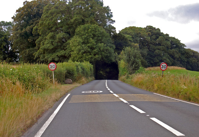
Chew Down
Downs, Moorland in Somerset Mendip
England
Chew Down
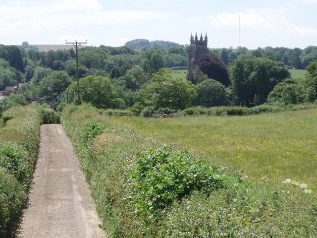
Chew Down, Somerset, commonly referred to as Chew Down Downs or Chew Down Moorland, is a picturesque area located in the county of Somerset, England. Spanning approximately 500 acres, it is a popular destination for nature lovers, hikers, and outdoor enthusiasts.
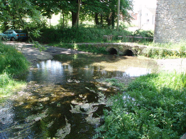
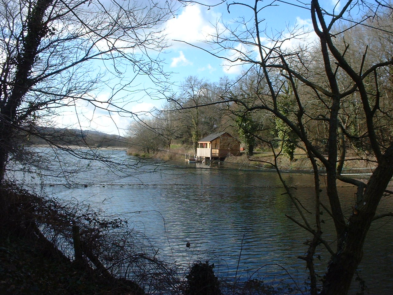
Nestled within the Mendip Hills, Chew Down boasts stunning rolling hills, expansive moorland, and breathtaking views of the surrounding countryside. The area is rich in biodiversity, with a diverse range of flora and fauna, making it a haven for wildlife.
Chew Down offers a variety of walking trails, ranging from easy strolls to more challenging hikes, catering to all levels of fitness and ability. The paths wind through open grasslands, heathlands, and woodlands, providing visitors with the opportunity to explore the diverse landscapes and discover hidden gems along the way.
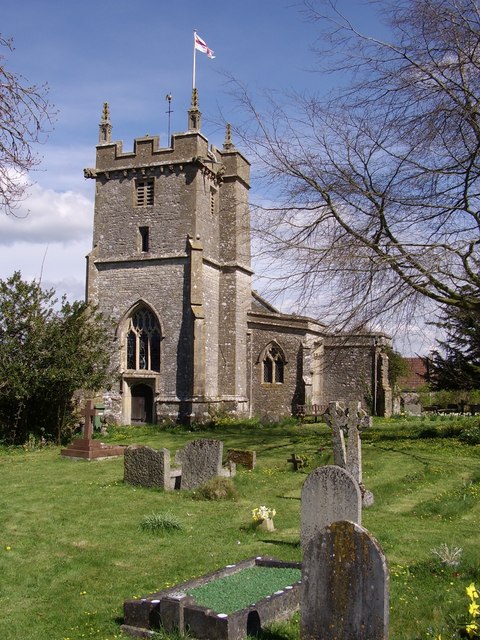
In addition to its natural beauty, Chew Down is also home to several archaeological sites, including ancient burial mounds and stone circles, adding a touch of historical significance to the area. These remnants of the past offer a glimpse into the region's rich cultural heritage.
The area is well-equipped to cater to visitors, with visitor centers providing information, maps, and facilities. Picnic areas are scattered throughout, allowing visitors to take a break and soak in the stunning surroundings while enjoying a meal.
Chew Down, Somerset, offers a tranquil and immersive experience, allowing visitors to connect with nature and revel in the beauty of the English countryside. Whether it's a leisurely stroll, a challenging hike, or simply a desire to escape the hustle and bustle of everyday life, Chew Down provides the perfect backdrop for relaxation and exploration.
If you have any feedback on the listing, please let us know in the comments section below.
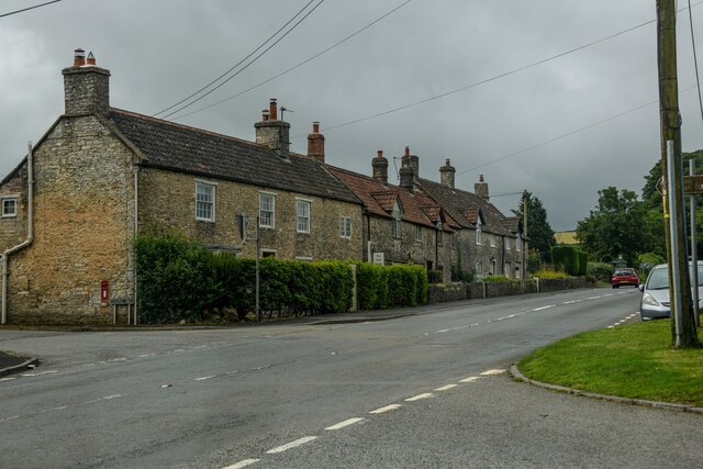
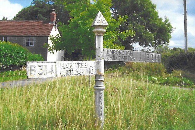
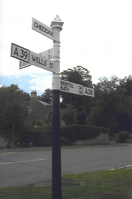
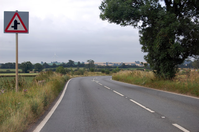
Chew Down Images
Images are sourced within 2km of 51.276123/-2.5665982 or Grid Reference ST6053. Thanks to Geograph Open Source API. All images are credited.


Chew Down is located at Grid Ref: ST6053 (Lat: 51.276123, Lng: -2.5665982)
Administrative County: Somerset
District: Mendip
Police Authority: Avon and Somerset
What 3 Words
///replaces.exam.lawfully. Near Chilcompton, Somerset
Nearby Locations
Related Wikis
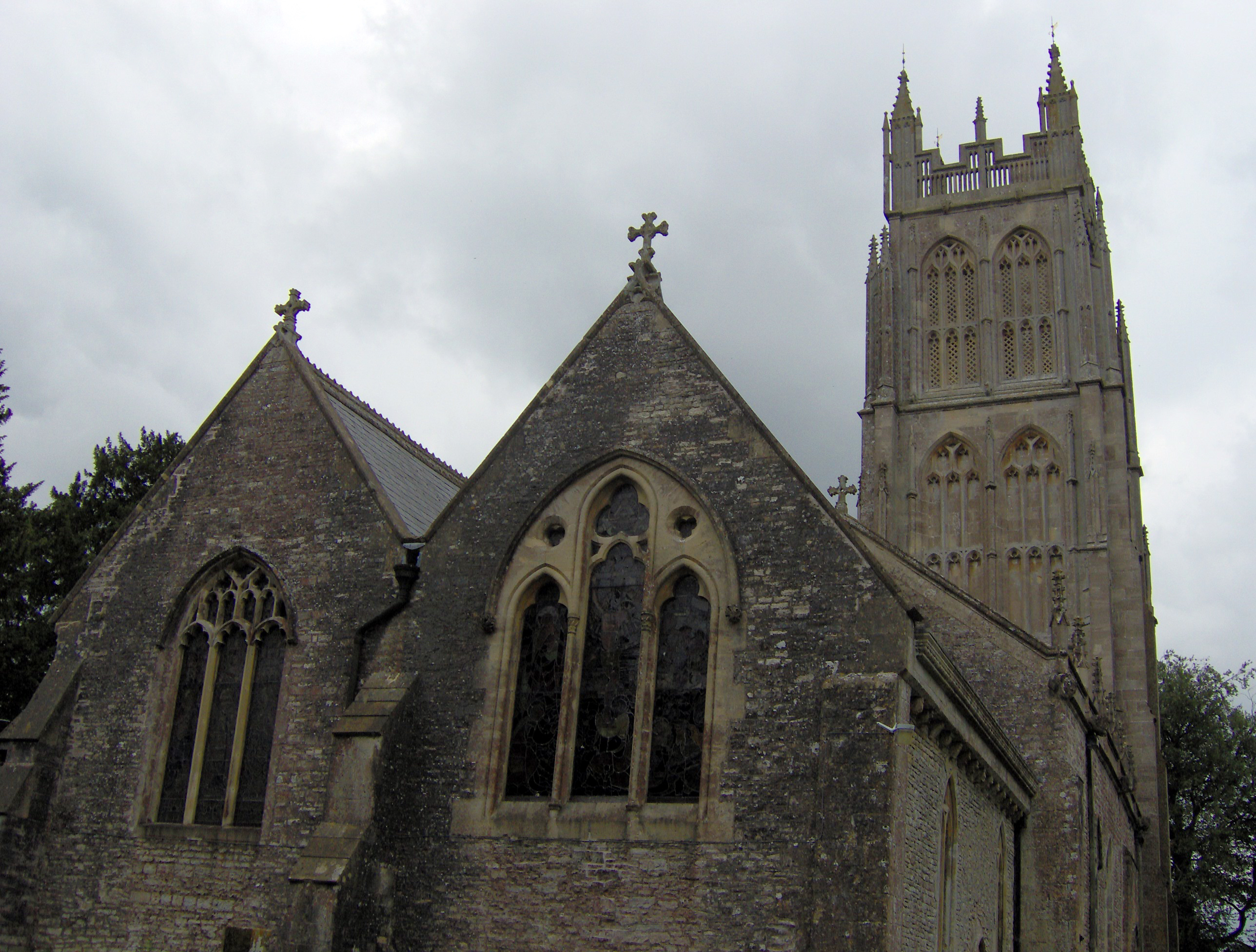
Chewton Mendip
Chewton Mendip is a village and civil parish in Somerset, England. It is situated 4 miles (6 km) north of Wells, 16 miles (26 km) south of Bath and Bristol...
Ston Easton
Ston Easton is a linear village and civil parish in the English county of Somerset. It is 14 miles (23 km) southwest of Bath and 7 miles (11 km) north...
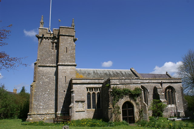
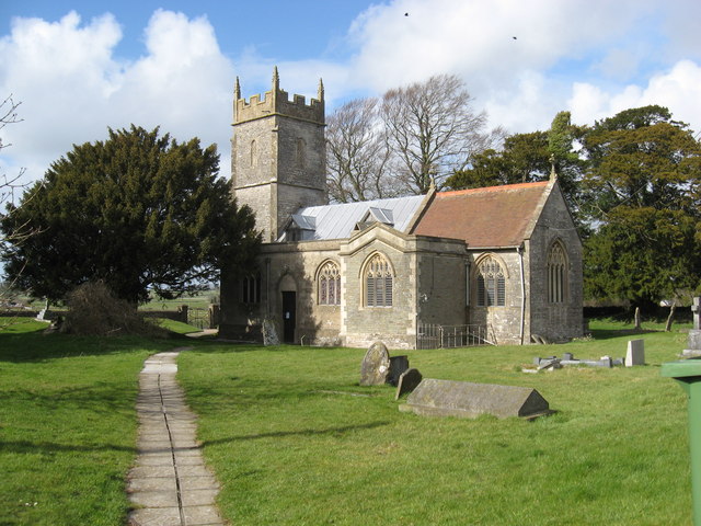
Church of St Mary the Virgin, Ston Easton
The Anglican Church of St Mary the Virgin in Ston Easton, Somerset, England, is a Grade II* listed building dating from the 11th century, with a 15th-century...
Litton, Somerset
Litton (grid reference ST593546) is a small village and civil parish between Chewton Mendip and West Harptree in the Mendip Hills, Somerset, England. The...
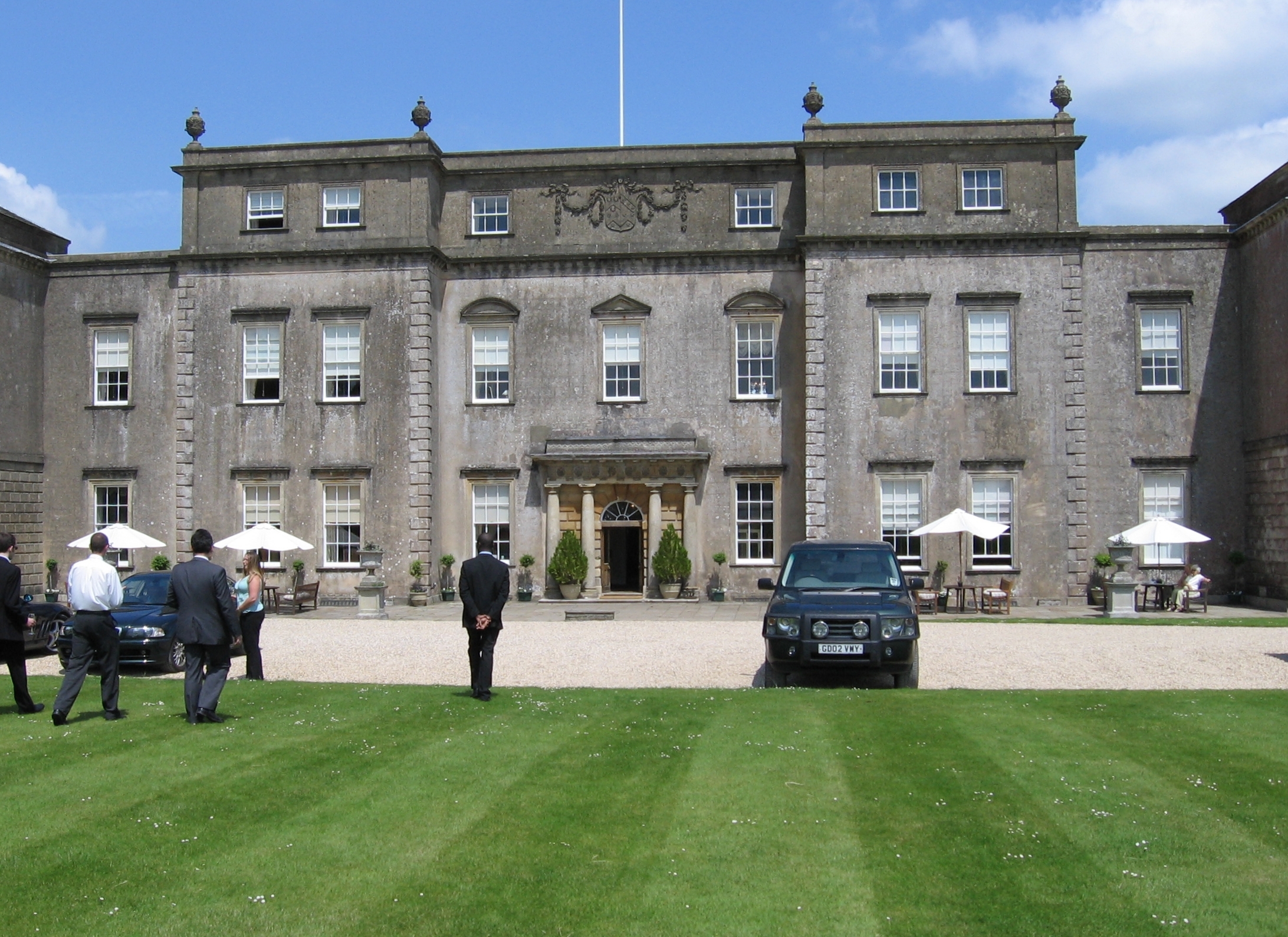
Ston Easton Park
Ston Easton Park is an English country house built in the 18th century. It lies near the village of Ston Easton, Somerset. It is a Grade I listed building...

Emborough
Emborough is a village and civil parish 5 miles (8.0 km) north of Shepton Mallet, and 5 miles (8.0 km) north east of Wells, in the Mendip district of Somerset...
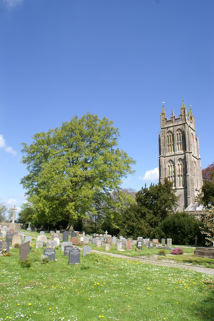
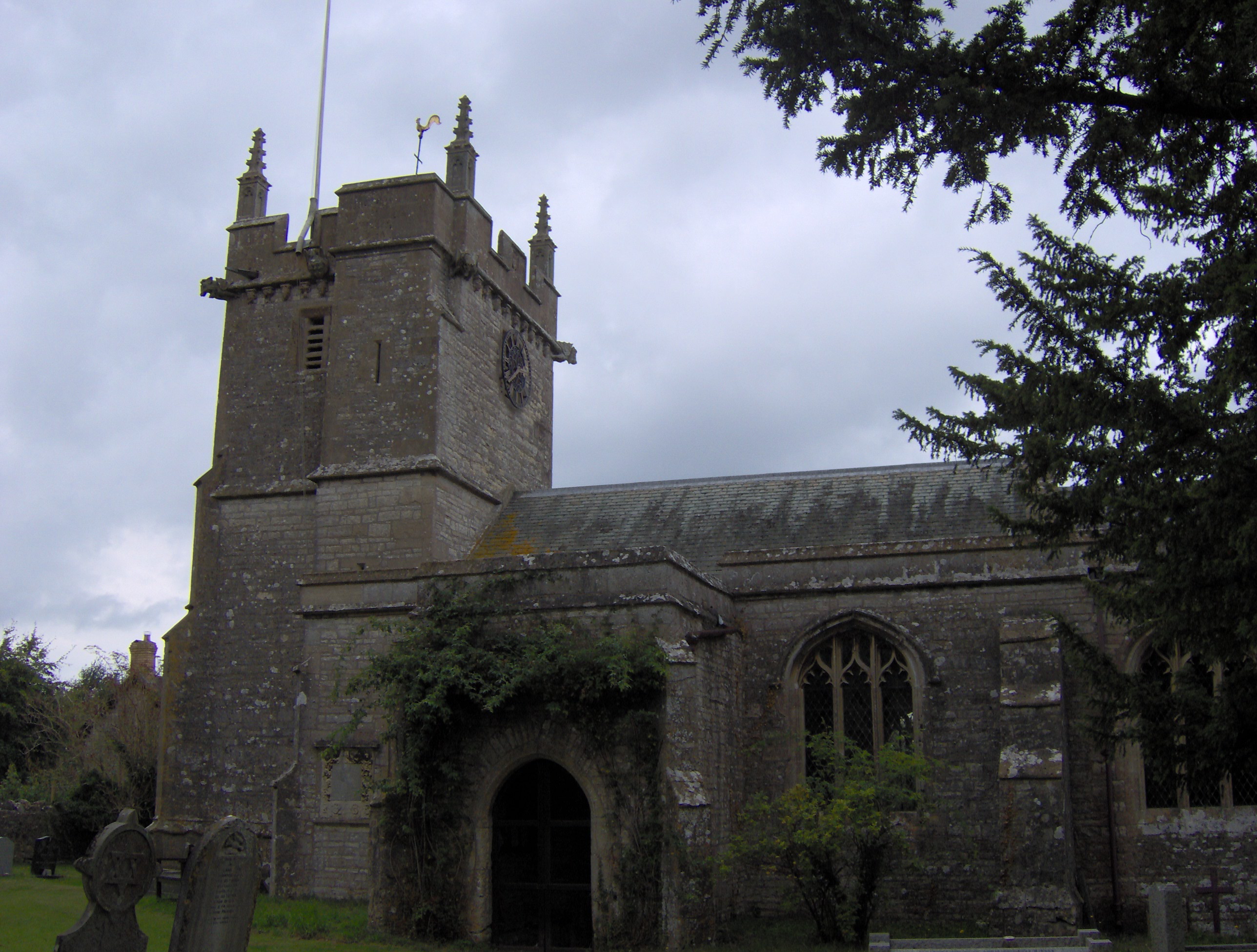
Church of the Blessed Virgin Mary, Emborough
The Church of the Blessed Virgin Mary in Emborough, Somerset, England is medieval in origin but underwent extensive renovation in the 18th century. It...
Litton Reservoirs
Litton Reservoirs (also known as Coley Reservoirs) (grid reference ST590553) are two reservoirs near the village of Litton, Somerset, England. They are...
Nearby Amenities
Located within 500m of 51.276123,-2.5665982Have you been to Chew Down?
Leave your review of Chew Down below (or comments, questions and feedback).