New Park
Downs, Moorland in Westmorland South Lakeland
England
New Park
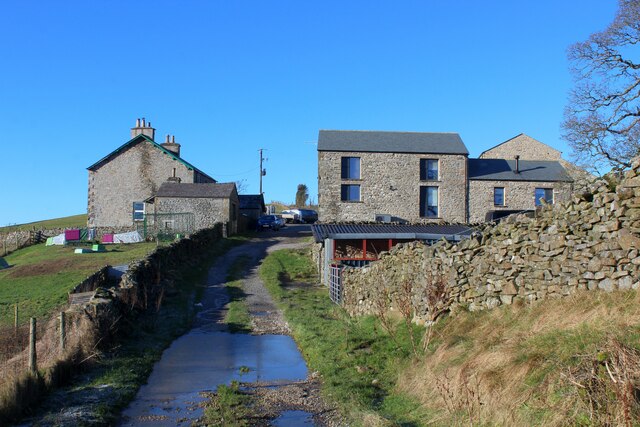
New Park, Westmorland, also known as Downs or Moorland, is a picturesque area located in the county of Westmorland, England. Situated in the northwestern part of the country, the region is renowned for its stunning landscapes, rolling hills, and vast open spaces.
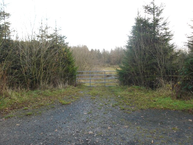
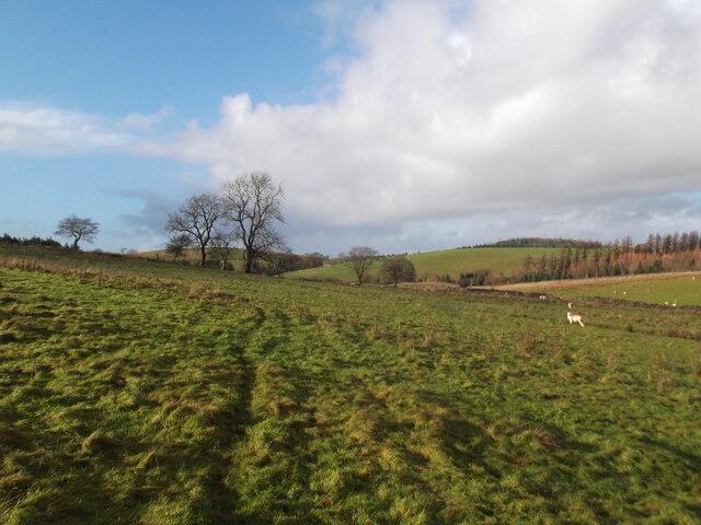
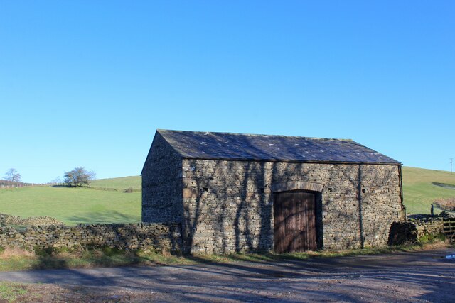
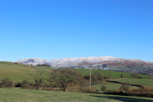
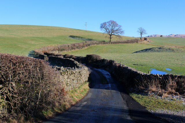
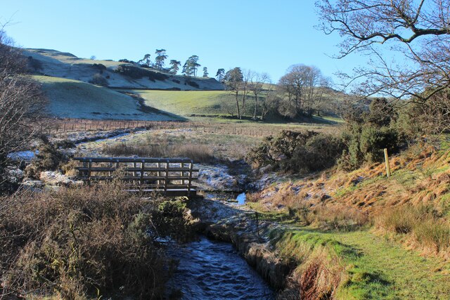
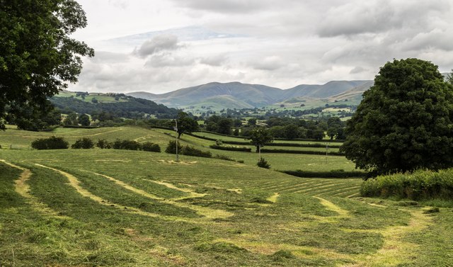
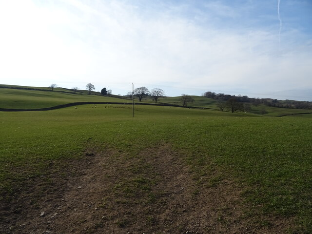
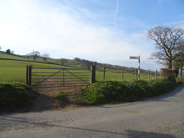
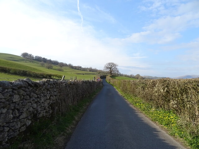
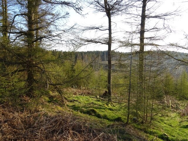
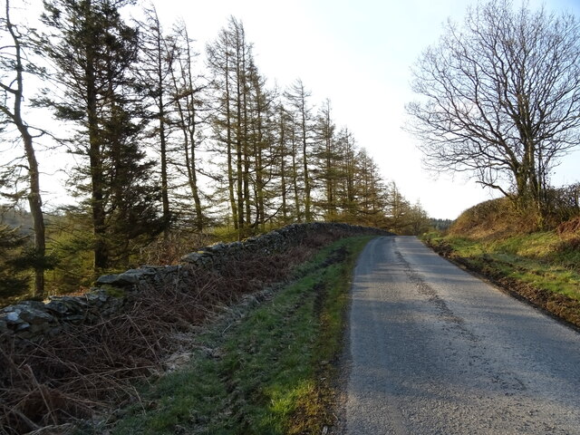
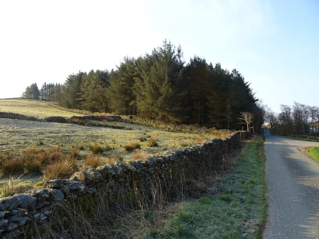
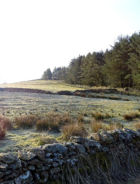
Covering an extensive area of moorland and downs, New Park offers visitors a unique opportunity to escape the hustle and bustle of city life and immerse themselves in the tranquility of nature. The landscape is characterized by its undulating hills, heather-covered moors, and scattered woodland areas, creating a diverse and visually captivating environment.
The park is home to a diverse range of flora and fauna, including various species of birds, mammals, and plant life. The open expanses of grassland provide habitats for numerous bird species, making it a popular destination for birdwatchers.
With its numerous walking trails and paths, New Park is a haven for outdoor enthusiasts and hikers. The rolling hills and stunning vistas offer breathtaking views, making it an ideal location for those seeking to connect with nature and enjoy the great outdoors.
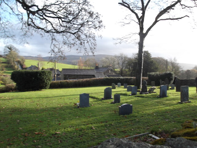
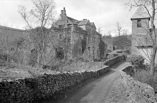
In addition to its natural beauty, New Park also boasts historical significance. The area is dotted with ancient landmarks, including burial mounds and standing stones, providing a glimpse into the region's rich history and heritage.
Overall, New Park, Westmorland, is a captivating destination that offers visitors a unique combination of natural beauty, wildlife, and historical significance. Whether exploring the open moorland or simply taking in the breathtaking scenery, visitors are sure to be enthralled by the enchanting charm of this remarkable area.
If you have any feedback on the listing, please let us know in the comments section below.
New Park Images
Images are sourced within 2km of 54.307463/-2.6106584 or Grid Reference SD6090. Thanks to Geograph Open Source API. All images are credited.
New Park is located at Grid Ref: SD6090 (Lat: 54.307463, Lng: -2.6106584)
Administrative County: Cumbria
District: South Lakeland
Police Authority: Cumbria
What 3 Words
///successes.pass.downcast. Near Sedbergh, Cumbria
Nearby Locations
Related Wikis

Killington Lake Services
Killington Lake Services is a motorway service station on the M6 motorway between Junctions 37 and 36 near Killington Lake in Cumbria, England. It was...

Killington, Cumbria
Killington is a village and civil parish in the South Lakeland district of the county of Cumbria, England. It had a population of 152 in 2001, At the...

River Rawthey
The River Rawthey is a river in Cumbria in northwest England. The headwaters of the Rawthey are at Rawthey Gill Foot, where Rawthey Gill meets Haskhaw...

Beckside
Beckside is a village in Cumbria, England.
Middleton-on-Lune railway station
Middleton-on-Lune railway station was located in Westmorland, England, (now in Cumbria), serving the hamlet and rural locale of Middleton on the Ingleton...
Firbank Fell
Firbank Fell is a hill in Cumbria between the towns of Kendal and Sedbergh that is renowned as a place where George Fox, the founder of the Religious Society...

St Gregory's Church, Vale of Lune
St Gregory's Church, Vale of Lune, also known as the Vale of Lune Chapel, is a redundant Anglican church situated on the A684 road about 1.5 miles (2 km...

Brunthwaite
Brunthwaite is a hamlet in Cumbria, England. Medieval pottery has been unearthed in the area. == References ==
Nearby Amenities
Located within 500m of 54.307463,-2.6106584Have you been to New Park?
Leave your review of New Park below (or comments, questions and feedback).