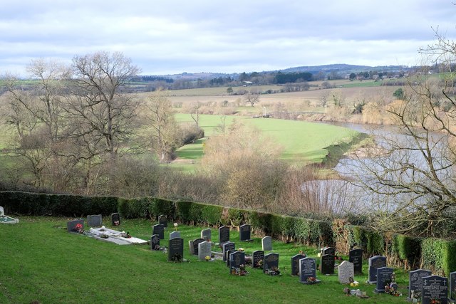
Backney Common
Downs, Moorland in Herefordshire
England
Backney Common
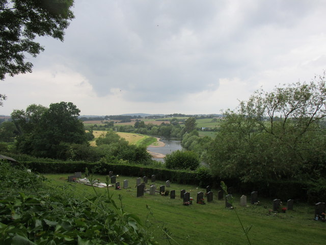
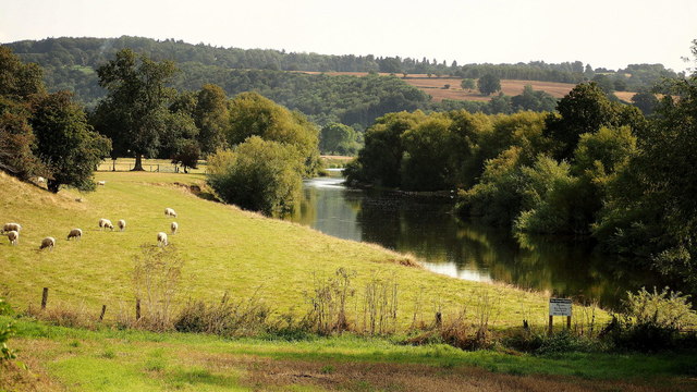
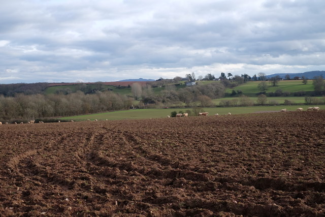
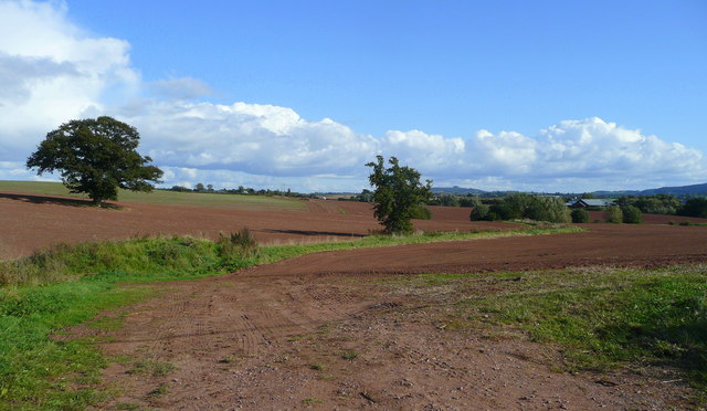
Backney Common is a picturesque area located in Herefordshire, England. Covering a vast expanse of downs and moorland, this natural haven offers visitors a unique and diverse landscape to explore.
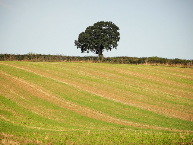
The common is characterized by rolling hills and open grasslands, providing breathtaking panoramic views of the surrounding countryside. Its varied terrain is dotted with heather, gorse, and bracken, creating a colorful tapestry that changes with the seasons. The area is also home to several small streams and ponds, enhancing the overall charm and tranquility of the common.
Backney Common boasts a rich biodiversity, playing host to a wide range of flora and fauna. It is a haven for birdwatchers, as numerous species of birds can be spotted here, including skylarks, yellowhammers, and kestrels. The common also supports a variety of mammals, such as rabbits, foxes, and badgers, which can often be seen going about their daily activities.
For outdoor enthusiasts, Backney Common offers ample opportunities for walking, hiking, and picnicking. There are several well-marked footpaths and trails that crisscross the area, allowing visitors to explore its hidden gems. The common is particularly popular during the spring and summer months, when the wildflowers are in full bloom and the landscape is at its most vibrant.
In summary, Backney Common is a stunning natural landscape in Herefordshire, offering a mix of downs and moorland. With its sweeping vistas, diverse wildlife, and recreational opportunities, this area is a true gem for nature lovers and those seeking a peaceful retreat in the heart of the English countryside.
If you have any feedback on the listing, please let us know in the comments section below.
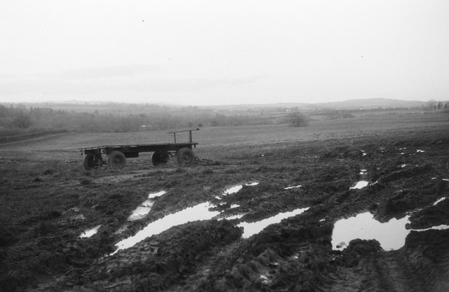
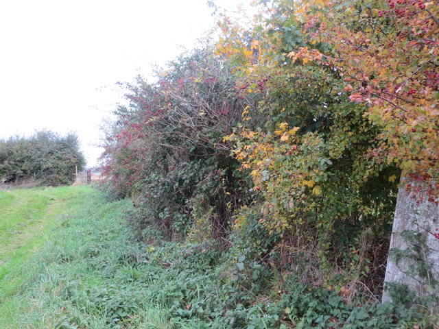
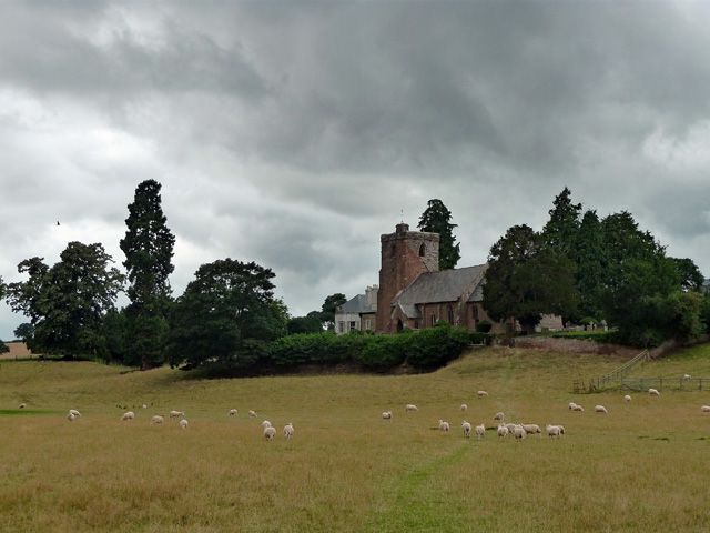
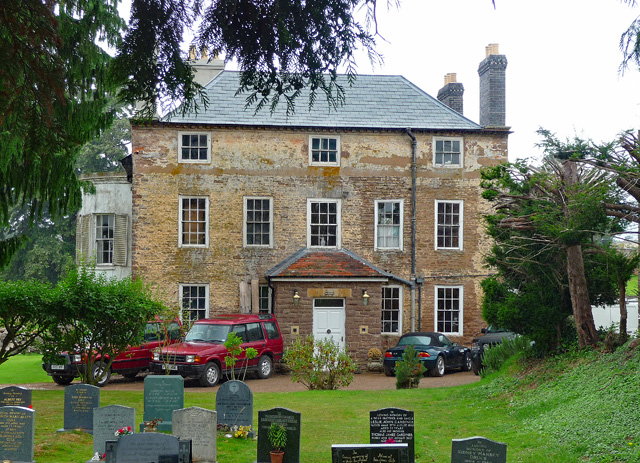
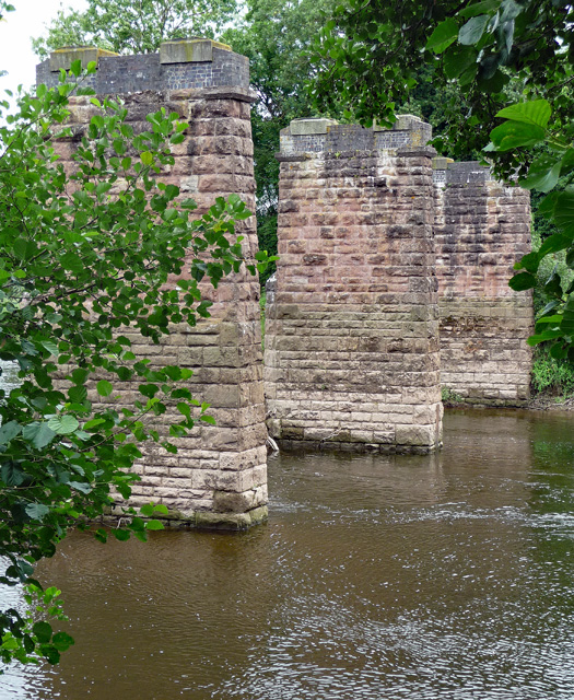
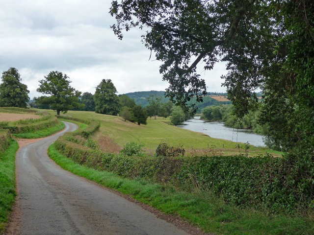
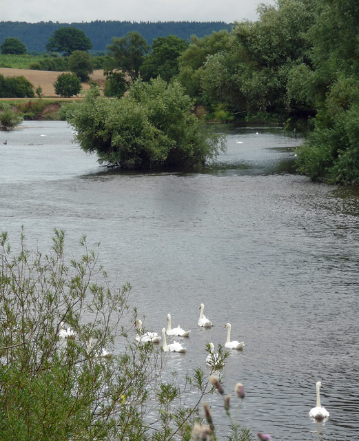
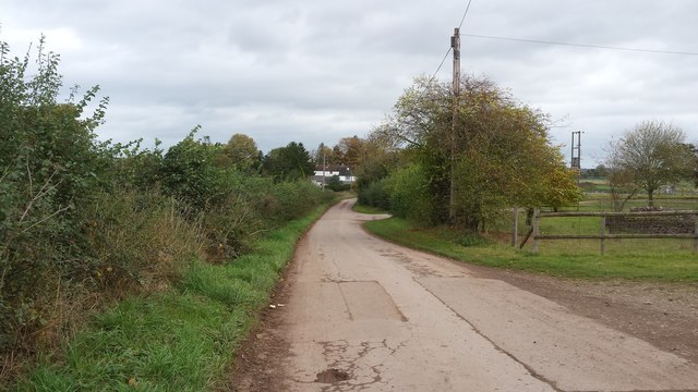
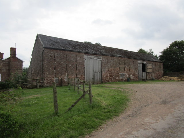
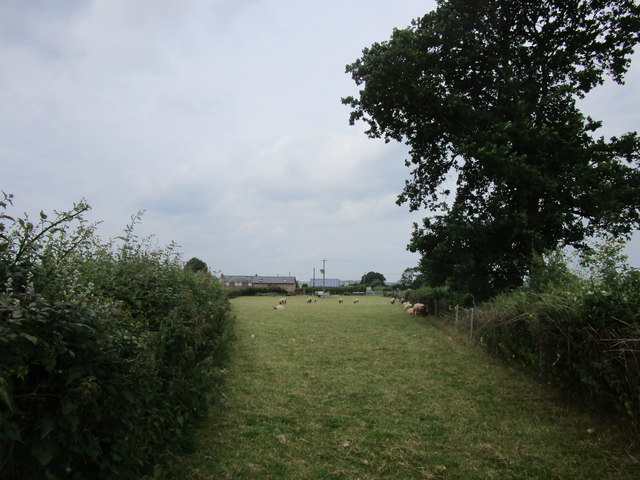
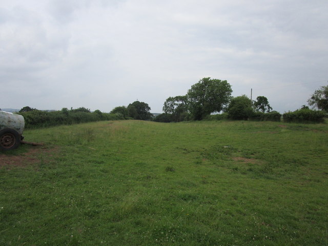
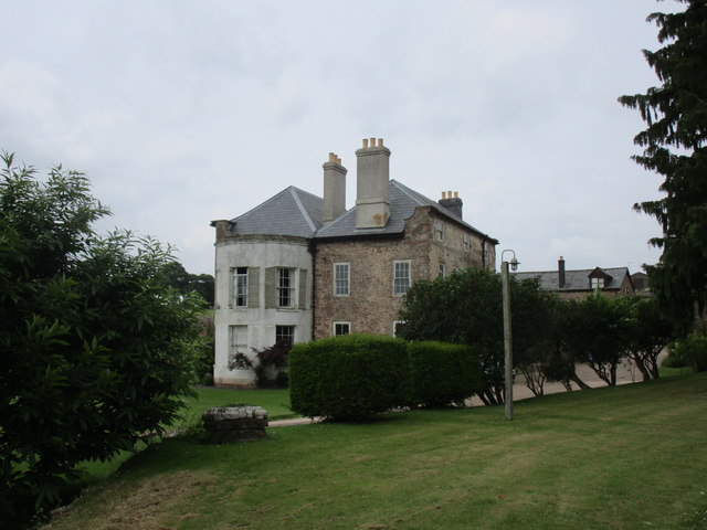
Backney Common Images
Images are sourced within 2km of 51.940001/-2.6031334 or Grid Reference SO5827. Thanks to Geograph Open Source API. All images are credited.
Backney Common is located at Grid Ref: SO5827 (Lat: 51.940001, Lng: -2.6031334)
Unitary Authority: County of Herefordshire
Police Authority: West Mercia
What 3 Words
///absorbing.tentacles.panoramic. Near Sellack, Herefordshire
Nearby Locations
Related Wikis
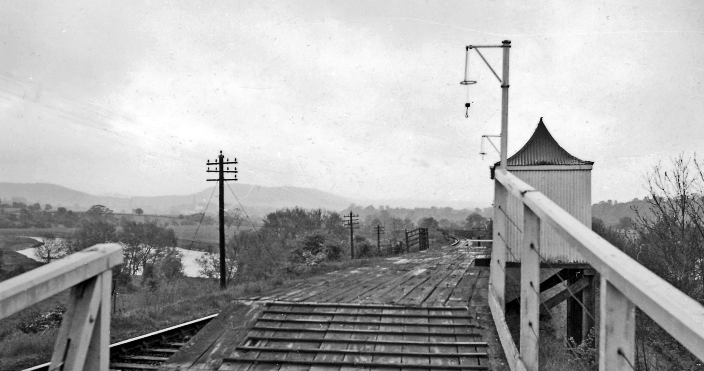
Backney Halt railway station
Backney Halt railway station was a request stop in the English county of Herefordshire. It was located on the Great Western Railway line linking Ross-on...
Brampton Abbotts
Brampton Abbotts is a village and civil parish in Herefordshire, England. It is located 2 km north of Ross-on-Wye and 16 km south east of Hereford. The...

Sellack
Sellack is a village and rural parish in the English county of Herefordshire. It is on the River Wye three and a half miles northwest by north of Ross...
Foy, Herefordshire
Foy is a hamlet and civil parish in Herefordshire, England. By road, it is 7 kilometres (4 miles) north of Ross-on-Wye, 23 kilometres (14 miles) south...
Nearby Amenities
Located within 500m of 51.940001,-2.6031334Have you been to Backney Common?
Leave your review of Backney Common below (or comments, questions and feedback).