Pilton Park
Downs, Moorland in Somerset Mendip
England
Pilton Park

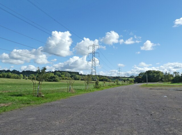
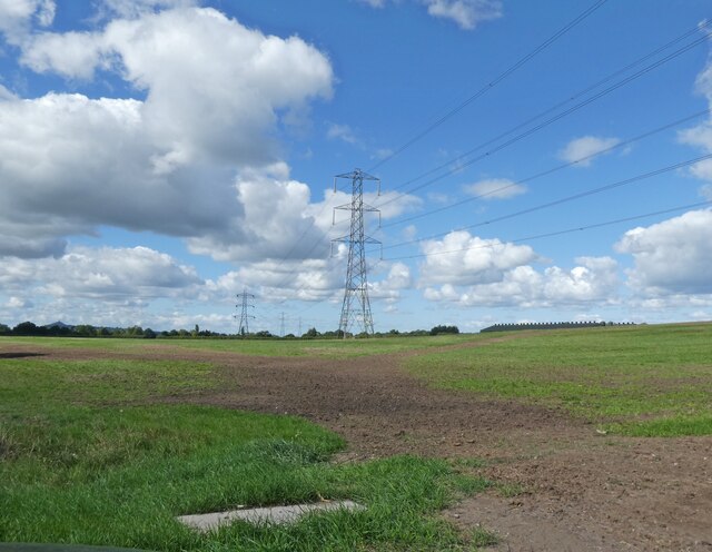
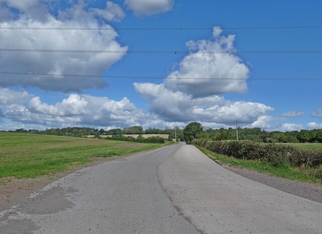
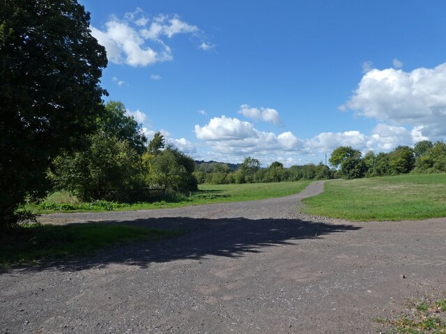
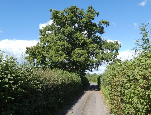
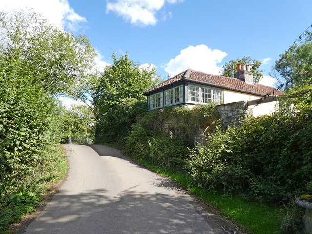
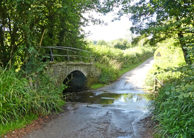
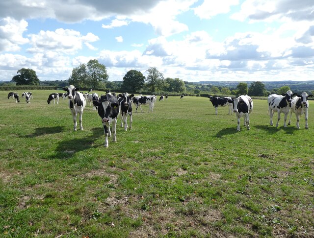
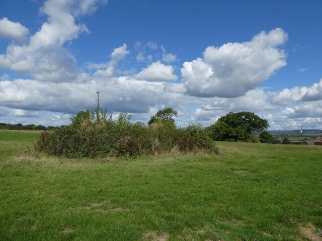
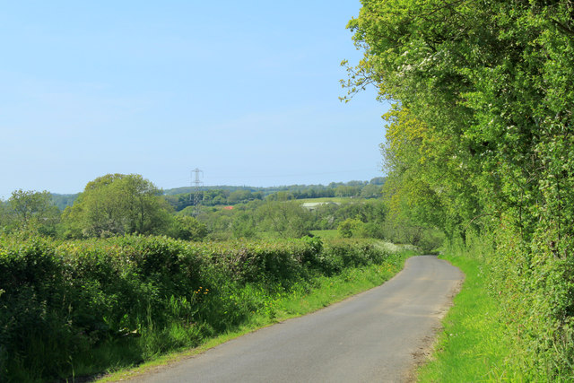
Pilton Park is a picturesque green space located in the village of Pilton, Somerset, England. Nestled amidst the rolling hills of the Somerset Downs and bordered by stunning moorland, this park offers a tranquil retreat for both locals and visitors alike.
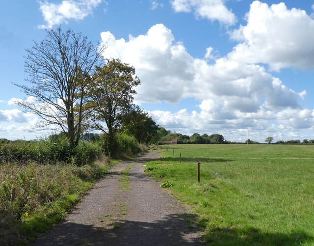
Covering an area of approximately 20 acres, Pilton Park boasts a diverse landscape that showcases the natural beauty of the region. Lush green fields are interspersed with groves of majestic trees, providing ample shade and a sense of serenity. The park is home to a variety of plant species, including vibrant wildflowers that bloom throughout the year, adding bursts of color to the scenery.
The park is well-equipped with several amenities and recreational facilities to cater to the needs of all visitors. There are well-maintained walking paths that wind their way through the park, offering peaceful strolls and opportunities for outdoor exercise. Additionally, children can enjoy the well-equipped playground, complete with swings, slides, and climbing frames.
For those seeking a moment of tranquility, there are numerous benches and picnic areas scattered throughout the park, providing the perfect spot to relax and enjoy the idyllic surroundings. The park also hosts several community events and festivals throughout the year, bringing the local community together and adding to the park's vibrant atmosphere.
Pilton Park, with its stunning natural beauty and well-maintained facilities, is a true gem in the heart of Somerset. Whether for a leisurely walk, a family picnic, or simply to admire the breathtaking views, this park offers a delightful escape from the hustle and bustle of everyday life.
If you have any feedback on the listing, please let us know in the comments section below.
Pilton Park Images
Images are sourced within 2km of 51.151374/-2.5943497 or Grid Reference ST5839. Thanks to Geograph Open Source API. All images are credited.


Pilton Park is located at Grid Ref: ST5839 (Lat: 51.151374, Lng: -2.5943497)
Administrative County: Somerset
District: Mendip
Police Authority: Avon and Somerset
What 3 Words
///duties.liners.landings. Near Shepton Mallet, Somerset
Nearby Locations
Related Wikis

Glastonbury Festival
Glastonbury Festival (formally Glastonbury Festival of Contemporary Performing Arts and known colloquially as Glasto) is a five-day festival of contemporary...
Worthy FM
Worthy FM is the onsite radio station of The Glastonbury Festival. It broadcasts on 87.7 MHz FM and online for one week only during the Festival, operating...
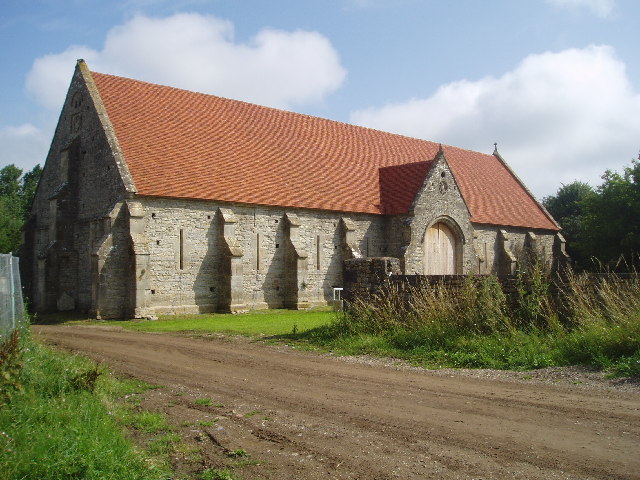
Tithe Barn, Pilton
The Tithe Barn at Cumhill Farm in Pilton, Somerset, England, was built in the 14th century as a tithe barn to hold produce for Glastonbury Abbey. It is...
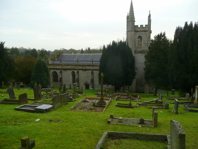
Pilton, Somerset
Pilton is a village and civil parish in Somerset, England, situated on the A361 road in the Mendip district, 3 miles (5 km) south-west of Shepton Mallet...

West Pennard railway station
West Pennard railway station was a station on the Highbridge branch of the Somerset and Dorset Joint Railway. Opened on 3 February 1862, it was reduced...

East Pennard
East Pennard is a village and civil parish 4 miles (6.4 km) north west of Castle Cary, and 5 miles (8.0 km) south of Shepton Mallet, in the Mendip district...
Pylle
Pylle is a village and civil parish 4 miles (6.4 km) south west of Shepton Mallet, and 7 miles (11.3 km) from Wells, in the Mendip district of Somerset...
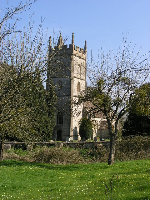
Church of St Thomas à Becket, Pylle
The Anglican Church of St Thomas à Becket in Pylle, Somerset, England, was built in the 15th century. It is a Grade II* listed building. == History... ==
Nearby Amenities
Located within 500m of 51.151374,-2.5943497Have you been to Pilton Park?
Leave your review of Pilton Park below (or comments, questions and feedback).