Isle Plantation

Downs, Moorland in Westmorland Eden

England

Isle Plantation

Force Beck Small stream close to Shap Summit,
Force Beck Credit: Colin Kinnear

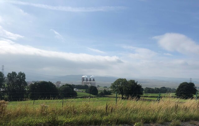
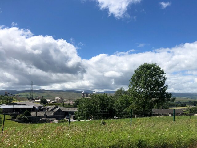
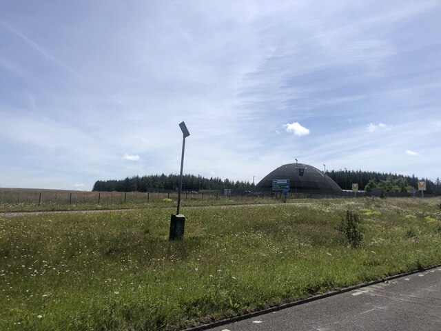
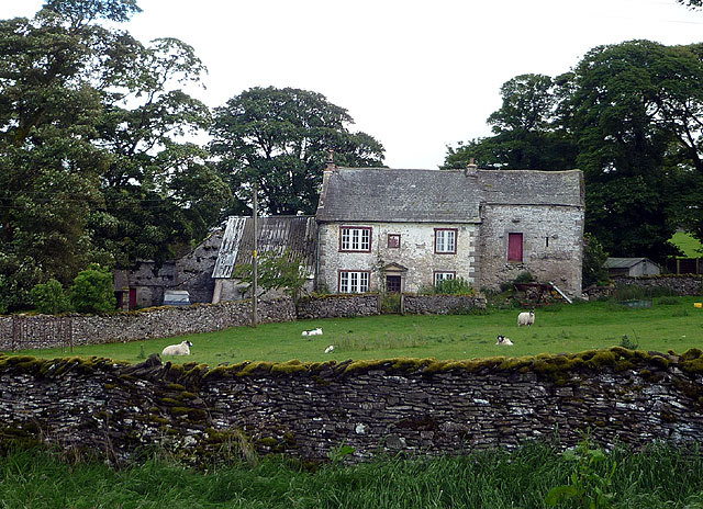
Isle Plantation is a picturesque rural area located in Westmorland, a county in the northwest region of England. Nestled amidst the stunning Downs and Moorland landscapes, Isle Plantation offers a serene and idyllic setting for those seeking a peaceful retreat.

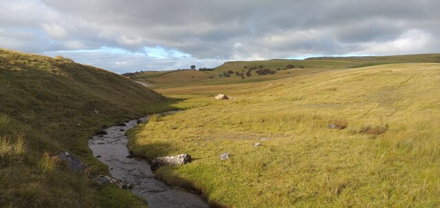
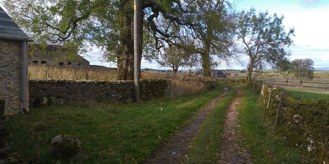
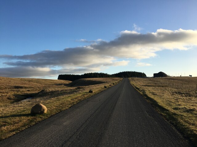
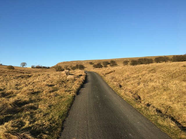
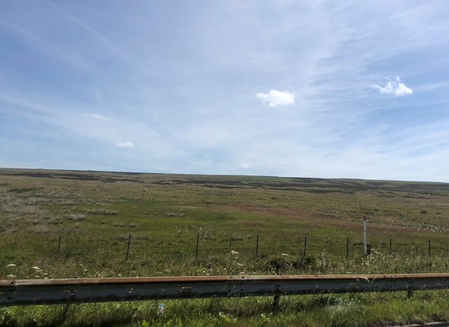
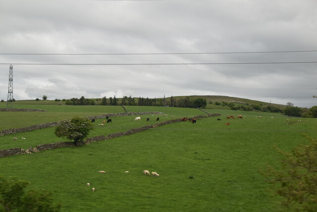
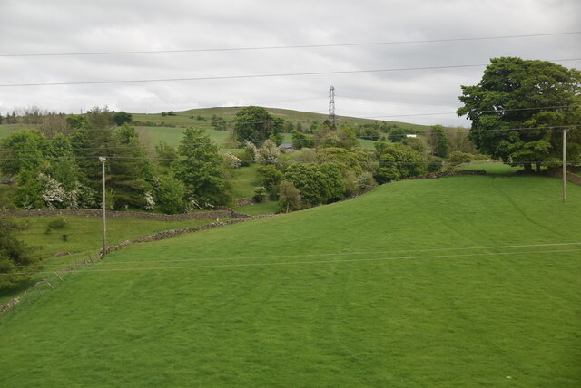
The plantation is characterized by its lush green fields, rolling hills, and expansive woodlands, making it a haven for nature enthusiasts and outdoor adventurers. The area is abundant in diverse flora and fauna, with numerous walking trails and nature reserves to explore. Birdwatchers will delight in the variety of avian species that call the plantation home.

In addition to its natural beauty, Isle Plantation also boasts a rich history. The area is dotted with ancient archaeological sites, including burial mounds and stone circles, providing a glimpse into the region's past. History buffs can immerse themselves in the captivating stories and legends associated with the plantation.

Despite its rural setting, Isle Plantation is conveniently located close to several charming villages and towns, where visitors can find amenities such as shops, restaurants, and accommodations. The nearby market town of Westmorland offers a range of cultural attractions, including museums and heritage sites, providing visitors with a taste of the region's history and traditions.

Overall, Isle Plantation in Westmorland is a hidden gem, offering a harmonious blend of natural beauty, historical significance, and tranquility. Whether you are seeking outdoor adventures, a peaceful escape, or a glimpse into the region's past, Isle Plantation is sure to captivate and inspire.

If you have any feedback on the listing, please let us know in the comments section below.

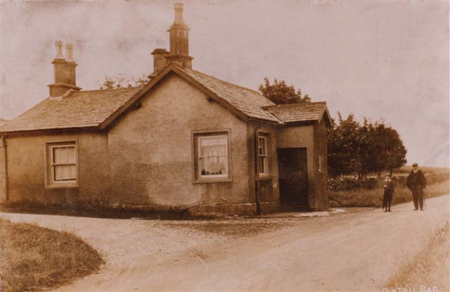
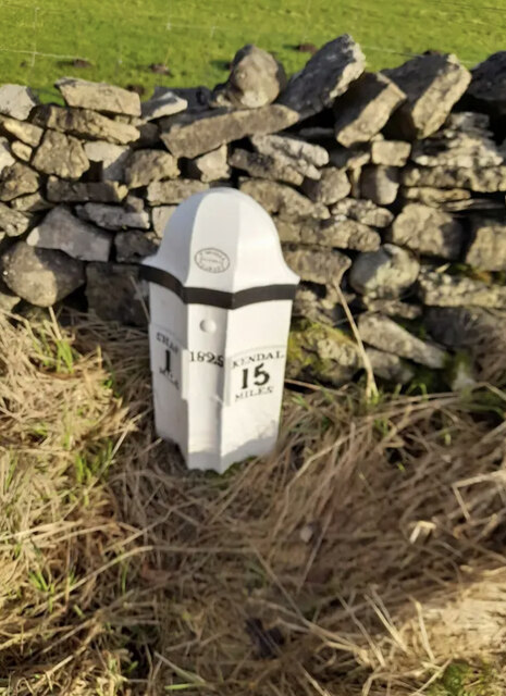
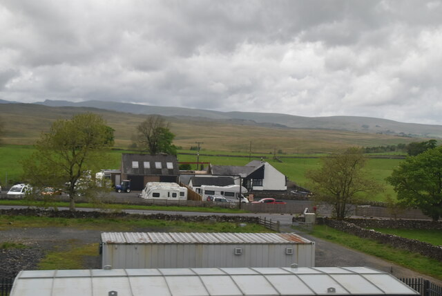
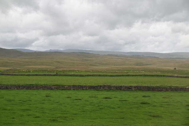
Isle Plantation Images

Images are sourced within 2km of 54.511821/-2.6422472 or Grid Reference NY5813. Thanks to Geograph Open Source API. All images are credited.

Force Beck Small stream close to Shap Summit,
Force Beck
Small stream close to Shap Summit,
Track from Nook Farm Rough tractor track from Nook Farm.
Track from Nook Farm
Rough tractor track from Nook Farm.
Minor road near Hardendale
Tata Steelworks Lime kilns at Tata Steel's Hardendale lime works
Tata Steelworks
Lime kilns at Tata Steel's Hardendale lime works
Waters Farm, near Shap Hardendale Quarry behind it.
Waters Farm, near Shap
Hardendale Quarry behind it.
Highways England Hardendale Depot At one of the most exposed Highways England operational depots, the dome holds 4,500 tonnes of salt
Highways England Hardendale Depot
At one of the most exposed Highways England operational depots, the dome holds 4,500 tonnes of salt
Shap summit
Shap summit
Lost Toll House, A6 Shap At 916ft ASL this must be about the Shap Summit, SW of the Trig Point  (1075ft ASL). 
The Toll House served the Heronsyke & Eamont Bridge Turnpike Trust in the 19ᵗʰ C, being built in 1819.
More archive data at <span class="nowrap"><a title="https://www.lakesguides.co.uk/html/lgaz/LK21290.htm" rel="nofollow ugc noopener" href="https://www.lakesguides.co.uk/html/lgaz/LK21290.htm">Link</a><img style="margin-left:2px;" alt="External link" title="External link - shift click to open in new window" src="https://s1.geograph.org.uk/img/external.png" width="10" height="10"/></span>

Milestone Society National ID: CB.SHAP
Lost Toll House, A6 Shap
At 916ft ASL this must be about the Shap Summit, SW of the Trig Point (1075ft ASL). The Toll House served the Heronsyke & Eamont Bridge Turnpike Trust in the 19ᵗʰ C, being built in 1819. More archive data at LinkExternal link Milestone Society National ID: CB.SHAP
Milepost, Shap Summit A6 east side, 300m north of Sleddale turn next to bench seat on verge against wall Restored and relocated from west side of A6 

Shap 1 / 1825 /Kendal 15

Milestone Society National ID: WE_KDSP15
Milepost, Shap Summit
A6 east side, 300m north of Sleddale turn next to bench seat on verge against wall Restored and relocated from west side of A6 Shap 1 / 1825 /Kendal 15 Milestone Society National ID: WE_KDSP15
Lea Field
Lea Field
South of Shap
South of Shap
Mixed grazing
Mixed grazing
Force Beck valley
Force Beck valley
View to Shapbeck Quarry
Electrical sub-station
Shap 1, Kendal 15 milestone on east side of A6
Show me another place!

Isle Plantation is located at Grid Ref: NY5813 (Lat: 54.511821, Lng: -2.6422472)

Administrative County: Cumbria

District: Eden

Police Authority: Cumbria

What 3 Words

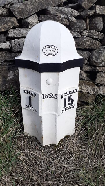
///printing.tadpole.aspect. Near Shap, Cumbria

Related Wikis

Oddendale

Oddendale is a hamlet in Cumbria, England, near the large village of Shap. For transport there is the M6 motorway and the A6 road. == History == ��3�...

Hardendale

Hardendale is a hamlet in the parish of Shap Rural in the Eden District, in the county of Cumbria, England, near Shap and junction 39 of the M6 motorway...

Shap Stone Avenue

The Shap Stone Avenue (an unofficial name) is a megalithic complex near Shap in Cumbria, England, comprising stone circles, a two-mile avenue (actually...

Shap railway station

Shap railway station served the village of Shap, Westmorland (now in Cumbria), England for over 120 years. == Operations == The station was situated on...

Nearby Amenities

Located within 500m of 54.511821,-2.6422472
Power: pole
Lat/Long: 54.5160482/-2.6428704
Power: pole
Lat/Long: 54.5159604/-2.6415248
Power: pole
Lat/Long: 54.51595/-2.6417381
Barrier: stile
Lat/Long: 54.515945/-2.6416907
Barrier: cattle_grid
Lat/Long: 54.5158317/-2.6414063
Give Way
Direction: forward
Lat/Long: 54.5092596/-2.6484657
Give Way
Direction: forward
Lat/Long: 54.5093968/-2.6486254
Crossing
Crossing: uncontrolled
Crossing Markings: yes
Lat/Long: 54.5093935/-2.6486086
The data included in this document is from www.openstreetmap.org. The data is made available under ODbL.

Have you been to Isle Plantation?

Leave your review of Isle Plantation below (or comments, questions and feedback).