Caton Moor
Downs, Moorland in Lancashire Lancaster
England
Caton Moor

The requested URL returned error: 429 Too Many Requests
If you have any feedback on the listing, please let us know in the comments section below.
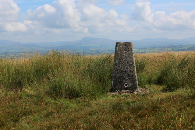
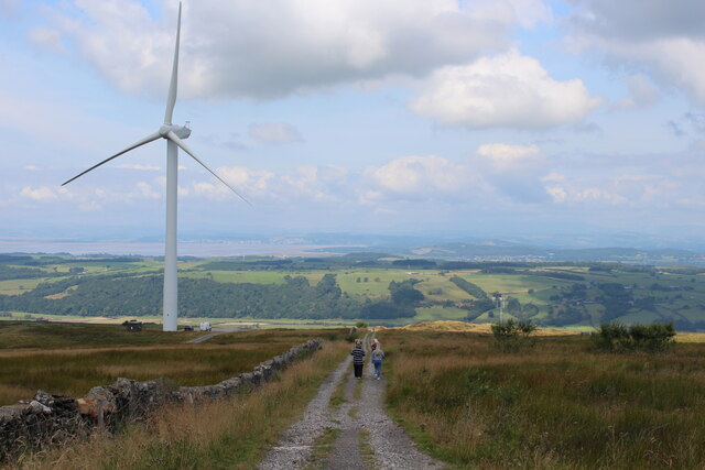
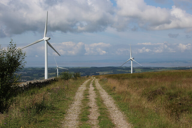
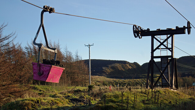
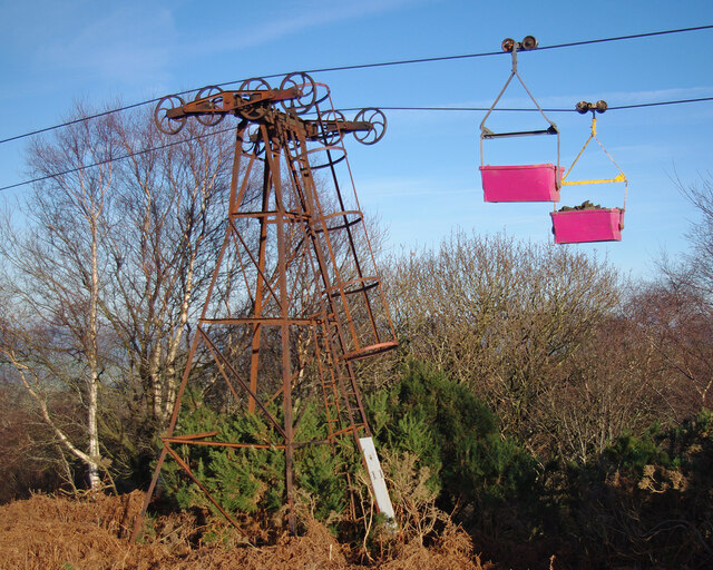
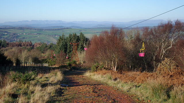
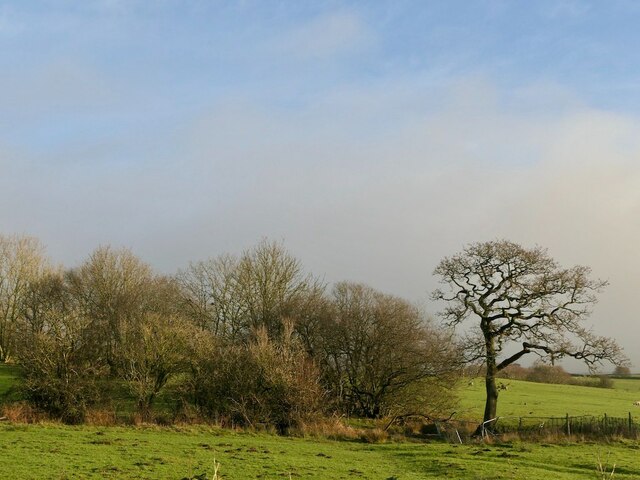
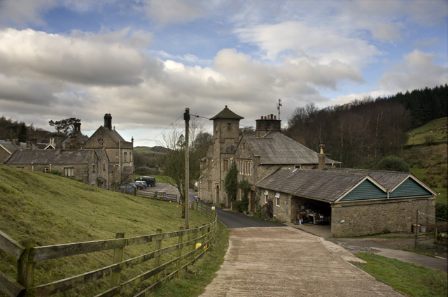
Caton Moor Images
Images are sourced within 2km of 54.067045/-2.6586025 or Grid Reference SD5663. Thanks to Geograph Open Source API. All images are credited.


Caton Moor is located at Grid Ref: SD5663 (Lat: 54.067045, Lng: -2.6586025)
Administrative County: Lancashire
District: Lancaster
Police Authority: Lancashire
What 3 Words
///weeds.sharper.period. Near Caton, Lancashire
Nearby Locations
Related Wikis
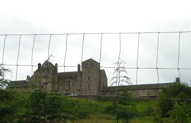
Littledale Hall
Littledale Hall is a former country house in the civil parish of Caton-with-Littledale in Lancashire, England, some 10 miles (16 km) east of Lancaster...
Claughton Hall
Claughton Hall (Claughton pronounced KLAF-tən) is a large country house in the English village of Claughton, Lancashire. A Grade I listed building, it...

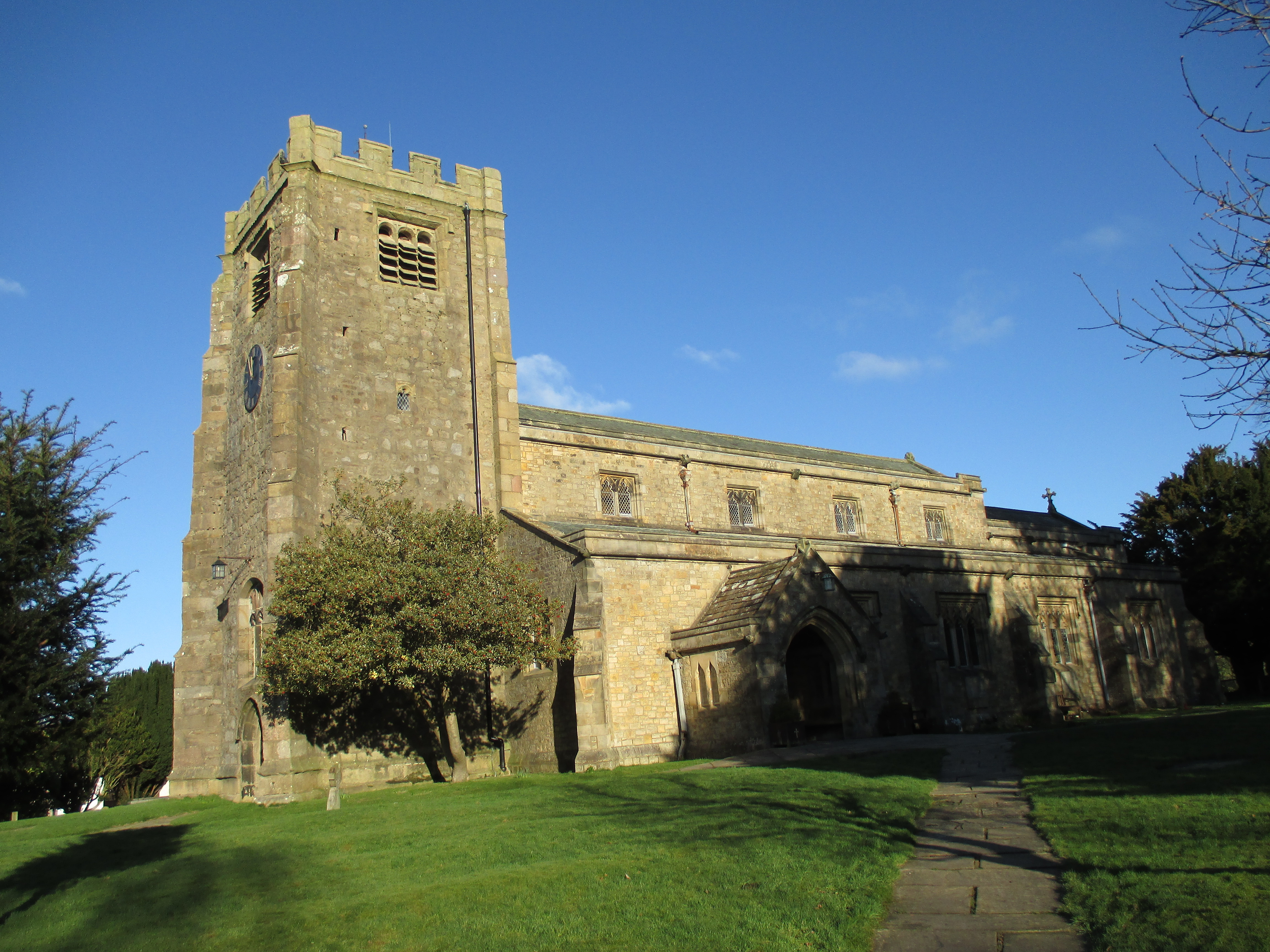
St Chad's Church, Claughton
St Chad's Church is in the village of Claughton, Lancashire, England. It is a redundant Anglican parish church, which is recorded in the National Heritage...
St Paul's Church, Brookhouse
St Paul's Church is in the village of Brookhouse, Caton-with-Littledale, Lancashire, England. It is an active Anglican parish church in the deanery of...
Nearby Amenities
Located within 500m of 54.067045,-2.6586025Have you been to Caton Moor?
Leave your review of Caton Moor below (or comments, questions and feedback).