Hamlet

Settlement in Devon East Devon

England

Hamlet

Service area and shop between Exeter Road and the A30 (T)
Service area and shop between Exeter Road and the A30 (T) Credit: Vieve Forward

Hamlet is a small village located in the county of Devon, England. Situated on the eastern bank of the River Tamar, it is nestled amidst picturesque countryside, offering stunning views and a tranquil atmosphere. Hamlet is part of the South Hams district, renowned for its natural beauty and rich history.

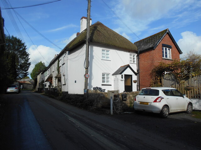
The village itself is characterized by its charming thatched-roof cottages, which date back several centuries, giving it a distinct old-world charm. Its narrow, winding streets are lined with vibrant flowers and lush greenery, creating a delightful ambiance for residents and visitors alike.

Hamlet is home to a close-knit community, known for its warm hospitality and friendly nature. The village boasts a range of amenities, including a local pub, a post office, and a village hall, which serves as a hub for social gatherings and events. The nearby market town of Totnes provides additional shopping and entertainment options.

For nature enthusiasts, Hamlet offers ample opportunities for outdoor activities. The surrounding countryside is dotted with walking and cycling trails, allowing visitors to explore the area's natural beauty. The River Tamar is also a popular spot for boating and fishing enthusiasts.

The village's proximity to Dartmoor National Park makes it an ideal base for those wishing to explore the rugged landscapes and ancient landmarks that the region has to offer. Additionally, Hamlet's convenient location provides easy access to nearby coastal towns and beaches, making it a popular destination for tourists seeking a mix of countryside and seaside experiences.

In conclusion, Hamlet, Devon, is a charming village that combines historic charm with natural beauty. Its idyllic setting, friendly community, and range of amenities make it an attractive destination for both locals and visitors.

If you have any feedback on the listing, please let us know in the comments section below.
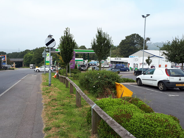
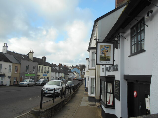
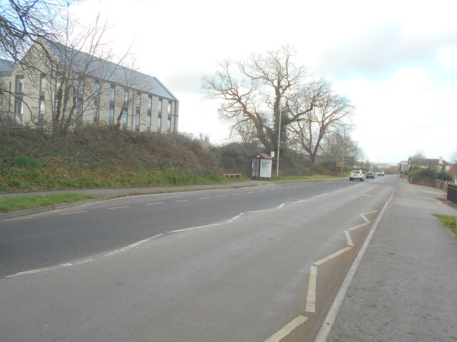
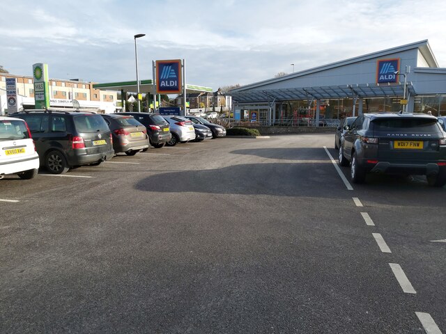
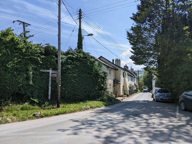
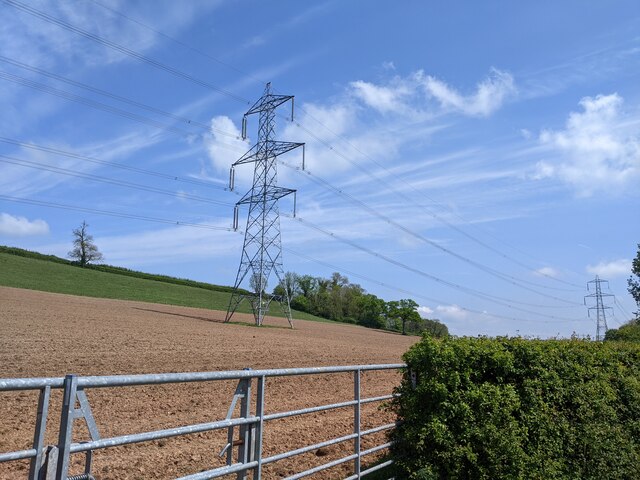
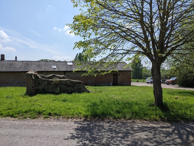
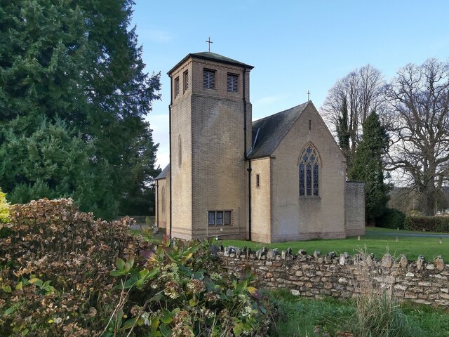
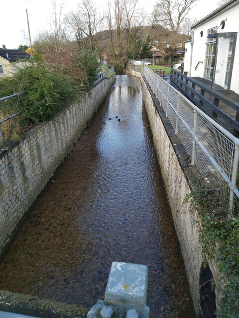
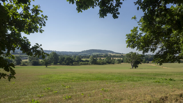
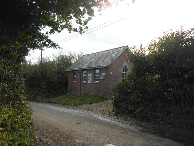
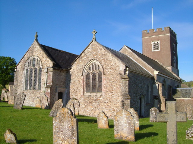
Hamlet Images

Images are sourced within 2km of 50.792418/-3.218014 or Grid Reference SY1499. Thanks to Geograph Open Source API. All images are credited.

Service area and shop between Exeter Road and the A30 (T)
Smith's cottages Viewed through an archway on Honiton High Street.
The building to the left was once an antiques centre.
Over the years there has been a steady decline in antique shops on the High Street.
Smith's cottages
Viewed through an archway on Honiton High Street. The building to the left was once an antiques centre. Over the years there has been a steady decline in antique shops on the High Street.
Looking West along Honiton High street Late February .
The Volunteer public house can be seen to the right.
Looking West along Honiton High street
Late February . The Volunteer public house can be seen to the right.
Looking West, bus stop on the Exeter Road
Honiton : Sign A sign in East Devon District Council HQ's car park calling on them to house a man who has pitched up in a caravan.
Honiton : Sign
A sign in East Devon District Council HQ's car park calling on them to house a man who has pitched up in a caravan.
Supermarket Car Park A view of the Aldi supermarket shop front as seen from the car park in the Heathpark area of Honiton in Devon.
Supermarket Car Park
A view of the Aldi supermarket shop front as seen from the car park in the Heathpark area of Honiton in Devon.
At Weston Cross, looking south
Field and power lines near Deer Park Farm
Buildings at Deer Park Farm
Church of the Holy Family in Honiton A front view of the Roman Catholic Church of the Holy Family as seen from the A35 High Street, Roman Road that runs through the middle of Honiton in Devon.
Church of the Holy Family in Honiton
A front view of the Roman Catholic Church of the Holy Family as seen from the A35 High Street, Roman Road that runs through the middle of Honiton in Devon.
The Gissage in Honiton A view of the River Gissage as viewed from the main A35 Roman Road that runs through the centre of Honiton in Devon. The Gissage runs into the River Otter to the north of Honiton.
The Gissage in Honiton
A view of the River Gissage as viewed from the main A35 Roman Road that runs through the centre of Honiton in Devon. The Gissage runs into the River Otter to the north of Honiton.
The Deer Park Hotel A specialist wedding venue - very good it is too!
The Deer Park Hotel
A specialist wedding venue - very good it is too!
View across the Otter valley Westgate Hill in the distance, viewed from the grounds of The Deer Park Hotel.
View across the Otter valley
Westgate Hill in the distance, viewed from the grounds of The Deer Park Hotel.
Water Lily pond One of the features of the walled garden at The Deer Park Hotel.
Water Lily pond
One of the features of the walled garden at The Deer Park Hotel.
Sunflower and Bumble Bee Within the sun-trap that is the walled garden at The Deer Park Hotel.
Sunflower and Bumble Bee
Within the sun-trap that is the walled garden at The Deer Park Hotel.
Honiton : High Street People, including leader of the Liberal Democrats, Ed Davey, and Lib Dem candidate for the Tiverton & Honiton By Election, Richard Foord, enjoy an ice cream.
Honiton : High Street
People, including leader of the Liberal Democrats, Ed Davey, and Lib Dem candidate for the Tiverton & Honiton By Election, Richard Foord, enjoy an ice cream.
Weston Manor Cottage An OS Benchmark can be found close to the base of the telegraph pole.
Weston Manor Cottage
An OS Benchmark can be found close to the base of the telegraph pole.
Weston chapel Apart from the posters there is no indication of the denomination or that the chapel is still in use.
Weston chapel
Apart from the posters there is no indication of the denomination or that the chapel is still in use.
Show me another place!

Hamlet is located at Grid Ref: SY1499 (Lat: 50.792418, Lng: -3.218014)

Administrative County: Devon

District: East Devon

Police Authority: Devon and Cornwall

What 3 Words

///query.costumed.reminds. Near Honiton, Devon

Nearby Locations

Hamlet Heathpark

Related Wikis

Deer Park Country House, Buckerell

Deer Park Country House near Honiton, Devon is a house of historical significance and is Grade II listed on the English Heritage Register. It was built...

Pomeroy Wood

Pomeroy Wood is the site near Honiton in Devon of a Roman military site of unknown type, probably either a fort or marching camp, though archaeological...

Honiton Town F.C.

Honiton Town Football Club is a football club based in Honiton, Devon, England. They are currently members of the South West Peninsula League Premier Division...

Gittisham

Gittisham is a village and civil parish in East Devon, Devon, England, near Honiton. The village is 3 miles (5 km) from Ottery St Mary and it has a church...

Nearby Amenities

Located within 500m of 50.792418,-3.218014
Motorway Junction
Turks Head Junction
Lat/Long: 50.7926581/-3.2131436
Post Box
Collection Times: Mo-Fr 17:00; Sa 08:15
Operator: Royal Mail
Operator Wikidata: Q638098
Post Box Type: lamp
Ref: EX14 23
Royal Cypher: EIIR
Royal Cypher Wikidata: Q33102113
Lat/Long: 50.7927364/-3.2168852
Weston
Is In: Devon
Place: hamlet
Lat/Long: 50.7956043/-3.2189477
Disused Amenity: post_box
Historic: postbox
Post Box Type: wall
Royal Cypher: VR
Lat/Long: 50.7955046/-3.2184599
Crossing
Crossing: unmarked
Crossing Island: no
Tactile Paving: yes
Lat/Long: 50.7898936/-3.214731
Give Way
Direction: backward
Lat/Long: 50.7909975/-3.2168108
Give Way
Direction: forward
Lat/Long: 50.7960167/-3.2188105
Waste Basket
Waste: trash
Lat/Long: 50.7941105/-3.2174572
Leisure: picnic_table
Lat/Long: 50.7942029/-3.2169758
Leisure: picnic_table
Lat/Long: 50.7941724/-3.2171018
Leisure: picnic_table
Lat/Long: 50.7941274/-3.2172507
Leisure: picnic_table
Lat/Long: 50.7940969/-3.2173862
Give Way
Direction: backward
Lat/Long: 50.7954465/-3.2216656
Waste Basket
Waste: trash
Lat/Long: 50.7945555/-3.2171515
Waste Basket
Waste: trash
Lat/Long: 50.7944258/-3.2170643
Leisure: picnic_table
Lat/Long: 50.7944792/-3.2169329
Leisure: picnic_table
Lat/Long: 50.7944165/-3.216847
Leisure: picnic_table
Lat/Long: 50.7945589/-3.2167988
Leisure: picnic_table
Lat/Long: 50.7946369/-3.2168886
Leisure: picnic_table
Lat/Long: 50.7945996/-3.2170549
Leisure: picnic_table
Lat/Long: 50.7945394/-3.2170643
Leisure: picnic_table
Lat/Long: 50.7945038/-3.2170241
Leisure: picnic_table
Lat/Long: 50.7944157/-3.2169583
Leisure: picnic_table
Lat/Long: 50.7943699/-3.2169463
Leisure: picnic_table
Lat/Long: 50.7943266/-3.2169195
Grit Bin
Lat/Long: 50.7927499/-3.2168832
Give Way
Direction: forward
Lat/Long: 50.792064/-3.2163844
Give Way
Direction: backward
Lat/Long: 50.7924048/-3.2170898
Homemade Guinea Fowl road sign
Artwork Type: installation
Description: Homemade road sign warning road users about Guinea Fowl and other poultry which frequently visit the road. All the Guinea Fowl have long since been killed by vehicles.
Tourism: artwork
Lat/Long: 50.7955477/-3.2218795
Parking
Lat/Long: 50.7909602/-3.2117871
Generator Method: photovoltaic
Generator Output Electricity: yes
Generator Source: solar
Generator Type: solar_photovoltaic_panel
Location: roof
Power: generator
Lat/Long: 50.7953191/-3.2192376
Generator Method: photovoltaic
Generator Output Electricity: yes
Generator Source: solar
Generator Type: solar_photovoltaic_panel
Location: roof
Power: generator
Lat/Long: 50.7962567/-3.2192134
Generator Method: photovoltaic
Generator Output Electricity: yes
Generator Source: solar
Generator Type: solar_photovoltaic_panel
Location: roof
Power: generator
Lat/Long: 50.79626/-3.2192939
Generator Method: photovoltaic
Generator Output Electricity: yes
Generator Source: solar
Generator Type: solar_photovoltaic_panel
Location: roof
Power: generator
Lat/Long: 50.7958957/-3.2214242
Direction: 175
Generator Method: photovoltaic
Generator Output Electricity: yes
Generator Solar Modules: 12
Generator Source: solar
Generator Type: solar_photovoltaic_panel
Location: roof
Power: generator
Lat/Long: 50.7960178/-3.2184617
Generator Method: photovoltaic
Generator Output Electricity: yes
Generator Source: solar
Generator Type: solar_photovoltaic_panel
Location: roof
Power: generator
Lat/Long: 50.7938578/-3.2166177
Generator Method: photovoltaic
Generator Output Electricity: yes
Generator Source: solar
Generator Type: solar_photovoltaic_panel
Location: roof
Power: generator
Lat/Long: 50.7911891/-3.2144451
Generator Method: photovoltaic
Generator Output Electricity: yes
Generator Source: solar
Generator Type: solar_photovoltaic_panel
Location: roof
Power: generator
Lat/Long: 50.7912434/-3.2141393
Generator Method: photovoltaic
Generator Output Electricity: yes
Generator Source: solar
Generator Type: solar_photovoltaic_panel
Location: roof
Power: generator
Lat/Long: 50.7913248/-3.2138711
Generator Method: photovoltaic
Generator Output Electricity: yes
Generator Source: solar
Generator Type: solar_photovoltaic_panel
Location: roof
Power: generator
Lat/Long: 50.7913722/-3.2137048
Generator Method: photovoltaic
Generator Output Electricity: yes
Generator Source: solar
Generator Type: solar_photovoltaic_panel
Location: roof
Power: generator
Lat/Long: 50.7903413/-3.212176
Generator Method: photovoltaic
Generator Output Electricity: yes
Generator Source: solar
Generator Type: solar_photovoltaic_panel
Location: roof
Power: generator
Lat/Long: 50.7903176/-3.2122833
Generator Method: photovoltaic
Generator Output Electricity: yes
Generator Source: solar
Generator Type: solar_photovoltaic_panel
Location: roof
Power: generator
Lat/Long: 50.7903108/-3.2123745
Generator Method: photovoltaic
Generator Output Electricity: yes
Generator Source: solar
Generator Type: solar_photovoltaic_panel
Location: roof
Power: generator
Lat/Long: 50.7903108/-3.2124496
Generator Method: photovoltaic
Generator Output Electricity: yes
Generator Source: solar
Generator Type: solar_photovoltaic_panel
Location: roof
Power: generator
Lat/Long: 50.7902735/-3.2125622
Poles: bipole
Power: pole
Source: bing
Lat/Long: 50.7886729/-3.2162449
Power: pole
Source: bing
Lat/Long: 50.7889603/-3.2164809
Power: pole
Source: bing
Lat/Long: 50.7899929/-3.2172601
Power: pole
Source: bing
Lat/Long: 50.7902193/-3.2176611
Material: wood
Power: pole
Source: bing
Lat/Long: 50.7907618/-3.2186776
Material: wood
Power: pole
Source: bing
Lat/Long: 50.79124/-3.2194769
Power: pole
Source: bing
Lat/Long: 50.792387/-3.2216012
Power: pole
Source: bing
Lat/Long: 50.791652/-3.2202709
Power: pole
Source: bing
Lat/Long: 50.7932568/-3.2231851
Power: pole
Source: bing
Lat/Long: 50.7938901/-3.2243693
Charging Station
Capacity: 2
Network: InstaVolt
Socket Chademo: 2
Socket Chademo Output: 50 kW
Socket Type2 Combo: 2
Socket Type2 Combo Output: 50 kW
Source: survey
Website: https://instavolt.co.uk/location-hub/electric-vehicle-charging-station-honiton-000214/
Lat/Long: 50.7960225/-3.217942
Power: pole
Source: bing
Lat/Long: 50.7940935/-3.2115524
Power: pole
Source: bing
Lat/Long: 50.7958118/-3.2161684
Power: pole
Source: bing
Lat/Long: 50.7953422/-3.215455
Power: pole
Source: bing
Lat/Long: 50.794627/-3.21436
Power: pole
Source: bing
Lat/Long: 50.7943563/-3.2129753
Power: pole
Source: bing
Lat/Long: 50.796351/-3.2169878
The data included in this document is from www.openstreetmap.org. The data is made available under ODbL.

Have you been to Hamlet?

Leave your review of Hamlet below (or comments, questions and feedback).