Kenley Common

Downs, Moorland in Shropshire

England

Kenley Common

Below Maypole Bank A steep pull up to Parkgate Farm awaits from the road to the north west.
Below Maypole Bank Credit: Richard Law

Kenley Common is a picturesque area located in Shropshire, England. Situated on the border of the Shropshire Hills Area of Outstanding Natural Beauty, it is renowned for its stunning landscapes, which encompass both downs and moorland.

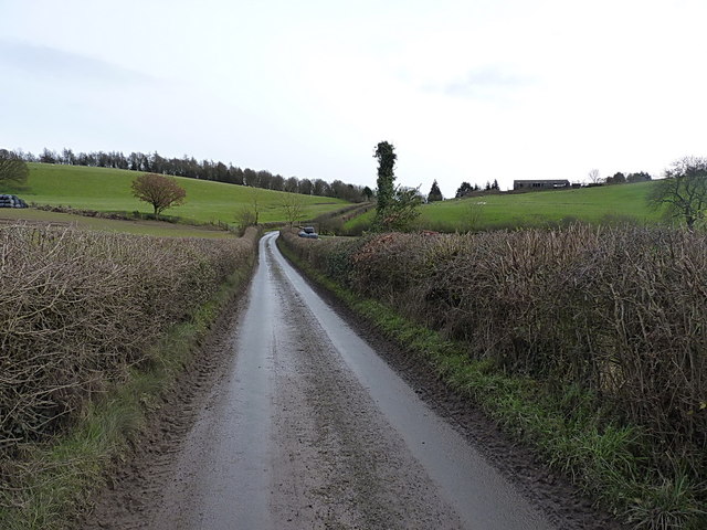
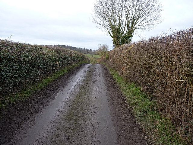
Covering an area of approximately 500 acres, Kenley Common is characterized by wide expanses of rolling hills, heather-covered moorland, and panoramic views of the surrounding countryside. The common is predominantly made up of open grassland, interspersed with patches of gorse and bracken. This diverse vegetation provides a rich habitat for a variety of wildlife, including numerous bird species, butterflies, and small mammals.

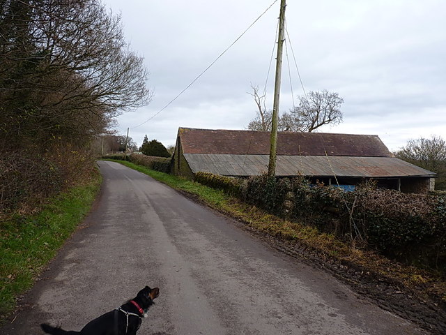
The common is crisscrossed by a network of footpaths and bridleways, making it a popular destination for walkers, cyclists, and horse riders. These paths offer visitors the opportunity to explore the area's natural beauty and enjoy the peace and tranquility it offers.

In addition to its natural attractions, Kenley Common also has historical significance. It is home to a Bronze Age burial mound known as the Devil's Chair, which stands as a testament to the area's ancient past.

Kenley Common is managed by the National Trust, ensuring its preservation and protection for future generations to enjoy. The common is open to the public year-round, with parking and picnic facilities available for visitors. Whether seeking a peaceful stroll, a spot for wildlife watching, or simply a place to unwind and connect with nature, Kenley Common offers a truly idyllic setting.

If you have any feedback on the listing, please let us know in the comments section below.

Kenley Common Images

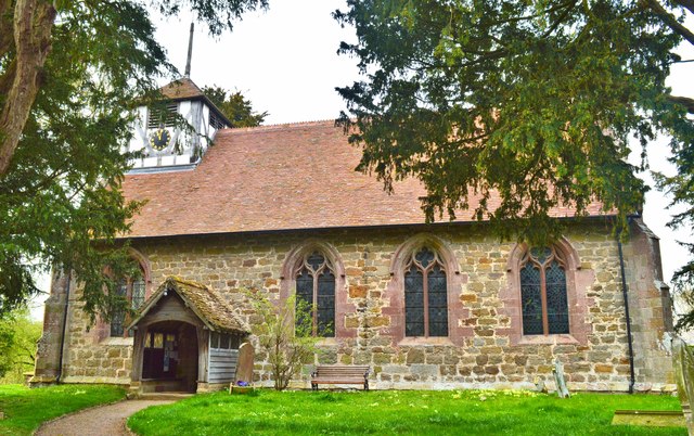
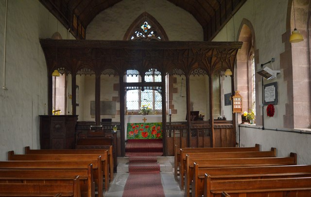
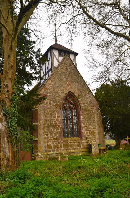
Images are sourced within 2km of 52.582101/-2.6481147 or Grid Reference SO5698. Thanks to Geograph Open Source API. All images are credited.

Below Maypole Bank A steep pull up to Parkgate Farm awaits from the road to the north west.
Below Maypole Bank
A steep pull up to Parkgate Farm awaits from the road to the north west.
OS benchmark - Maypole Bank, Parkgate Farm An OS cutmark on the wall of the farmhouse; originally levelled at 180.527m above Ordnance Datum Newlyn.
OS benchmark - Maypole Bank, Parkgate Farm
An OS cutmark on the wall of the farmhouse; originally levelled at 180.527m above Ordnance Datum Newlyn.
OS rivet & cutmark, Maypole Bank junction An OS rivet on a boulder in the hedgebank on the north side of the minor junction west of Parkgate Farm; originally levelled at 188.223m above Ordnance Datum Newlyn.
OS rivet & cutmark, Maypole Bank junction
An OS rivet on a boulder in the hedgebank on the north side of the minor junction west of Parkgate Farm; originally levelled at 188.223m above Ordnance Datum Newlyn.
Lane along Maypole Bank Following the lane along the top of Maypole Bank towards Kenley. Daft Dog does that shaking thing that they need to do every once in a while, apparently to get their ears to flap into their eyes.
Lane along Maypole Bank
Following the lane along the top of Maypole Bank towards Kenley. Daft Dog does that shaking thing that they need to do every once in a while, apparently to get their ears to flap into their eyes.
OS benchmark - Maypole Bank farm building An OS cutmark on the gable end of a small roadside barn; originally levelled at 180.1m above Ordnance Datum Newlyn.
OS benchmark - Maypole Bank farm building
An OS cutmark on the gable end of a small roadside barn; originally levelled at 180.1m above Ordnance Datum Newlyn.
St John the Baptist, Hughley Late 13th century chapel-'small but handsome',said  Nikolaus Pevsner.
St John the Baptist, Hughley
Late 13th century chapel-'small but handsome',said Nikolaus Pevsner.
St John the Baptist, Hughley The interior, showing the very fine screen - the best in Shropshire. It dates from around 1500 and is from the same workshop as that at Aymestrey in North Herefordshire.
St John the Baptist, Hughley
The interior, showing the very fine screen - the best in Shropshire. It dates from around 1500 and is from the same workshop as that at Aymestrey in North Herefordshire.
St John the Baptist, Hughley The West front.
St John the Baptist, Hughley
The West front.
Medieval tiles, Hughley Dating from the 14th century.
Medieval tiles, Hughley
Dating from the 14th century.
Rood screen, Hughley The finest screen in the county.
Rood screen, Hughley
The finest screen in the county.
Medieval tiles, Hughley A fine selection, dating from the 14th century.
Medieval tiles, Hughley
A fine selection, dating from the 14th century.
Medieval glass fragments, Hughley
East window, Hughley Fragments of 14th century glass in the East window at Hughley.
East window, Hughley
Fragments of 14th century glass in the East window at Hughley.
Pillar piscina and Edwardian stained glass, Hughley On the south side of the chancel.
Pillar piscina and Edwardian stained glass, Hughley
On the south side of the chancel.
Detail of rood screen, Hughley Detail of the superb screen at Hughley.
Detail of rood screen, Hughley
Detail of the superb screen at Hughley.
Detail of rood screen, Hughley Close up to the 16th century screen at Hughley, the finest in Shropshire.
Detail of rood screen, Hughley
Close up to the 16th century screen at Hughley, the finest in Shropshire.
Narrow lane in the SW corner of SJ5500 A short stretch, maybe 50 yards long, of the lane between Little Langley and Maypole Bank just runs through this square for a few yards; this is most of that stretch.
Narrow lane in the SW corner of SJ5500
A short stretch, maybe 50 yards long, of the lane between Little Langley and Maypole Bank just runs through this square for a few yards; this is most of that stretch.
New build cottages at Kenley A pair of identical stone cottages recently built to the SW of the village of Kenley.
New build cottages at Kenley
A pair of identical stone cottages recently built to the SW of the village of Kenley.
Show me another place!

Kenley Common is located at Grid Ref: SO5698 (Lat: 52.582101, Lng: -2.6481147)

Unitary Authority: Shropshire

Police Authority: West Mercia

What 3 Words

///sigh.forgotten.market. Near Kenley, Shropshire

Nearby Locations

Kenley Common

Related Wikis

Hughley, Shropshire

Hughley (grid reference SO565979) is a village and civil parish in Shropshire, England, about 5 miles (8 km) south-west of Much Wenlock. It lies in the...

Church Preen

Church Preen is a dispersed hamlet and small civil parish in central Shropshire, England. The county town of Shropshire is Shrewsbury, which is located...

Kenley, Shropshire

Kenley is a small village and civil parish in the English county of Shropshire. It is located in remote countryside, atop a ridge at around 180 metres...

Easthope Halt railway station

Easthope Halt railway station was a station in Easthope Wood on Wenlock Edge, Easthope, Shropshire, England. The station was opened in 1936 and closed...

Nearby Amenities

Located within 500m of 52.582101,-2.6481147
Hughley
Place: village
Wikidata: Q19672810
Lat/Long: 52.5785578/-2.6436411
Power: pole
Lat/Long: 52.5859577/-2.6483461
Power: pole
Lat/Long: 52.5830617/-2.6488316
Power: pole
Lat/Long: 52.5819665/-2.6490489
Power: pole
Lat/Long: 52.5808843/-2.6492259
Power: pole
Lat/Long: 52.5798217/-2.6494539
Power: pole
Lat/Long: 52.578803/-2.649242
Power: pole
Lat/Long: 52.5776702/-2.6490569
Give Way
Direction: backward
Lat/Long: 52.5803929/-2.6507779
The data included in this document is from www.openstreetmap.org. The data is made available under ODbL.

Have you been to Kenley Common?

Leave your review of Kenley Common below (or comments, questions and feedback).