Braehead
Downs, Moorland in Orkney
Scotland
Braehead

The requested URL returned error: 429 Too Many Requests
If you have any feedback on the listing, please let us know in the comments section below.
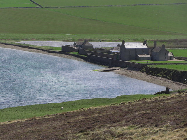
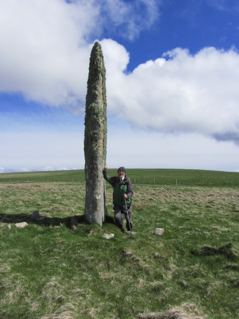
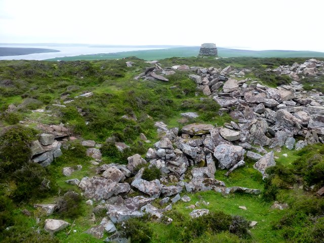
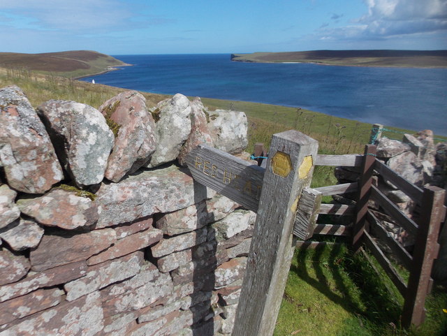
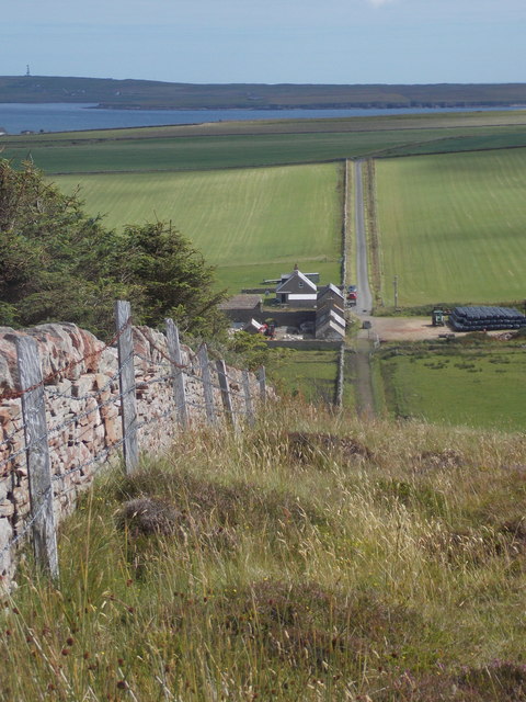
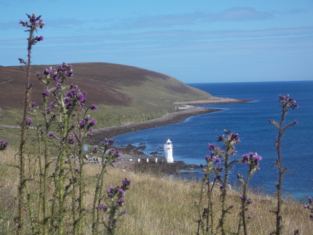
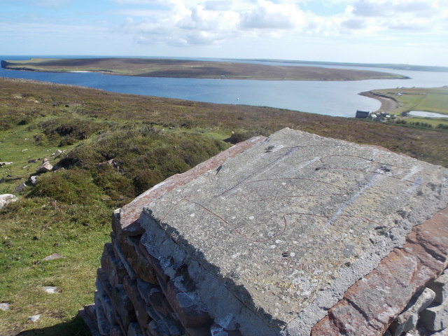
Braehead Images
Images are sourced within 2km of 59.223029/-2.7806925 or Grid Reference HY5537. Thanks to Geograph Open Source API. All images are credited.

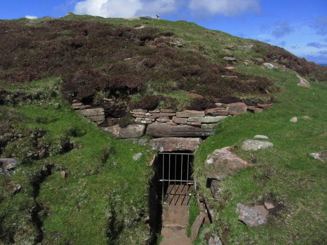

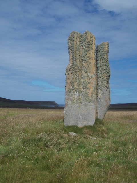
![Eday: the old Faray postbox This stone-built structure looks rather like it once contained a postbox, and indeed it did: and a postbox which had a specific function.
A lady has contacted me with the following information: The pillar contained a postbox until 1947, and it was used for post for the island of Faray, off the west of Eday. A Faray islander would come across each week and collect their mail from here. [Faray has been uninhabited since 1947, so this story fits perfectly.]](https://s0.geograph.org.uk/geophotos/04/70/76/4707660_3d111803.jpg)


Braehead is located at Grid Ref: HY5537 (Lat: 59.223029, Lng: -2.7806925)
Unitary Authority: Orkney Islands
Police Authority: Highlands and Islands
What 3 Words
///sand.educates.hiker. Near Backaland, Orkney Islands
Nearby Locations
Related Wikis

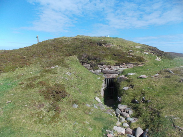
Vinquoy chambered cairn
Vinquoy chambered cairn (grid reference HY56013809) is a Neolithic chambered cairn located on the island of Eday, in Orkney, Scotland. The tomb probably...

Faray
Faray (Old Norse: Færey) is a small island in Orkney, Scotland, lying between Eday and Westray. Previously inhabited, the low-lying island is now a successful...

Calf of Eday
The Calf of Eday (Scots: Cauf o Aidee; Old Norse: Kalfr) is an uninhabited island in Orkney, Scotland, lying north east of Eday. It is known for its wildlife...

Holm of Faray
The Holm of Faray is a small island in Orkney, Scotland, near Faray and Westray, which it lies between. Together with its neighbour Faray, it is designated...
Nearby Amenities
Located within 500m of 59.223029,-2.7806925Have you been to Braehead?
Leave your review of Braehead below (or comments, questions and feedback).