Head Craig
Coastal Feature, Headland, Point in Orkney
Scotland
Head Craig
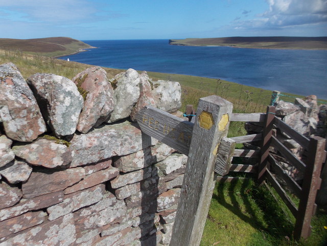
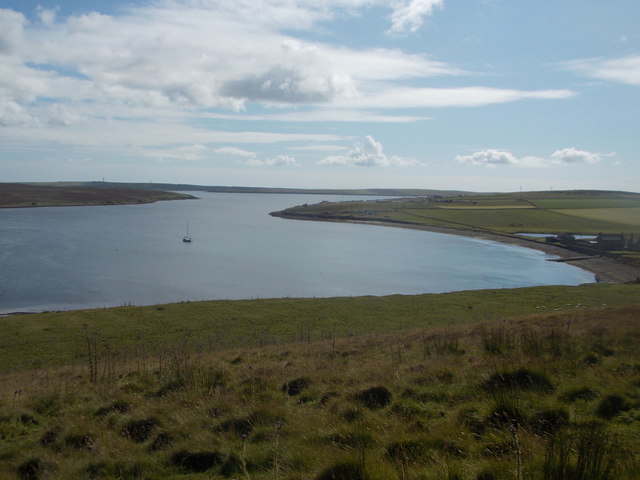
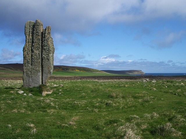
Head Craig is a prominent coastal feature located in Orkney, an archipelago in the northernmost part of Scotland. Situated on the northeastern coast of the island of Mainland, it is a headland that extends out into the North Sea. The rugged and dramatic landscape of Head Craig makes it a significant geological and geographical feature in the region.
The headland is characterized by its towering cliffs, which rise to a height of approximately 60 meters (197 feet) above sea level. The cliffs are composed of sandstone and are weathered by the relentless pounding of the waves, creating a striking visual spectacle. The coastline around Head Craig is dotted with rocky outcrops and sea stacks, further enhancing its natural beauty.
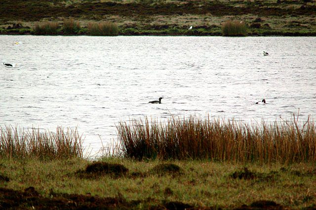
Due to its exposed location, Head Craig is subject to strong winds and powerful ocean currents. This makes it a popular spot for birdwatchers, as it serves as a nesting site for various seabird species, including guillemots, razorbills, and puffins. The area is also home to a diverse range of marine life, with seals and dolphins often seen in the surrounding waters.
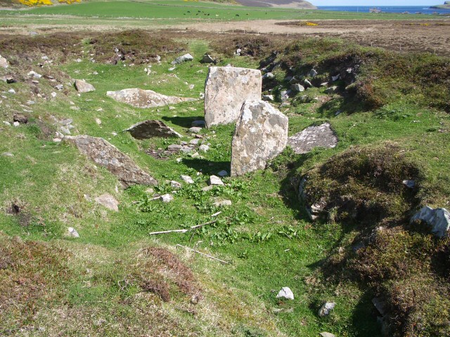
In addition to its natural beauty, Head Craig holds historical significance. It is believed that the headland was used as a lookout point during ancient times, providing early inhabitants with a strategic vantage point to monitor the sea. Today, visitors can explore the area and enjoy breathtaking views of the coastline, making Head Craig a popular destination for nature enthusiasts and photographers alike.
If you have any feedback on the listing, please let us know in the comments section below.
Head Craig Images
Images are sourced within 2km of 59.222109/-2.7873987 or Grid Reference HY5537. Thanks to Geograph Open Source API. All images are credited.
Head Craig is located at Grid Ref: HY5537 (Lat: 59.222109, Lng: -2.7873987)
Unitary Authority: Orkney Islands
Police Authority: Highlands and Islands
What 3 Words
///texts.cuff.vented. Near Backaland, Orkney Islands
Nearby Locations
Related Wikis

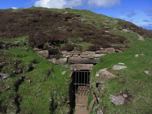
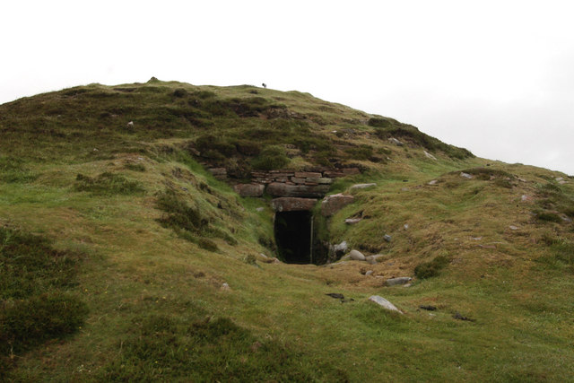
Vinquoy chambered cairn
Vinquoy chambered cairn (grid reference HY56013809) is a Neolithic chambered cairn located on the island of Eday, in Orkney, Scotland. The tomb probably...

Faray
Faray (Old Norse: Færey) is a small island in Orkney, Scotland, lying between Eday and Westray. Previously inhabited, the low-lying island is now a successful...

Holm of Faray
The Holm of Faray is a small island in Orkney, Scotland, near Faray and Westray, which it lies between. Together with its neighbour Faray, it is designated...

Calf of Eday
The Calf of Eday (Scots: Cauf o Aidee; Old Norse: Kalfr) is an uninhabited island in Orkney, Scotland, lying north east of Eday. It is known for its wildlife...

Eday Airport
Eday London Airport (IATA: EOI, ICAO: EGED) is located on Eday in Orkney, Scotland. As it is close to the Bay of London it is known locally as just London...

Rusk Holm
Rusk Holm is a small island in the Orkney Islands, near Faray to the west. == History == There is a prehistoric cairn on it . Rusk Holm is also home to...

Eday
Eday (, Scots: Aidee) is one of the islands of Orkney, which are located to the north of the Scottish mainland. One of the North Isles, Eday is about 24...

Sanday Light Railway
The Sanday Light Railway was a privately owned ridable miniature railway situated in Braeswick, on the island of Sanday, Orkney, Scotland. The railway...
Nearby Amenities
Located within 500m of 59.222109,-2.7873987Have you been to Head Craig?
Leave your review of Head Craig below (or comments, questions and feedback).