Meg Lamb's Wood
Downs, Moorland in Roxburghshire
Scotland
Meg Lamb's Wood
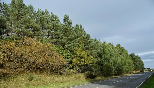
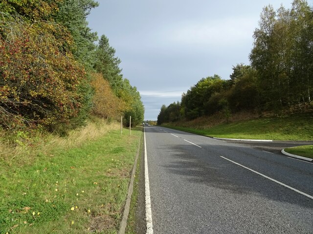
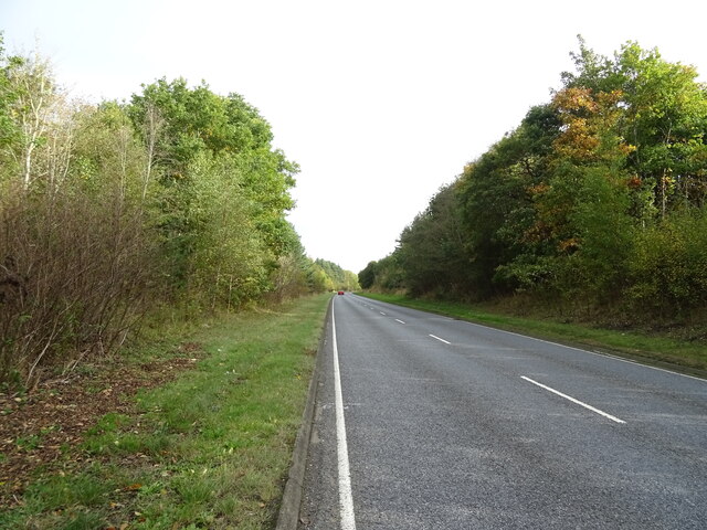
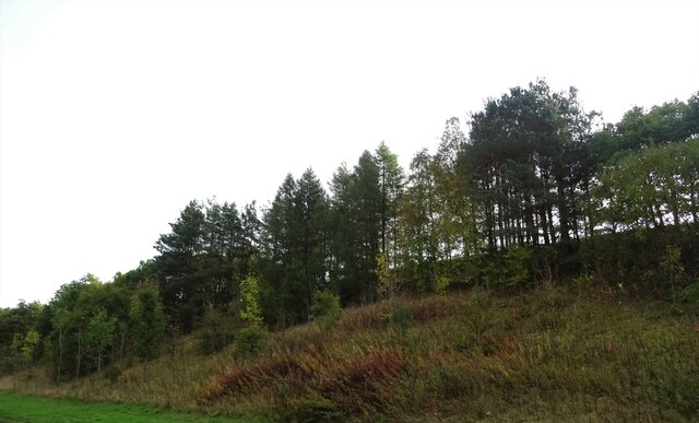
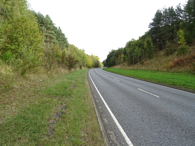
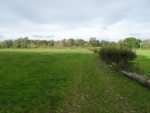
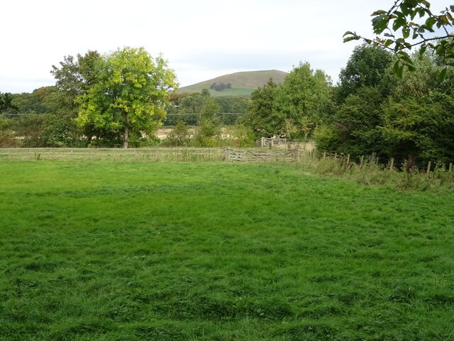
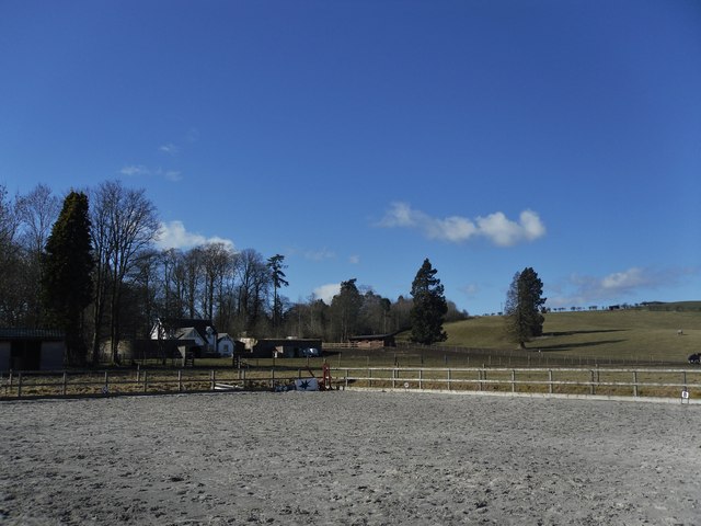
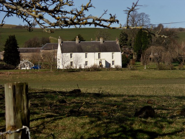
Meg Lamb's Wood is a picturesque and diverse woodland located in Roxburghshire, Scotland. Covering an area of approximately 50 acres, the wood offers a stunning natural landscape of rolling hills, dense forests, and open moorland. It is situated in close proximity to the charming village of Downs, providing a tranquil and peaceful escape for visitors.
The wood boasts a rich variety of flora and fauna, making it a haven for nature enthusiasts and wildlife lovers. Ancient oak and beech trees dominate the landscape, providing a dense canopy that filters sunlight and creates a cool, shaded environment. The forest floor is adorned with a carpet of wildflowers, including bluebells, primroses, and orchids, adding bursts of color to the surroundings.
The wood is home to a diverse range of wildlife, including red squirrels, roe deer, and a variety of bird species. The peaceful atmosphere and abundance of natural resources make it an ideal habitat for these creatures.
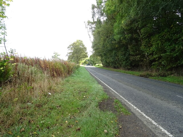
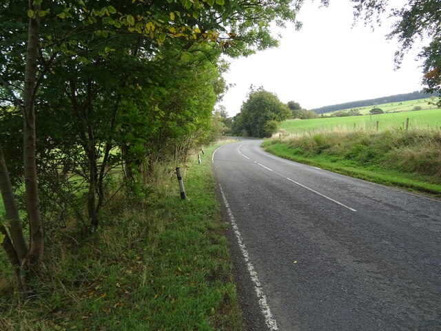
In addition to its natural beauty, Meg Lamb's Wood offers a network of well-maintained walking trails, allowing visitors to explore the area at their own pace. The paths wind through the woodland, offering breathtaking views of the surrounding countryside and opportunities for birdwatching and photography.
Whether it's a leisurely stroll, a picnic among the trees, or simply a peaceful retreat from the bustling city life, Meg Lamb's Wood in Roxburghshire offers a truly enchanting experience for all nature lovers.
If you have any feedback on the listing, please let us know in the comments section below.
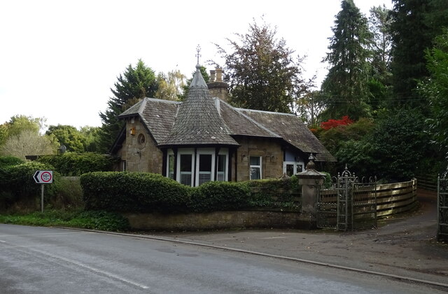
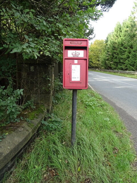
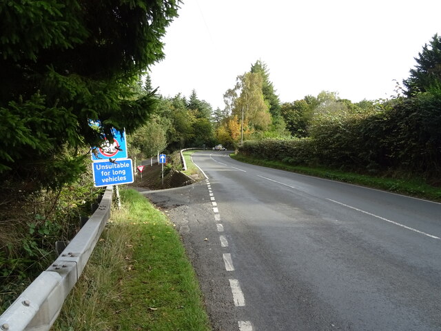
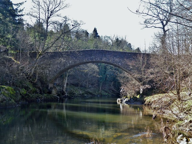
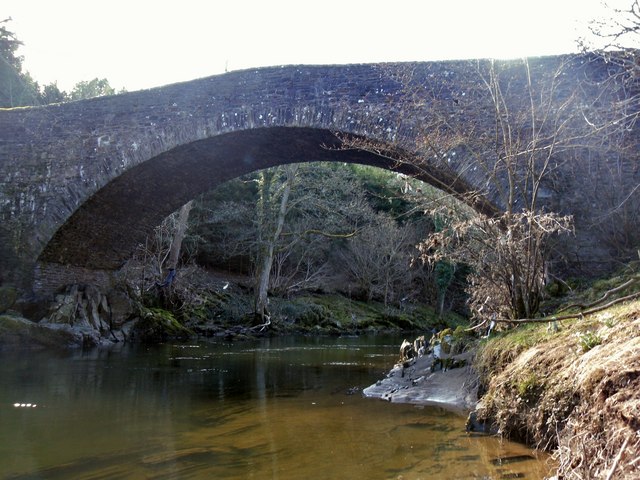
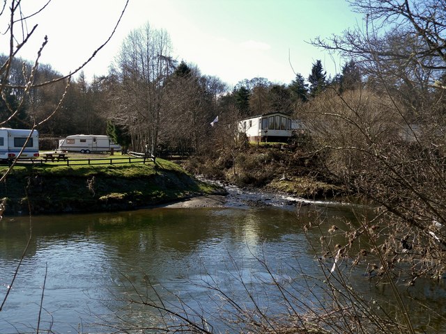
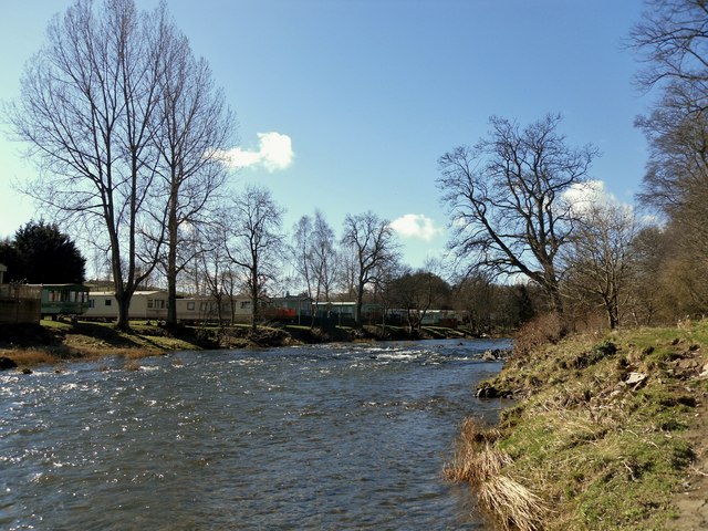
Meg Lamb's Wood Images
Images are sourced within 2km of 55.444841/-2.7089807 or Grid Reference NT5517. Thanks to Geograph Open Source API. All images are credited.
Meg Lamb's Wood is located at Grid Ref: NT5517 (Lat: 55.444841, Lng: -2.7089807)
Unitary Authority: The Scottish Borders
Police Authority: The Lothians and Scottish Borders
What 3 Words
///mailbox.remodels.pioneered. Near Hawick, Scottish Borders
Nearby Locations
Related Wikis

Cavers, Scottish Borders
Cavers is a parish in the Scottish Borders area of Scotland, in the former county of Roxburghshire, south and east of Hawick. The largest village in the...

Cavers Castle
Cavers Castle, also known as Cavers House, is a ruined tower house located at Cavers, Scottish Borders, Scotland. Cavers Castle was a much extended tower...

Westgate Hall, Denholm
Westgate Hall is located in Westgate in the village of Denholm, Roxburghshire, in the Scottish Borders. It stands at the western and south-western approaches...
Denholm
Denholm is a small village located between Jedburgh and Hawick in the Scottish Borders region of Scotland, UK. The estimated population of Denholm is 600...

Rubers Law
Rubers Law is a prominent, conical hill in the Scottish Borders area of south-east Scotland. It stands on the south bank of the River Teviot, between the...

Appletreehall
Appletreehall is a village in the Scottish Borders area of Scotland, 2 miles north-east of Hawick, in the historic county of Roxburghshire. Nearby are...

Hassendean, Scottish Borders
Hassendean is a hamlet in the Scottish Borders south of Edinburgh, Scotland. The stream is the Hassendean Burn which flows down to the River Teviot five...

Hassendean railway station
Hassendean railway station served the village of Hassendean, Scottish Borders, Scotland from 1850 to 1969 on the Waverley Route. == History == The station...
Nearby Amenities
Located within 500m of 55.444841,-2.7089807Have you been to Meg Lamb's Wood?
Leave your review of Meg Lamb's Wood below (or comments, questions and feedback).