Todcroft Wood
Downs, Moorland in Westmorland Eden
England
Todcroft Wood
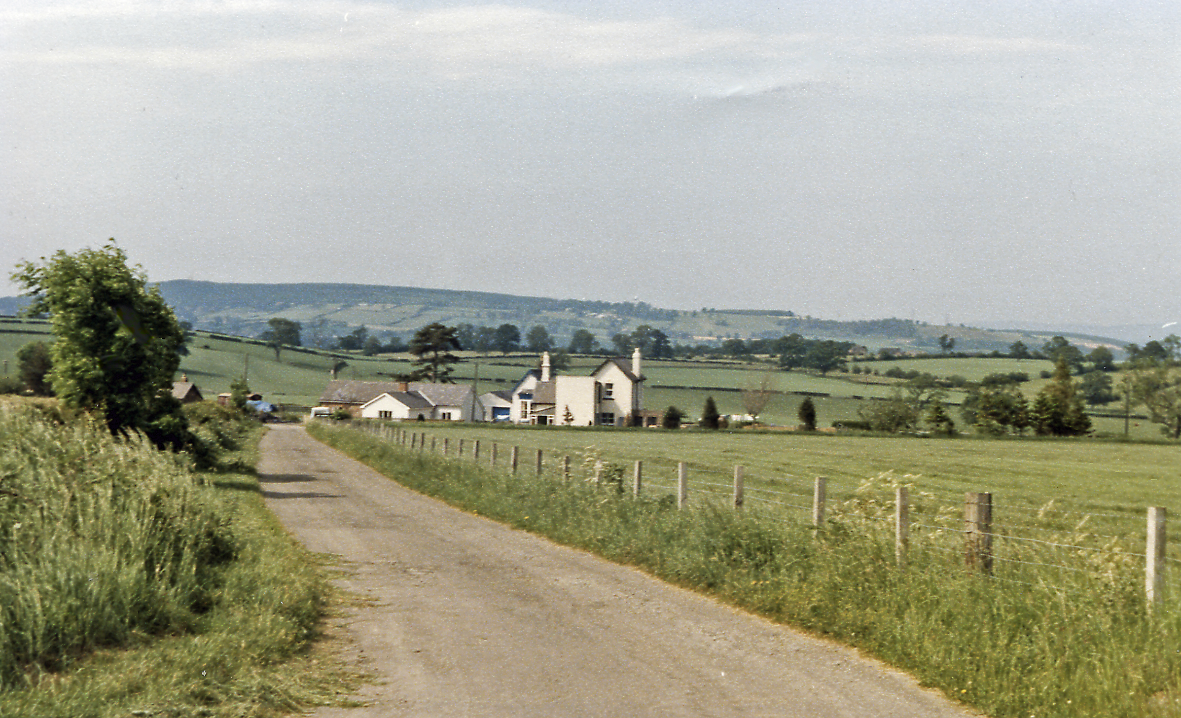
Todcroft Wood is a picturesque forest located in the region of Westmorland, which is situated in the northwestern part of England. This woodland area encompasses a wide variety of landscapes, including downs and moorland, making it a diverse and unique natural habitat.
Covering an area of approximately 200 acres, Todcroft Wood is home to an abundant array of flora and fauna. The forest is characterized by its dense canopy of tall, mature trees, including oak, birch, and beech, which provide shelter and nesting sites for numerous bird species. Visitors to the wood may be lucky enough to catch a glimpse of native wildlife such as deer, squirrels, and various woodland birds.
The wood is crisscrossed by a network of walking trails, allowing nature enthusiasts to explore its stunning scenery at their own pace. These trails wind through the different terrains of the downs and moorland, offering breathtaking views of the surrounding countryside. The wood is especially popular during the spring and summer months when the forest floor is covered in a vibrant carpet of wildflowers.
Todcroft Wood also holds historical significance, with evidence of human activity dating back to the Neolithic era. Archaeological remains, including ancient burial mounds and stone tools, have been discovered in the area, adding an extra layer of intrigue to this enchanting woodland.
Overall, Todcroft Wood in Westmorland is a captivating natural haven that showcases the beauty and diversity of the region's landscape. Its combination of downs, moorland, and ancient woodlands make it a must-visit destination for nature lovers and history enthusiasts alike.
If you have any feedback on the listing, please let us know in the comments section below.
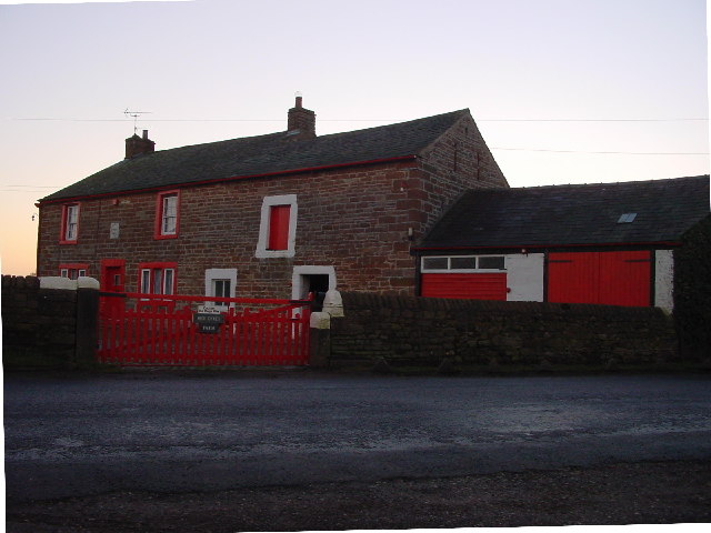
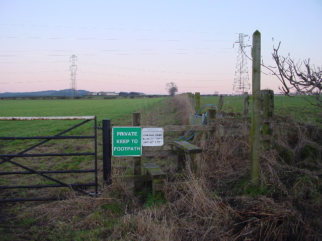
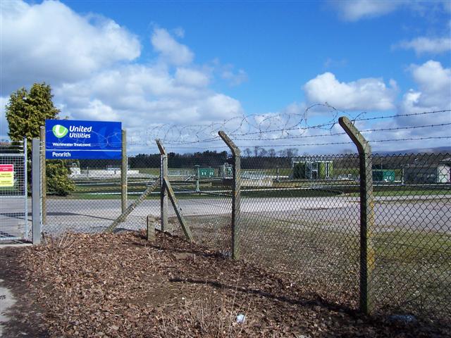
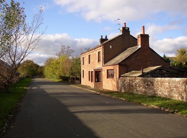
Todcroft Wood Images
Images are sourced within 2km of 54.644248/-2.6951446 or Grid Reference NY5527. Thanks to Geograph Open Source API. All images are credited.


Todcroft Wood is located at Grid Ref: NY5527 (Lat: 54.644248, Lng: -2.6951446)
Administrative County: Cumbria
District: Eden
Police Authority: Cumbria
What 3 Words
///revise.period.adverbs. Near Penrith, Cumbria
Nearby Locations
Related Wikis
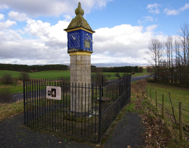
Countess Pillar
The Countess Pillar is a 17th-century monument near Brougham, Cumbria, England, between Penrith and Appleby. It is two miles east of Penrith on the A66...

Wetheriggs Pottery
Wetheriggs Pottery is a former pottery on the C3047 road, east of the hamlet of Clifton Dykes, in Clifton, Cumbria, 5 miles (8.0 km) southeast of Penrith...

Brocavum
Brocavum is the Latin name of a Roman fort at Brougham near Penrith, Cumbria. The fort survives as earthworks, but no excavation of these has been carried...

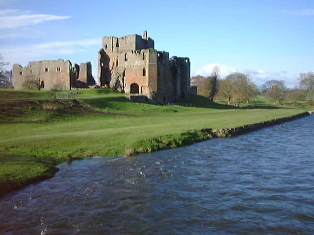
Brougham Castle
Brougham Castle (pronounced ) is a medieval building about 2 miles (3.2 km) south-east of Penrith, Cumbria, England. The castle was founded by Robert I...

Brougham, Cumbria
Brougham is a small village (or more properly a collection of hamlets) and civil parish on the outskirts of Penrith in the Eden District of Cumbria, England...

Penrith A.F.C.
Penrith Association Football Club is a football club based in Penrith, Cumbria, England. They play in the Northern Football League Division One and their...
Clifton Moor railway station
Clifton Moor railway station was situated in England on the Eden Valley Railway between Penrith and Kirkby Stephen East. It served the village of Clifton...
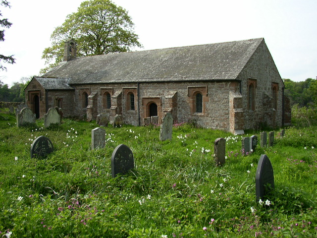
Ninekirks
Ninekirks is the local name for St Ninian's church, Brougham, Cumbria. Dedicated to Saint Ninian, it was formerly the Anglican parish church for Brougham...
Nearby Amenities
Located within 500m of 54.644248,-2.6951446Have you been to Todcroft Wood?
Leave your review of Todcroft Wood below (or comments, questions and feedback).