Square Clump
Downs, Moorland in Roxburghshire
Scotland
Square Clump
Square Clump is a picturesque area located in Roxburghshire, Scotland. Nestled amidst the breathtaking Downs and Moorland, it is renowned for its natural beauty and tranquility. Spanning an approximate area of 2 square kilometers, Square Clump offers visitors a serene escape from the hustle and bustle of city life.
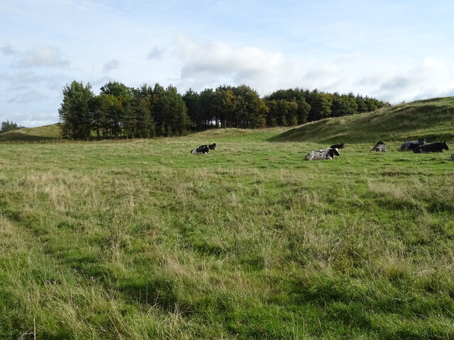
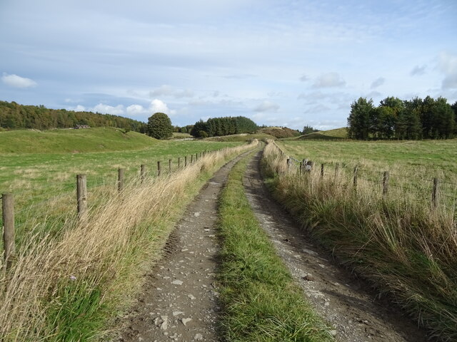
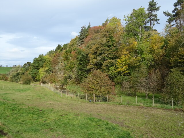
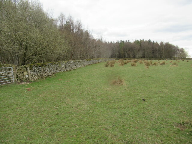
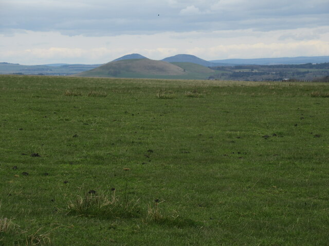
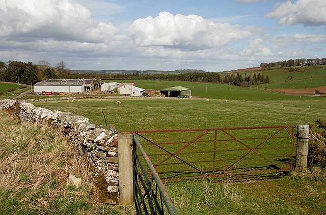
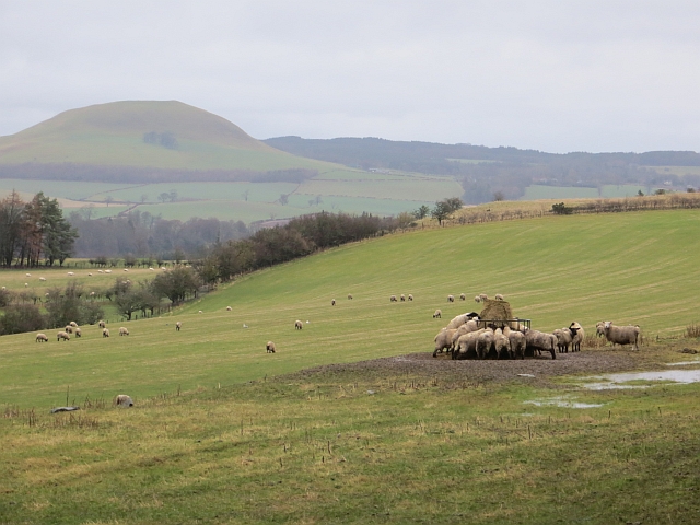
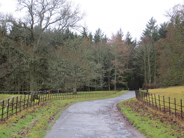
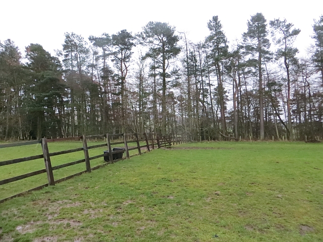
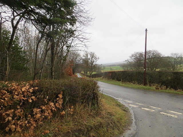
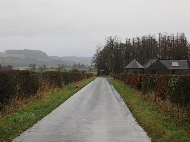
The landscape of Square Clump is characterized by rolling hills, sprawling meadows, and dense forests. The Downs provide a stunning backdrop with their lush greenery and gentle slopes. Moorland stretches across the area, covered in heather and peat, creating a unique and vibrant ecosystem.
The flora and fauna in Square Clump are diverse and abundant. The area is home to a wide range of plant species, including wildflowers, mosses, and ferns. Various bird species such as buzzards, curlews, and skylarks can be spotted soaring in the skies. Red deer and rabbits roam freely in the moorland, adding to the natural charm of the area.
Square Clump offers numerous outdoor activities for nature enthusiasts. Hiking and walking trails crisscross the landscape, allowing visitors to explore the area at their own pace. The scenic beauty of the surroundings makes it an ideal spot for photography and nature observation.
For those seeking tranquility and a connection with nature, Square Clump in Roxburghshire is a must-visit destination. Its unspoiled beauty and diverse ecosystem make it a haven for outdoor enthusiasts and a haven for those seeking respite in the heart of nature.
If you have any feedback on the listing, please let us know in the comments section below.
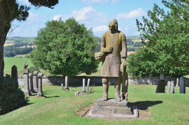
Square Clump Images
Images are sourced within 2km of 55.429754/-2.7105117 or Grid Reference NT5515. Thanks to Geograph Open Source API. All images are credited.


Square Clump is located at Grid Ref: NT5515 (Lat: 55.429754, Lng: -2.7105117)
Unitary Authority: The Scottish Borders
Police Authority: The Lothians and Scottish Borders
What 3 Words
///broth.showcase.protest. Near Hawick, Scottish Borders
Nearby Locations
Related Wikis

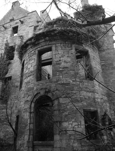
Cavers Castle
Cavers Castle, also known as Cavers House, is a ruined tower house located at Cavers, Scottish Borders, Scotland. Cavers Castle was a much extended tower...

Cavers, Scottish Borders
Cavers is a parish in the Scottish Borders area of Scotland, in the former county of Roxburghshire, south and east of Hawick. The largest village in the...

Kirkton, Scottish Borders
Kirkton is a village in the Scottish Borders area of Scotland, off the A6088, near Hawick. Grid Ref. NT5413. It is a former parish, amalgamated into the...

Rubers Law
Rubers Law is a prominent, conical hill in the Scottish Borders area of south-east Scotland. It stands on the south bank of the River Teviot, between the...
Nearby Amenities
Located within 500m of 55.429754,-2.7105117Have you been to Square Clump?
Leave your review of Square Clump below (or comments, questions and feedback).