High Cross Moor

Downs, Moorland in Lancashire Lancaster

England

High Cross Moor

Lee Fell View of Stoneacre Barn Woodsyke Plantation.on Lee Fell.
Lee Fell Credit: Peter McDermott

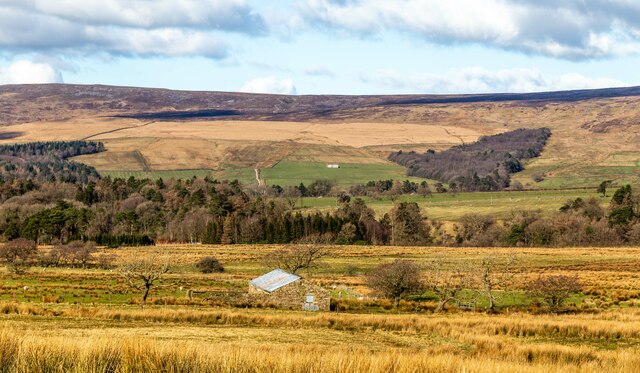
High Cross Moor is a vast expanse of moorland located in the county of Lancashire, England. Situated in the northern part of the county, it covers an area of approximately 1,500 acres and is known for its stunning natural beauty and diverse wildlife.

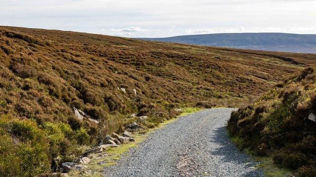
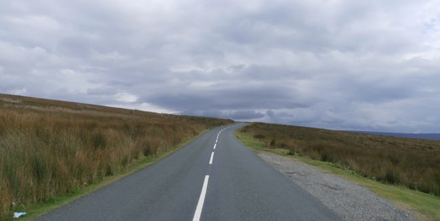
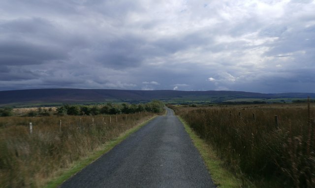
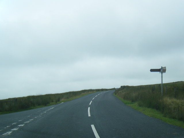
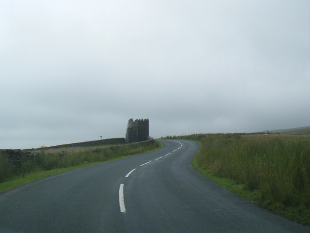
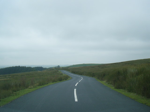
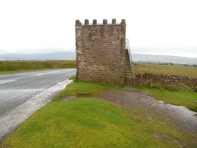
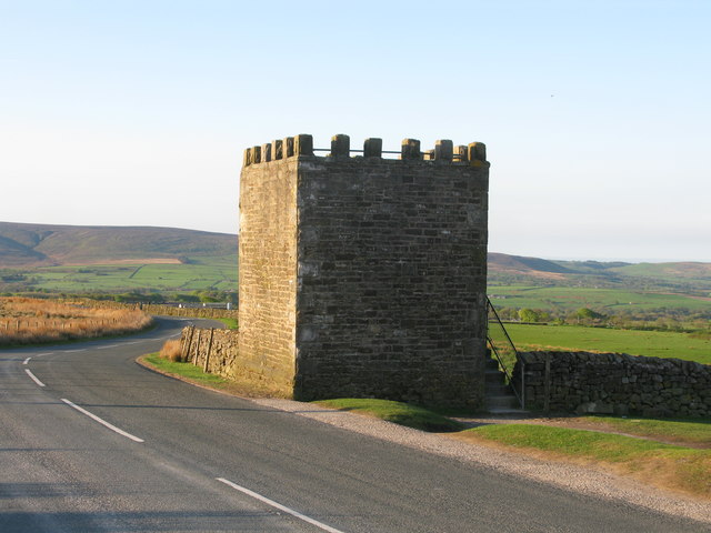
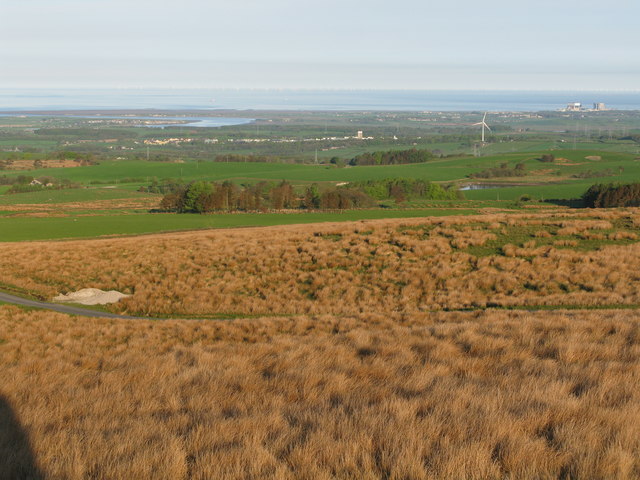
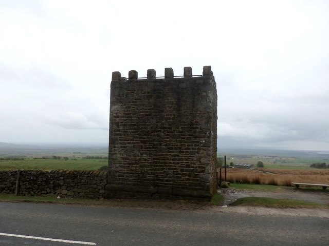
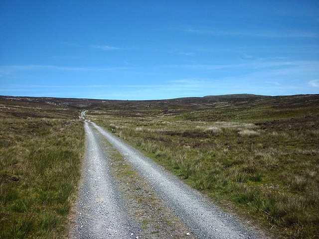
The moorland is characterized by its rolling hills and wide open spaces, providing visitors with breathtaking panoramic views of the surrounding countryside. The landscape is dominated by heather and grasses, creating a vibrant and colorful tapestry during the summer months. Additionally, scattered patches of woodland can be found throughout the area, adding to its overall charm.

High Cross Moor is a haven for wildlife enthusiasts, as it is home to a wide range of plant and animal species. Visitors may spot common heather moths, green hairstreak butterflies, and skylarks, among others. The moorland is also known to host a variety of bird species, including the kestrel and peregrine falcon.

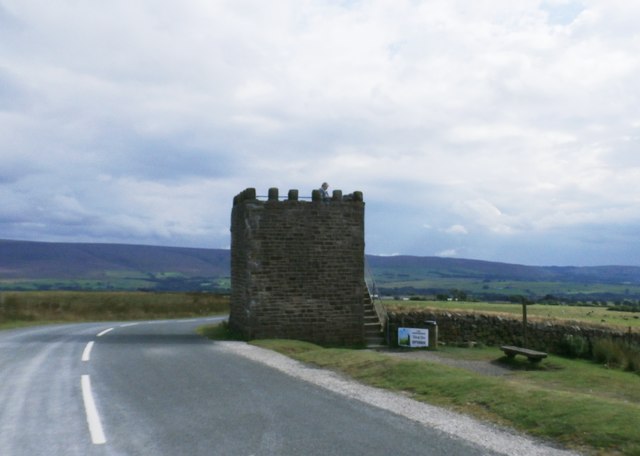
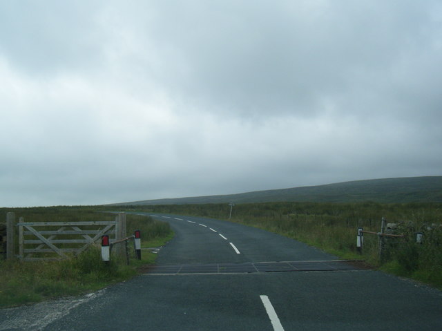
The area is accessible to the public, with several footpaths and trails crisscrossing the moorland, allowing visitors to explore its beauty on foot. These paths cater to both casual walkers and avid hikers, offering routes of varying difficulty and length.

High Cross Moor is not only a haven for nature lovers but also offers a peaceful retreat for those seeking tranquility away from the hustle and bustle of city life. Its unspoiled landscapes and serene atmosphere make it a perfect destination for relaxation and contemplation.

If you have any feedback on the listing, please let us know in the comments section below.

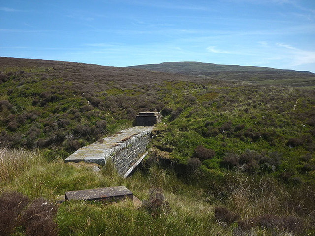
High Cross Moor Images

Images are sourced within 2km of 54.003843/-2.6860122 or Grid Reference SD5556. Thanks to Geograph Open Source API. All images are credited.

Lee Fell View of Stoneacre Barn Woodsyke Plantation.on Lee Fell.
Lee Fell
View of Stoneacre Barn Woodsyke Plantation.on Lee Fell.
Quernmore Jubilee Tower A folly prospect tower below Hare Appletree Fell. It has no visible windows or doors just an outside flight of stairs to the viewing platform
Quernmore Jubilee Tower
A folly prospect tower below Hare Appletree Fell. It has no visible windows or doors just an outside flight of stairs to the viewing platform
Jubilee Tower, Quernmore A useful viewing platform
Jubilee Tower, Quernmore
A useful viewing platform
Lee Fell Track on Lee Fell near Grizedale Head.
Lee Fell
Track on Lee Fell near Grizedale Head.
Hare Appletree Fell
Hare Appletree Fell
Jubilee Tower Commemorative tower built for Queen Victoria's Golden Jubilee
Jubilee Tower
Commemorative tower built for Queen Victoria's Golden Jubilee
Abbeystead Lane
Abbeystead Lane
Market Field Head Gate cattle grid
Abbeystead Lane junction at The Frying Pan
Jubilee Tower from lane on Abbeystead Fell
Road crossing Hare Appletree Fell
Jubilee Tower, Quernmore Situated on the road between Lee and Quernmore the postcode being LA2 0QR, this square stone built tower was erected in 1887 to commemorate the Golden Jubilee of Queen Victoria's reign, and has been described as a folly. From the top of this tower, one has views of the Fylde Coast, Lakeland Hills and the Yorkshire Dales on a clear day.
Jubilee Tower, Quernmore
Situated on the road between Lee and Quernmore the postcode being LA2 0QR, this square stone built tower was erected in 1887 to commemorate the Golden Jubilee of Queen Victoria's reign, and has been described as a folly. From the top of this tower, one has views of the Fylde Coast, Lakeland Hills and the Yorkshire Dales on a clear day.
Jubilee Tower, south-east of Lancaster The Jubilee Tower is a square stone tower on a minor road commemorating Queen Victoria's Jubilee. There are no doors or windows, just an exterior staircase leading to the top from where there are extensive views, particularly striking is the view towards Morecambe Bay.
Jubilee Tower, south-east of Lancaster
The Jubilee Tower is a square stone tower on a minor road commemorating Queen Victoria's Jubilee. There are no doors or windows, just an exterior staircase leading to the top from where there are extensive views, particularly striking is the view towards Morecambe Bay.
View from the Jubilee Tower, south-east of Lancaster Though there are 360º views from the top of the tower, this view towards Morecambe Bay is the most spectacular.
View from the Jubilee Tower, south-east of Lancaster
Though there are 360º views from the top of the tower, this view towards Morecambe Bay is the most spectacular.
OS Flush Bracket OSBM 10825, Jubilee Tower Details at <span class="nowrap"><a title="http://www.bench-marks.org.uk/bm711" rel="nofollow ugc noopener" href="http://www.bench-marks.org.uk/bm711">Link</a><img style="margin-left:2px;" alt="External link" title="External link - shift click to open in new window" src="https://s1.geograph.org.uk/img/external.png" width="10" height="10"/></span>
OS Flush Bracket OSBM 10825, Jubilee Tower
Details at LinkExternal link
Jubilee Tower Built in 1887 to commemorate Queen Victoria's Golden Jubilee. There is an OS Flush Bracket in the middle of the roadside wall, 0.7 metres above the ground.
Jubilee Tower
Built in 1887 to commemorate Queen Victoria's Golden Jubilee. There is an OS Flush Bracket in the middle of the roadside wall, 0.7 metres above the ground.
Aqueduct, Higher Within Sike Looking towards Ward's Stone.
Aqueduct, Higher Within Sike
Looking towards Ward's Stone.
Shooters track, Lee Fell A long straight section giving easy access onto Grit Fell and Ward's Stone.
Shooters track, Lee Fell
A long straight section giving easy access onto Grit Fell and Ward's Stone.
Show me another place!

High Cross Moor is located at Grid Ref: SD5556 (Lat: 54.003843, Lng: -2.6860122)

Administrative County: Lancashire

District: Lancaster

Police Authority: Lancashire

What 3 Words

///ourselves.kinks.error. Near Bay Horse, Lancashire

Related Wikis

River Grizedale

The River Grizedale, also known as Grizedale Beck, is a river in Lancashire, England. The river rises at Grizedale Head between Abbeystead Fell, Cabin...

Grizedale Bridge

Grizedale Bridge is a Grade II listed bridge in the English parish of Over Wyresdale, Lancashire. The structure, which dates to the 19th century, carries...

Christ Church, Over Wyresdale

Christ Church, Over Wyresdale, stands in an isolated position to the west of the village of Abbeystead, Lancashire, England. The church is recorded in...

Grit Fell

Grit Fell is a lonely hill between Clougha Pike and Ward's Stone in the Forest of Bowland in Lancashire, England. Covered by heather and large bogs, it...

Nearby Amenities

Located within 500m of 54.003843,-2.6860122
Passing Place
Lat/Long: 54.0025285/-2.689666
Give Way
Direction: forward
Lat/Long: 54.0040971/-2.6899429
No 32
Marker: stone
Material: stone
Operator: LCWW
Since: 1878
Utility: water
Lat/Long: 54.00781/-2.6849365
No 30
Marker: stone
Material: stone
Operator: LCWW
Since: 1878
Utility: water
Lat/Long: 54.007495/-2.6900226
No 29
Marker: stone
Material: stone
Operator: LCWW
Since: 1878
Utility: water
Lat/Long: 54.0072911/-2.6903862
No 28
Marker: stone
Material: stone
Operator: LCWW
Since: 1878
Utility: water
Lat/Long: 54.0072055/-2.6907723
Lainsley Hill
Place: locality
Lat/Long: 54.0014806/-2.6913831
High Cross Moor
Place: locality
Lat/Long: 54.0028124/-2.6866564
Passing Place
Lat/Long: 54.0004707/-2.6891081
Hunting Stand
Lat/Long: 54.0011733/-2.6886179
The data included in this document is from www.openstreetmap.org. The data is made available under ODbL.

Have you been to High Cross Moor?

Leave your review of High Cross Moor below (or comments, questions and feedback).