Capernwray Park

Downs, Moorland in Lancashire Lancaster

England

Capernwray Park

Damaged footbridge, River Keer The bridge pier on the east side has collapsed.
Damaged footbridge, River Keer Credit: Ian Taylor

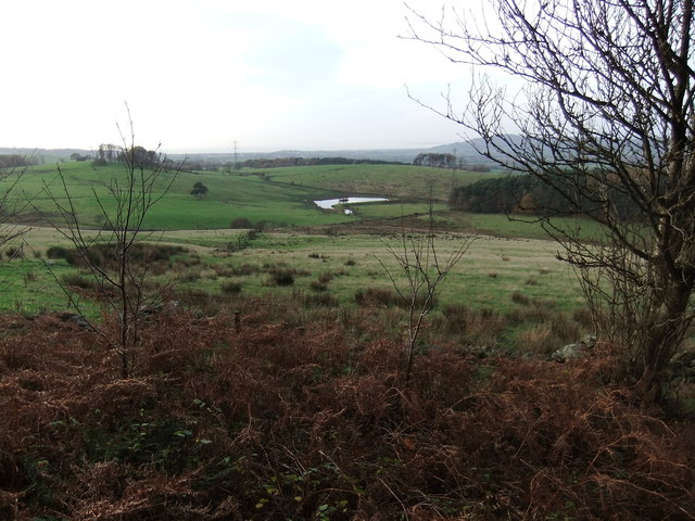
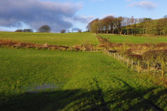
Capernwray Park is a picturesque region located in the county of Lancashire, England. Situated amidst the stunning landscapes of the Downs and Moorland, it offers a serene and tranquil setting for nature enthusiasts and outdoor lovers. Spanning over a vast area, the park is known for its diverse range of flora and fauna, making it a haven for wildlife.

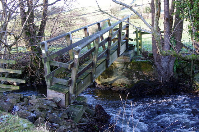
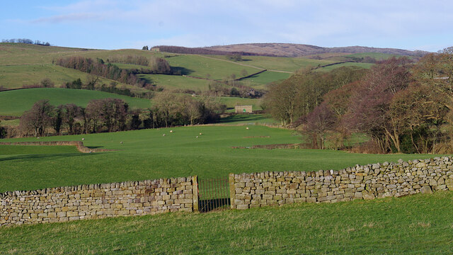
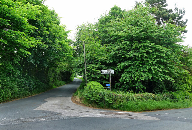
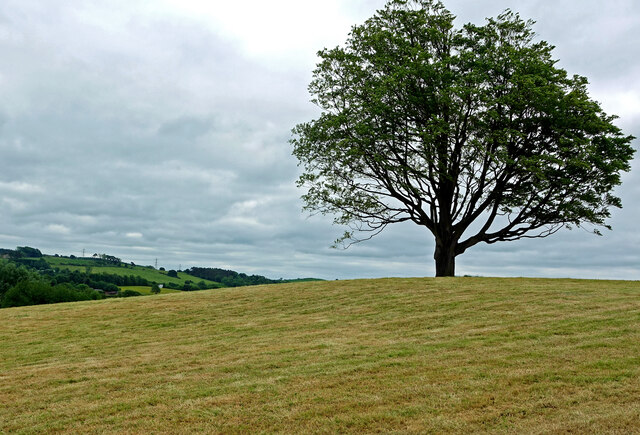
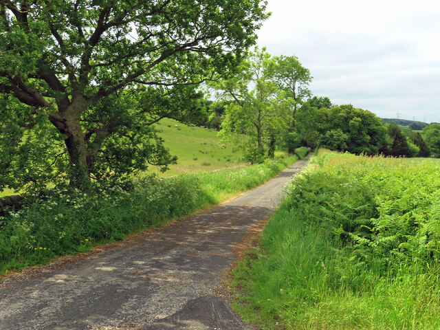
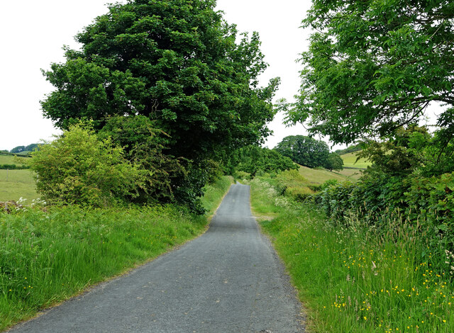
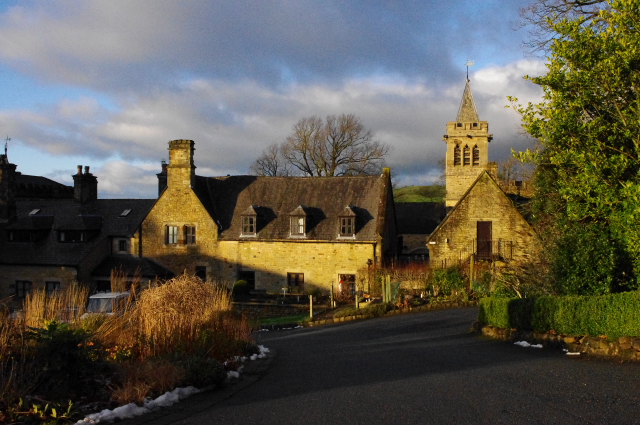
The park boasts rolling hills, vast meadows, and lush forests, providing visitors with ample opportunities for walking, hiking, and cycling. The Downs offer breathtaking views of the surrounding countryside, while the Moorland presents a rugged and untamed beauty. The landscape is dotted with charming villages and historic sites, adding to the area's appeal.

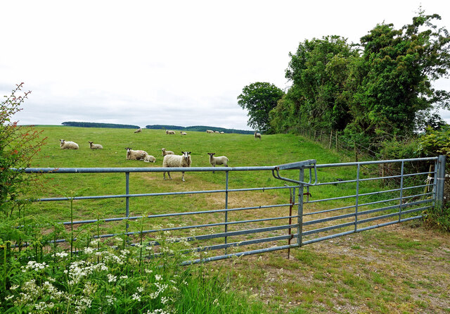
Capernwray Park is renowned for its rich biodiversity. The park is home to a variety of plant species, including heather, gorse, and wildflowers, which create a vibrant and colorful tapestry. The diverse ecosystem supports a wide range of wildlife, including deer, rabbits, squirrels, and numerous bird species.

Visitors to Capernwray Park can also enjoy recreational activities such as fishing in the park's lakes and ponds, or simply relaxing and picnicking in the idyllic surroundings. The park provides facilities such as picnic areas, walking trails, and visitor centers to enhance the experience for its visitors.

Overall, Capernwray Park is a natural gem in Lancashire, offering a perfect blend of stunning landscapes, diverse wildlife, and recreational opportunities. It provides a peaceful retreat for those seeking tranquility amidst the beauty of nature.

If you have any feedback on the listing, please let us know in the comments section below.

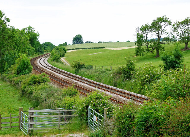
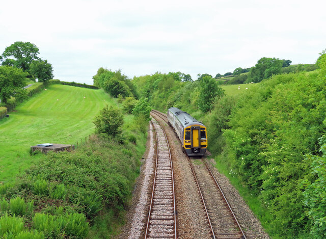
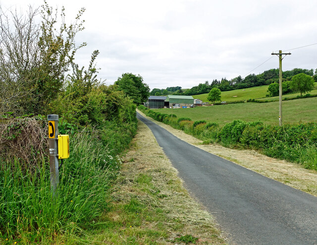
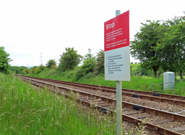
Capernwray Park Images

Images are sourced within 2km of 54.145465/-2.6901892 or Grid Reference SD5572. Thanks to Geograph Open Source API. All images are credited.

Damaged footbridge, River Keer The bridge pier on the east side has collapsed.
Damaged footbridge, River Keer
The bridge pier on the east side has collapsed.
Farmland near Gunnerthwaite Grazing land in the Keer valley. The gate indicates the route of the Thirlmere Aqueduct. A valve house can be seen in the distance. The aqueduct used to be inspected by foot, so gates were provided where the route crosses walls and fences.
Farmland near Gunnerthwaite
Grazing land in the Keer valley. The gate indicates the route of the Thirlmere Aqueduct. A valve house can be seen in the distance. The aqueduct used to be inspected by foot, so gates were provided where the route crosses walls and fences.
On the Lancashire Cycleway The road ahead, Keer Holme Lane, also leads to Docker.
On the Lancashire Cycleway
The road ahead, Keer Holme Lane, also leads to Docker.
Beside Keer Holme Lane A cut of grass had been taken from the field. Viewed in disappointingly dull summer conditions.
Beside Keer Holme Lane
A cut of grass had been taken from the field. Viewed in disappointingly dull summer conditions.
The Morecambe line This quiet railway line joins the Settle-Carlisle line at Giggleswick. Viewed from Starricks Farm road on a disappointingly dull June morning.
The Morecambe line
This quiet railway line joins the Settle-Carlisle line at Giggleswick. Viewed from Starricks Farm road on a disappointingly dull June morning.
Railway view at Keer Holme DMU 158855 on the Morecambe Line in the Keer Valley.
Railway view at Keer Holme
DMU 158855 on the Morecambe Line in the Keer Valley.
Keer Holme view Viewed from the crossing point on the Morecambe railway line in disappointing June weather.
Keer Holme view
Viewed from the crossing point on the Morecambe railway line in disappointing June weather.
Railway crossing point A public footpath crosses the Morecambe line here.
Railway crossing point
A public footpath crosses the Morecambe line here.
Towards Gunnerthwaite A farm access road in the Keer Valley.
Towards Gunnerthwaite
A farm access road in the Keer Valley.
Going to Priest Hutton Viewed on a disappointing early-June morning when better weather had been expected.
Going to Priest Hutton
Viewed on a disappointing early-June morning when better weather had been expected.
Lancashire grazing land Sheep taking a look as I passed by on the lane.
Lancashire grazing land
Sheep taking a look as I passed by on the lane.
Thunder in the east? As the sun was getting low a break in the clouds east and north of Carnforth gave a glimpse of these towering thunder clouds beyond Cragg Lot. No thunder could be heard so perhaps they were a long way away? The day had been warm and humid.
Thunder in the east?
As the sun was getting low a break in the clouds east and north of Carnforth gave a glimpse of these towering thunder clouds beyond Cragg Lot. No thunder could be heard so perhaps they were a long way away? The day had been warm and humid.
Tomlinson's Lot
Tomlinson's Lot
Capernwray Evangelical Church
Grazing land near Borwick The Carnforth - Skipton railway line bisects the photo, hidden by vegetation and a slight cutting. The fencing suggests that there used to be a farm crossing here.
Grazing land near Borwick
The Carnforth - Skipton railway line bisects the photo, hidden by vegetation and a slight cutting. The fencing suggests that there used to be a farm crossing here.
Capernwray Hall See <span class="nowrap"><a title="http://www.capernwray.org.uk/Capernwray.php?pid=43" rel="nofollow ugc noopener" href="http://www.capernwray.org.uk/Capernwray.php?pid=43">Link</a><img style="margin-left:2px;" alt="External link" title="External link - shift click to open in new window" src="https://s1.geograph.org.uk/img/external.png" width="10" height="10"/></span>.
Capernwray Hall
See LinkExternal link.
Pheasant Field Farmyard This is the rented farmyard at Pheasant Fields.
Pheasant Field Farmyard
This is the rented farmyard at Pheasant Fields.
Show me another place!

Capernwray Park is located at Grid Ref: SD5572 (Lat: 54.145465, Lng: -2.6901892)

Administrative County: Lancashire

District: Lancaster

Police Authority: Lancashire

What 3 Words

///cubs.directs.obscuring. Near Warton, Lancashire

Related Wikis

Capernwray Missionary Fellowship of Torchbearers

The Capernwray Missionary Fellowship of Torchbearers (CMFOT), is an evangelical Christian educational organisation based at Capernwray Hall in north Lancashire...
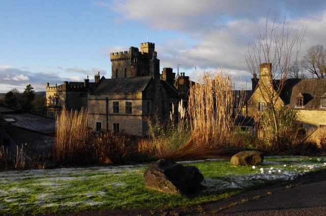
Capernwray Hall

Capernwray Hall is a former country house situated 3 miles east-northeast of Carnforth, Lancashire, England, and is currently used as a Christian Bible...
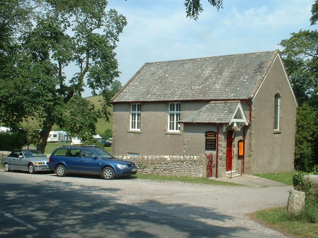
Capernwray Chapel

Capernwray Chapel is in the village of Capernwray, Over Kellet, Lancashire, England. Formerly the chapel to Capernwray Hall, it is now an independent Evangelical...

Borwick railway station

Borwick railway station formerly served the village of Borwick in Lancashire, England. It was located on the Furness and Midland Joint Railway line between...

Priest Hutton

Priest Hutton is a village and civil parish in Lancashire, England. It is located 5 kilometres (3 mi) north east of Carnforth, in the City of Lancaster...

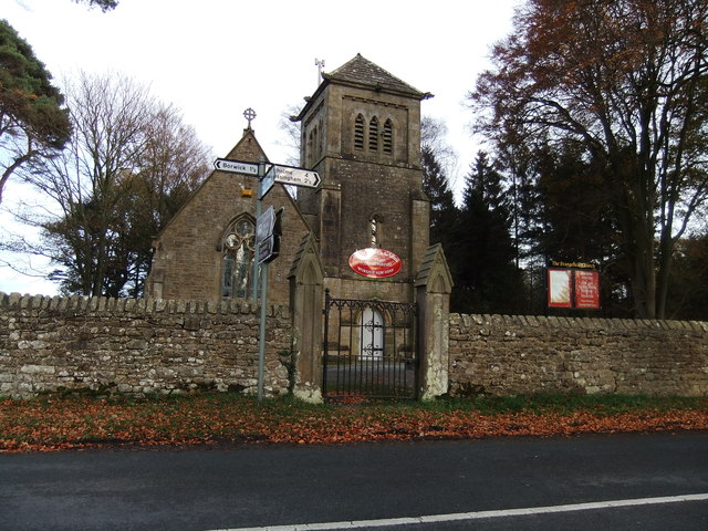
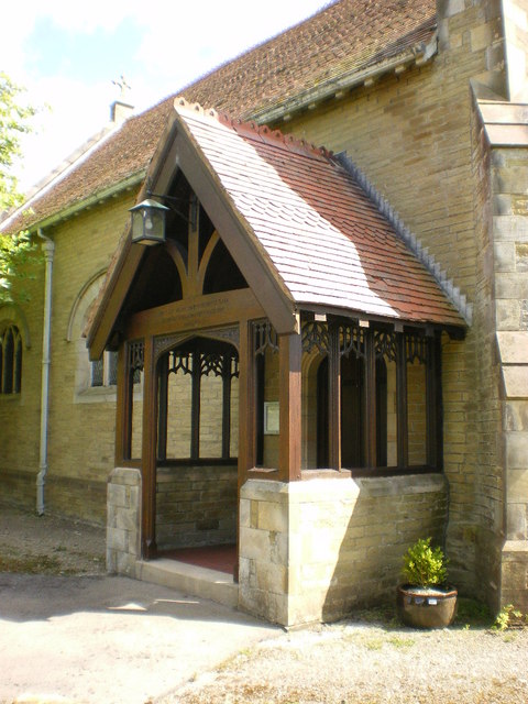
St Mary's Church, Borwick

St Mary's Church is located to the north of the village of Borwick, Lancashire, England. It is an active Anglican parish church in the deanery of Tunstall...

Capernwray Dive Centre

Capernwray Dive Centre is a large flooded former quarry, presently operated as an inland scuba diving site and training centre, near the village of Over...

Borwick

Borwick is a village and civil parish in the City of Lancaster district of Lancashire, England, about 8 miles north of Lancaster, on the Lancaster Canal...

Nearby Amenities

Located within 500m of 54.145465,-2.6901892
Power: tower
Lat/Long: 54.1438135/-2.688351
Power: tower
Lat/Long: 54.1459476/-2.6848378
Power: tower
Lat/Long: 54.1415925/-2.6919403
The data included in this document is from www.openstreetmap.org. The data is made available under ODbL.

Have you been to Capernwray Park?

Leave your review of Capernwray Park below (or comments, questions and feedback).