Burnthouse Green

Downs, Moorland in Herefordshire

England

Burnthouse Green

Orchards west of Glewstone Late autumn colour in the orchards I last photographed in summer 2008; <a href="https://www.geograph.org.uk/photo/891013">SO5522 : Orchards west of Glewstone</a>.
Orchards west of Glewstone Credit: Jonathan Billinger

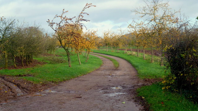
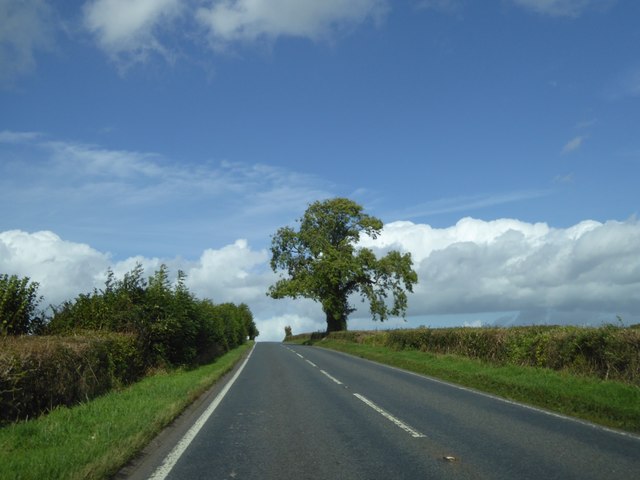
Burnthouse Green is a small village located in Herefordshire, England. Situated amidst the stunning Downs and Moorland landscapes, it offers a picturesque setting for residents and visitors alike. The village is nestled in the heart of the countryside, surrounded by rolling hills, lush green fields, and meandering streams.

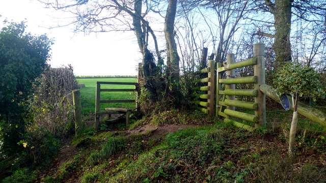
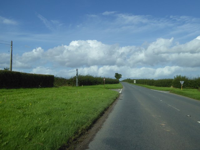
The area is known for its natural beauty and tranquility, making it a popular destination for outdoor enthusiasts. The Downs provide excellent opportunities for hiking, cycling, and horse riding, with numerous trails and paths that offer breathtaking views of the surrounding countryside.

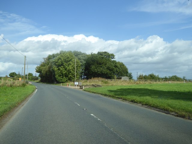
Moorland, on the other hand, offers a unique landscape characterized by vast expanses of open, rugged terrain. It is a haven for wildlife, with a diverse range of flora and fauna that can be explored and observed by nature lovers.

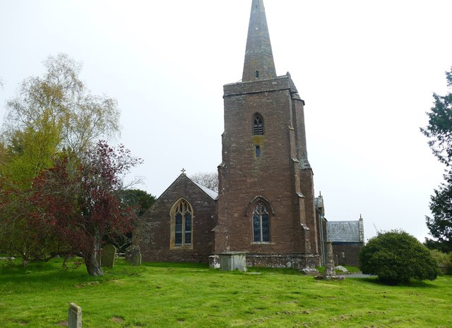
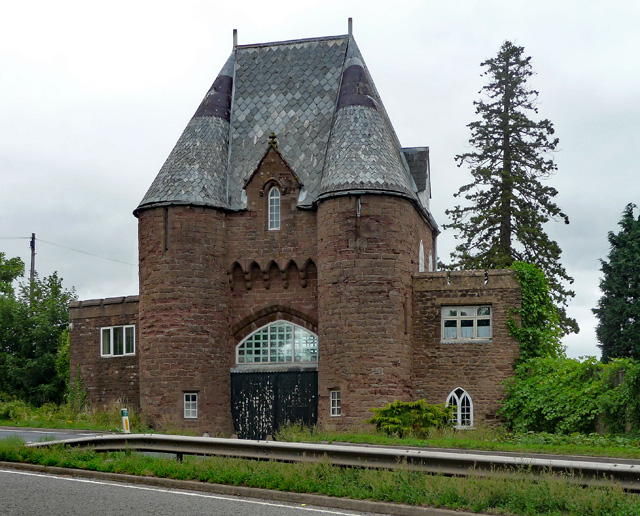
The village itself is a charming and close-knit community, with traditional cottages and houses dotting the landscape. It boasts a rich history, evident in its architecture and landmarks, such as the historic church and village hall.

Despite its rural location, Burnthouse Green is well-connected to nearby towns and cities. Hereford, the county town, is just a short drive away, offering a range of amenities and services, including shops, restaurants, and leisure facilities.

In conclusion, Burnthouse Green, Herefordshire, is a stunning village set amidst the Downs and Moorland landscapes. With its natural beauty, outdoor recreational opportunities, and close-knit community, it is a haven for those seeking a peaceful and idyllic countryside retreat.

If you have any feedback on the listing, please let us know in the comments section below.

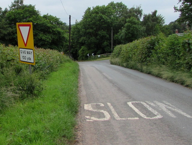
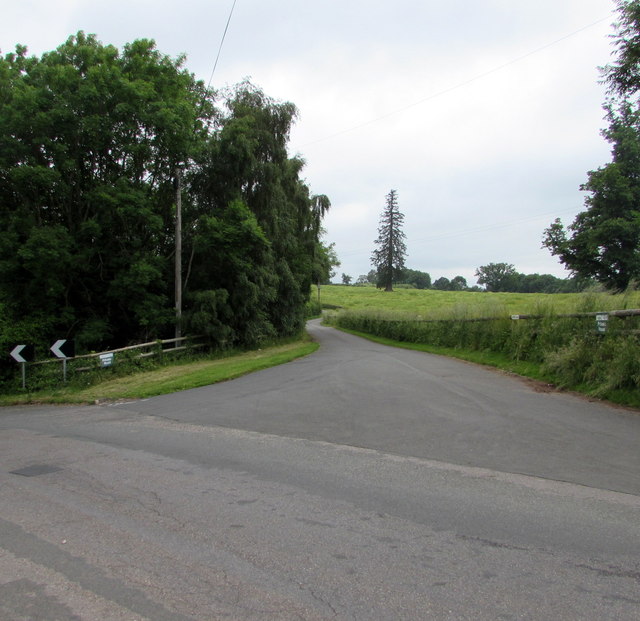
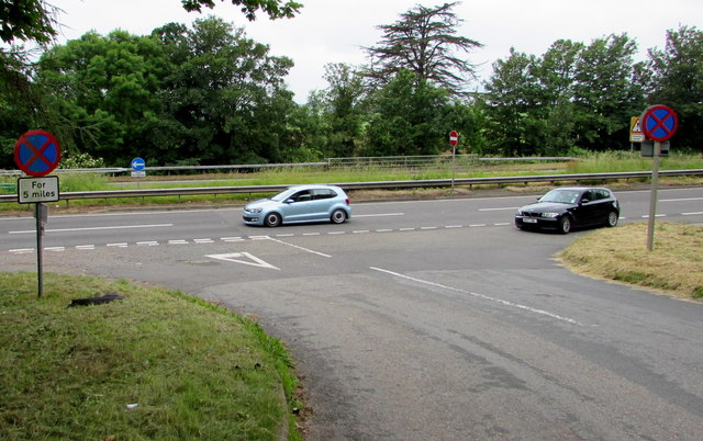
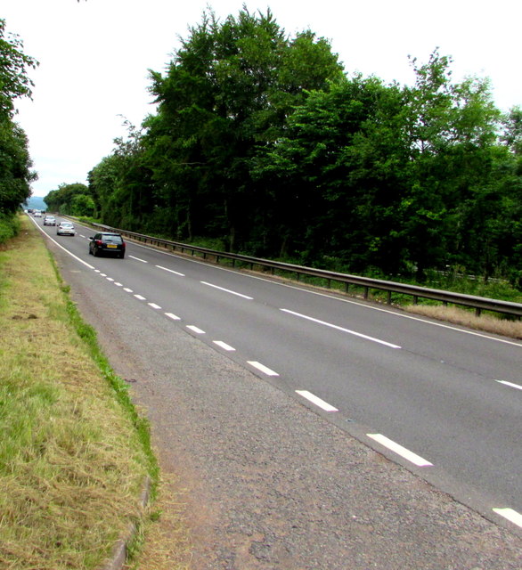
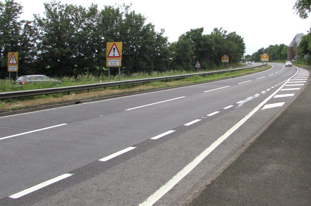
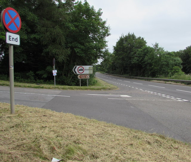
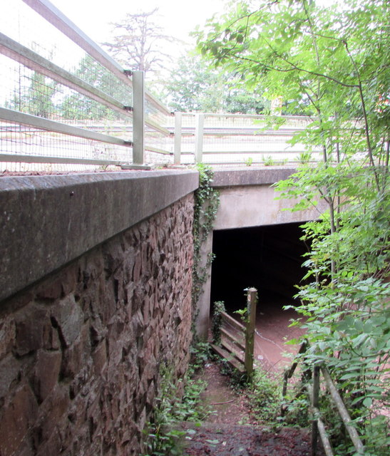
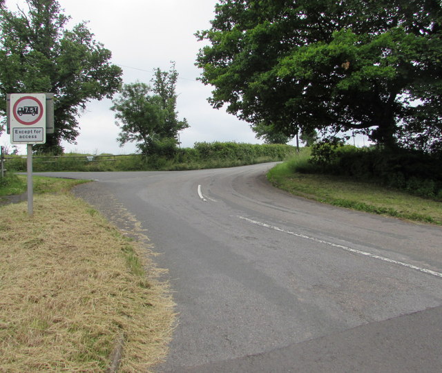
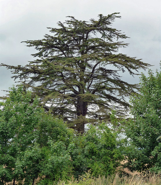
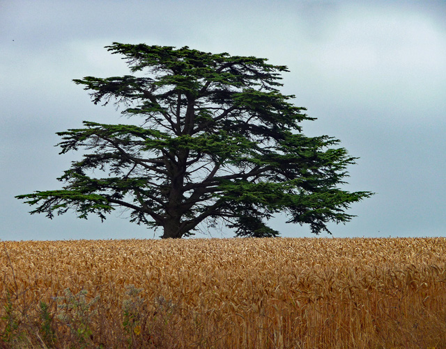
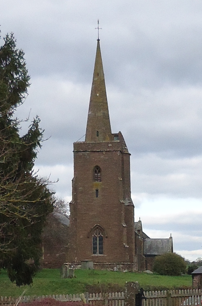
Burnthouse Green Images

Images are sourced within 2km of 51.884697/-2.6552346 or Grid Reference SO5420. Thanks to Geograph Open Source API. All images are credited.

Orchards west of Glewstone Late autumn colour in the orchards I last photographed in summer 2008; <a href="https://www.geograph.org.uk/photo/891013">SO5522 : Orchards west of Glewstone</a>.
Orchards west of Glewstone
Late autumn colour in the orchards I last photographed in summer 2008; SO5522 : Orchards west of Glewstone.
Footpath south to The Thorne The path comes to the road in the next square south at <a href="https://www.geograph.org.uk/photo/976206">SO5521 : Footpath north of The Thorne</a>.
Footpath south to The Thorne
The path comes to the road in the next square south at SO5521 : Footpath north of The Thorne.
Gatehouse Lodge of Goodrich Court Goodrich Court itself is now demolished
Gatehouse Lodge of Goodrich Court
Goodrich Court itself is now demolished
St Deinst's Church Grade I listed church dating from the 15th century
St Deinst's Church
Grade I listed church dating from the 15th century
Misaligned Give Way 100 Yards Ahead sign near Pencraig Probably misaligned after being hit by a vehicle, the sign is alongside the unclassified road from Goodrich on the descent to the A40 junction near Pencraig in south Herefordshire.
Misaligned Give Way 100 Yards Ahead sign near Pencraig
Probably misaligned after being hit by a vehicle, the sign is alongside the unclassified road from Goodrich on the descent to the A40 junction near Pencraig in south Herefordshire.
Home Farm access road, Pencraig Private road parallel with the east side of the A40, a few metres out of shot on the left.
Home Farm access road, Pencraig
Private road parallel with the east side of the A40, a few metres out of shot on the left.
Clearway for 5 miles sign, Pencraig At the A40 junction, facing the minor road from Goodrich.  
A clearway means no stopping except in an emergency or traffic jam.
The white arrow on the blue sign in the background indicates 
a mandatory left turn, onto the dual carriageway A40.
Clearway for 5 miles sign, Pencraig
At the A40 junction, facing the minor road from Goodrich. A clearway means no stopping except in an emergency or traffic jam. The white arrow on the blue sign in the background indicates a mandatory left turn, onto the dual carriageway A40.
Southbound carriageway of the A40 south of Pencraig Viewed from the corner of the minor road to Goodrich.
Southbound carriageway of the A40 south of Pencraig
Viewed from the corner of the minor road to Goodrich.
Warning signs - Concealed Access on the A40 near Pencraig The signs face vehicles on the northbound carriageway of the A40, on the approach to Pencraig. 
A Grade II listed building <a title="https://www.geograph.org.uk/photo/3421807" href="https://www.geograph.org.uk/photo/3421807">Link</a> is in the background on the right.
Warning signs - Concealed Access on the A40 near Pencraig
The signs face vehicles on the northbound carriageway of the A40, on the approach to Pencraig. A Grade II listed building Link is in the background on the right.
End of Clearway sign facing the A40 near Pencraig Facing the southbound carriageway of the A40, along which clearway regulations 
(no stopping except in an emergency or traffic jam) are in force. 
The minor road heads towards the south Herefordshire village of Goodrich, and Goodrich Castle.
End of Clearway sign facing the A40 near Pencraig
Facing the southbound carriageway of the A40, along which clearway regulations (no stopping except in an emergency or traffic jam) are in force. The minor road heads towards the south Herefordshire village of Goodrich, and Goodrich Castle.
Underpass below the A40 near Pencraig The east side of the underpass which gives walkers an alternative to crossing the  dual carriageway A40. <a title="https://www.geograph.org.uk/photo/5027195" href="https://www.geograph.org.uk/photo/5027195">Link</a>
Underpass below the A40 near Pencraig
The east side of the underpass which gives walkers an alternative to crossing the dual carriageway A40. Link
Weight limit 7.5 tonnes (except for access) sign facing the A40 near Pencraig The sign is alongside the minor road to Goodrich, facing the A40 junction in south Herefordshire.
Weight limit 7.5 tonnes (except for access) sign facing the A40 near Pencraig
The sign is alongside the minor road to Goodrich, facing the A40 junction in south Herefordshire.
Solitary tree by the A4137 Just south of the turning for Trebandy Farm
Solitary tree by the A4137
Just south of the turning for Trebandy Farm
Trees at the corner of a field, Whitfield
Crossroads at The Thorn A straight stretch of the A4137 means that wide verges are needed for sight lines
Crossroads at The Thorn
A straight stretch of the A4137 means that wide verges are needed for sight lines
Gatehouse near Goodrich Edward Blore's remarkable design, once marking the entrance to Goodrich Court (also by Blore) was built in red sandstone c1837. It is a blend of the "convincingly medieval" and "picturesque Romantic Gothic". Grade II listed.
It did not look inhabited at the time.
Gatehouse near Goodrich
Edward Blore's remarkable design, once marking the entrance to Goodrich Court (also by Blore) was built in red sandstone c1837. It is a blend of the "convincingly medieval" and "picturesque Romantic Gothic". Grade II listed. It did not look inhabited at the time.
Cedar near Goodrich (1) The layering suggested cedar to me, but I didn't get a close look.
Cedars are usually ornamental so it was probably planted by the Goodrich Court estate.
Cedar near Goodrich (1)
The layering suggested cedar to me, but I didn't get a close look. Cedars are usually ornamental so it was probably planted by the Goodrich Court estate.
Cedar near Goodrich (2) A Cedar of Lebanon (Cedrus libani), unusually isolated in a field of wheat.
Cedars are usually ornamental so it was probably planted by the Goodrich Court estate.
Cedar near Goodrich (2)
A Cedar of Lebanon (Cedrus libani), unusually isolated in a field of wheat. Cedars are usually ornamental so it was probably planted by the Goodrich Court estate.
Show me another place!

Burnthouse Green is located at Grid Ref: SO5420 (Lat: 51.884697, Lng: -2.6552346)

Unitary Authority: County of Herefordshire

Police Authority: West Mercia

What 3 Words

///putter.graphic.hiring. Near Marstow, Herefordshire

Related Wikis

Redmire Pool

Redmire Pool is near Ross-on-Wye in Herefordshire, England. At only 3 acres (1.2 ha) in size it is considered by angling experts to be the home of carp...
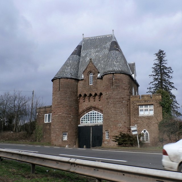
Goodrich Court

Goodrich Court, Goodrich, Herefordshire, England was a 19th-century, neo-gothic castle built by the antiquarian Sir Samuel Rush Meyrick in 1828. Designed...

Marstow

Marstow is a hamlet and civil parish in south eastern Herefordshire, England. Most of the parish is within the Wye Valley Area of Outstanding Natural Beauty...

Church of St Deinst, Llangarron

The Church of St Deinst, Llangarron, Herefordshire is a church of the Diocese of Hereford, England. The church is dedicated to the Celtic saint Deiniol...

Nearby Amenities

Located within 500m of 51.884697,-2.6552346
Building: yes
Lat/Long: 51.8830102/-2.6580896
Building: yes
Lat/Long: 51.8880696/-2.6543131
The data included in this document is from www.openstreetmap.org. The data is made available under ODbL.

Have you been to Burnthouse Green?

Leave your review of Burnthouse Green below (or comments, questions and feedback).