Hewesfield Common
Downs, Moorland in Gloucestershire Forest of Dean
England
Hewesfield Common
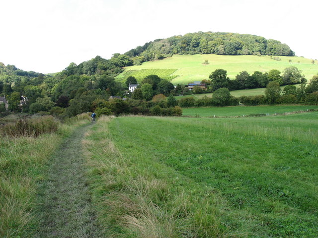
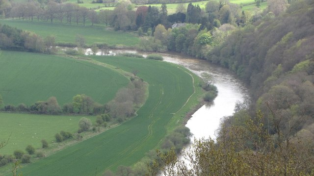
Hewesfield Common is a picturesque area located in the county of Gloucestershire, England. Spread across a vast expanse of rolling hills, it encompasses both downs and moorland, offering a diverse and beautiful natural landscape.
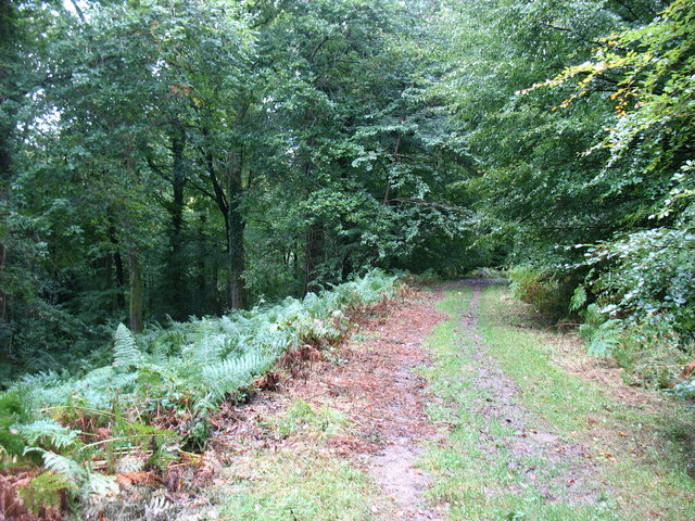
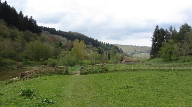
The common is characterized by its undulating terrain, covered in a mixture of grasses, heather, and gorse. The downs, with their gentle slopes, are home to a variety of wildflowers, creating a vibrant and colorful display during the spring and summer months. The moorland, on the other hand, is more rugged, featuring rocky outcrops and patches of bracken.
The common is a haven for wildlife, providing a rich habitat for many species. Visitors can spot a range of bird species, including skylarks and buzzards, soaring above the open skies. The grassy areas are also home to rabbits and hares, often seen darting across the fields. In addition, the moorland supports populations of reptiles, such as adders and common lizards, which can be observed basking in the sun on warm days.
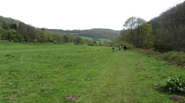
Hewesfield Common is a popular destination for outdoor enthusiasts, offering a range of activities. Hiking trails crisscross the landscape, allowing visitors to explore the area's natural beauty. The expansive views from the downs make it an ideal spot for picnicking or simply enjoying the peaceful surroundings. The common is also frequented by horse riders, who can traverse the bridleways that wind through the moorland.
Overall, Hewesfield Common is a stunning natural area, boasting a unique combination of downs and moorland. Its diverse wildlife and recreational opportunities make it a must-visit location for nature lovers and outdoor enthusiasts alike.
If you have any feedback on the listing, please let us know in the comments section below.
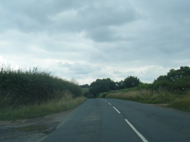
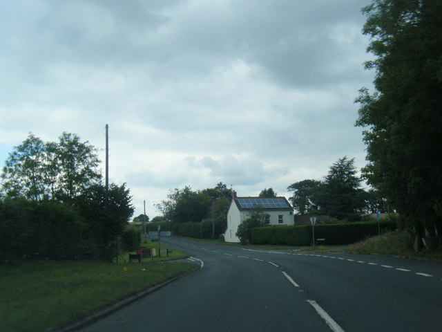
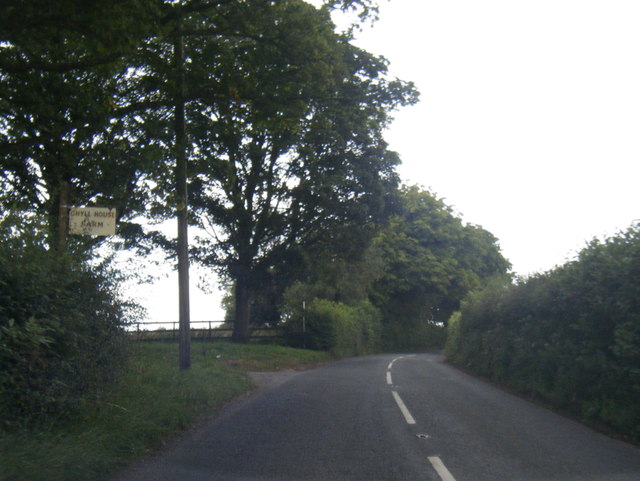
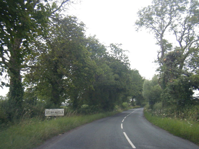
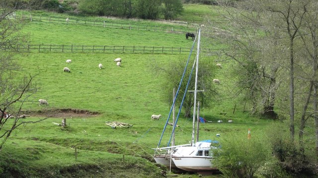
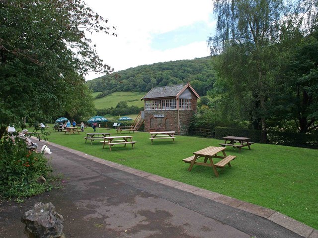
Hewesfield Common Images
Images are sourced within 2km of 51.714884/-2.6565256 or Grid Reference SO5401. Thanks to Geograph Open Source API. All images are credited.


Hewesfield Common is located at Grid Ref: SO5401 (Lat: 51.714884, Lng: -2.6565256)
Administrative County: Gloucestershire
District: Forest of Dean
Police Authority: Gloucestershire
What 3 Words
///images.absent.converged. Near Tintern, Monmouthshire
Nearby Locations
Related Wikis

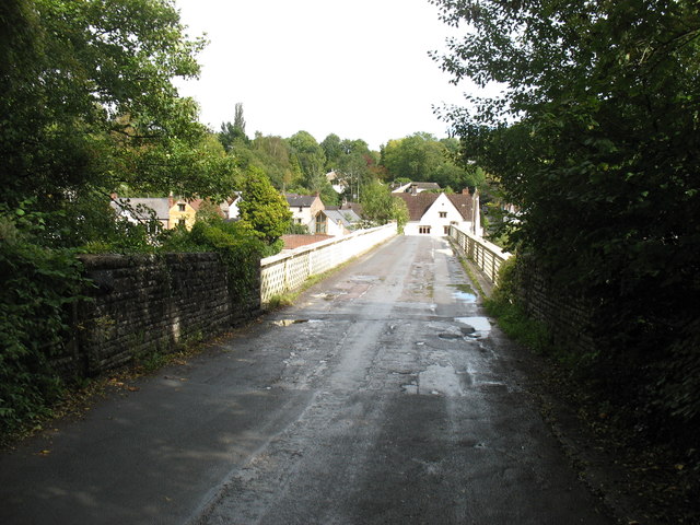
Hewelsfield and Brockweir
Hewelsfield and Brockweir is a civil parish in Forest of Dean District, Gloucestershire. The parish was called Hewelsfield until 1994. It contains two...

Brockweir
Brockweir is a village in Hewelsfield and Brockweir civil parish, in the Forest of Dean District of Gloucestershire, England. The civil parish also includes...

Brockweir Halt railway station
Brockweir Halt was a request stop on the former Wye Valley Railway. It was opened to the public on 19 August 1929. It closed in 1959 when passenger services...

Sylvan House Barn
Sylvan House Barn (grid reference SO534023) is a 0.005-hectare (0.012-acre) stone built barn near the village of St Briavels, in the Forest of Dean, Gloucestershire...

Shorn Cliff and Caswell Woods
Shorn Cliff And Caswell Woods (SO540005 & SO540990) is a 69.2-hectare (171-acre) biological Site of Special Scientific Interest in Gloucestershire, notified...
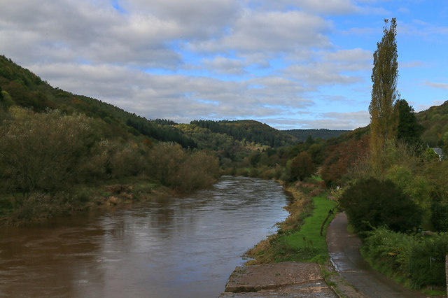
Tintern railway station
Tintern railway station served the village of Tintern on the Wye Valley Railway. It was opened in 1876 and closed for passengers in 1959 and freight in...
Botany Bay, Monmouthshire
Botany Bay, Monmouthshire is an area in the Wye Valley in Wales, above the village of Tintern. It is the location of a Gwent Scouts camp site covering...

The Hudnalls
The Hudnalls (SO533030 & SO540042 & SO545046 ) is a 94.4-hectare (233-acre) biological Site of Special Scientific Interest in Gloucestershire, notified...
Nearby Amenities
Located within 500m of 51.714884,-2.6565256Have you been to Hewesfield Common?
Leave your review of Hewesfield Common below (or comments, questions and feedback).