Queen's Sedge Moor

Downs, Moorland in Somerset Mendip

England

Queen's Sedge Moor

Coxley Vineyard The Somerset Levels are clearly well suited for grapes, not that I like English wine that much. The Mendips can be seen in the background, in particular the Mendip Mast at <a href="https://www.geograph.org.uk/gridref/ST5648">ST5648</a>.
Coxley Vineyard Credit: Graham Richards

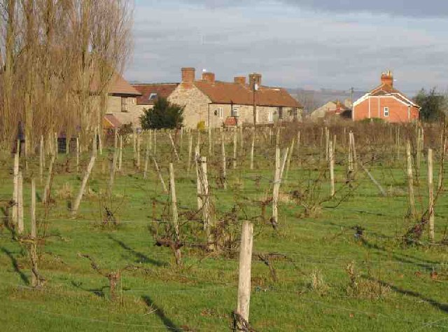
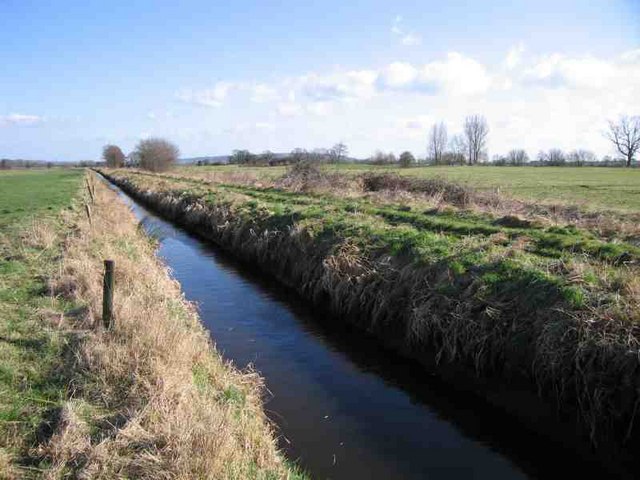
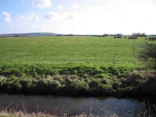
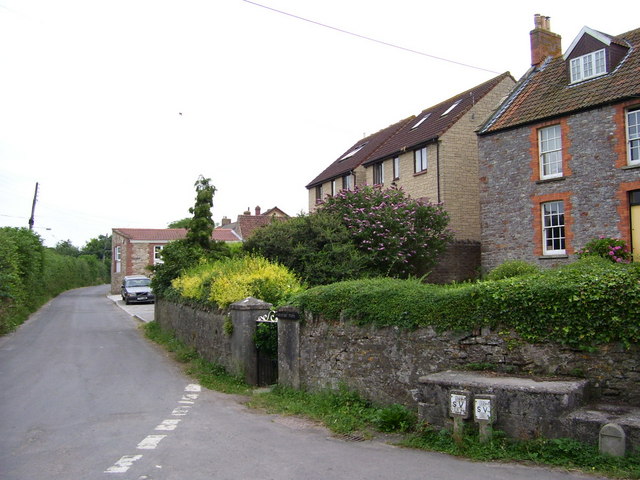
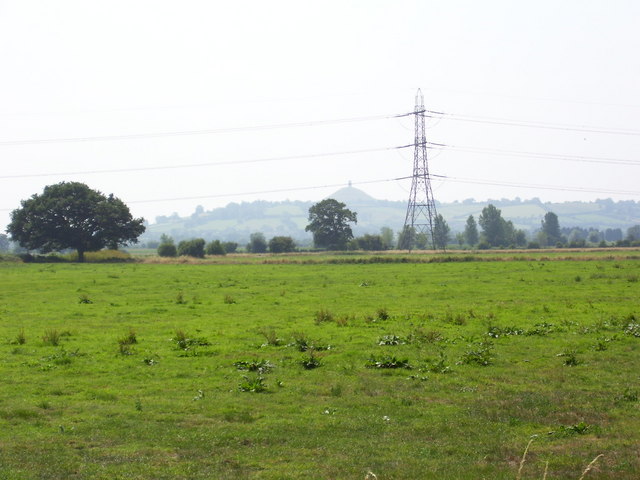
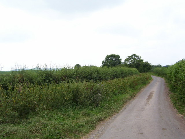
Queen's Sedge Moor is a vast expanse of downs and moorland located in the county of Somerset, England. Spanning over 1,000 acres, this unique landscape is known for its rich biodiversity and stunning natural beauty. The moor is situated in the heart of the Somerset Levels, a low-lying area renowned for its wetland habitats and diverse wildlife.

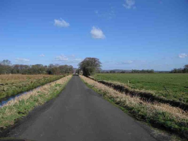
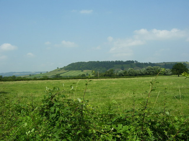
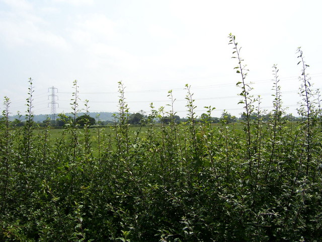
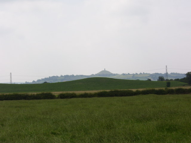
The moorland itself is characterized by rolling hills, heather-covered slopes, and open grasslands interspersed with patches of dense woodland. This varied terrain provides a haven for a wide range of plant and animal species. It is home to several rare and protected species, including the endangered marsh fritillary butterfly and the great crested newt.

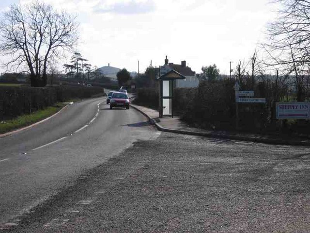
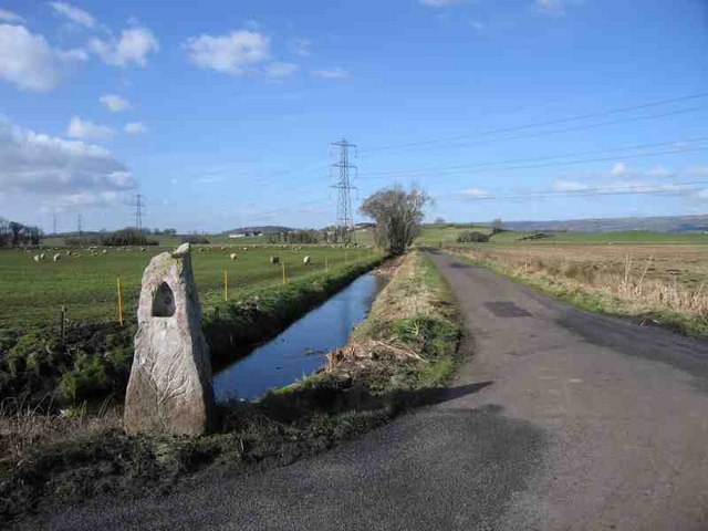
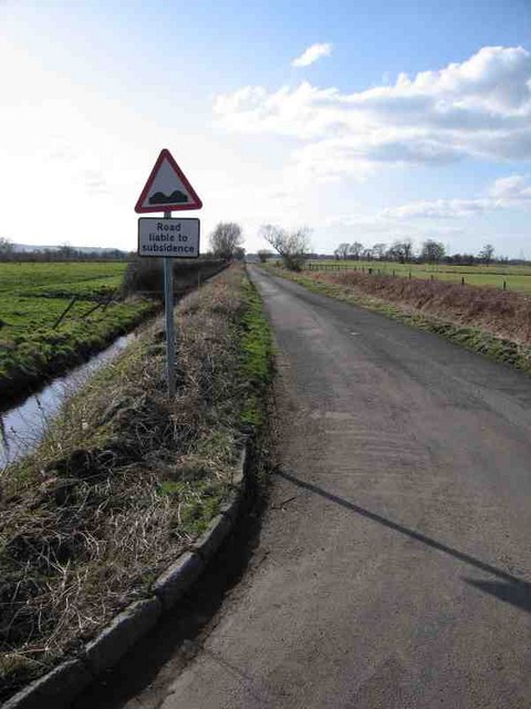
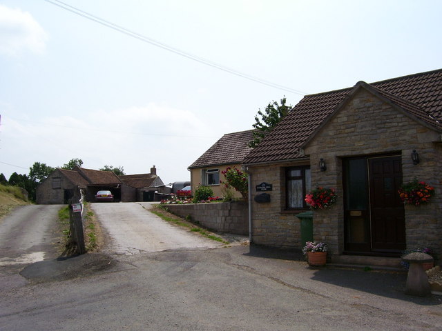
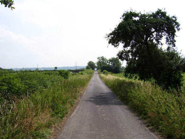
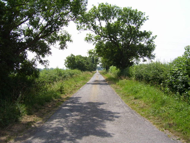
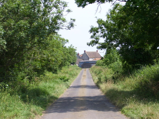
Visitors to Queen's Sedge Moor can explore a network of footpaths and bridleways that crisscross the area, allowing for leisurely walks and horseback riding. The breathtaking views from the higher points of the moor offer a panoramic vista of the surrounding countryside. It is not uncommon to spot grazing livestock, such as sheep and cows, which contribute to the traditional farming practices that have shaped the landscape for centuries.

The moorland also has historical significance, with ancient burial mounds and archaeological remains dating back to the Bronze Age. These remnants serve as a testament to the area's long and rich history.

Queen's Sedge Moor is a popular destination for nature enthusiasts, hikers, and photographers seeking to immerse themselves in the raw beauty of the Somerset countryside. With its diverse flora and fauna, stunning vistas, and historical landmarks, it is a place of tranquility and natural wonder.

If you have any feedback on the listing, please let us know in the comments section below.

Queen's Sedge Moor Images

Images are sourced within 2km of 51.172913/-2.6719122 or Grid Reference ST5341. Thanks to Geograph Open Source API. All images are credited.

Coxley Vineyard The Somerset Levels are clearly well suited for grapes, not that I like English wine that much. The Mendips can be seen in the background, in particular the Mendip Mast at <a href="https://www.geograph.org.uk/gridref/ST5648">ST5648</a>.
Coxley Vineyard
The Somerset Levels are clearly well suited for grapes, not that I like English wine that much. The Mendips can be seen in the background, in particular the Mendip Mast at ST5648.
Road to Glastonbury Looking south towards Glastbury
Road to Glastonbury
Looking south towards Glastbury
Ditch on Queen's Sedge Moor Just another drainage ditch on the levels.
Ditch on Queen's Sedge Moor
Just another drainage ditch on the levels.
Road across Queen's Sedge Moor This road runs straight for 3Km across Queen's Sedge Moor. Look at <a href="https://www.geograph.org.uk/gridref/ST5442">ST5442</a> for the view back!
Road across Queen's Sedge Moor
This road runs straight for 3Km across Queen's Sedge Moor. Look at ST5442 for the view back!
Queen's Sedge Moor
Queen's Sedge Moor
Harter's Hill Harter's Hill is in the background beyond the power lines. The funny little thing in the foreground is some sort of milestone to Wells; it read VI 3-3/4 M.
Harter's Hill
Harter's Hill is in the background beyond the power lines. The funny little thing in the foreground is some sort of milestone to Wells; it read VI 3-3/4 M.
Road across Queen's Sedge Moor Looking back (towards <a href="https://www.geograph.org.uk/gridref/ST5241">ST5241</a>) down the road across Queen's Sedge Moor. The sign warning of road subsidence is too right; and this road was not too bad. Others (with no signs) will throw you in the ditch if you do more than 50mph! If they don't do that they will rip your exhaust off.
Road across Queen's Sedge Moor
Looking back (towards ST5241) down the road across Queen's Sedge Moor. The sign warning of road subsidence is too right; and this road was not too bad. Others (with no signs) will throw you in the ditch if you do more than 50mph! If they don't do that they will rip your exhaust off.
Houses in Upper Coxley View of houses in Upper Coxley
Houses in Upper Coxley
View of houses in Upper Coxley
Houses in Upper Coxley View of houses in Upper Coxley
Houses in Upper Coxley
View of houses in Upper Coxley
Harter's Hill Farm A view of the north face of Harter's Hill Farm.
Harter's Hill Farm
A view of the north face of Harter's Hill Farm.
South to Barrow Farm Looking south on the road from Launcherley Farm to Barrow Farm (New Road?) at its junction with Lovell's Drove.
South to Barrow Farm
Looking south on the road from Launcherley Farm to Barrow Farm (New Road?) at its junction with Lovell's Drove.
Across Queen's Sedge Moor to Glastonbury Tor Taken from the junction of the road from Launcherley Farm to Barrow Farm (New Road?) with Lovell's Drove. Glastonbury Tor can be seen in the distance.
Across Queen's Sedge Moor to Glastonbury Tor
Taken from the junction of the road from Launcherley Farm to Barrow Farm (New Road?) with Lovell's Drove. Glastonbury Tor can be seen in the distance.
Looking southwest down New Road Looking southwest down New Road from its junction with Barrow Lane
Looking southwest down New Road
Looking southwest down New Road from its junction with Barrow Lane
Looking east-south-east down Barrow Lane Looking east-south-east down Barrow Lane from its junction with New Road to Barrow Farm
Looking east-south-east down Barrow Lane
Looking east-south-east down Barrow Lane from its junction with New Road to Barrow Farm
View to the north from Barrow Lane View to the north from the junction of Barrow Lane with New Road showing Launcherley Hill.
View to the north from Barrow Lane
View to the north from the junction of Barrow Lane with New Road showing Launcherley Hill.
View to the south from Barrow Lane View to the south from the junction of Barrow Lane with New Road.
View to the south from Barrow Lane
View to the south from the junction of Barrow Lane with New Road.
Pillmoor Drove Pillmoor Drove looking southwest
Pillmoor Drove
Pillmoor Drove looking southwest
Pill Moor Southwest over Pill Moor; in the middle ground is Harter's hill and in the distance is Glastonbury Tor.
Pill Moor
Southwest over Pill Moor; in the middle ground is Harter's hill and in the distance is Glastonbury Tor.
Show me another place!

Queen's Sedge Moor is located at Grid Ref: ST5341 (Lat: 51.172913, Lng: -2.6719122)

Administrative County: Somerset

District: Mendip

Police Authority: Avon and Somerset

What 3 Words

///shook.repeated.sectors. Near Wells, Somerset

Nearby Locations

Queen's Sedge Moor

Related Wikis

Christ Church, Coxley

Christ Church is a Church of England church in Coxley, Somerset, England. It was built in 1839–40 to the designs of Richard Carver and is a Grade II listed...

Polsham railway station

Polsham was a railway station on the Somerset and Dorset Railway in the village of Polsham, Somerset in England. Opening in December 1861 on the Somerset...

St Cuthbert Out

St Cuthbert Out, sometimes Wells St Cuthbert Out, is a civil parish in the Mendip district of Somerset, England. It entirely surrounds (but does not include...

Oaks of Avalon

The Oaks of Avalon is the collective name given to a pair of ancient oak trees, Gog and Magog, that stand in Glastonbury in Somerset, South West England...

Fenny Castle

Fenny Castle is the remains of a motte and bailey castle in the parish of Wookey, Somerset, England. It is a Scheduled Ancient Monument, but not accessible...

Twinhills Woods and Meadows

Twinhills Woods and Meadows (grid reference ST558432) is a 21.2 hectare (52.4 acre) biological Site of Special Scientific Interest on the Monarch's Way...

Church of St Peter, North Wootton

The Anglican Church of St Peter in North Wootton, Somerset, England was built in the 14th or 15th century. It is a Grade II* listed building. == History... ==

Wells East Somerset railway station

Wells station in the Somerset city of Wells was the terminus of the East Somerset Railway line from Witham and opened when the line was extended from Shepton...

Have you been to Queen's Sedge Moor?

Leave your review of Queen's Sedge Moor below (or comments, questions and feedback).