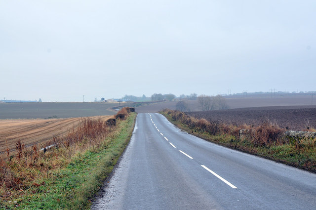
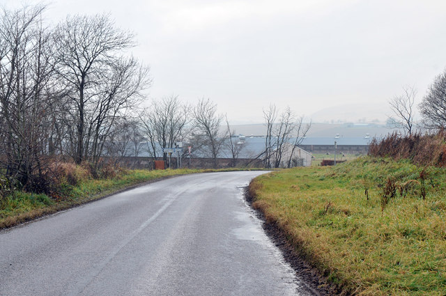
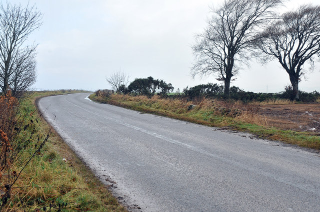
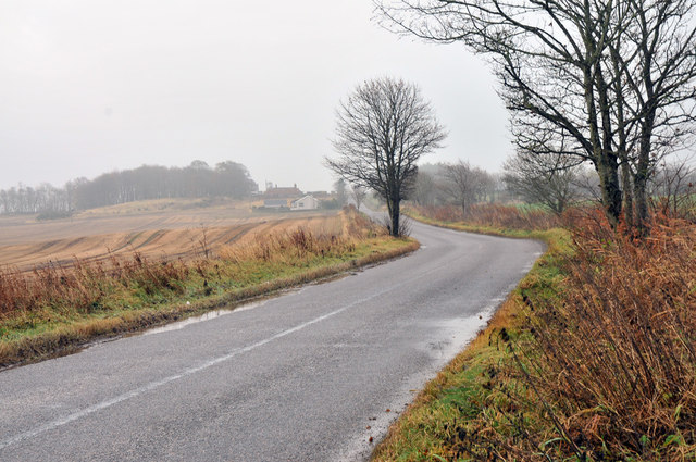
Braehead

Downs, Moorland in Angus

Scotland

Braehead

The Girdlestane A roadside surprise with an illegible signboard behind it. The rock is smooth and grey which would indicate an erratic transported from elsewhere by ice. Then one notices a faint circle inscribed in the stone and also some prehistoric cup marks, so obviously a stone of some significance. In later times it has been used as a parish boundary marker, and one story about its arrival here concerns not a glacier, but a witch who was carrying the stone on her back when the ties broke and the stone fell here. Not quite sure why any witch, strong or otherwise, would want to carry this.
The Girdlestane Credit: Gordon Hatton

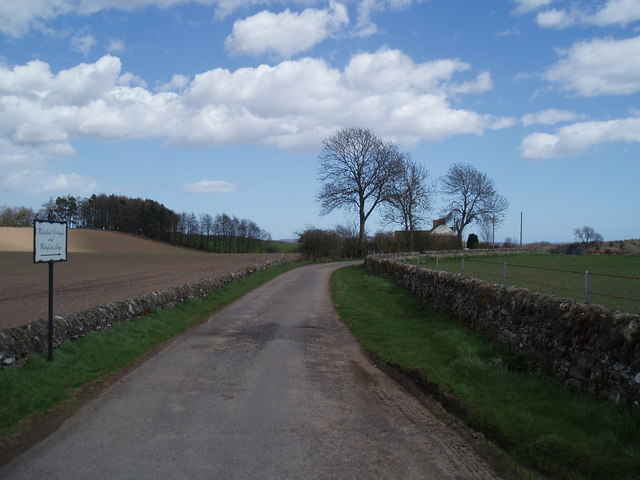
Braehead is a small hamlet located in the county of Angus, Scotland. Situated amidst picturesque downs and moorland, it offers a serene and tranquil environment for residents and visitors alike. The hamlet is nestled in the heart of the Angus Glens, a region renowned for its scenic beauty and outdoor recreational activities.

Braehead is characterized by its rolling hills and open landscapes, providing ample opportunities for hiking, cycling, and birdwatching. The area is dotted with numerous walking trails, allowing nature enthusiasts to explore the surrounding moorland and enjoy breathtaking views of the Angus countryside. The hamlet also boasts a rich wildlife, with species such as red deer, golden eagles, and red grouse often spotted in the vicinity.

Despite its rural setting, Braehead is conveniently located within close proximity to several amenities. The nearby town of Kirriemuir offers a range of shops, restaurants, and leisure facilities, ensuring that residents have access to everyday necessities and entertainment options. Additionally, the city of Dundee is just a short drive away, providing further amenities and cultural attractions.

The community of Braehead is tight-knit, with a friendly and welcoming atmosphere. The hamlet is home to a small number of residents who take pride in their local heritage and traditions. Regular community events and gatherings are held throughout the year, fostering a sense of belonging and camaraderie among the residents.

In conclusion, Braehead in Angus is a charming hamlet nestled amidst downs and moorland. With its stunning natural surroundings, proximity to amenities, and close-knit community, it offers a peaceful and idyllic lifestyle for those seeking a rural retreat in Scotland.

If you have any feedback on the listing, please let us know in the comments section below.
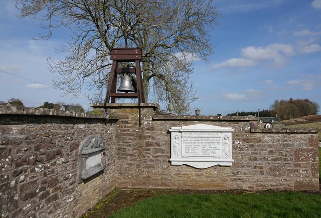
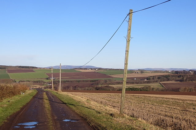
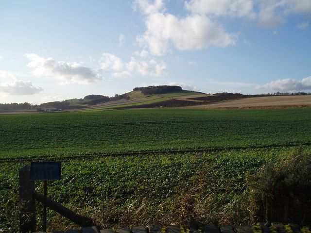
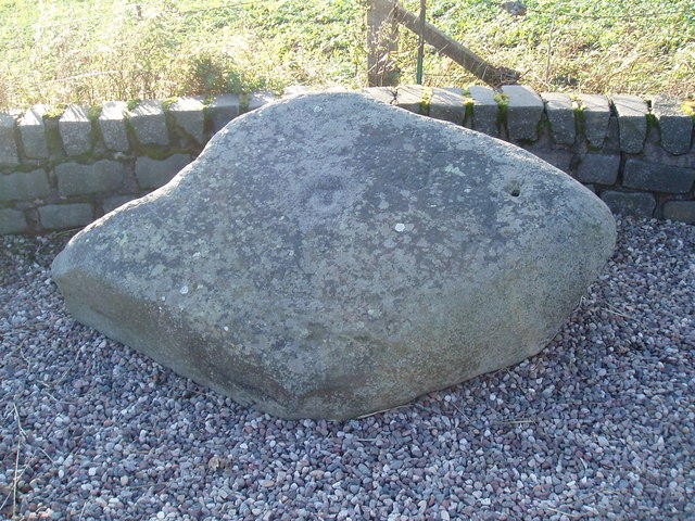
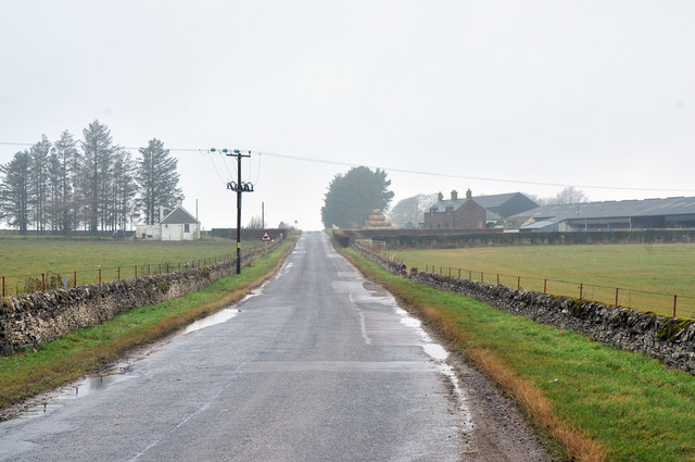
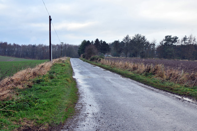
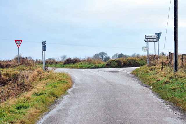
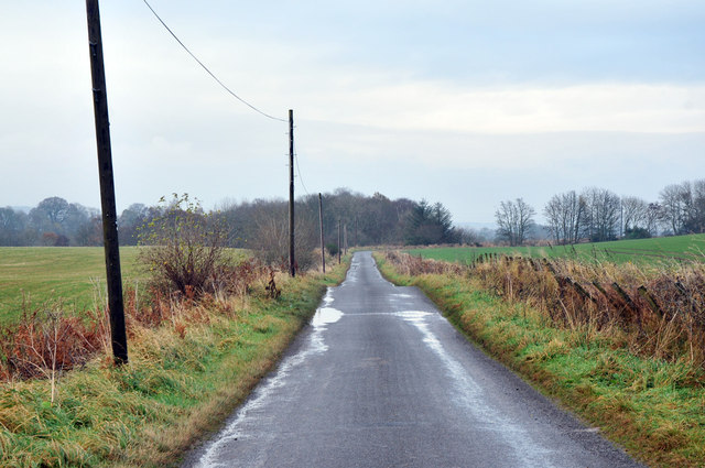
Braehead Images

Images are sourced within 2km of 56.622485/-2.7702351 or Grid Reference NO5248. Thanks to Geograph Open Source API. All images are credited.

The Girdlestane A roadside surprise with an illegible signboard behind it. The rock is smooth and grey which would indicate an erratic transported from elsewhere by ice. Then one notices a faint circle inscribed in the stone and also some prehistoric cup marks, so obviously a stone of some significance. In later times it has been used as a parish boundary marker, and one story about its arrival here concerns not a glacier, but a witch who was carrying the stone on her back when the ties broke and the stone fell here. Not quite sure why any witch, strong or otherwise, would want to carry this.
The Girdlestane
A roadside surprise with an illegible signboard behind it. The rock is smooth and grey which would indicate an erratic transported from elsewhere by ice. Then one notices a faint circle inscribed in the stone and also some prehistoric cup marks, so obviously a stone of some significance. In later times it has been used as a parish boundary marker, and one story about its arrival here concerns not a glacier, but a witch who was carrying the stone on her back when the ties broke and the stone fell here. Not quite sure why any witch, strong or otherwise, would want to carry this.
Kirkden Graveyard Kirkden graveyard situated on the edge of the village of Letham contains graves from as early as 1739 and the bell mounted on the wall belongs to the kirk which was demolished in 1952.
Kirkden Graveyard
Kirkden graveyard situated on the edge of the village of Letham contains graves from as early as 1739 and the bell mounted on the wall belongs to the kirk which was demolished in 1952.
Road to Balgavies and Newmill A farm road signposted as a path.
Road to Balgavies and Newmill
A farm road signposted as a path.
Nechtansmere and Dunnichen Hill In AD 685 the Battle of Nechtansmere took place near this site. The site is disputed and some historians assert that it took place much further north. Irrespective of this dispute the result of the battle brought to an end Northumbrian control in this part of Scotland.
Nechtansmere and Dunnichen Hill
In AD 685 the Battle of Nechtansmere took place near this site. The site is disputed and some historians assert that it took place much further north. Irrespective of this dispute the result of the battle brought to an end Northumbrian control in this part of Scotland.
The Girdlestane A prehistoric cup and ring monument
The Girdlestane
A prehistoric cup and ring monument
Road near Bractullo Mill
Road near Bractullo
Road near Bractullo
Minor road near Gask
Road past Newton of Idvies
Minor road near Idvies Mill
Road junction near Letham
Minor road near Letham
Drummietermont
Drummietermont
Whitefield
Whitefield
Dunnichen Letham and Kirkden Church
Former Church, Letham This former quoad sacra church, Letham, was built about 1830 as a chapel of ease.
Former Church, Letham
This former quoad sacra church, Letham, was built about 1830 as a chapel of ease.
Lane overgrown with grass in Letham
Show me another place!

Braehead is located at Grid Ref: NO5248 (Lat: 56.622485, Lng: -2.7702351)

Unitary Authority: Angus

Police Authority: Tayside

What 3 Words

///gifts.inferior.chugging. Near Letham, Angus

Nearby Locations

Letham Braehead

Related Wikis

Letham, Angus

Letham (Scots pronunciation: [ˈlɛθəm]) is a village in Angus, Scotland. Letham is the largest village in Angus, with a population of nearly 2,000. Situated...

Bowriefauld

Bowriefauld is a village in Angus, Scotland.

Dunnichen

Dunnichen (Scots pronunciation: [dəˈnɪxən]; Scottish Gaelic: Dùn Eachain) is a small village in Angus, Scotland, situated between Letham and Forfar. It...
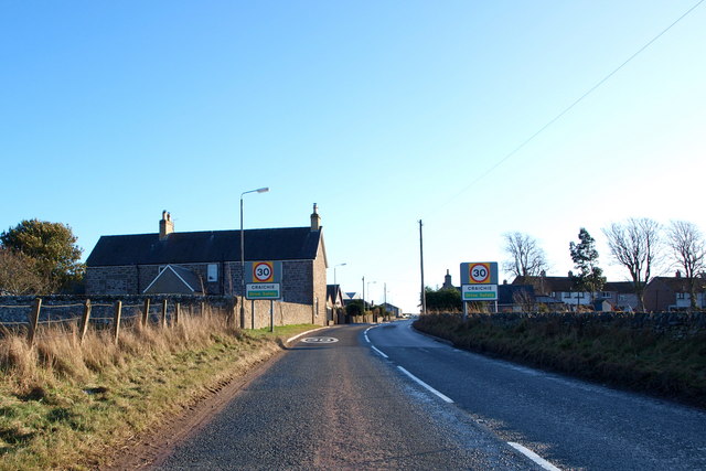
Craichie

Craichie (Scots pronunciation: [ˈkrexe]) is a hamlet in the parish of Dunnichen, Angus, Scotland. Craichie is three miles south-east of Forfar and two...

Nearby Amenities

Located within 500m of 56.622485,-2.7702351
Bus Stop
Letham Primary School
Naptan AtcoCode: 6490IM936
Naptan Bearing: N
Naptan CommonName: Letham Primary School
Naptan Indicator: at School
Naptan Landmark: Letham Primary School
Naptan NaptanCode: 26424867
Naptan Street: Braehead Road
Naptan Verified: no
Source: naptan_import
Lat/Long: 56.6257753/-2.7681222
Entrance: main
Lat/Long: 56.6256326/-2.7681538
Idvies
Place: hamlet
Lat/Long: 56.6195721/-2.766409
TR Services
Shop: car_repair
Lat/Long: 56.6227588/-2.7719257
Bench
Lat/Long: 56.6266763/-2.7714657
Kirkden
Place: isolated_dwelling
Lat/Long: 56.6259658/-2.7651735
Letham
Traffic Sign: city_limit
Traffic Sign Direction: forward
Lat/Long: 56.6219471/-2.7767423
Braehead
Old Name: Braeheads
Place: locality
Lat/Long: 56.6225765/-2.7710811
Power: pole
Lat/Long: 56.6260484/-2.7662082
Power: pole
Lat/Long: 56.6226196/-2.771709
Power: pole
Lat/Long: 56.6221859/-2.7712888
Power: pole
Lat/Long: 56.6216396/-2.7707473
The data included in this document is from www.openstreetmap.org. The data is made available under ODbL.

Have you been to Braehead?

Leave your review of Braehead below (or comments, questions and feedback).