Green Moss

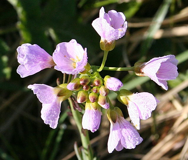
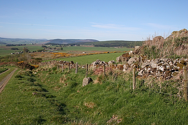
Downs, Moorland in Banffshire

Scotland

Green Moss

Knock Hill summit A modern stone circle at the summit.
Knock Hill a Marilyn at 430m
Knock Hill summit Credit: Ralph Greig

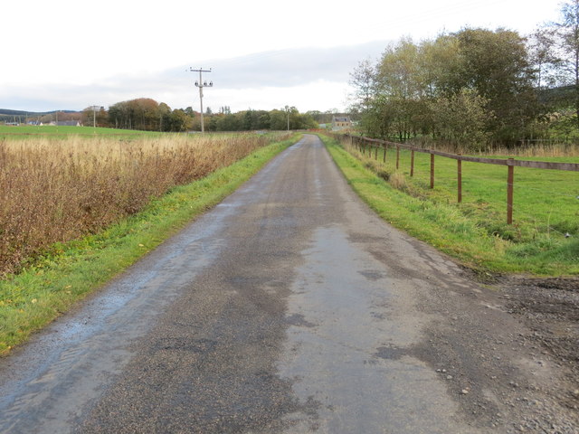
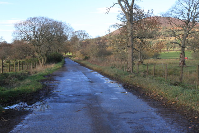
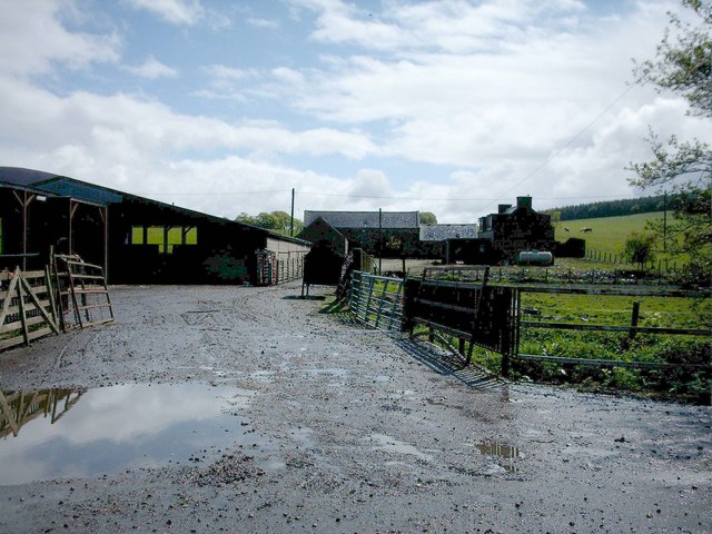
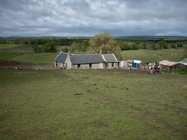
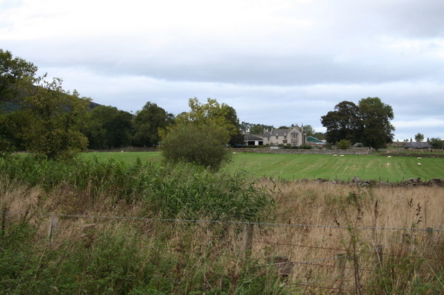
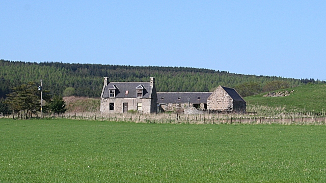
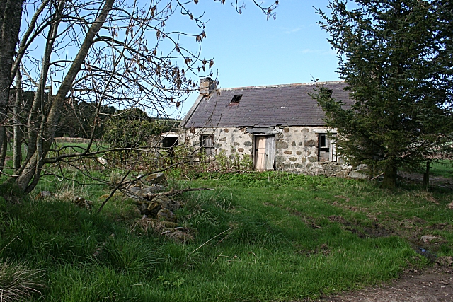
Green Moss is a small hamlet located in the Banffshire region of Scotland. Situated within the stunning landscape of the Downs and Moorland, this picturesque area is known for its lush greenery and breathtaking natural beauty.

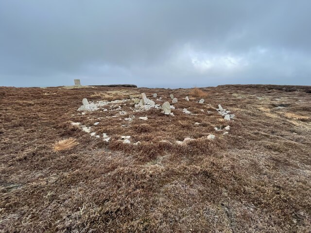
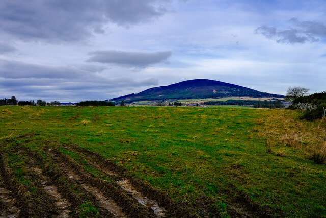
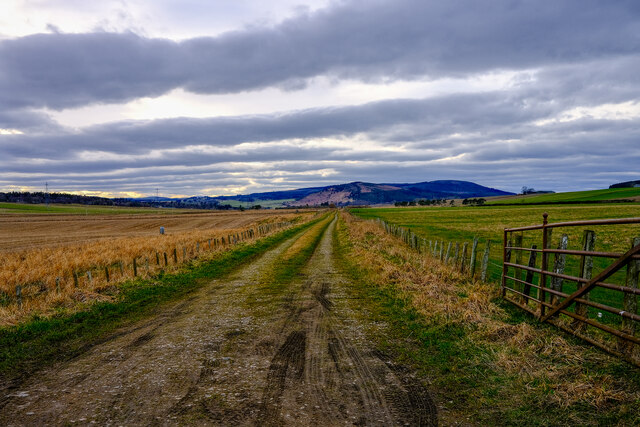
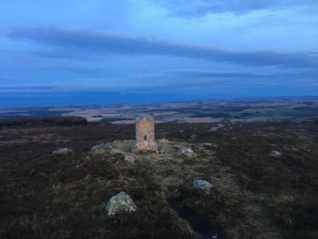
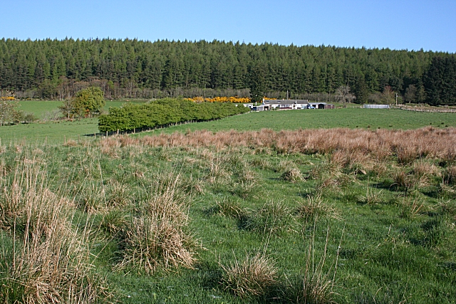
The Downs in Green Moss offer vast stretches of rolling hills and meadows, adorned with vibrant green moss that covers the ground, giving the area its name. The landscape is dotted with scattered trees and shrubs, creating a serene and peaceful ambiance. The Downs provide ample opportunities for outdoor activities such as hiking, walking, and picnicking, allowing visitors to immerse themselves in the tranquility of nature.

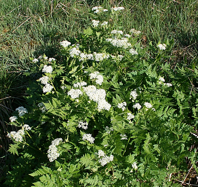
Moorland, on the other hand, offers a distinct landscape characterized by open expanses of heather-covered moors and peat bogs. The moors of Green Moss are renowned for their unique ecosystem, supporting a diverse range of flora and fauna. Visitors can witness the vibrant purple hue of the heather in full bloom during the summer months, creating a breathtaking sight.

Green Moss is also home to a variety of wildlife, including red deer, birds of prey, and various small mammals. It is a haven for nature lovers and birdwatchers, who can spot rare species in their natural habitat.

In addition to its natural beauty, Green Moss is known for its warm and welcoming community. The hamlet offers a few amenities, including a small local store and a cozy pub, where visitors can experience the local hospitality and indulge in traditional Scottish cuisine.

Overall, Green Moss in Banffshire is a hidden gem, offering a peaceful retreat with its stunning Downs and Moorland landscapes, rich biodiversity, and friendly community.

If you have any feedback on the listing, please let us know in the comments section below.

Green Moss Images

Images are sourced within 2km of 57.569937/-2.7937545 or Grid Reference NJ5253. Thanks to Geograph Open Source API. All images are credited.

Knock Hill summit A modern stone circle at the summit.
Knock Hill a Marilyn at 430m
Knock Hill summit
A modern stone circle at the summit. Knock Hill a Marilyn at 430m
Knock Hill Looking over the fields with Knock Hill in the distance
Knock Hill
Looking over the fields with Knock Hill in the distance
Old Railway Line An old railway line now a farm track
Old Railway Line
An old railway line now a farm track
A95 towards Banff
A95 towards Banff
Trig point on Knock Hill
Minor road at Limeburn Looking north-eastward.
Minor road at Limeburn
Looking north-eastward.
Minor road near Knock With Knock Hill behind the trees.
Minor road near Knock
With Knock Hill behind the trees.
A95 near Knock
A95 near Knock
Woodside Farm, Edingight. A muddy farmyard after heavy rain at Woodside Farm.
Woodside Farm, Edingight.
A muddy farmyard after heavy rain at Woodside Farm.
Little Fortry Farm. Small farmhouse and farm looking north west towards Grange.
Little Fortry Farm.
Small farmhouse and farm looking north west towards Grange.
Knock Farm.
Knock Farm.
Only one mile to Sillyearn!
Derelict Farm This farm is marked on all the maps, but it isn't named. There is a notice on the road leading to it saying that there is someone available to take deliveries from carriers, and implying that it is Limehillock House, so perhaps it is going to be restored.
Derelict Farm
This farm is marked on all the maps, but it isn't named. There is a notice on the road leading to it saying that there is someone available to take deliveries from carriers, and implying that it is Limehillock House, so perhaps it is going to be restored.
Derelict Cottage Another of the abandoned cottages which are so numerous around here.
Derelict Cottage
Another of the abandoned cottages which are so numerous around here.
Limehillock Croft The croft land here is the only part of this square not forested.
Limehillock Croft
The croft land here is the only part of this square not forested.
Sweet Cicely (Myrrhis odorata) Also known as myrrh, it is easily recognised by the liquorice smell of its crushed leaves.
Sweet Cicely (Myrrhis odorata)
Also known as myrrh, it is easily recognised by the liquorice smell of its crushed leaves.
Lady's Smock or Cuckoo Flower (Cardamine pratensis) This plant of damp places is the favourite food plant of the Orange Tip butterfly.
Lady's Smock or Cuckoo Flower (Cardamine pratensis)
This plant of damp places is the favourite food plant of the Orange Tip butterfly.
Boulder dyke The dykes around Knock Hill are built of unusually large boulders, presumably from the surrounding fields.
Boulder dyke
The dykes around Knock Hill are built of unusually large boulders, presumably from the surrounding fields.
Show me another place!

Green Moss is located at Grid Ref: NJ5253 (Lat: 57.569937, Lng: -2.7937545)

Unitary Authority: Moray

Police Authority: North East

What 3 Words

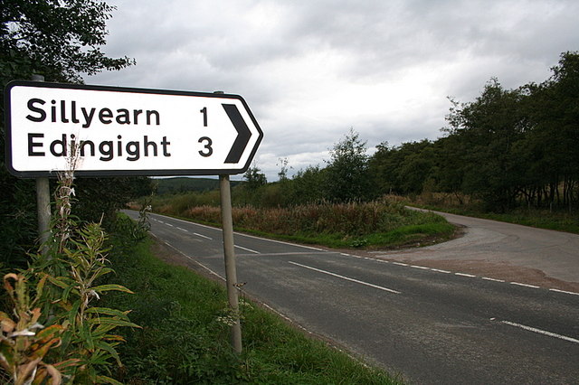
///arrives.clasping.icebergs. Near Keith, Moray

Nearby Locations

Green Moss

Related Wikis

Knock railway station (Scotland)

Knock railway station was an intermediate stop situated on the Great North of Scotland Railway (GNoSR) line from Grange and Cairnie Junction to Tillynaught...
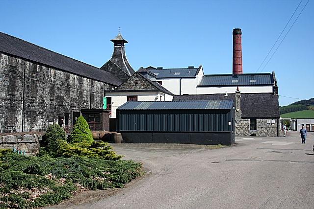
Knockdhu distillery

Knockdhu distillery is a whisky distillery situated in Knock, Banffshire and owned by Inver House Distillers Limited. == History == The distillery was...

Millegin railway station

Millegin railway station, Millagan railway station or later Millegin Siding was briefly an intermediate stop situated on what became the Great North of...

Farmtown

Farmtown is a village in the Moray council area of Scotland. Farmtown lies on the junction of the A95 and B9117 roads east of the town of Keith.

Glenbarry railway station

Glenbarry railway station, previously known as Barry was an intermediate stop with a passing loop situated on the Great North of Scotland Railway (GNoSR...

Grange, Moray

Grange is a parish in the Scottish county of Banffshire that dates back to a royal charter granting the lands to the abbots and monks of Kinloss in 1196...

Grange railway station (Scotland)

Grange railway station was a railway station in the parish of Grange, historically in Banffshire (although currently in Moray). Opened in 1856 by the...

Cairnie Junction railway station

Cairnie Junction railway station served the village of Cairnie, Aberdeenshire, Scotland from 1898 to 1968 on the Great North of Scotland Railway. ��2...

Nearby Amenities

Located within 500m of 57.569937,-2.7937545
Power: pole
Lat/Long: 57.5727986/-2.7906493
Power: pole
Lat/Long: 57.5730497/-2.7918
Power: pole
Lat/Long: 57.5732662/-2.7928618
Power: pole
Lat/Long: 57.573487/-2.7938388
Power: pole
Lat/Long: 57.5738262/-2.7933259
Power: pole
Lat/Long: 57.5734935/-2.7898576
Power: pole
Lat/Long: 57.572996/-2.789778
Power: pole
Lat/Long: 57.572621/-2.7897287
Power: pole
Lat/Long: 57.5722033/-2.7897041
Power: pole
Lat/Long: 57.5715691/-2.7896226
Power: pole
Lat/Long: 57.5709141/-2.7895401
Power: pole
Lat/Long: 57.5702585/-2.7894662
Power: pole
Lat/Long: 57.5696853/-2.7893923
Power: pole
Lat/Long: 57.5690307/-2.7893013
Power: pole
Lat/Long: 57.5683609/-2.7892217
Power: pole
Lat/Long: 57.5677022/-2.789144
Power: pole
Lat/Long: 57.5674817/-2.7891042
Power: pole
Lat/Long: 57.5670141/-2.7890568
Power: pole
Lat/Long: 57.5663656/-2.7889829
Power: pole
Lat/Long: 57.5658782/-2.7902386
Power: pole
Lat/Long: 57.5661201/-2.7896795
Power: pole
Lat/Long: 57.5666497/-2.7882182
Power: pole
Lat/Long: 57.5741085/-2.7929553
Power: pole
Lat/Long: 57.5731251/-2.7944169
Power: pole
Lat/Long: 57.5726089/-2.7951896
The data included in this document is from www.openstreetmap.org. The data is made available under ODbL.

Have you been to Green Moss?

Leave your review of Green Moss below (or comments, questions and feedback).