Hummelknowes Moss

Downs, Moorland in Roxburghshire

Scotland

Hummelknowes Moss

Waymarks near Vertish Hill, Hawick Nan Lyle (1929 - 2010) has been commemorated by a walk to a cairn on Whitchesters Hill to the southwest of Hawick, shown in Walter Baxter's photograph <a href="https://www.geograph.org.uk/photo/2509398">NT4610 : The Nan Lyle memorial cairn on Whitchesters Hill</a>. For further information please see the leaflet available at <span class="nowrap"><a title="http://www.nan-lyle.org/images/Nan-Lyle-Walk-leaflet.pdf" rel="nofollow ugc noopener" href="http://www.nan-lyle.org/images/Nan-Lyle-Walk-leaflet.pdf">Link</a><img style="margin-left:2px;" alt="External link" title="External link - shift click to open in new window" src="https://s1.geograph.org.uk/img/external.png" width="10" height="10"/></span>.
Waymarks near Vertish Hill, Hawick Credit: Jim Barton

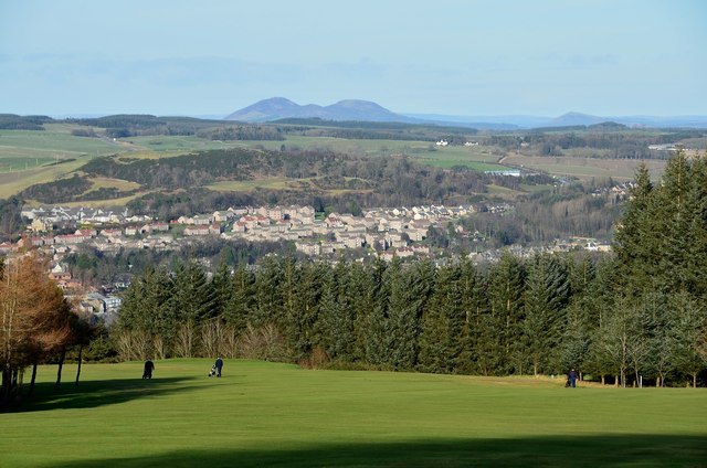
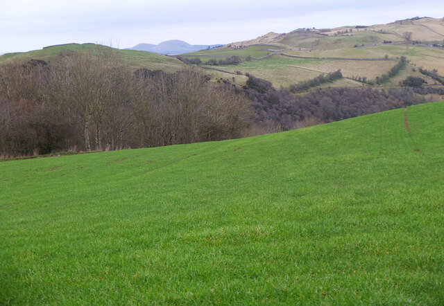
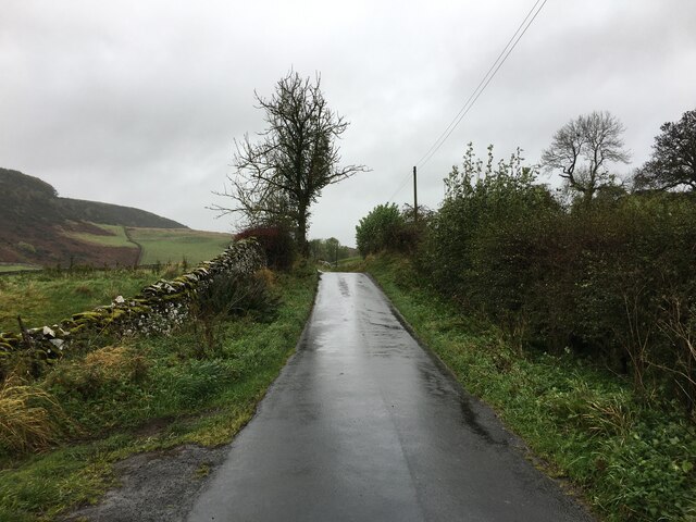
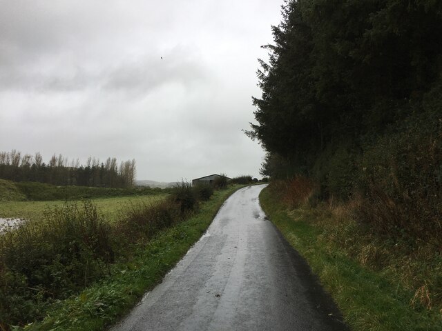
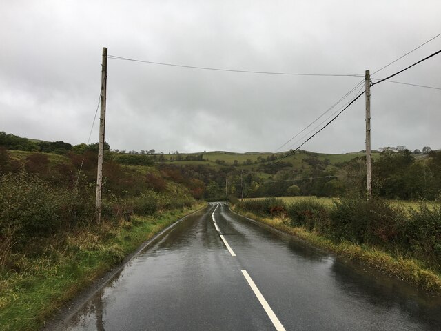
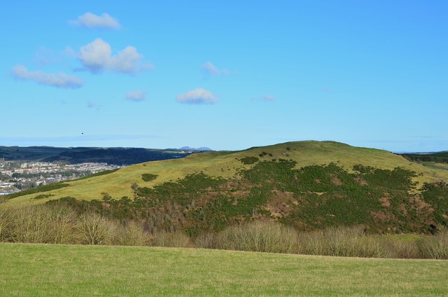
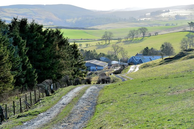
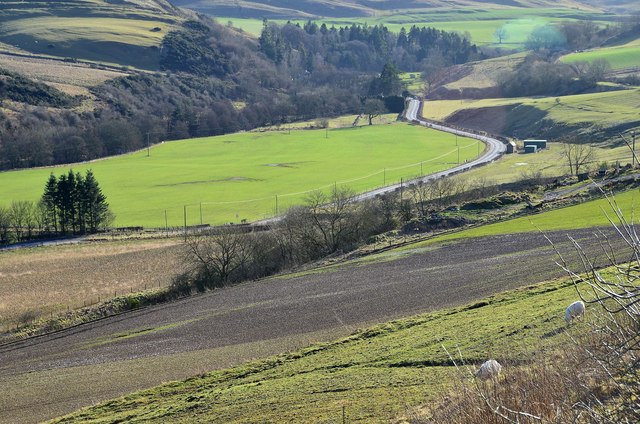
Hummelknowes Moss, located in Roxburghshire, is a picturesque expanse of downs and moorland in the Scottish Borders region. Covering an area of approximately 50 hectares, this natural site offers visitors a stunning and diverse landscape.

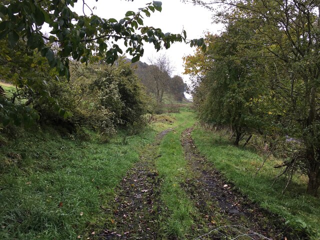
The moss is characterized by gently rolling hills covered with heather, grasses, and scattered shrubs. It is home to a wide variety of plant species, including several types of sphagnum moss, cotton grass, and bog myrtle. These plants thrive in the wet and acidic conditions of the moss, creating a vibrant and colorful display during the warmer months.

The site is also notable for its rich biodiversity. The moss provides a habitat for numerous bird species, such as curlews, lapwings, and skylarks, which can be observed soaring above the open moorland. In addition, the wetlands attract various water-loving creatures, including frogs, newts, and dragonflies.

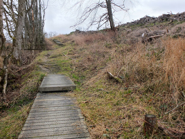
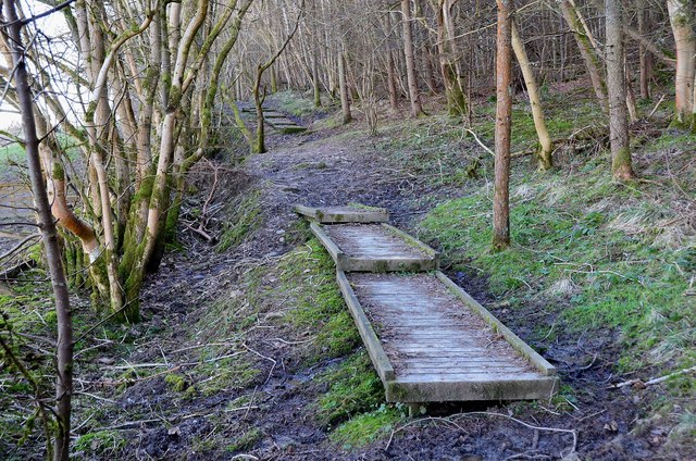
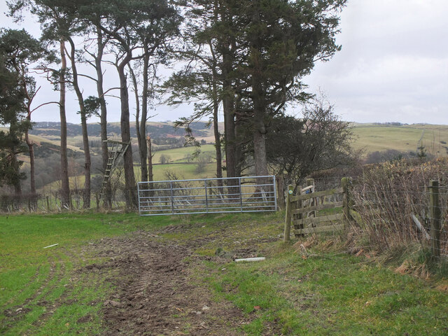
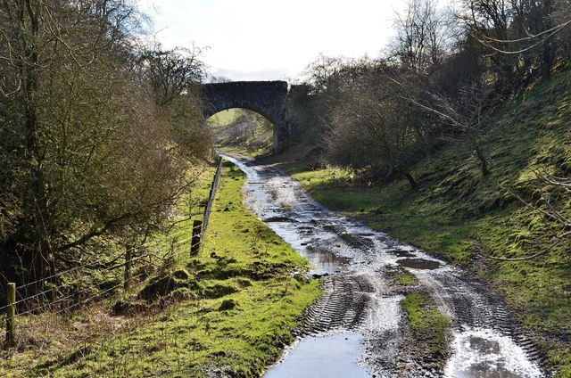
Hummelknowes Moss is a popular destination for nature enthusiasts and walkers, offering several trails that allow visitors to explore its natural beauty. The peaceful and serene atmosphere makes it an ideal location for those seeking tranquility and a connection with nature.

Conservation efforts have been made to protect this valuable ecosystem, ensuring the preservation of its unique flora and fauna. The moss serves as an important carbon sink, contributing to the fight against climate change.

Overall, Hummelknowes Moss in Roxburghshire is a remarkable natural site, showcasing the beauty and biodiversity of downs and moorland landscapes in the Scottish countryside.

If you have any feedback on the listing, please let us know in the comments section below.

Hummelknowes Moss Images

Images are sourced within 2km of 55.405222/-2.7670655 or Grid Reference NT5112. Thanks to Geograph Open Source API. All images are credited.

Waymarks near Vertish Hill, Hawick Nan Lyle (1929 - 2010) has been commemorated by a walk to a cairn on Whitchesters Hill to the southwest of Hawick, shown in Walter Baxter's photograph <a href="https://www.geograph.org.uk/photo/2509398">NT4610 : The Nan Lyle memorial cairn on Whitchesters Hill</a>. For further information please see the leaflet available at <span class="nowrap"><a title="http://www.nan-lyle.org/images/Nan-Lyle-Walk-leaflet.pdf" rel="nofollow ugc noopener" href="http://www.nan-lyle.org/images/Nan-Lyle-Walk-leaflet.pdf">Link</a><img style="margin-left:2px;" alt="External link" title="External link - shift click to open in new window" src="https://s1.geograph.org.uk/img/external.png" width="10" height="10"/></span>.
Waymarks near Vertish Hill, Hawick
Nan Lyle (1929 - 2010) has been commemorated by a walk to a cairn on Whitchesters Hill to the southwest of Hawick, shown in Walter Baxter's photograph NT4610 : The Nan Lyle memorial cairn on Whitchesters Hill. For further information please see the leaflet available at LinkExternal link.
Path skirting Vertish Hill, Hawick Boardwalks on the path contouring the hill towards Flex farm. Compare with <a href="https://www.geograph.org.uk/photo/3319598">NT4913 : Boardwalk in Whitlaw Wood</a> (2013) before the woodland to the right was felled.
Path skirting Vertish Hill, Hawick
Boardwalks on the path contouring the hill towards Flex farm. Compare with NT4913 : Boardwalk in Whitlaw Wood (2013) before the woodland to the right was felled.
Boardwalk in Whitlaw Wood Boards across some muddy stretches of this path through the woodland on the steep hillside above the Slitrig Water.
Boardwalk in Whitlaw Wood
Boards across some muddy stretches of this path through the woodland on the steep hillside above the Slitrig Water.
Minor road to Williestruther Loch The house on the left is by the entrance to Flex House.
Minor road to Williestruther Loch
The house on the left is by the entrance to Flex House.
Summit reservoir, Vertish Hill A Scottish Water installation, presumably a reservoir tank, on the summit of the hill.
Summit reservoir, Vertish Hill
A Scottish Water installation, presumably a reservoir tank, on the summit of the hill.
A golf course with a view, Hawick On Vertish Hill looking across the town to the Eildon Hills with Black Hill to the right.
A golf course with a view, Hawick
On Vertish Hill looking across the town to the Eildon Hills with Black Hill to the right.
Hill pasture and Whitlaw Wood Hill pasture with Hardie's Hill across the valley of the Slitrig Water and the Minto Hills on the skyline.
Hill pasture and Whitlaw Wood
Hill pasture with Hardie's Hill across the valley of the Slitrig Water and the Minto Hills on the skyline.
Field corner near Flex farm A waymarked field edge path meets the track to Flex; note the high seat for deer shooting.
Field corner near Flex farm
A waymarked field edge path meets the track to Flex; note the high seat for deer shooting.
Sheep at Flex farm Sheep at this hill farm south of Hawick.
Sheep at Flex farm
Sheep at this hill farm south of Hawick.
Minor road near Ormiston
Minor road near Hawick
Path near Hummelknowe Bridge
B6399 towards Hawick
Wellogate Farm, Hawick
Hardie's Hill Seen from the hill pasture near Whitlaw Wood. The Eildon Hills are peeping above the horizon, centre.
Hardie's Hill
Seen from the hill pasture near Whitlaw Wood. The Eildon Hills are peeping above the horizon, centre.
The track to Flex A track down to Flex farm and the minor road to Williestruther Loch.
The track to Flex
A track down to Flex farm and the minor road to Williestruther Loch.
Valley of the Slitrig Water The B6399 road follows the Slitrig valley south from Hawick, which was also the route used by the Waverley railway line on its way to Carlisle. The viewpoint is on the track down to Flex farm.
Valley of the Slitrig Water
The B6399 road follows the Slitrig valley south from Hawick, which was also the route used by the Waverley railway line on its way to Carlisle. The viewpoint is on the track down to Flex farm.
Bridge over the former Waverley railway line A farm track bridge near Flex on the route of the Waverley Line in the valley of the Slitrig Water.
Bridge over the former Waverley railway line
A farm track bridge near Flex on the route of the Waverley Line in the valley of the Slitrig Water.
Show me another place!

Hummelknowes Moss is located at Grid Ref: NT5112 (Lat: 55.405222, Lng: -2.7670655)

Unitary Authority: The Scottish Borders

Police Authority: The Lothians and Scottish Borders

What 3 Words

///blotting.calibrate.lively. Near Hawick, Scottish Borders

Related Wikis

Slitrig Water

Slitrig Water (archaic Scots: Slitterick Waiter; current Southern Scots: Slitrig Witter), also known as the River Slitrig, is a river in the Scottish Borders...

Hawick

Hawick ( HOYK; Scots: Haaick; Scottish Gaelic: Hamhaig) is a town in the Scottish Borders council area and historic county of Roxburghshire in the east...

Hawick Town Hall

Hawick Town Hall is a municipal building in the High Street, Hawick, Scotland. The structure, which served as the meeting place of Hawick Burgh Council...

Hawick High School

Hawick High School is a non-denominational secondary school in Hawick, in the Scottish Borders. As well as serving the town, it also takes in pupils from...
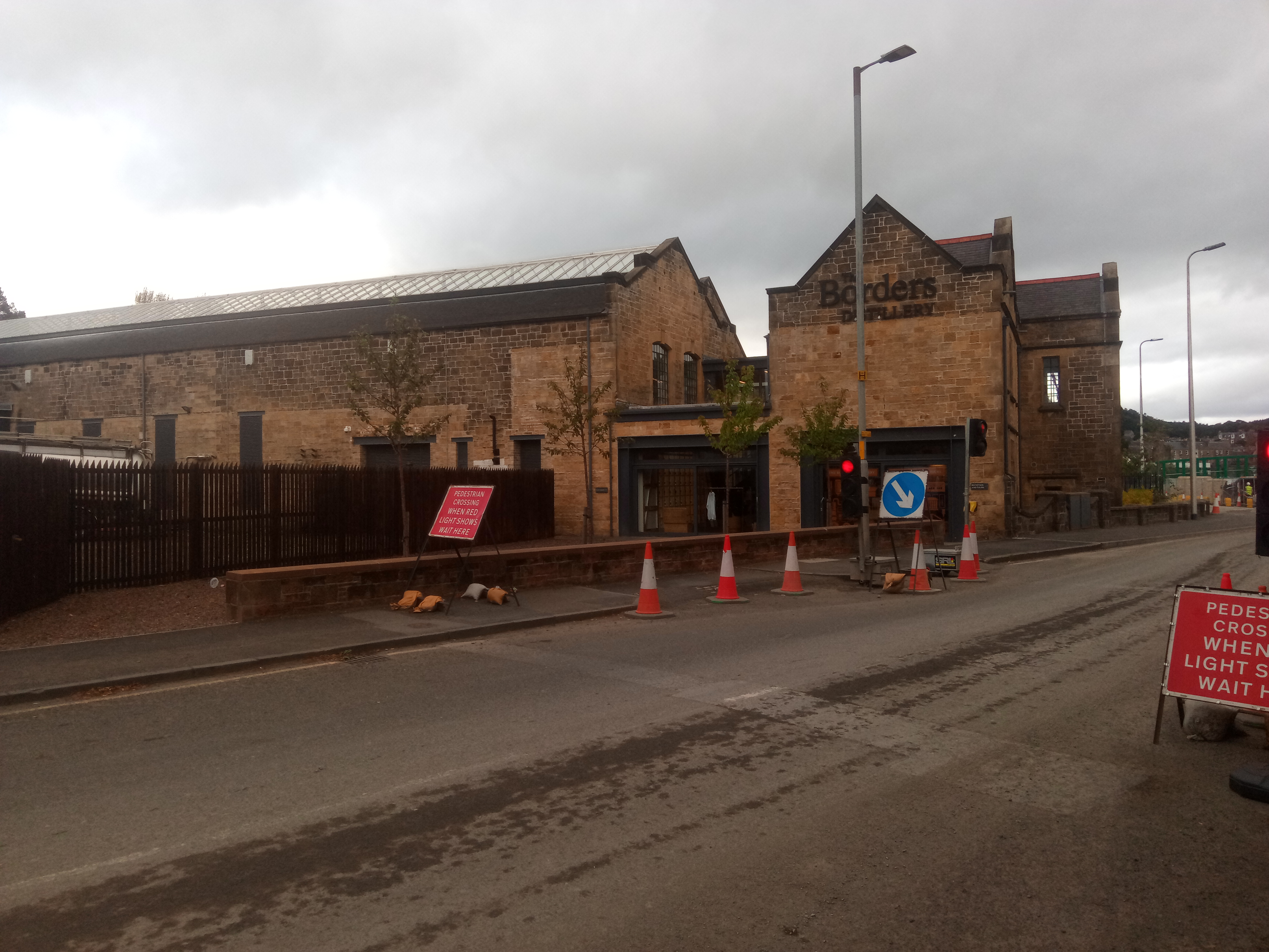
Borders distillery

The Borders distillery, is a malt whisky, gin and vodka production facility in the Scottish Borders town of Hawick. The distillery produces malt whisky...

Hawick Cottage Hospital

Hawick Cottage Hospital was a health facility at Buccleuch Road in Hawick, Scotland. It was managed by NHS Borders. It is a Category B listed building...

Hawick Community Hospital

Hawick Community Hospital is a health facility at Victoria Road in Hawick, Scotland. It is managed by NHS Borders. == History == The hospital was commissioned...

Kirkton, Scottish Borders

Kirkton is a village in the Scottish Borders area of Scotland, off the A6088, near Hawick. Grid Ref. NT5413. It is a former parish, amalgamated into the...

Nearby Amenities

Located within 500m of 55.405222,-2.7670655
The data included in this document is from www.openstreetmap.org. The data is made available under ODbL.

Have you been to Hummelknowes Moss?

Leave your review of Hummelknowes Moss below (or comments, questions and feedback).