Bannisdale Fell
Downs, Moorland in Westmorland South Lakeland
England
Bannisdale Fell
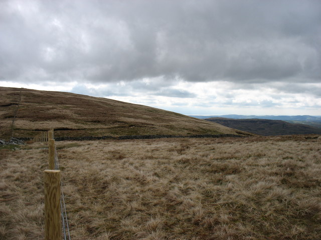
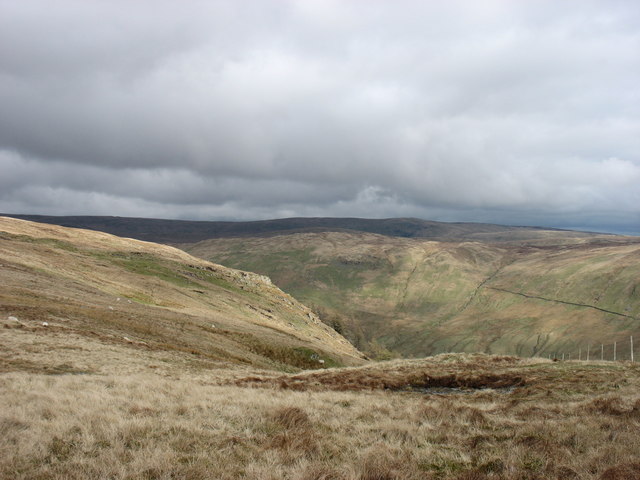
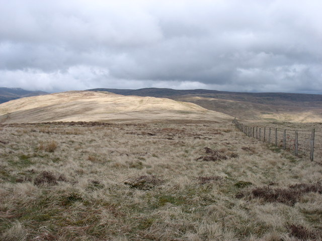
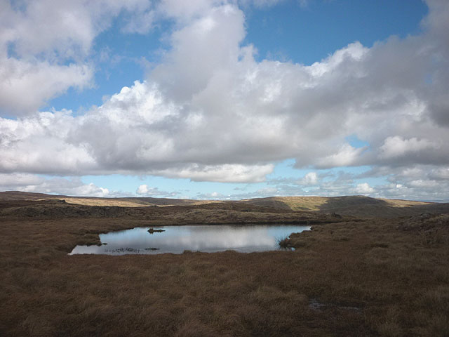
Bannisdale Fell, located in Westmorland, England, is a stunning area characterized by its diverse landscapes, encompassing downs, moorland, and fells. Situated in the Lake District National Park, it offers breathtaking views and a tranquil environment for visitors to explore.
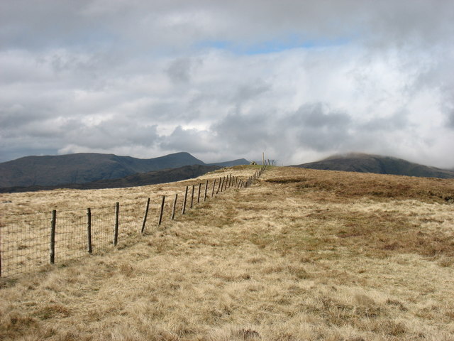
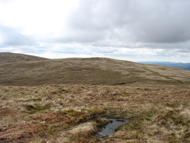
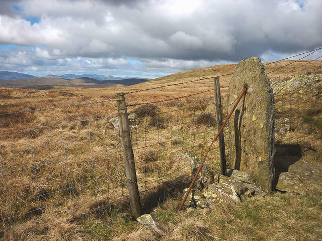
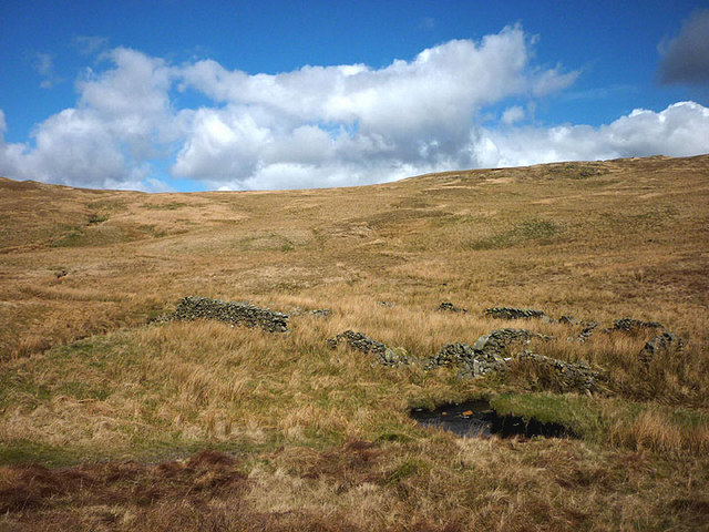
The fell is known for its rolling hills and open grasslands. The downs present a picturesque scene, with lush greenery and scattered wildflowers during the summer months. It is a haven for wildlife enthusiasts, as various bird species, including curlews and red grouse, can be spotted here.
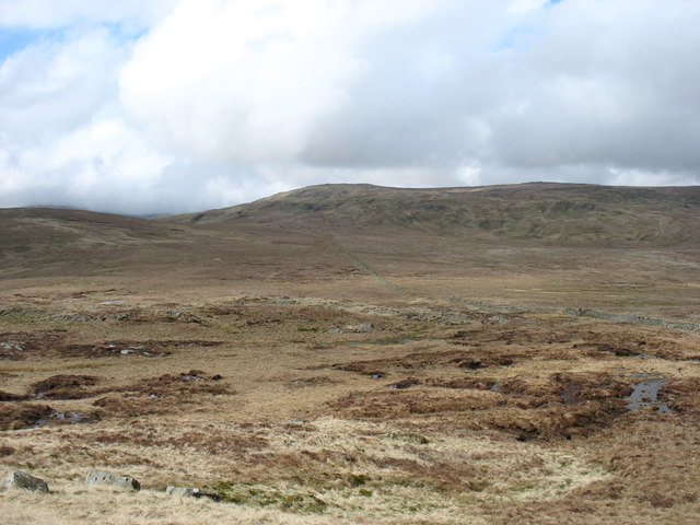
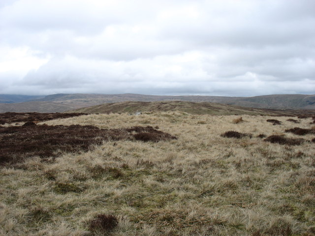
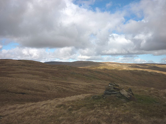
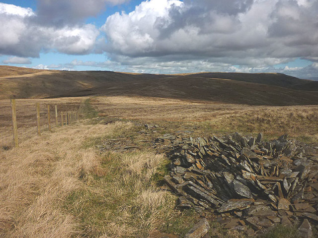
Moving towards the moorland, visitors can immerse themselves in a more rugged and wild terrain. The moorland is covered in heather and bracken, providing a rich habitat for a variety of flora and fauna. It is not uncommon to encounter grazing sheep and herds of deer while traversing the area.
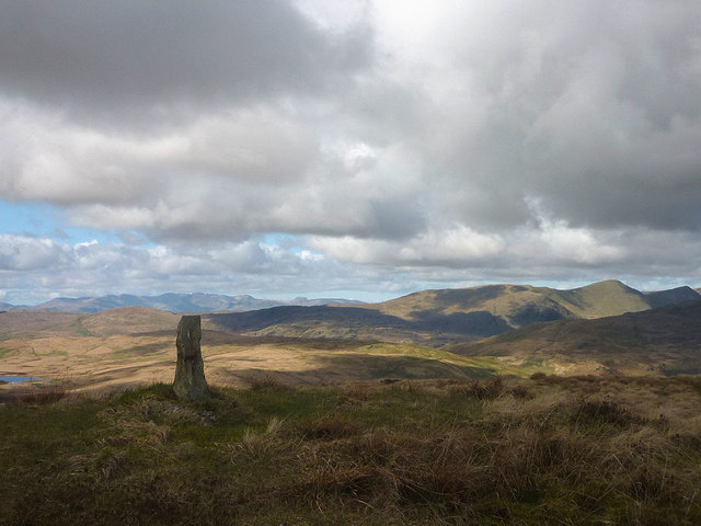
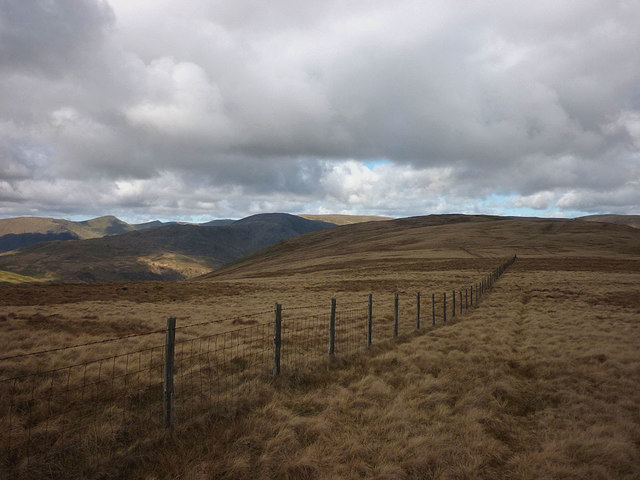
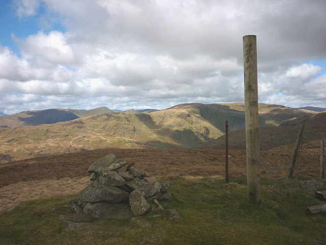
Several walking trails and footpaths crisscross Bannisdale Fell, offering visitors the opportunity to explore its beauty at their own pace. These paths provide access to the fell's highest point, where panoramic views of the surrounding countryside, including the nearby Lake District mountains, can be admired. The fell is also intersected by Bannisdale Beck, a small river that adds to the area's charm.
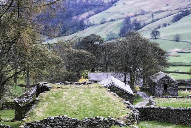
Bannisdale Fell is a paradise for outdoor enthusiasts, providing ample opportunities for hiking, birdwatching, and photography. Its unspoiled landscapes, diverse ecosystems, and captivating vistas make it a must-visit destination for those seeking a peaceful and immersive experience in the heart of Westmorland.
If you have any feedback on the listing, please let us know in the comments section below.
Bannisdale Fell Images
Images are sourced within 2km of 54.437006/-2.7566607 or Grid Reference NY5104. Thanks to Geograph Open Source API. All images are credited.


Bannisdale Fell is located at Grid Ref: NY5104 (Lat: 54.437006, Lng: -2.7566607)
Administrative County: Cumbria
District: South Lakeland
Police Authority: Cumbria
What 3 Words
///underline.desktop.specifies. Near Staveley, Cumbria
Nearby Locations
Related Wikis

Longsleddale
Longsleddale () is a valley and civil parish in the South Lakeland district of Cumbria, England. It includes the hamlet of Sadgill. The parish has a population...

Crookdale Horseshoe
The Crookdale Horseshoe is a group of hills on the eastern edge of the English Lake District, in Cumbria, west of the A6 road. They are the subject of...

Grey Crag
Grey Crag is a fell in the English Lake District. It stands to the east of Longsleddale in the Far Eastern Fells. == Topography == North of Sadgill, the...

Sadgill
Sadgill is a hamlet in Longsleddale, Cumbria, England. It is a divided settlement, also containing Low Sadgill. == References ==

River Sprint
The River Sprint is a river in Cumbria, England with its source high up on the south-facing side of Harter Fell. It flows into the River Kent just to...

Tarn Crag (Far Eastern Fells)
Tarn Crag is a fell in the English Lake District. It stands to the east of Longsleddale in the Far Eastern Fells. == Topography == North of Sadgill, the...

Bannisdale Horseshoe
The Bannisdale Horseshoe is an upland area in Cumbria, England, near the eastern boundary of the Lake District National Park, surrounding the valley of...

Lowbridge Estate
The Lowbridge Estate is a country estate of approximately 2000 acres in the Lake District region of England that was in the continuous ownership of the...
Nearby Amenities
Located within 500m of 54.437006,-2.7566607Have you been to Bannisdale Fell?
Leave your review of Bannisdale Fell below (or comments, questions and feedback).