Blackcraig Moss

Downs, Moorland in Roxburghshire

Scotland

Blackcraig Moss

Groundistone Moss Dawn on the A7 with an old alignment of the road in the foreground.
Groundistone Moss Credit: Richard Webb

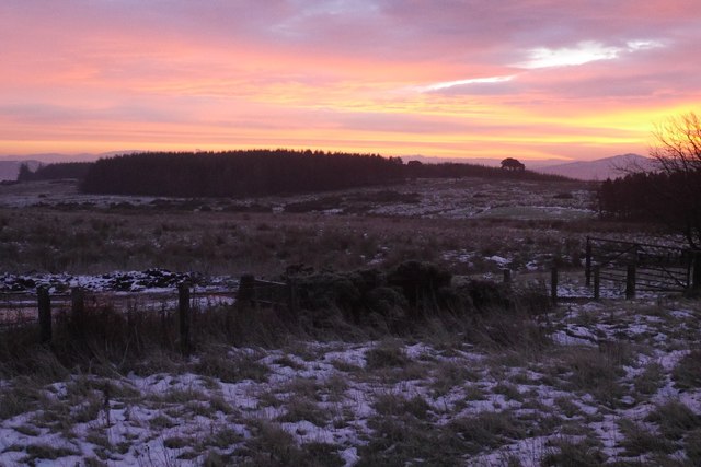
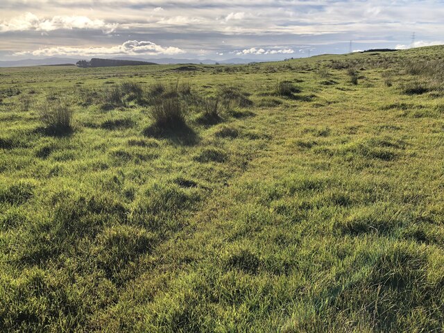
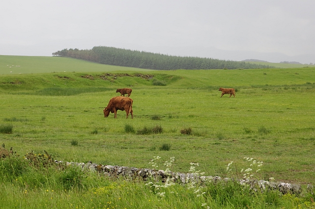
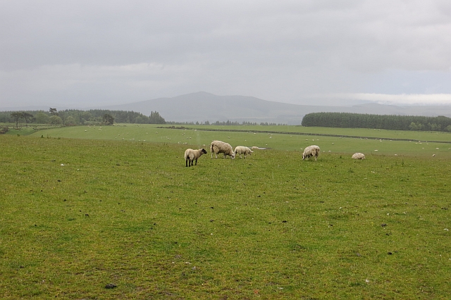
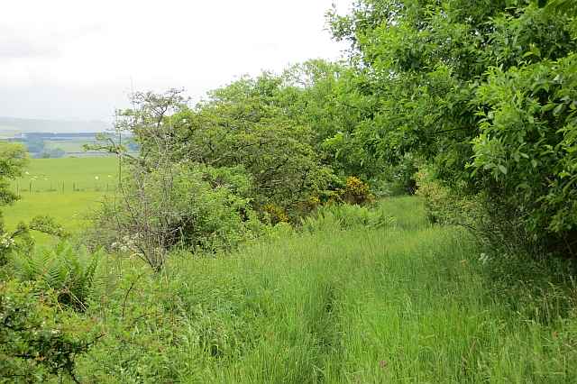
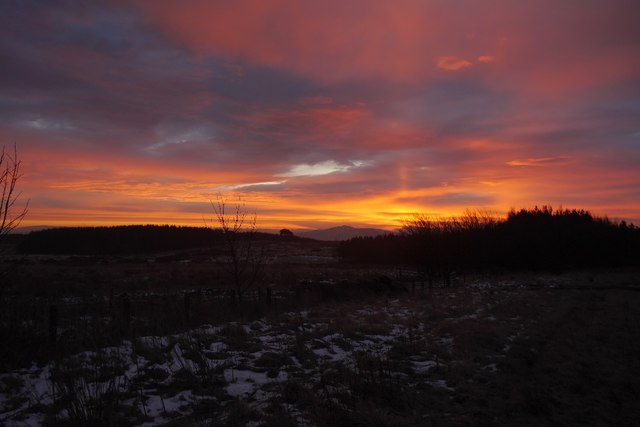
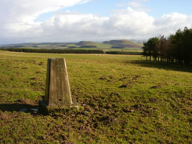
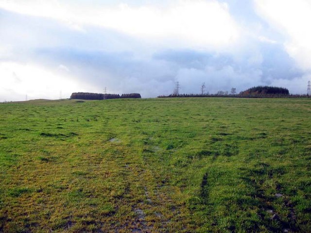
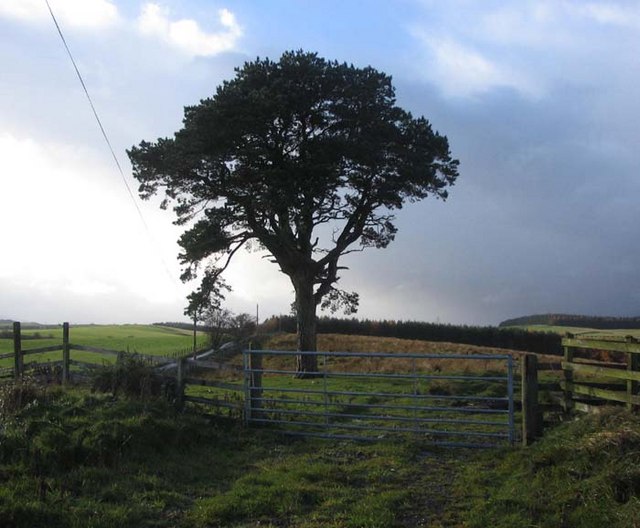
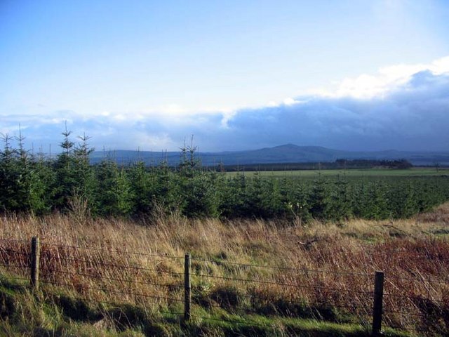
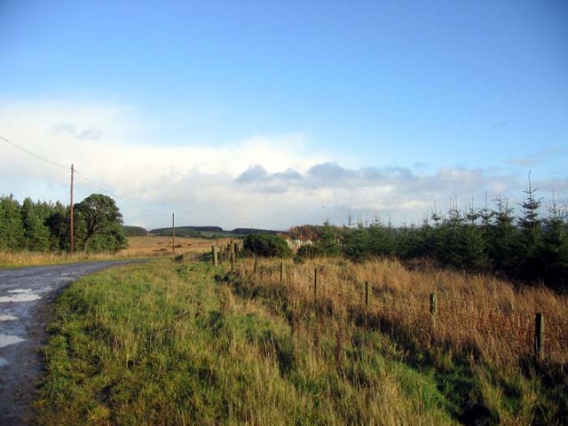
Blackcraig Moss is a vast expanse of moorland located in Roxburghshire, Scotland. Stretching across an area of approximately 4,000 acres, this area is known for its unique landscape and diverse wildlife. Situated in the southern uplands, Blackcraig Moss boasts a combination of heather-covered hills and peat bogs, creating a stunning panoramic view.

The moorland is characterized by its rich biodiversity and unique flora and fauna. The heather-dominated vegetation provides a habitat for various bird species, including the red grouse, curlew, and golden plover. Additionally, the area is home to several species of butterflies, such as the small pearl-bordered fritillary and the dark green fritillary.

Blackcraig Moss is also known for its archaeological significance. The remains of ancient settlements, such as hut circles, can be found scattered across the moorland, offering a glimpse into the area's historical past. The moorland's peat bogs have preserved many artifacts, including tools and pottery, providing valuable insights into the lives of early inhabitants.

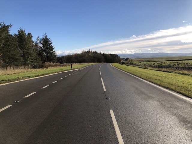
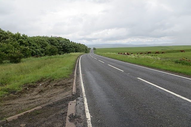
The moss is a popular destination for outdoor enthusiasts, offering ample opportunities for hiking, birdwatching, and photography. Several walking trails traverse the moorland, allowing visitors to explore its striking beauty and immerse themselves in nature. The vast open spaces and the peaceful atmosphere make Blackcraig Moss an ideal location for those seeking tranquility and a break from the hustle and bustle of city life.

In conclusion, Blackcraig Moss in Roxburghshire is a captivating moorland known for its diverse wildlife, archaeological significance, and stunning natural beauty. It offers an opportunity to connect with nature and explore the rich history of the area.

If you have any feedback on the listing, please let us know in the comments section below.

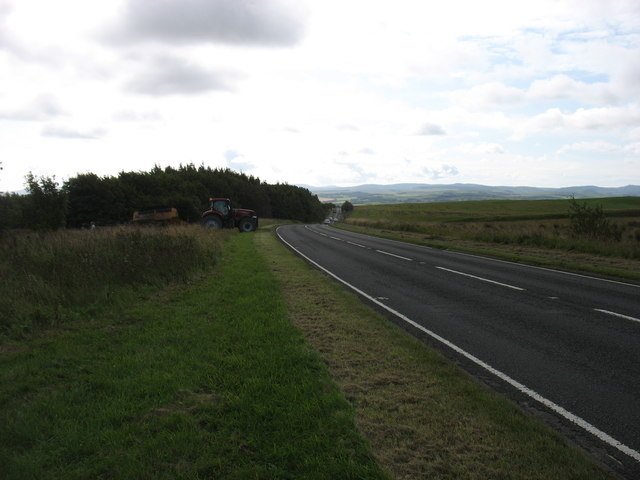
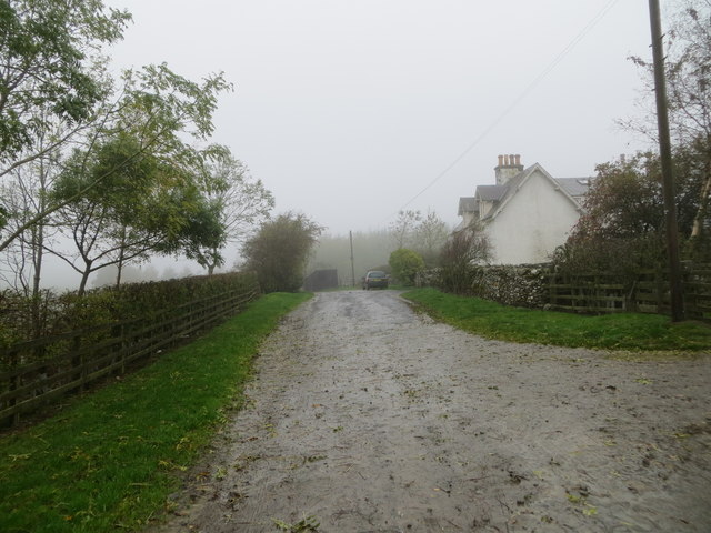
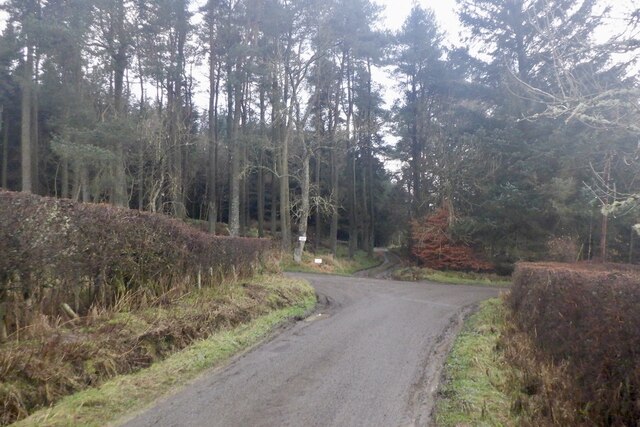
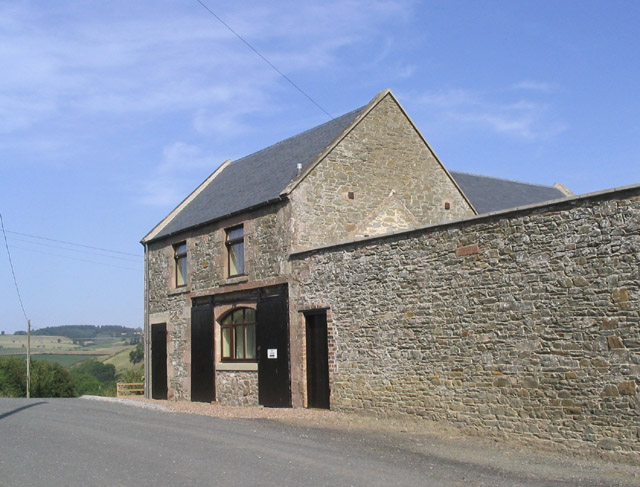
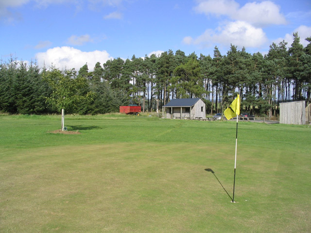
Blackcraig Moss Images

Images are sourced within 2km of 55.479696/-2.7869763 or Grid Reference NT5020. Thanks to Geograph Open Source API. All images are credited.

Groundistone Moss Dawn on the A7 with an old alignment of the road in the foreground.
Groundistone Moss
Dawn on the A7 with an old alignment of the road in the foreground.
The A7 heading for Hawick
Track at Muirfield Looking westward.
Track at Muirfield
Looking westward.
Road junction, Dimpleknowe
Rough pasture, Groundistone Moss
A7 A high and sometimes rather snowy (I used to commute on this road) road between Selkirk and Hawick. It has been much improved and it is actually possible to overtake in places.
A7
A high and sometimes rather snowy (I used to commute on this road) road between Selkirk and Hawick. It has been much improved and it is actually possible to overtake in places.
Running calves, Groundistone Moss Grazing land seen from beside the A7.
Running calves, Groundistone Moss
Grazing land seen from beside the A7.
A7, Groundistone Moss The road has been straightened out here. This high level stretch between Hawick and Selkirk is notorious for snow.
A7, Groundistone Moss
The road has been straightened out here. This high level stretch between Hawick and Selkirk is notorious for snow.
Hallywell Hill View past grazing sheep and through rain towards Hallywell Hill from the road to Muirfield.
Hallywell Hill
View past grazing sheep and through rain towards Hallywell Hill from the road to Muirfield.
Track, Muirfield Waymarked as the Hawick Circular Ride, but little sign of recent use. There were some old baked hoofprints probably dating back to the run up to the Common Rides, but the vegetation is firmly in control now.
Track, Muirfield
Waymarked as the Hawick Circular Ride, but little sign of recent use. There were some old baked hoofprints probably dating back to the run up to the Common Rides, but the vegetation is firmly in control now.
Sunrise, Groundistone Moss A Sun pillar above Rubers Law - resulting from ice crystals in the air.

This is not a geograph - too close to the gridline and too dark. Unfortunately it does not fit anymore. I intend to get it correctly classified when the site is repaired.
Sunrise, Groundistone Moss
A Sun pillar above Rubers Law - resulting from ice crystals in the air. This is not a geograph - too close to the gridline and too dark. Unfortunately it does not fit anymore. I intend to get it correctly classified when the site is repaired.
Muirfield trig Looking E from position
Muirfield trig
Looking E from position
Mill Cottage at Dimpleknowe This is a 2 storey former mill that has recently been converted into self catering holiday accommodation
Mill Cottage at Dimpleknowe
This is a 2 storey former mill that has recently been converted into self catering holiday accommodation
The 7th green at Lilliesleaf Golf Course near Dimpleknowe
Plantations and pylons The moors over looking Hawick
Plantations and pylons
The moors over looking Hawick
Lonesome Pine on the track to Muirfield North of Hawick
Lonesome Pine on the track to Muirfield
North of Hawick
A young plantation on Hallywell Hill Just north of Hawick
A young plantation on Hallywell Hill
Just north of Hawick
Track leading to Muirfield Just north of Hawick
Track leading to Muirfield
Just north of Hawick
Show me another place!

Blackcraig Moss is located at Grid Ref: NT5020 (Lat: 55.479696, Lng: -2.7869763)

Unitary Authority: The Scottish Borders

Police Authority: The Lothians and Scottish Borders

What 3 Words

///pepper.presides.dashes. Near Hawick, Scottish Borders

Related Wikis

Nearby Amenities

Located within 500m of 55.479696,-2.7869763
Natural: peak
Lat/Long: 55.4787416/-2.7832743
The data included in this document is from www.openstreetmap.org. The data is made available under ODbL.

Have you been to Blackcraig Moss?

Leave your review of Blackcraig Moss below (or comments, questions and feedback).