Brunt Tongue
Downs, Moorland in Westmorland Eden
England
Brunt Tongue

Brunt Tongue is a small village located in the county of Westmorland, England. Situated amidst the beautiful surroundings of the Downs and Moorland, it offers a picturesque setting for residents and visitors alike. The village is nestled in a valley, surrounded by rolling hills and breathtaking landscapes.
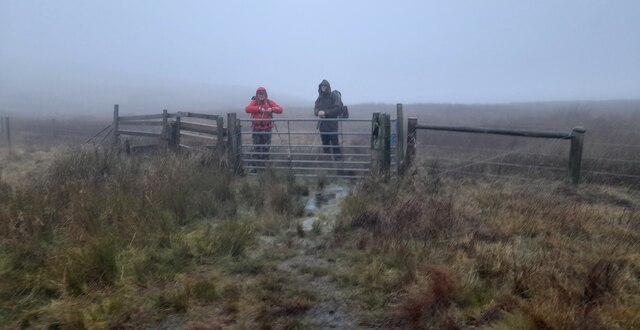
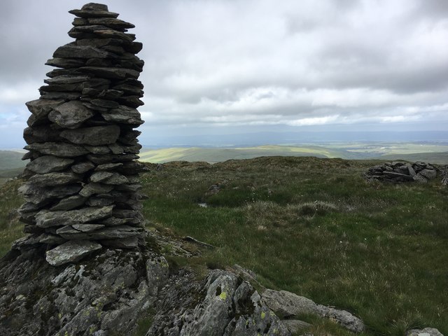
Known for its tranquility and natural beauty, Brunt Tongue is a haven for nature enthusiasts and outdoor adventurers. The Downs provide ample opportunities for hiking, cycling, and horseback riding, with numerous trails winding through the verdant countryside. The Moorland, on the other hand, offers a more rugged terrain, perfect for those seeking a challenging trek or a peaceful retreat.
Despite its small size, Brunt Tongue boasts a close-knit community and a rich history. The village is home to a charming church, which dates back several centuries and serves as a focal point for local gatherings and events. The residents take great pride in preserving their heritage, and many of the traditional cottages and buildings have been lovingly maintained over the years.
For those seeking a taste of local culture, Brunt Tongue hosts an annual summer fair, where visitors can indulge in traditional food, enjoy live music, and browse local crafts. The fair attracts people from neighboring villages, fostering a sense of community and camaraderie.
Overall, Brunt Tongue is a hidden gem in Westmorland, offering a peaceful and idyllic retreat for those in search of natural beauty and a close-knit community. Whether exploring the Downs, venturing into the Moorland, or immersing oneself in the village's rich history, Brunt Tongue promises an unforgettable experience.
If you have any feedback on the listing, please let us know in the comments section below.
Brunt Tongue Images
Images are sourced within 2km of 54.477008/-2.7694056 or Grid Reference NY5009. Thanks to Geograph Open Source API. All images are credited.


Brunt Tongue is located at Grid Ref: NY5009 (Lat: 54.477008, Lng: -2.7694056)
Administrative County: Cumbria
District: Eden
Police Authority: Cumbria
What 3 Words
///straddled.messaging.befitting. Near Shap, Cumbria
Nearby Locations
Related Wikis

Howes (fell)
Howes is a subsidiary summit of Branstree in the English Lake District, south east of Selside Pike in Cumbria. It is the subject of a chapter of Wainwright...

Tarn Crag (Far Eastern Fells)
Tarn Crag is a fell in the English Lake District. It stands to the east of Longsleddale in the Far Eastern Fells. == Topography == North of Sadgill, the...

Selside Pike
Selside Pike or Selside is a fell in the English Lake District. It stands between the valleys of Mardale and Swindale in the Far Eastern Fells. == Topography... ==

Grey Crag
Grey Crag is a fell in the English Lake District. It stands to the east of Longsleddale in the Far Eastern Fells. == Topography == North of Sadgill, the...

Mosedale Beck (Swindale)
Mosedale Beck is a stream in Cumbria, England, which runs between Tarn Crag and Branstree, flowing north to join Swindale Beck at Swindale Head; Swindale...

Branstree
Branstree is a fell in the Far Eastern part of the English Lake District. It overlooks the valley of Mardale and Haweswater Reservoir. == Topography... ==

Seat Robert
Seat Robert is a hill in the east of the English Lake District, south west of Shap, Cumbria. It is the subject of a chapter of Wainwright's book The Outlying...

Kentmere Pike
Kentmere Pike is a fell in the English Lake District, rising between the valleys of Kentmere and Longsleddale. It is the highpoint on the ridge between...
Nearby Amenities
Located within 500m of 54.477008,-2.7694056Have you been to Brunt Tongue?
Leave your review of Brunt Tongue below (or comments, questions and feedback).