Caldicot Level
Downs, Moorland in Monmouthshire
Wales
Caldicot Level
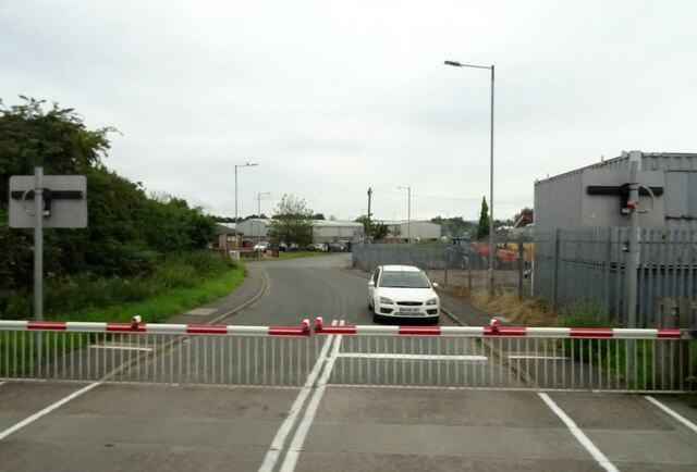
Caldicot Level is a vast area of downs and moorland located in Monmouthshire, Wales. It is characterized by its flat terrain and open spaces, offering breathtaking panoramic views of the surrounding landscape. The area is renowned for its natural beauty and is a popular destination for nature enthusiasts, hikers, and bird-watchers.
Covering an area of approximately 2,000 acres, Caldicot Level is home to a diverse range of flora and fauna. The landscape is dominated by a mixture of grassland, heathland, and marshland, providing habitats for a variety of plant and animal species. Visitors can expect to see an abundance of wildflowers, such as orchids and bluebells, as well as numerous bird species, including skylarks and lapwings.
The level is intersected by several watercourses, including the Caldicot Pill and Nedern Brook, which contribute to the unique ecosystem of the area. These waterways provide a habitat for aquatic life, including fish and amphibians. The wetland areas also attract a wide range of bird species, making it a popular spot for bird-watching.
Caldicot Level offers a tranquil and peaceful setting, allowing visitors to immerse themselves in nature and enjoy the serenity of the surroundings. The area is crisscrossed with footpaths and bridleways, providing ample opportunities for walking, cycling, and horse-riding.
Overall, Caldicot Level in Monmouthshire offers a diverse and picturesque landscape, making it a must-visit destination for those seeking a connection with nature and a chance to explore the beauty of the Welsh countryside.
If you have any feedback on the listing, please let us know in the comments section below.
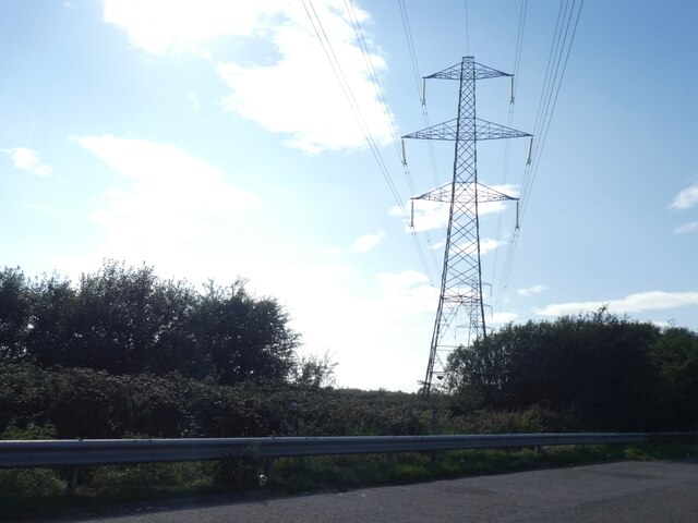
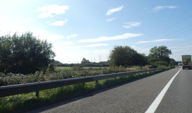
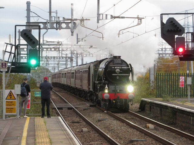
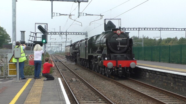
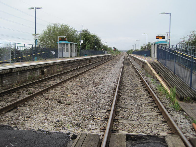
Caldicot Level Images
Images are sourced within 2km of 51.583235/-2.7477312 or Grid Reference ST4887. Thanks to Geograph Open Source API. All images are credited.


Caldicot Level is located at Grid Ref: ST4887 (Lat: 51.583235, Lng: -2.7477312)
Unitary Authority: Monmouthshire
Police Authority: Gwent
What 3 Words
///loans.exulted.stammer. Near Caldicot, Monmouthshire
Nearby Locations
Related Wikis

Severn (Caldicot ward)
Severn is the name of an electoral ward in the town of Caldicot, Monmouthshire, Wales. The ward elects councillors to Caldicot Town Council and Monmouthshire...
Caldicot School
Caldicot School (Welsh: Ysgol Cil-y-coed) is a coeducational and non-selective secondary school in Caldicot, Monmouthshire, South Wales, with around 1...
West End (Caldicot ward)
West End is an electoral ward in the town of Caldicot, Monmouthshire, Wales. The ward elects councillors to Caldicot Town Council and Monmouthshire County...
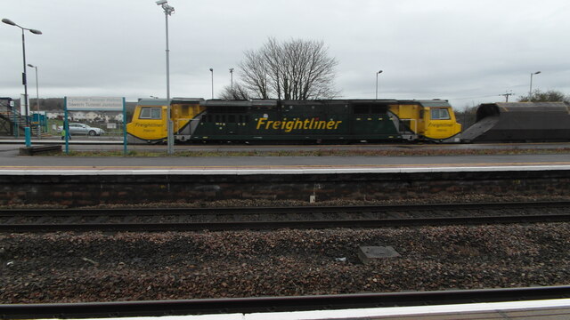
Caldicot railway station
Caldicot railway station is a part of the British railway system owned by Network Rail and is operated by Transport for Wales. It serves the town of Caldicot...
Nearby Amenities
Located within 500m of 51.583235,-2.7477312Have you been to Caldicot Level?
Leave your review of Caldicot Level below (or comments, questions and feedback).