Rixon Common
Downs, Moorland in Somerset South Somerset
England
Rixon Common
Rixon Common is a picturesque natural area located in Somerset, England. Situated between the towns of Bridgwater and Taunton, the common covers an expansive 500 hectares of land. It is renowned for its diverse landscape, encompassing both rolling downs and vast moorland.
The common is predominantly covered by heather and gorse, which creates a vibrant and colorful display during the summer months. These plant species also provide important habitats for a variety of wildlife, including birds such as skylarks, stonechats, and meadow pipits. In addition, the common is home to several species of butterflies, such as the small copper and silver-studded blue.
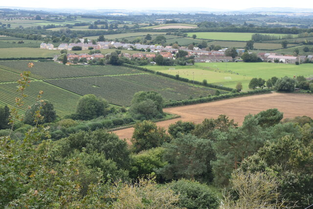
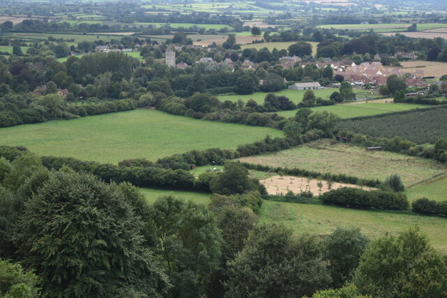
The undulating downs offer breathtaking views of the surrounding countryside, making Rixon Common a popular destination for outdoor enthusiasts. Numerous walking trails crisscross the area, allowing visitors to explore the diverse terrain and enjoy the tranquility of the natural surroundings. The common is also a haven for horse riders and mountain bikers, who can take advantage of the extensive network of bridleways and off-road tracks.
Rixon Common is managed by a local conservation organization, which works tirelessly to protect and enhance its natural beauty. Through careful land management practices, the organization aims to preserve the unique ecosystems and promote biodiversity within the common.
Overall, Rixon Common is a stunning natural area that offers visitors a chance to immerse themselves in the beauty of the Somerset countryside. Whether it's admiring the panoramic views from the downs or discovering the hidden gems of the moorland, this enchanting common provides a wonderful experience for nature lovers and outdoor enthusiasts alike.
If you have any feedback on the listing, please let us know in the comments section below.
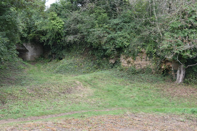
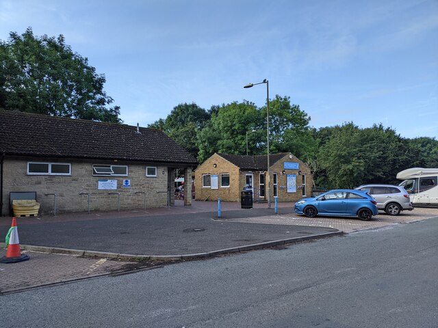
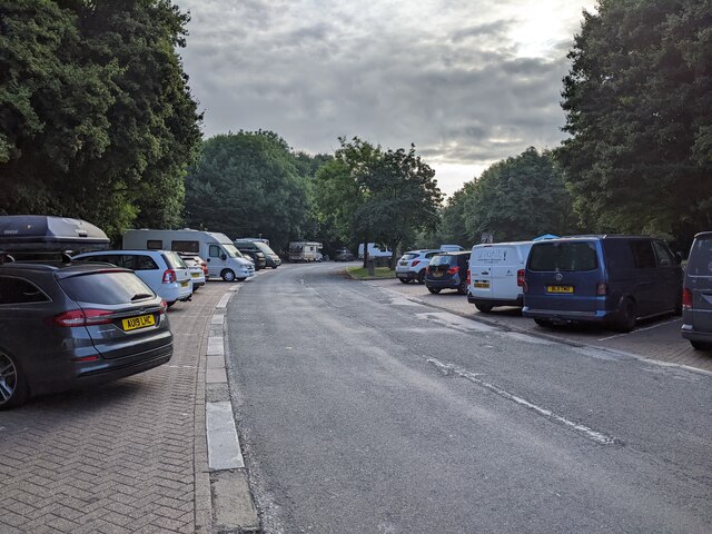
Rixon Common Images
Images are sourced within 2km of 50.958061/-2.7430739 or Grid Reference ST4717. Thanks to Geograph Open Source API. All images are credited.


Rixon Common is located at Grid Ref: ST4717 (Lat: 50.958061, Lng: -2.7430739)
Administrative County: Somerset
District: South Somerset
Police Authority: Avon and Somerset
What 3 Words
///mount.cubes.paramedic. Near Stoke-sub-Hamdon, Somerset
Nearby Locations
Related Wikis

Stanchester Academy
Stanchester Academy, formerly Stanchester Community School, is an academy for children between the ages of 11 and 16 in Stoke-sub-Hamdon, Somerset, England...
Stoke-sub-Hamdon
Stoke-sub-Hamdon (or Stoke sub Hamdon), also known as Stoke under Ham, is a large village and civil parish in the South Somerset district of Somerset,...

Stoke sub Hamdon Priory
Stoke sub Hamdon Priory is a complex of buildings and ruins which initially formed a 14th-century college for the chantry chapel of St Nicholas, and later...

United Reformed Church, Stoke-sub-Hamdon
The United Reformed Church is a former United Reformed church in Stoke-sub-Hamdon, Somerset, England. It was built in 1865-66 and closed for religious...

Ham Hill, Somerset
Ham Hill is a geological Site of Special Scientific Interest (SSSI), Scheduled Ancient Monument, Iron Age hill fort, Roman site, Local Nature Reserve and...

Ham Hill Hillfort
Ham Hill Hillfort is an Iron Age hillfort located on Ham Hill, Somerset, England. It was also occupied during the mesolithic and neolithic periods and...
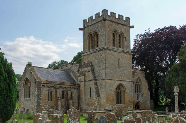
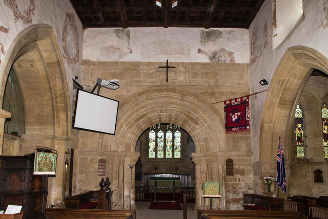
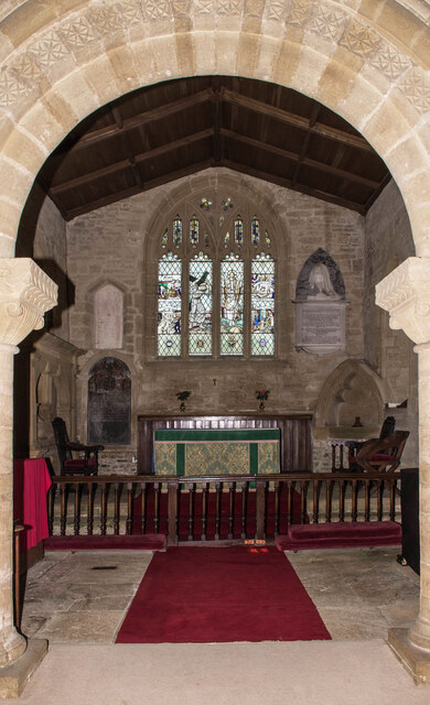
Church of St Mary the Virgin, East Stoke
The Church of St Mary the Virgin at East Stoke in Stoke-sub-Hamdon, Somerset, England dates from the 12th century. It has been designated as a Grade I...

Montacute Castle
Montacute Castle was a castle built on a hill overlooking the village of Montacute, Somerset, England. == Details == Montacute Castle was built after the...
Nearby Amenities
Located within 500m of 50.958061,-2.7430739Have you been to Rixon Common?
Leave your review of Rixon Common below (or comments, questions and feedback).