Ashley Moor

Downs, Moorland in Herefordshire

England

Ashley Moor

The Boot Inn, Orleton Done up for St George's Day.  

To me this pub will always be remembered for the once publican who could not pronounce the name of the village.
The Boot Inn, Orleton Credit: Richard Webb

Ashley Moor is a picturesque area located in Herefordshire, England. Situated amidst the stunning Downs and Moorland, it offers a unique and captivating landscape that attracts visitors from near and far.

Covering an expansive area, Ashley Moor boasts rolling hills, rugged terrain, and a diverse array of flora and fauna. The moorland is characterized by its open and expansive nature, with vast stretches of heather, grasses, and bracken creating a rich tapestry of colors throughout the seasons. This vibrant landscape provides a habitat for various species of birds, including skylarks and curlews, making it a popular spot for birdwatching enthusiasts.

The Downs, on the other hand, offer a more gentle and undulating terrain, with sweeping views of the surrounding countryside. Dotted with ancient woodlands and hedgerows, the Downs are home to a plethora of wildlife, such as badgers, foxes, and deer. This makes it an ideal location for nature lovers and wildlife enthusiasts to explore and enjoy the tranquil surroundings.

Ashley Moor is also known for its historical significance, with remnants of ancient settlements and archaeological sites scattered across the landscape. These remnants provide a fascinating glimpse into the area's rich past and offer opportunities for exploration and discovery.

With its natural beauty, diverse ecosystems, and historical charm, Ashley Moor, Herefordshire, is a destination that offers a wonderful blend of scenic beauty and cultural heritage. Whether you are looking to immerse yourself in nature, indulge in outdoor activities, or simply relax and unwind, Ashley Moor has something to offer for everyone.

If you have any feedback on the listing, please let us know in the comments section below.
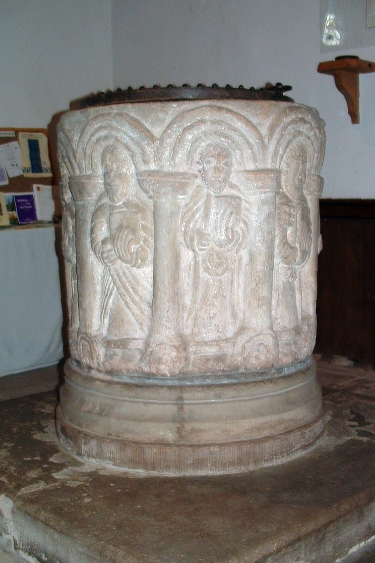
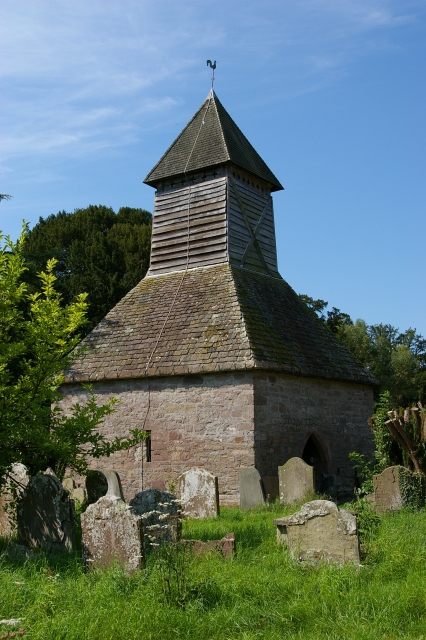
Ashley Moor Images

Images are sourced within 2km of 52.301503/-2.7689991 or Grid Reference SO4767. Thanks to Geograph Open Source API. All images are credited.

The Boot Inn, Orleton Done up for St George's Day.  

To me this pub will always be remembered for the once publican who could not pronounce the name of the village.
The Boot Inn, Orleton
Done up for St George's Day. To me this pub will always be remembered for the once publican who could not pronounce the name of the village.
Orleton Post Office View from outside The Boot.
Orleton Post Office
View from outside The Boot.
The war memorial and village post office, Orleton One of the social centres of the village. The village is properly pronounced 'Orl-ton' rather than Or-let-ton, which I have also heard.
The war memorial and village post office, Orleton
One of the social centres of the village. The village is properly pronounced 'Orl-ton' rather than Or-let-ton, which I have also heard.
The Boot Inn, Orleton I believe that this pub has changed hands, or management, a few times over recent years and months, like all too many pubs. But it seems well run, both wet side and food-wise, so let's hope it operates in profit and gets local support.
The Boot Inn, Orleton
I believe that this pub has changed hands, or management, a few times over recent years and months, like all too many pubs. But it seems well run, both wet side and food-wise, so let's hope it operates in profit and gets local support.
Old building at the rear of The Boot Inn, Orleton This old structure caught my eye to one side of the beer garden of the Boot Inn.
Old building at the rear of The Boot Inn, Orleton
This old structure caught my eye to one side of the beer garden of the Boot Inn.
Lane and footpath near Richard's Castle A waymarker sits between lanes at the junction point.
Lane and footpath near Richard's Castle
A waymarker sits between lanes at the junction point.
April's House, Waterloo Lane, near Richard's Castle A large and impressive house in an isolated spot. Interesting circular saw blade
April's House, Waterloo Lane, near Richard's Castle
A large and impressive house in an isolated spot. Interesting circular saw blade
Orleton Rise Holiday Park A static caravan holiday park within easy reach of many local attractions; Ludlow, Tenbury, Leominster (no, I'm not joking), the Teme valley, Mortimer Forest, the Clee Hills, Richard's Castle, the Mortimer Trail plus numerous small villages with pubs and a wide choice of restaurants. Or visitors could just stay on site drinking their own beer and eating their own barbecue food.
Orleton Rise Holiday Park
A static caravan holiday park within easy reach of many local attractions; Ludlow, Tenbury, Leominster (no, I'm not joking), the Teme valley, Mortimer Forest, the Clee Hills, Richard's Castle, the Mortimer Trail plus numerous small villages with pubs and a wide choice of restaurants. Or visitors could just stay on site drinking their own beer and eating their own barbecue food.
View from a footpath near Orleton The footpath here follows a field edge with lovely views across neighbouring fields to a bungalow and Titterstone Clee behind.
View from a footpath near Orleton
The footpath here follows a field edge with lovely views across neighbouring fields to a bungalow and Titterstone Clee behind.
Footpath through a rape field near Portway The oil seed rape is losing its yellow flowers now as May comes to an end and it is getting hard to struggle through the crop as it grows.
Footpath through a rape field near Portway
The oil seed rape is losing its yellow flowers now as May comes to an end and it is getting hard to struggle through the crop as it grows.
Old building in Orleton I have been watching that tile and waiting for it to fall for, well, maybe five years. This old building could well have been a smithy or a garage, or a coach house for the neighbouring roadside inn. Someone will know.
Old building in Orleton
I have been watching that tile and waiting for it to fall for, well, maybe five years. This old building could well have been a smithy or a garage, or a coach house for the neighbouring roadside inn. Someone will know.
The Maidenhead Inn in Orleton is for sale
St George's Church in Orleton
Tree in a Field
Tree in a Field
Old thatched house in Bircher This house always seems to have at least some remedial building work occurring to its aged thatch or fabric.
Old thatched house in Bircher
This house always seems to have at least some remedial building work occurring to its aged thatch or fabric.
St George, Orleton A splendid village church which the Victorians were fairly kind to.
St George, Orleton
A splendid village church which the Victorians were fairly kind to.
St George, Orleton A broadside shot of the South side of this impressive village church.
St George, Orleton
A broadside shot of the South side of this impressive village church.
Font, Orleton A splendid late 12th century font, 'characteristic of the Herefordshire School', says the latest Pevsner.
Font, Orleton
A splendid late 12th century font, 'characteristic of the Herefordshire School', says the latest Pevsner.
Show me another place!

Ashley Moor is located at Grid Ref: SO4767 (Lat: 52.301503, Lng: -2.7689991)

Unitary Authority: County of Herefordshire

Police Authority: West Mercia

What 3 Words

///feed.twitchy.stitching. Near Orleton, Herefordshire

Nearby Locations

Ashley Moor Ashley Moor

Related Wikis

Orleton

Orleton is a small village and civil parish in northern Herefordshire, England, at grid reference SO493672. The population of the civil parish at the 2011...

Bircher Common

Bircher Common is an area of lowland heath in the civil parish of Croft and Yarpole in Herefordshire, England, and 6 miles (10 km) north from Leominster...

Croft and Yarpole

Croft and Yarpole is a civil parish in the county of Herefordshire, England, and is 17 miles (27 km) north from the city and county town of Hereford....

Yarpole

Yarpole is a village and former civil parish, now in the parish of Croft and Yarpole, Herefordshire, England, about 4.5 miles (7 km) north-west of Leominster...

Nearby Amenities

Located within 500m of 52.301503,-2.7689991
Building: yes
Lat/Long: 52.3014755/-2.7726908
Ashley Moor
Place: locality
Source: OS_OpenData_StreetView
Lat/Long: 52.3027451/-2.7709794
The data included in this document is from www.openstreetmap.org. The data is made available under ODbL.

Have you been to Ashley Moor?

Leave your review of Ashley Moor below (or comments, questions and feedback).