Halton West

Settlement in Yorkshire Craven

England

Halton West

Ordnance Survey Cut Mark This mark can be found on the gatepost at the entrance to Long Bank Farm.
The benchmark has a recorded height of 155.9753 metres above sea level.
For more detail see : <span class="nowrap"><a title="https://www.bench-marks.org.uk/bm152156" rel="nofollow ugc noopener" href="https://www.bench-marks.org.uk/bm152156">Link</a><img style="margin-left:2px;" alt="External link" title="External link - shift click to open in new window" src="https://s1.geograph.org.uk/img/external.png" width="10" height="10"/></span>
Ordnance Survey Cut Mark Credit: Peter Wood

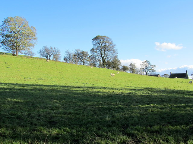
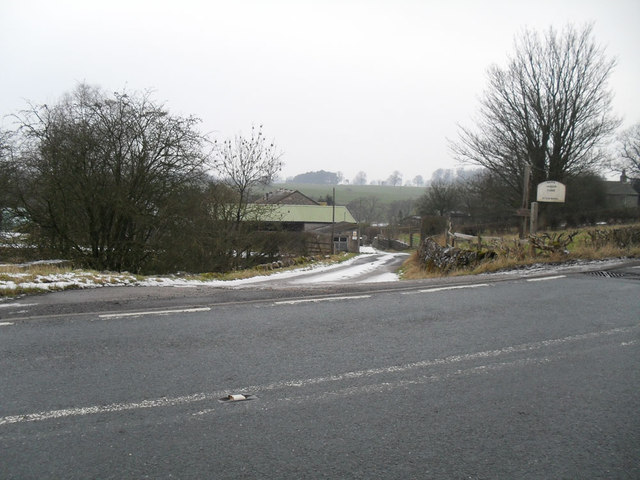
Halton West is a small village located in the district of Craven, within the county of Yorkshire, England. Situated in the beautiful Yorkshire Dales National Park, it is surrounded by picturesque countryside and rolling hills. The village is positioned approximately 3 miles northwest of the market town of Skipton and about 24 miles northeast of the city of Leeds.

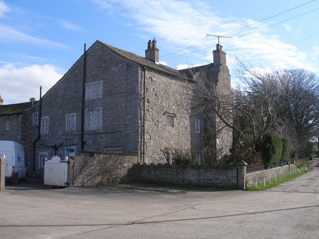
With its charming rural setting, Halton West offers a peaceful and idyllic environment for residents and visitors alike. The village is characterized by a collection of traditional stone-built houses, many of which date back several centuries, giving it a timeless and quintessentially English feel.

Despite its small size, Halton West has some amenities to cater to the needs of its residents. These include a village hall, which serves as a community hub and hosts various events throughout the year. Additionally, there is a small primary school that provides education to local children.

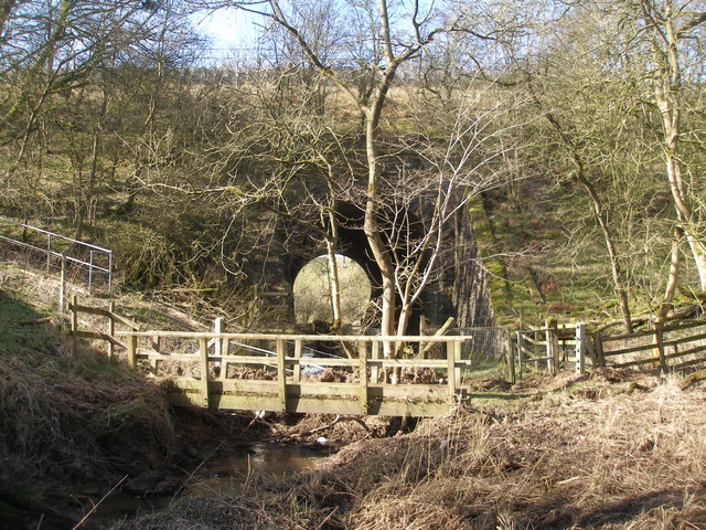
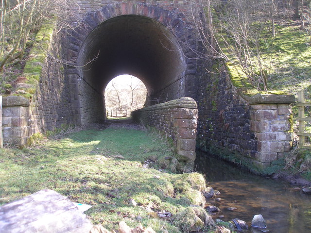
The village is ideally located for outdoor enthusiasts, with numerous walking and cycling opportunities in the surrounding countryside. The nearby Yorkshire Dales offer stunning landscapes, with attractions such as Malham Cove and Gordale Scar within easy reach.

Overall, Halton West offers a peaceful retreat in a picturesque setting, making it an appealing destination for those seeking a tranquil rural escape in the heart of Yorkshire.

If you have any feedback on the listing, please let us know in the comments section below.
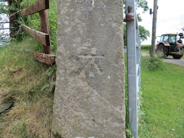
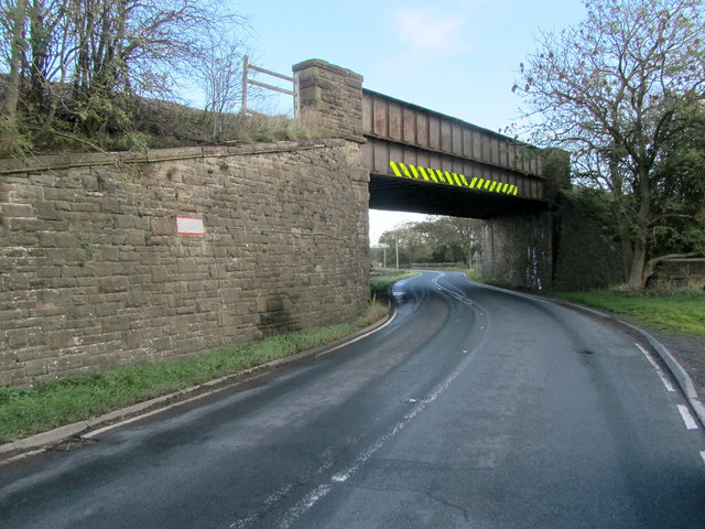
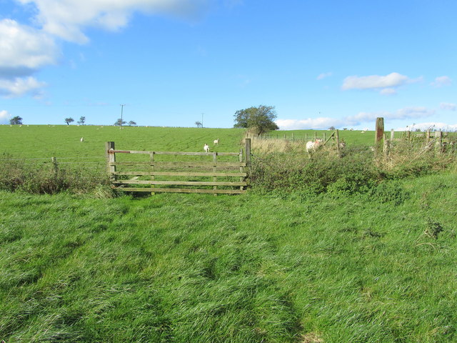
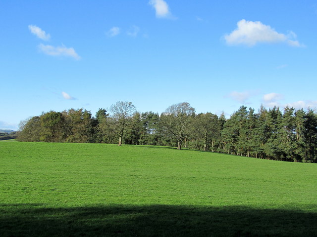
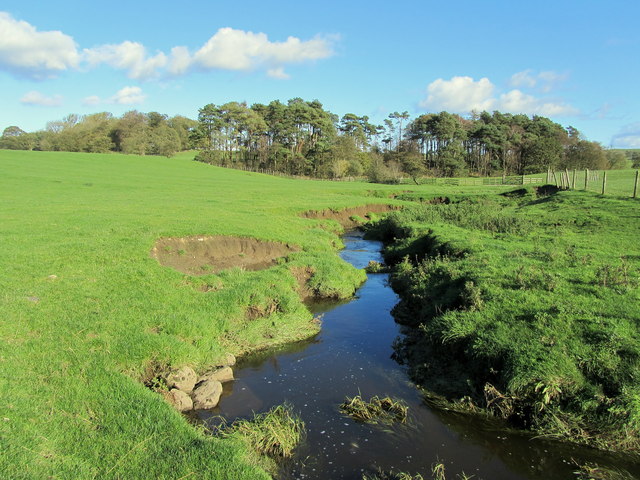
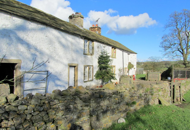
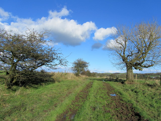
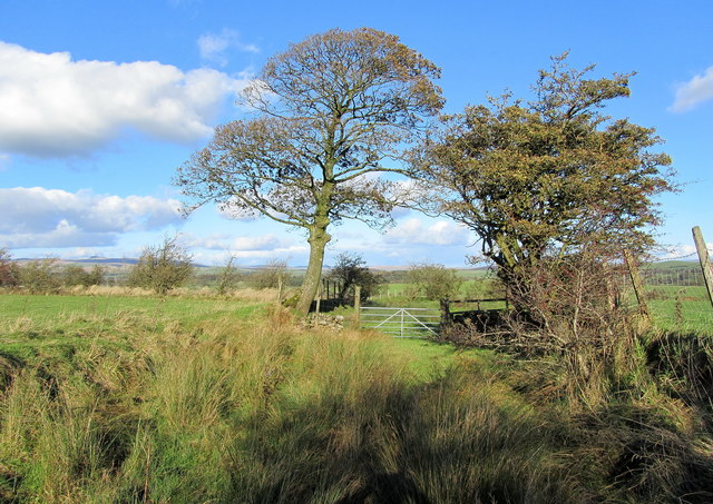
Halton West Images

Images are sourced within 2km of 53.984819/-2.240657 or Grid Reference SD8454. Thanks to Geograph Open Source API. All images are credited.

Ordnance Survey Cut Mark This mark can be found on the gatepost at the entrance to Long Bank Farm.
The benchmark has a recorded height of 155.9753 metres above sea level.
For more detail see : <span class="nowrap"><a title="https://www.bench-marks.org.uk/bm152156" rel="nofollow ugc noopener" href="https://www.bench-marks.org.uk/bm152156">Link</a><img style="margin-left:2px;" alt="External link" title="External link - shift click to open in new window" src="https://s1.geograph.org.uk/img/external.png" width="10" height="10"/></span>
Ordnance Survey Cut Mark
This mark can be found on the gatepost at the entrance to Long Bank Farm. The benchmark has a recorded height of 155.9753 metres above sea level. For more detail see : LinkExternal link
Railway Bridge at Nappa The A682 Gisburn/Long Preston Road at the scattered community of Nappa as it is crossed by a railway bridge.  It carries a mineral line that connects Clitheroe to Hellifield.
Railway Bridge at Nappa
The A682 Gisburn/Long Preston Road at the scattered community of Nappa as it is crossed by a railway bridge. It carries a mineral line that connects Clitheroe to Hellifield.
Cotter Hill Following a right of way from Swinden northwards towards the A682, near Halton West
Cotter Hill
Following a right of way from Swinden northwards towards the A682, near Halton West
Old Close Plantation Small patch of woodland above the River Ribble, seen from the south
Old Close Plantation
Small patch of woodland above the River Ribble, seen from the south
Ged Beck looking Downstream Crossing this stream below Black Plantation the scene looks down Ged Beck towards Gallaber Hole Plantation, on its journey to the River Ribble.
Ged Beck looking Downstream
Crossing this stream below Black Plantation the scene looks down Ged Beck towards Gallaber Hole Plantation, on its journey to the River Ribble.
Nappa Flats Farmhouse in the countryside of Mid Ribblesdale
Nappa Flats
Farmhouse in the countryside of Mid Ribblesdale
On the Track between Paa Hill and Nappa Flats Muddy track crossing the small drumlin of Priestbers
On the Track between Paa Hill and Nappa Flats
Muddy track crossing the small drumlin of Priestbers
Bridleway near Englands Head Part of the bridleway followed between Paa Hill and Nappa Flats - very boggy in texture
Bridleway near Englands Head
Part of the bridleway followed between Paa Hill and Nappa Flats - very boggy in texture
Paa Hill One of many glacial drumlins that are manifested in this area
Paa Hill
One of many glacial drumlins that are manifested in this area
Nappa Manor Farm entrance
Path and stream go under the railway at Swinden Gill
Swinden Hall
Swinden Hall
Milestone 'To Gisburn 5 Miles' This old milestone is on the A682 near the lane to Goosmere Height. The other side reads 'To Settle 6 Miles' <a href="https://www.geograph.org.uk/photo/2890378">SD8555 : Milestone 'To Settle 6 Miles'</a>. Old Ordnance Survey maps indicate a bench mark on this stone but I couldn't find any sign of it. For details of the mark see: <span class="nowrap"><a title="http://www.bench-marks.org.uk/bm31761" rel="nofollow ugc noopener" href="http://www.bench-marks.org.uk/bm31761">Link</a><img style="margin-left:2px;" alt="External link" title="External link - shift click to open in new window" src="https://s1.geograph.org.uk/img/external.png" width="10" height="10"/></span>
Milestone 'To Gisburn 5 Miles'
This old milestone is on the A682 near the lane to Goosmere Height. The other side reads 'To Settle 6 Miles' SD8555 : Milestone 'To Settle 6 Miles'. Old Ordnance Survey maps indicate a bench mark on this stone but I couldn't find any sign of it. For details of the mark see: LinkExternal link
Milestone 'To Settle 6 Miles' This old milestone is on the A682 near the lane to Goosmere Height. The other side reads 'To Gisburn 5 Miles' <a href="https://www.geograph.org.uk/photo/2890358">SD8555 : Milestone 'To Gisburn 5 Miles'</a>. Old Ordnance Survey maps indicate a bench mark on this stone but I couldn't find any sign of it.
Milestone 'To Settle 6 Miles'
This old milestone is on the A682 near the lane to Goosmere Height. The other side reads 'To Gisburn 5 Miles' SD8555 : Milestone 'To Gisburn 5 Miles'. Old Ordnance Survey maps indicate a bench mark on this stone but I couldn't find any sign of it.
A milestone on the A682 This old milestone is near the lane to Goosmere Height. The near face states 'To Settle 6 Miles' see <a href="https://www.geograph.org.uk/photo/2890358">SD8555 : Milestone 'To Gisburn 5 Miles'</a> and the far side 'To Gisburn 5 Miles' see <a href="https://www.geograph.org.uk/photo/2890378">SD8555 : Milestone 'To Settle 6 Miles'</a>.  Old Ordnance Survey maps indicate that there was once a bench mark on the stone but I was unable to find one.
A milestone on the A682
This old milestone is near the lane to Goosmere Height. The near face states 'To Settle 6 Miles' see SD8555 : Milestone 'To Gisburn 5 Miles' and the far side 'To Gisburn 5 Miles' see SD8555 : Milestone 'To Settle 6 Miles'. Old Ordnance Survey maps indicate that there was once a bench mark on the stone but I was unable to find one.
Rivet bench mark on a water trough in Hellifield Road This bench mark is on the front face of an old stone water trough in the lane called Hellifield Road. The rivet is set into the top edge of the trough and the mark was recorded on the 1853 O.S. map. See also <a href="https://www.geograph.org.uk/photo/2891310">SD8555 : Stone water trough in Hellifield Road</a> <a href="https://www.geograph.org.uk/photo/2891316">SD8555 : Stone water trough and Hellifield Road</a> For details of the marks see: <span class="nowrap"><a title="http://www.bench-marks.org.uk/bm42439" rel="nofollow ugc noopener" href="http://www.bench-marks.org.uk/bm42439">Link</a><img style="margin-left:2px;" alt="External link" title="External link - shift click to open in new window" src="https://s1.geograph.org.uk/img/external.png" width="10" height="10"/></span>
Rivet bench mark on a water trough in Hellifield Road
This bench mark is on the front face of an old stone water trough in the lane called Hellifield Road. The rivet is set into the top edge of the trough and the mark was recorded on the 1853 O.S. map. See also SD8555 : Stone water trough in Hellifield Road SD8555 : Stone water trough and Hellifield Road For details of the marks see: LinkExternal link
Stone water trough in Hellifield Road This old stone water trough is alongside the lane called Hellifield Road. There is a rivet bench mark on the front edge of the trough, off-centre to the left, <a href="https://www.geograph.org.uk/photo/2891305">SD8555 : Rivet bench mark on a water trough in Hellifield Road</a>, and the date '1819' is cut into the centre of the face. The house in the background is Panbeck Farm on the A682.
Stone water trough in Hellifield Road
This old stone water trough is alongside the lane called Hellifield Road. There is a rivet bench mark on the front edge of the trough, off-centre to the left, SD8555 : Rivet bench mark on a water trough in Hellifield Road, and the date '1819' is cut into the centre of the face. The house in the background is Panbeck Farm on the A682.
Show me another place!

Halton West is located at Grid Ref: SD8454 (Lat: 53.984819, Lng: -2.240657)

Division: West Riding

Administrative County: North Yorkshire

District: Craven

Police Authority: North Yorkshire

What 3 Words

///rift.boots.obligated. Near Hellifield, North Yorkshire

Related Wikis

Halton West

Halton West is a village and civil parish in the Craven district of North Yorkshire, England. North Yorkshire County Council estimated the population in...

Nappa, North Yorkshire

Nappa is a hamlet in the civil parish of Hellifield, in North Yorkshire, England. It is on the A682 road and 6 miles (9.7 km) north-west of Barnoldswick...

Swinden

Swinden is a village in the civil parish of Hellifield, in North Yorkshire, England. It is near Halton West and Nappa and about 7 miles north of Barnoldswick...

Hellifield

Hellifield is a village and civil parish in the Craven district of North Yorkshire, England (grid reference SD855565). Historically part of the West Riding...

Paythorne

Paythorne is a small village and civil parish in Ribble Valley, Lancashire, England. It is situated alongside the River Ribble, north-east of Clitheroe...

Newsholme, Lancashire

Newsholme is a small village and civil parish in the Ribble Valley, Lancashire, England, but lies within the historic West Riding of Yorkshire. According...

Newsholme railway station

Newsholme railway station was a railway station that served the small village of Newsholme in Lancashire. It was built by the Lancashire and Yorkshire...

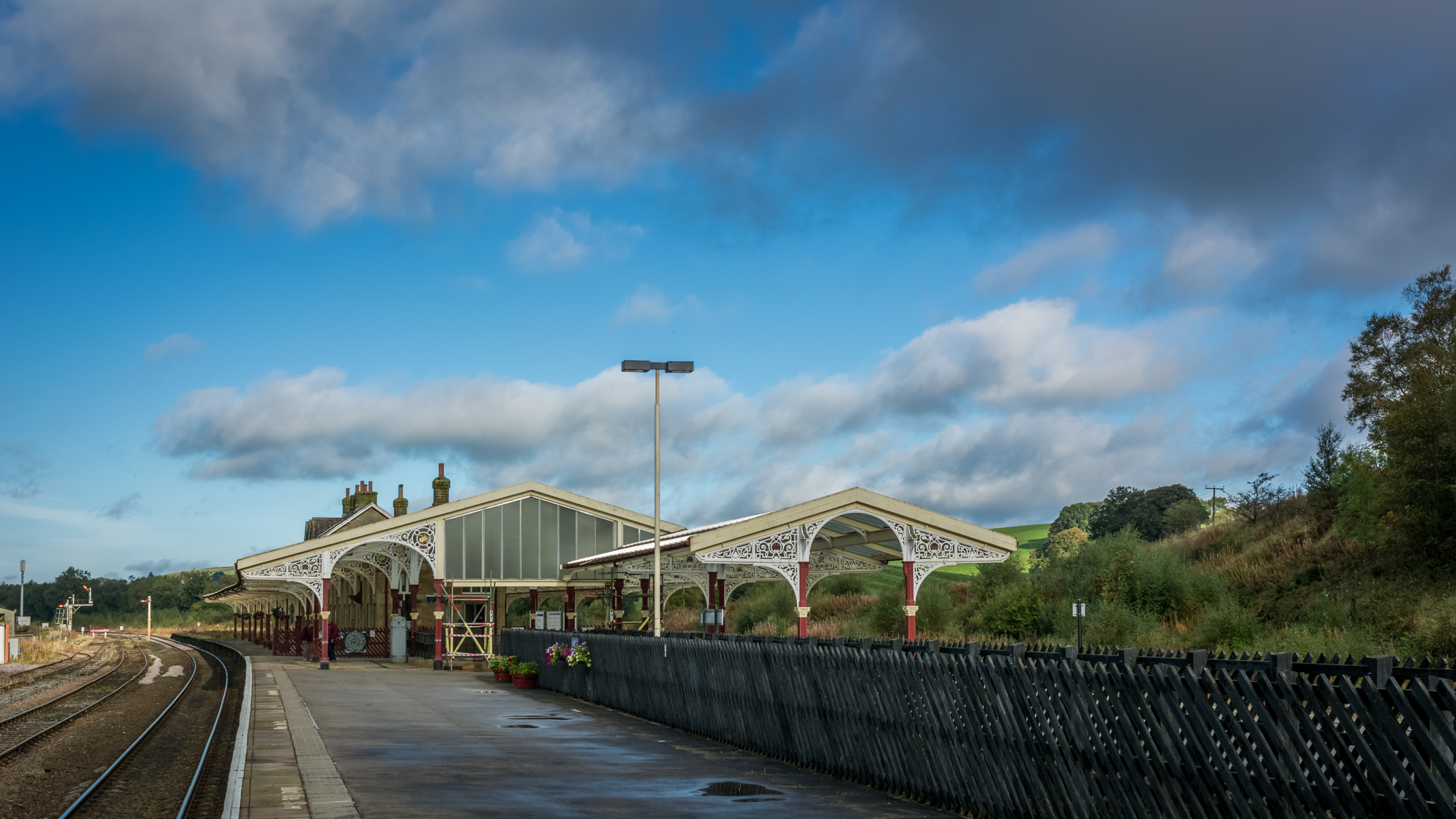
Hellifield railway station

Hellifield is a railway station on the Bentham Line, which runs between Leeds and Morecambe via Skipton. The station, situated 36 miles 17 chains (58.3...

Nearby Amenities

Located within 500m of 53.984819,-2.240657
Halton West
Is In: Craven, North Yorkshire, Yorkshire, England, UK
Place: village
Source: npe
Lat/Long: 53.9848093/-2.2407133
Post Box
Post Box Type: wall
Royal Cypher: VR
Royal Cypher Wikidata: Q33102356
Lat/Long: 53.9848334/-2.2400455
Telephone
Booth: K6
Covered: booth
Lat/Long: 53.984904/-2.2399009
The data included in this document is from www.openstreetmap.org. The data is made available under ODbL.

Have you been to Halton West?

Leave your review of Halton West below (or comments, questions and feedback).