Broad Field
Downs, Moorland in Cumberland Eden
England
Broad Field

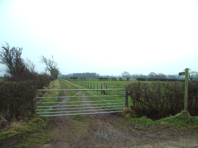
Broad Field, Cumberland (Downs, Moorland) is a vast expanse of open land located in the county of Cumberland, England. With an approximate area of several hundred square kilometers, it is characterized by its rolling hills, extensive moorland, and picturesque valleys.
The landscape of Broad Field is defined by its gently undulating downs, which provide breathtaking panoramic views of the surrounding countryside. These downs are covered in an array of grasses, heathers, and wildflowers, creating a vibrant and colorful tapestry during the summer months.
The moorland in Broad Field is dominated by heather and bracken, interspersed with patches of rocky outcrops and small streams. This unique habitat supports a diverse range of flora and fauna, including species such as red grouse, curlews, and adders. Visitors to the area can often spot these creatures as they explore the network of walking trails that crisscross the moorland.
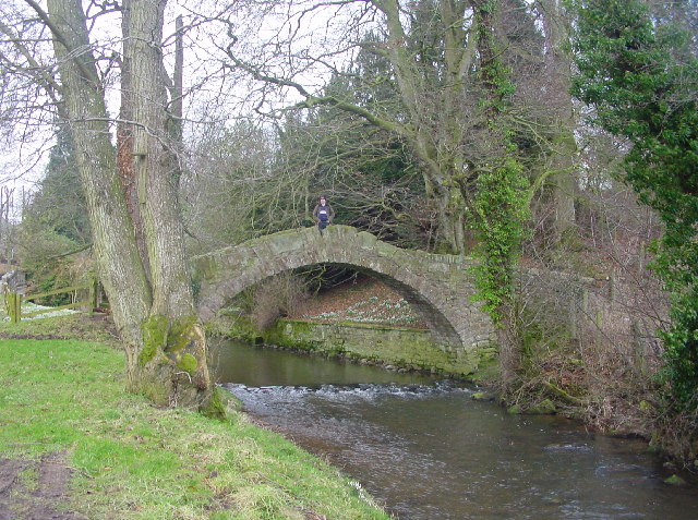
The valleys in Broad Field are a striking feature, carved out by ancient glaciers and rivers over thousands of years. These valleys are often dotted with charming villages and hamlets, adding a touch of quaintness to the ruggedness of the landscape. Visitors can enjoy leisurely walks along the valley bottoms, taking in the idyllic scenery and perhaps indulging in some birdwatching along the way.
Overall, Broad Field, Cumberland (Downs, Moorland) offers a unique and captivating experience for nature lovers and outdoor enthusiasts. Its vast open spaces, diverse habitats, and stunning vistas make it a truly remarkable destination for those seeking to immerse themselves in the beauty of the English countryside.
If you have any feedback on the listing, please let us know in the comments section below.
Broad Field Images
Images are sourced within 2km of 54.771822/-2.8685081 or Grid Reference NY4442. Thanks to Geograph Open Source API. All images are credited.


Broad Field is located at Grid Ref: NY4442 (Lat: 54.771822, Lng: -2.8685081)
Administrative County: Cumbria
District: Eden
Police Authority: Cumbria
What 3 Words
///chat.soft.gazes. Near Dalston, Cumbria
Nearby Locations
Related Wikis
Ivegill
Ivegill is a small village in Cumbria, England. The village has one place of worship and a school. It is located on an unclassified road near Southwaite...

Morton, Eden
Morton is a hamlet near the village of Calthwaite, in the civil parishes of Hesket and Skelton, within the Eden district of the English county of Cumbria...
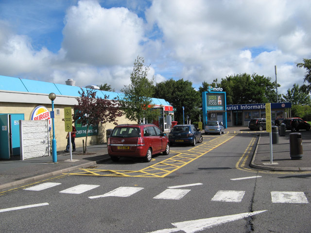
Southwaite Services
Southwaite services is a motorway service station, between junctions 41 and 42 of the M6 motorway near Southwaite, Cumbria, England. It is about 7 miles...

Southwaite railway station
Southwaite railway station in Hesket parish, was situated on the Lancaster and Carlisle Railway (the West Coast Main Line) between Carlisle and Penrith...

Southwaite
Southwaite is a small village in the parish of Hesket, in the Eden District, in the English county of Cumbria. == Location == It is located on a minor...

Calthwaite
Calthwaite is a small village in rural Cumbria, England, situated between the small market town of Penrith and the larger city of Carlisle. It is within...
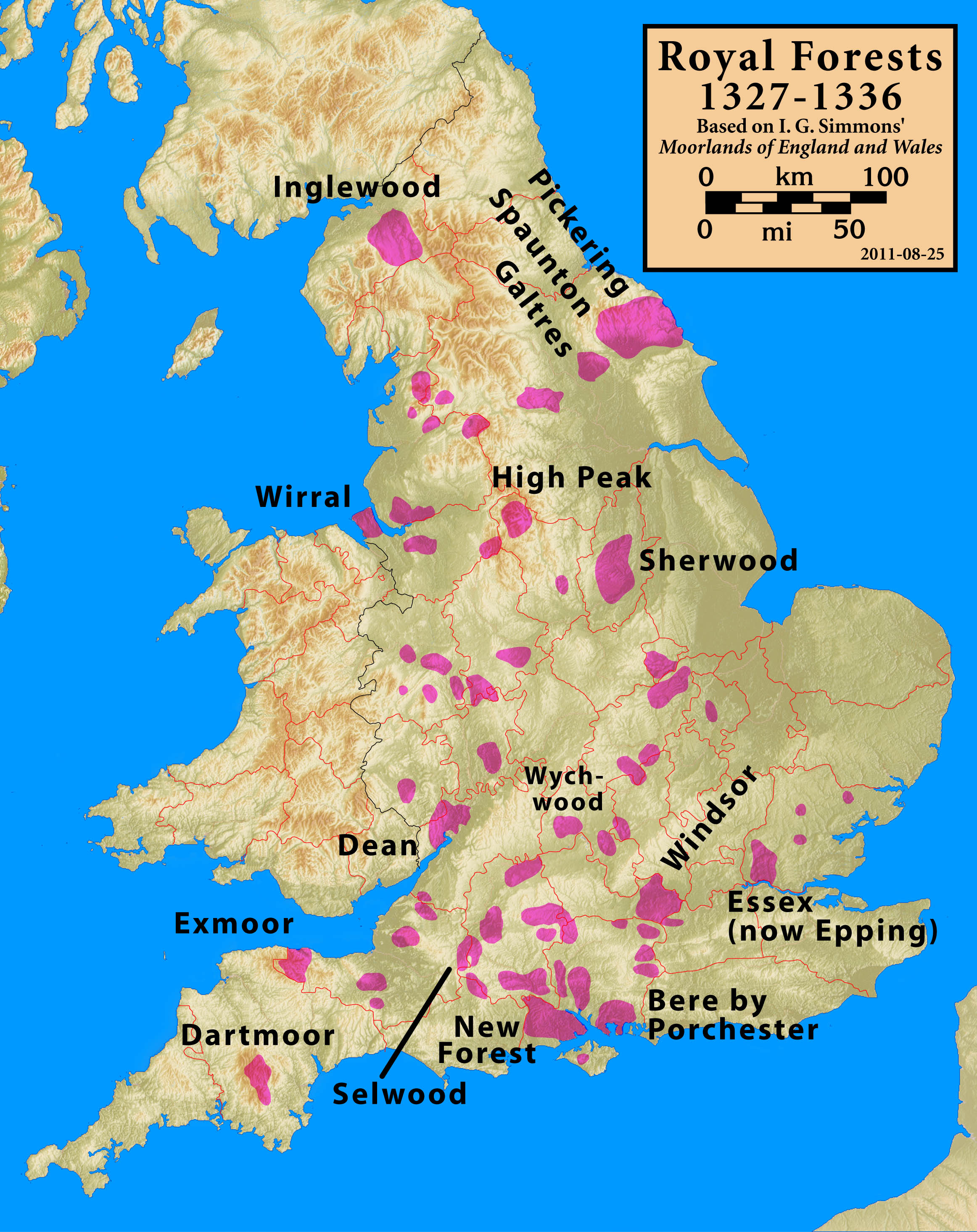
Inglewood Forest
Inglewood Forest is a large tract of mainly arable and dairy farm land with a few small woodland areas between Carlisle and Penrith in the English non...
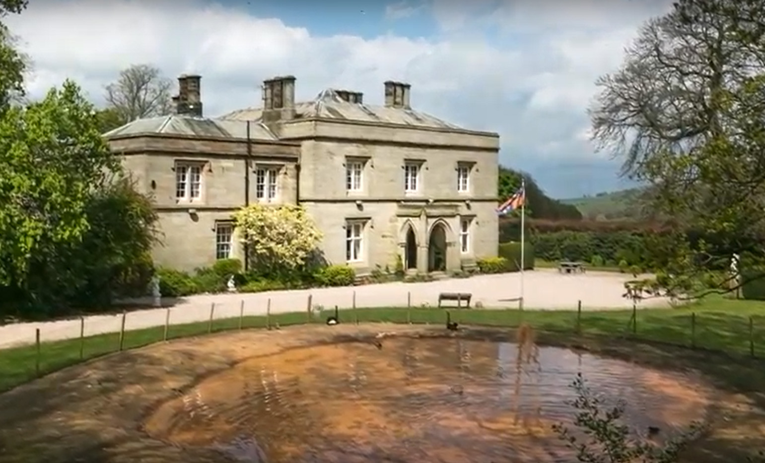
Calthwaite Hall
Calthwaite Hall, near Penrith in Cumbria, England, is a house of historical significance and is Grade II listed on the National Heritage List for England...
Have you been to Broad Field?
Leave your review of Broad Field below (or comments, questions and feedback).