Bica Common

Downs, Moorland in Monmouthshire

Wales

Bica Common

Descending Gray Hill Overlooking Wentwood.
See <a title="https://www.geograph.org.uk/photo/1097852" href="https://www.geograph.org.uk/photo/1097852">Link</a> for a similar view 13 years later.
Descending Gray Hill Credit: Robin Drayton

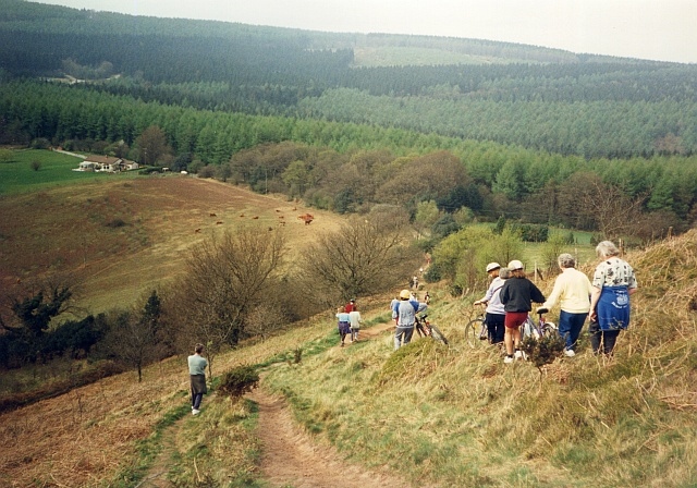
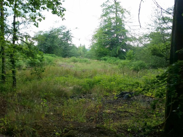
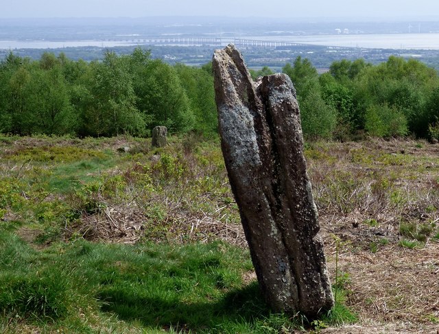
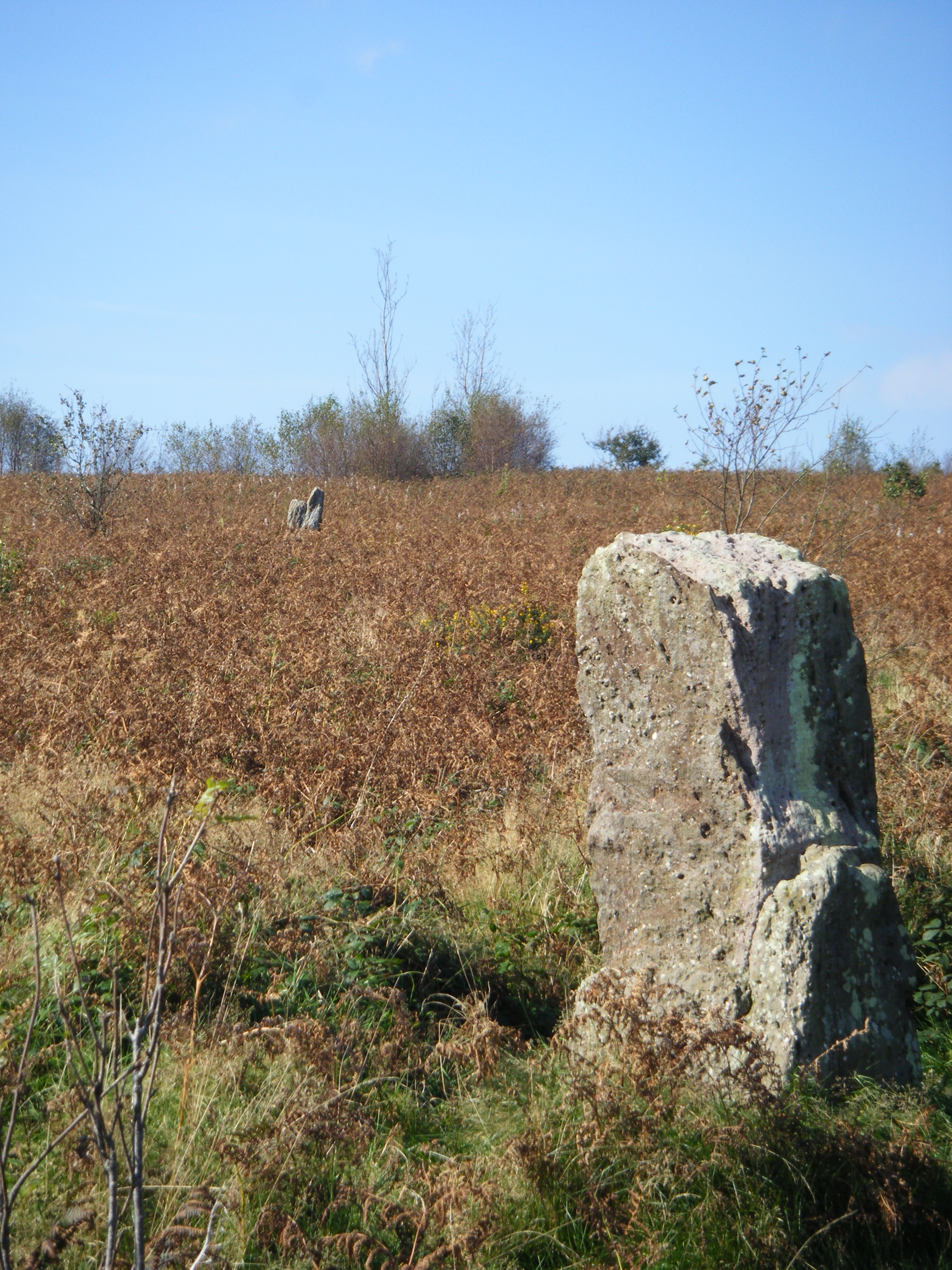
Bica Common is a vast expanse of downs and moorland located in Monmouthshire, Wales. It covers an area of approximately 1,500 acres and is situated within the Brecon Beacons National Park. The common is characterized by its rolling hills, open grasslands, and patches of dense heather, creating a diverse and picturesque landscape.

The common is renowned for its rich biodiversity and is home to a wide range of flora and fauna. It supports a variety of grass species, including purple moor grass and common bent, which provide important habitats for numerous insects and bird species. The heather-dominated areas attract species like stonechats, meadow pipits, and curlews.

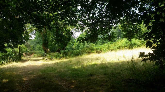
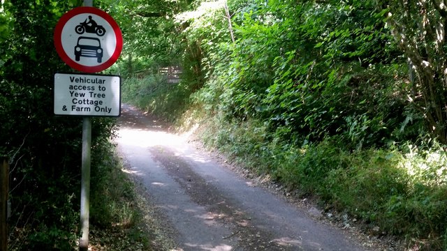
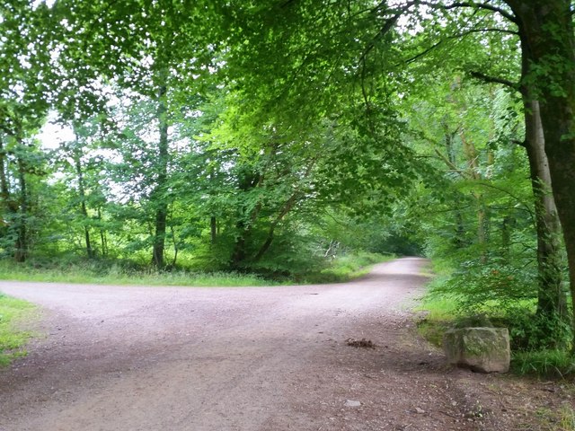
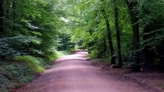
Bica Common offers stunning panoramic views, providing visitors with a sense of tranquility and natural beauty. It is a popular destination for outdoor enthusiasts, offering ample opportunities for hiking, walking, and birdwatching. The common is crisscrossed by a network of public footpaths, allowing visitors to explore the area and take in its scenic vistas.

The management of Bica Common is overseen by the Brecon Beacons National Park Authority, who work to conserve the natural environment and protect the diverse range of wildlife that inhabits the area. The common is also grazed by local farmers, helping to maintain the open grasslands and prevent the encroachment of scrub and trees.

Overall, Bica Common is a magnificent natural area that showcases the beauty of the Welsh countryside. Its rolling hills, open moorland, and diverse wildlife make it a must-visit destination for nature enthusiasts and those seeking to immerse themselves in the tranquility of the outdoors.

If you have any feedback on the listing, please let us know in the comments section below.
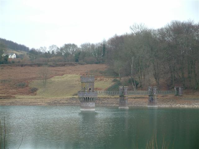
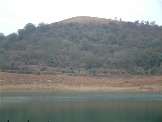
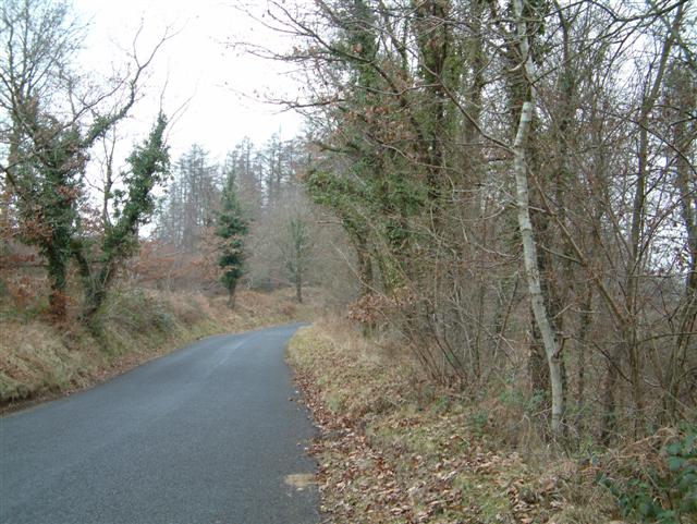
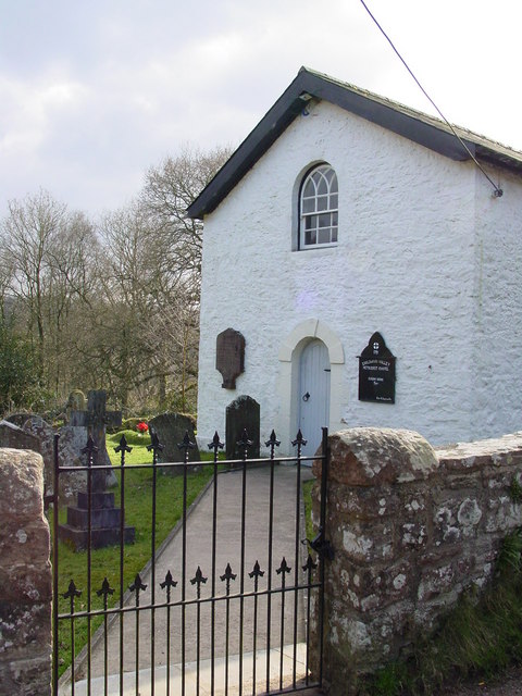
Bica Common Images

Images are sourced within 2km of 51.64506/-2.8074682 or Grid Reference ST4494. Thanks to Geograph Open Source API. All images are credited.

Descending Gray Hill Overlooking Wentwood.
See <a title="https://www.geograph.org.uk/photo/1097852" href="https://www.geograph.org.uk/photo/1097852">Link</a> for a similar view 13 years later.
Descending Gray Hill
Overlooking Wentwood. See Link for a similar view 13 years later.
Path to the common ground Crossing a bright sunlit grassy field,
Path to the common ground
Crossing a bright sunlit grassy field,
Vehicular access Best believe it; park up here and enjoy the walk.
Vehicular access
Best believe it; park up here and enjoy the walk.
Tile House Farm The substantial building is next to the road that leads to the Gray Hill access area.
Tile House Farm
The substantial building is next to the road that leads to the Gray Hill access area.
Wentwood at Cadira Beeches, 1 A view of an open broadleaf section of the forest.
Wentwood at Cadira Beeches, 1
A view of an open broadleaf section of the forest.
Wentwood at Cadira Beeches, 2 Track to the left is a bridleway north over the summit and descending to Bluebell Farm.
Wentwood at Cadira Beeches, 2
Track to the left is a bridleway north over the summit and descending to Bluebell Farm.
Wentwood forest track Cambered bridleway heading east towards Shirenewton.
Wentwood forest track
Cambered bridleway heading east towards Shirenewton.
Track towards the Five Paths The Wentwood forest tracks dissect the forested plateau.
Track towards the Five Paths
The Wentwood forest tracks dissect the forested plateau.
Wentwood forest track The Wentwood forest tracks dissect the forested plateau.
Wentwood forest track
The Wentwood forest tracks dissect the forested plateau.
Clearfell in Wentwood A lot of seedling conifers are popping up here but the general view is open to the south and east of the camera position.
Clearfell in Wentwood
A lot of seedling conifers are popping up here but the general view is open to the south and east of the camera position.
The Woodlands Tavern, Llanvair Discoed
Gray Hill prehistoric stone row A probable single stone row measuring 78.7m long, including 6 different sized stones. The row is orientated north west to south east and leads from one side of a kerbed cairn. <span class="nowrap"><a title="https://stonerows.wordpress.com/gazetteer/region/wales/gray-hill/" rel="nofollow ugc noopener" href="https://stonerows.wordpress.com/gazetteer/region/wales/gray-hill/">Link</a><img style="margin-left:2px;" alt="External link" title="External link - shift click to open in new window" src="https://s1.geograph.org.uk/img/external.png" width="10" height="10"/></span>
Gray Hill prehistoric stone row
A probable single stone row measuring 78.7m long, including 6 different sized stones. The row is orientated north west to south east and leads from one side of a kerbed cairn. LinkExternal link
Wentwood Reservoir
Wentwood Reservoir
Gray Hill & Wentwood Reservoir
The head of Wentwood Reservoir, & Gray Hill
The Road through Wentwood Forest
Earlswood Valley Methodist Chapel The small chapel is tucked away in a peaceful valley in the south east corner of Monmouthshire and yet is only a few miles away from the M4 motorway.
Earlswood Valley Methodist Chapel
The small chapel is tucked away in a peaceful valley in the south east corner of Monmouthshire and yet is only a few miles away from the M4 motorway.
The meeting of the ways This location is called 'The Five Paths' and lies within the Wentwood Forest Monmouthshire. There are many fine woodland walks hereabouts.
The meeting of the ways
This location is called 'The Five Paths' and lies within the Wentwood Forest Monmouthshire. There are many fine woodland walks hereabouts.
Show me another place!

Bica Common is located at Grid Ref: ST4494 (Lat: 51.64506, Lng: -2.8074682)

Unitary Authority: Monmouthshire

Police Authority: Gwent

What 3 Words

///return.generated.procures. Near Llanvaches, Newport

Nearby Locations

Bica Common

Related Wikis

Gray Hill, Monmouthshire

Gray Hill (Welsh: Mynydd Llwyd) is a hill immediately to the north of the village of Llanvair Discoed, Monmouthshire, South Wales, rising to 896 feet...

Earlswood, Monmouthshire

Earlswood (Welsh: Coed-yr-iarll) is a rural area of scattered settlement in Monmouthshire, south east Wales, United Kingdom. It is located five miles...

Wentwood

Wentwood (Welsh: Coed Gwent), in Monmouthshire, South Wales, is a forested area of hills, rising to 1,014 feet (309 m) above sea level. It is located to...

Llanvair Discoed

Llanvair Discoed (Welsh: Llanfair Is Coed) is a small village in Monmouthshire, south-east Wales, 6 miles west of Chepstow and 10 miles east of Newport...

Nearby Amenities

Located within 500m of 51.64506,-2.8074682
Ford: yes
Lat/Long: 51.6489067/-2.8047681
Fixme: continues into woods
Lat/Long: 51.6488165/-2.807122
The data included in this document is from www.openstreetmap.org. The data is made available under ODbL.

Have you been to Bica Common?

Leave your review of Bica Common below (or comments, questions and feedback).