Woodhead
Downs, Moorland in Banffshire
Scotland
Woodhead
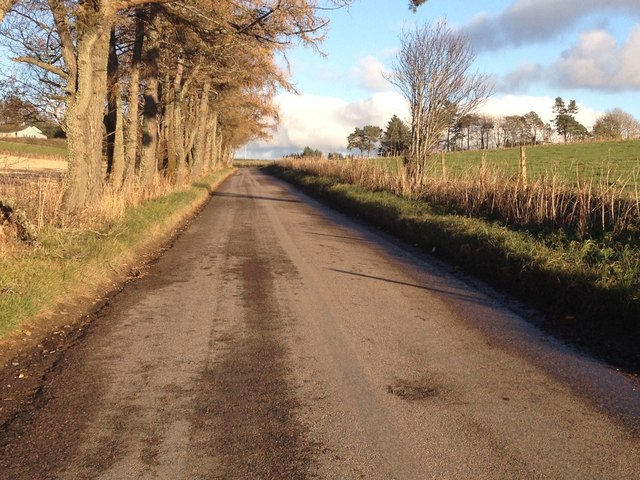
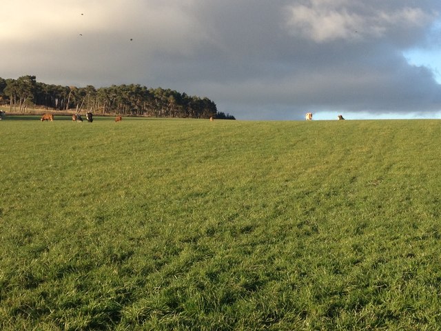
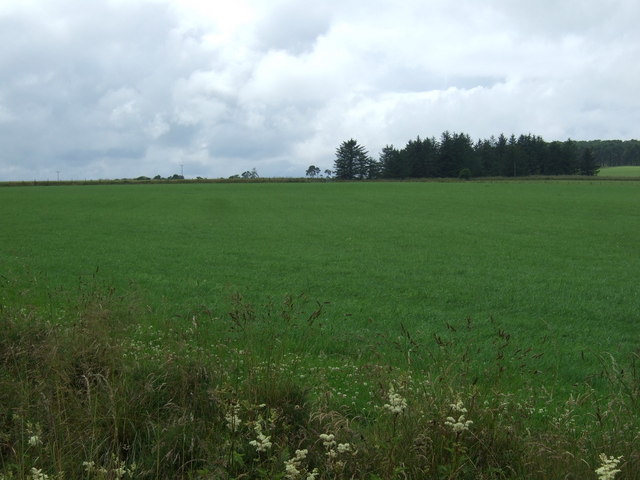
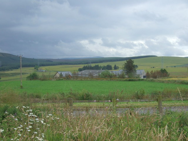
Woodhead is a small rural area located in Banffshire, Scotland. Situated amidst the picturesque landscape, it is known for its beautiful downs and moorlands. The region is characterized by rolling hills covered in lush greenery, dotted with scattered trees and shrubs. The area is abundant in natural beauty and offers breathtaking views of the surrounding countryside.
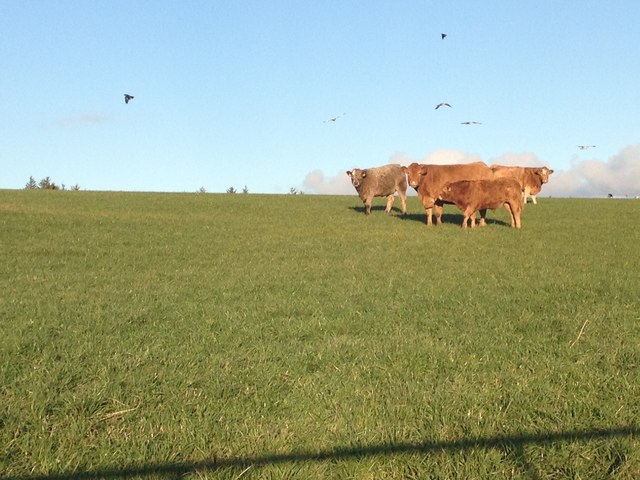
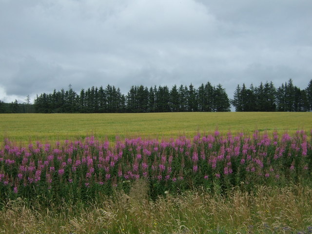
The downs in Woodhead are vast expanses of open grasslands, ideal for livestock grazing. These downs are home to various species of birds, including red grouse and meadow pipits, making it a popular spot for birdwatching enthusiasts. The moorland, on the other hand, is characterized by its heather-covered terrain. The purple hues of the blooming heather during summer create a stunning sight for visitors.
The climate in Woodhead, Banffshire, is typically Scottish, with cool summers and mild winters. The area receives a moderate amount of rainfall throughout the year, which contributes to the lush greenery and vibrant flora.
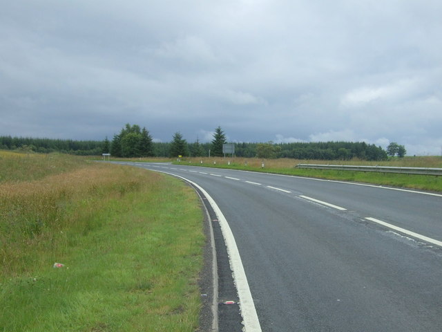
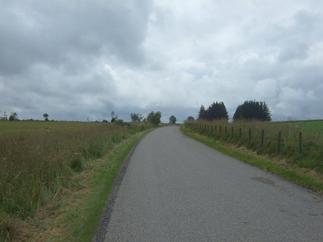
Woodhead is a haven for outdoor enthusiasts, offering numerous hiking and walking trails that traverse the downs and moorlands. These trails provide an opportunity to explore the countryside, soak in the tranquil ambiance, and appreciate the region's natural wonders.
In addition to its natural beauty, Woodhead is also home to a small community of residents who enjoy a peaceful and close-knit lifestyle. The area has limited amenities, with the nearest town providing essential services and facilities.
Overall, Woodhead in Banffshire is a charming rural area renowned for its downs and moorlands, offering a serene escape into nature for visitors and a tranquil home for its residents.
If you have any feedback on the listing, please let us know in the comments section below.
Woodhead Images
Images are sourced within 2km of 57.499006/-2.9368293 or Grid Reference NJ4345. Thanks to Geograph Open Source API. All images are credited.


Woodhead is located at Grid Ref: NJ4345 (Lat: 57.499006, Lng: -2.9368293)
Unitary Authority: Moray
Police Authority: North East
What 3 Words
///recur.toothpick.finer. Near Keith, Moray
Nearby Locations
Related Wikis

Pitlurg Castle
Pitlurg Castle was a 16th-century keep, about 3.5 miles (5.6 km) south of Keith, Banffshire, Scotland, north of the Burn of Davidston, at Mains of Pitlurg...

Ardonald
Ardonald is a rural area near Cairnie in Aberdeenshire, Scotland. == References ==

Blackhillock Substation
Blackhillock Substation is an electrical substation located in the north east of Scotland, near the town of Keith in Moray. It is owned and operated by...

Mill of Towie
The Mill of Towie is a nineteenth-century mill building, with an attached kiln, situated close the River Isla, approximately 2 miles (3.2 km) south of...

Auchindachy railway station
Auchindachy railway station served the village of Auchindachy in Scotland. Served by the Keith and Dufftown railway, it was the last station before Keith...

Towiemore Halt railway station
Towiemore Halt railway station served the hamlet of Towiemore and its distillery as a private and later as a public halt in Moray, Scotland, from 1937...

St Thomas's Church, Keith
St Thomas's Church is a Roman Catholic church in Keith, in Moray, Scotland. It is a cruciform building, exhibiting features of neoclassical and baroque...

Kynoch Park
Kynoch Park is a football ground in Keith in north-east Scotland, which is the home ground of Highland Football League side Keith F.C. It is located on...
Nearby Amenities
Located within 500m of 57.499006,-2.9368293Have you been to Woodhead?
Leave your review of Woodhead below (or comments, questions and feedback).