Arrow Green

Downs, Moorland in Herefordshire

England

Arrow Green

Farm buildings in Cobnash
Farm buildings in Cobnash Credit: Peter Whatley

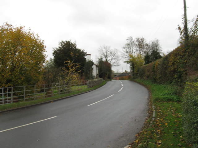
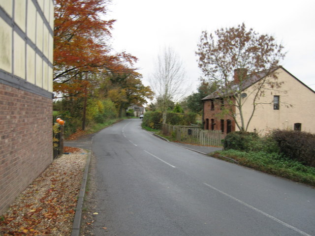
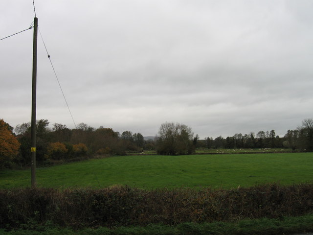
Arrow Green is a picturesque village nestled in the scenic county of Herefordshire, England. Located in the heart of the county, the village is surrounded by stunning downs and moorland, offering residents and visitors alike breathtaking views of the natural landscape.

The village itself is small, with a close-knit community that takes pride in its rural heritage. The traditional architecture of the houses and buildings adds to the charm of the area, creating a tranquil and idyllic atmosphere. Walking through the village, one can admire the well-maintained gardens and quaint cottages that line the streets.

The downs and moorland that surround Arrow Green are a haven for nature enthusiasts and outdoor adventurers. The rolling hills and open spaces provide ample opportunities for hiking, cycling, and horseback riding. The area is also home to a diverse range of flora and fauna, making it a popular spot for birdwatching and wildlife spotting.

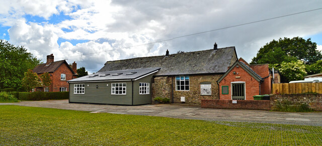
Despite its rural setting, Arrow Green is conveniently located near amenities and services. The nearby town of Hereford is just a short drive away, offering a range of shops, restaurants, and entertainment options. The village itself boasts a community hall, where locals can gather for social events and activities.

Arrow Green, Herefordshire, is a true gem for those seeking a peaceful and picturesque escape amidst the beauty of the downs and moorland. With its natural wonders, friendly community, and convenient location, it is a place that captures the essence of rural England.

If you have any feedback on the listing, please let us know in the comments section below.
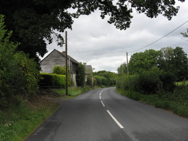
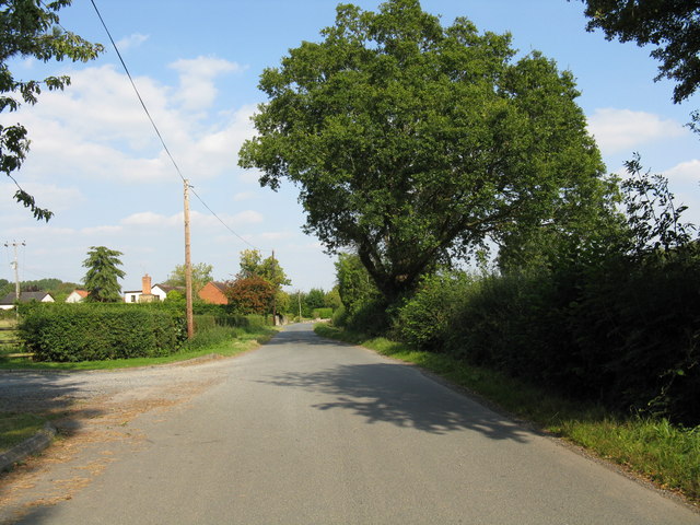
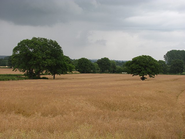
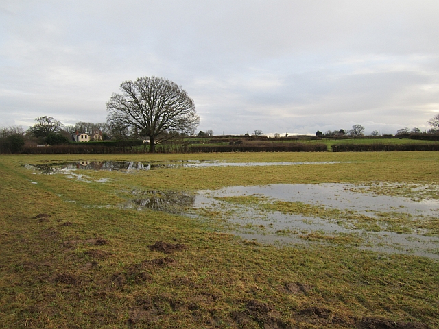
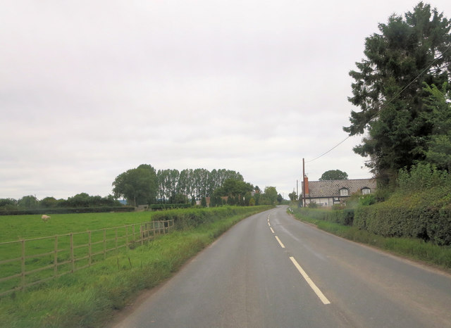
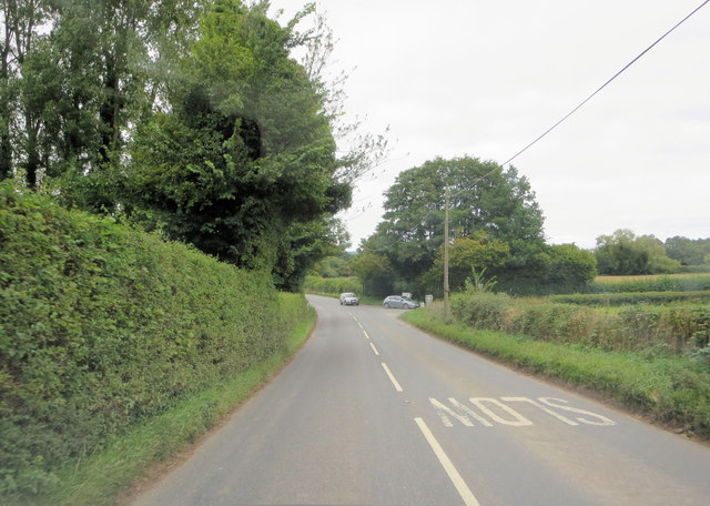
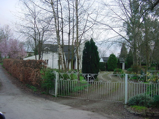
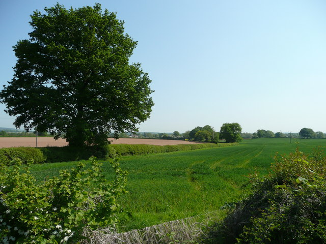
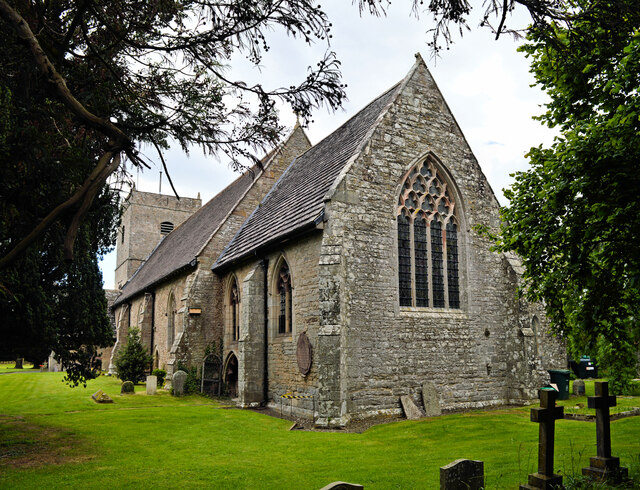
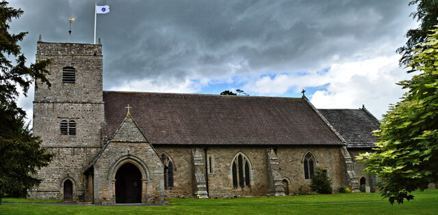
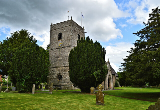
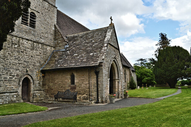
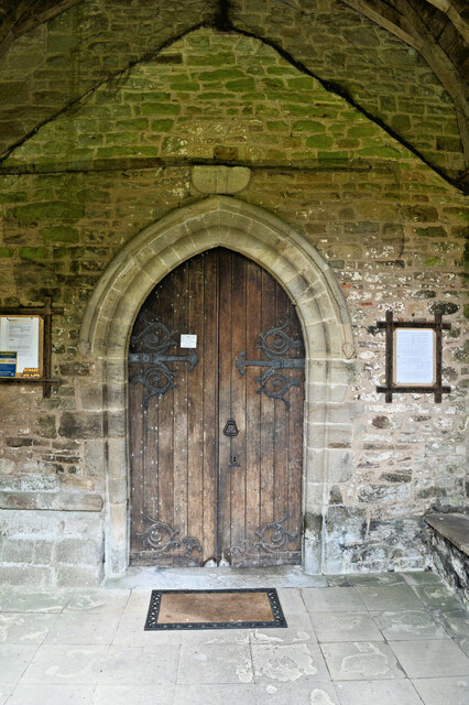
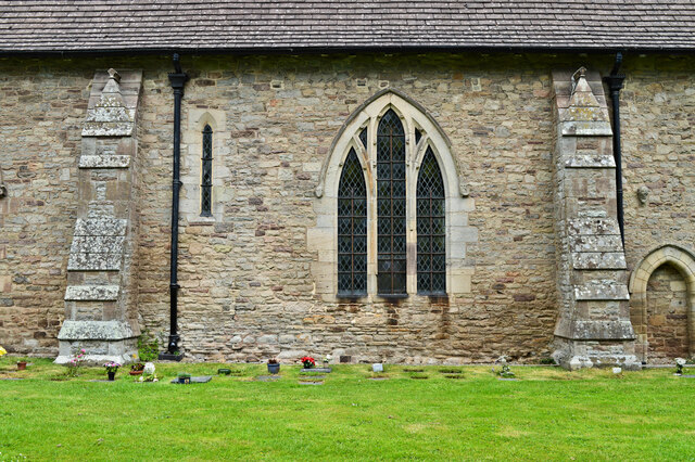
Arrow Green Images

Images are sourced within 2km of 52.224256/-2.8224599 or Grid Reference SO4358. Thanks to Geograph Open Source API. All images are credited.

Farm buildings in Cobnash
Looking east from Hazeldene
Oilseed rape crop Ripening oilseed rape near Kingsland.
Oilseed rape crop
Ripening oilseed rape near Kingsland.
"There is a lot of water about" Quote from the farmer who managed to get a crop of hay off the field during the very wet Summer of 2012.
"There is a lot of water about"
Quote from the farmer who managed to get a crop of hay off the field during the very wet Summer of 2012.
A4110 east of Longmoor
A4110 junction with un-named lane to Cobnash
'Hazeldene' - Shirl Heath, Herefordshire Private house on a narrow lane off A4110, signpost pointing to Street.
'Hazeldene' - Shirl Heath, Herefordshire
Private house on a narrow lane off A4110, signpost pointing to Street.
Cereal crop Arable land to the east of the lane to Street Court.
Cereal crop
Arable land to the east of the lane to Street Court.
B4360 at Cobnash
B4360 at Cobnash
Lane at Cobnash
Lane at Cobnash
Fields at Cobnash
Fields at Cobnash
Eardisland Village Hall The former village school, the subject of a long fight to prevent its closure which made national headlines. The fight was lost and the school closed in 1979. The building was saved and became the village hall. The house to the left was the school master's house.
Eardisland Village Hall
The former village school, the subject of a long fight to prevent its closure which made national headlines. The fight was lost and the school closed in 1979. The building was saved and became the village hall. The house to the left was the school master's house.
St Mary, Eardisland A well loved village church set in an immaculate churchyard with venerable yew trees. An early 13th century foundation, extended in the 14th century. The tower was rebuilt in 1760 by Thomas Hooper of Yarpole and the whole building was restored by Henry Curzon in 1864-5.
St Mary, Eardisland
A well loved village church set in an immaculate churchyard with venerable yew trees. An early 13th century foundation, extended in the 14th century. The tower was rebuilt in 1760 by Thomas Hooper of Yarpole and the whole building was restored by Henry Curzon in 1864-5.
St Mary, Eardisland The 'big solid' South porch, added to the church in the early 14th century.
St Mary, Eardisland
The 'big solid' South porch, added to the church in the early 14th century.
St Mary, Eardisland The 13th century South door, set in a porch of a century later. The door dates from the 1864-5 restoration, as does the wondrous hingework.
St Mary, Eardisland
The 13th century South door, set in a porch of a century later. The door dates from the 1864-5 restoration, as does the wondrous hingework.
St Mary, Eardisland A short stretch of the South wall and you can see much of the building's history. The 13th century is represented by the thin lancet window and the redundant priest's door on the extreme right (not required when the church was extended to the East). The buttresses are also from this period, although they were 'restored' in 1864-5. The three-light 'Herefordshire' window dates from the early 14th century. It is ornamented with ballflower, also a county speciality.
St Mary, Eardisland
A short stretch of the South wall and you can see much of the building's history. The 13th century is represented by the thin lancet window and the redundant priest's door on the extreme right (not required when the church was extended to the East). The buttresses are also from this period, although they were 'restored' in 1864-5. The three-light 'Herefordshire' window dates from the early 14th century. It is ornamented with ballflower, also a county speciality.
Show me another place!

Arrow Green is located at Grid Ref: SO4358 (Lat: 52.224256, Lng: -2.8224599)

Unitary Authority: County of Herefordshire

Police Authority: West Mercia

What 3 Words

///stumps.liquids.downs. Near Kingsland, Herefordshire

Nearby Locations

Arrow Green Arrow Green

Related Wikis

Eardisland

Eardisland ( URDZ-lənd) is a village and civil parish on the River Arrow, about 5 miles (8 km) west of the market town of Leominster, Herefordshire. The...

Monkland and Stretford

Monkland and Stretford is a civil parish in the English county and unitary authority of Herefordshire. The population of the civil parish at the 2011 census...

Kingsland railway station (England)

Kingsland railway station was a station in Kingsland, Herefordshire, England. The station was opened in 1856, closed to passengers in 1955 and closed completely...

Burton Court, Eardisland

Burton Court is a Grade II* listed English country manor house in the Parish of Eardisland, southwest of Leominster, Herefordshire, England. The manor...

Monkland, Herefordshire

Monkland is a small village in the parish of Monkland and Stretford, in Herefordshire, England, about three miles (5 km) west of Leominster. == Origin... ==

Monkland Priory

Monkland Priory was a priory in Monkland, Herefordshire, England at grid reference SO46045768. == References ==

Kingsland, Herefordshire

Kingsland is a small village and civil parish in the English county of Herefordshire, 5 kilometres (3 mi) north-west of Leominster. The population of the...

St Cosmas and St Damian's Church, Stretford

St Cosmas and St Damian's Church is a redundant Anglican church standing in a farmyard in Stretford, Herefordshire, England. It is recorded in the National...

Nearby Amenities

Located within 500m of 52.224256,-2.8224599
Mini Roundabout
Note: New in 2021.
Lat/Long: 52.227913/-2.8220428
Maxweight: 7.5
Note Backward: Maxweight 7.5T Except for access
Lat/Long: 52.2278226/-2.822539
Power: pole
Lat/Long: 52.22174/-2.8188835
Power: pole
Lat/Long: 52.2215461/-2.8204392
Power: pole
Lat/Long: 52.2219437/-2.8173279
Power: pole
Lat/Long: 52.2212635/-2.8224294
Power: pole
Lat/Long: 52.221017/-2.8243982
Power: pole
Lat/Long: 52.2208264/-2.8259163
Give Way
Source: bing
Lat/Long: 52.2278865/-2.8220353
Give Way
Source: bing
Lat/Long: 52.2279571/-2.8220809
The data included in this document is from www.openstreetmap.org. The data is made available under ODbL.

Have you been to Arrow Green?

Leave your review of Arrow Green below (or comments, questions and feedback).