Moss of Craik
Downs, Moorland in Aberdeenshire
Scotland
Moss of Craik
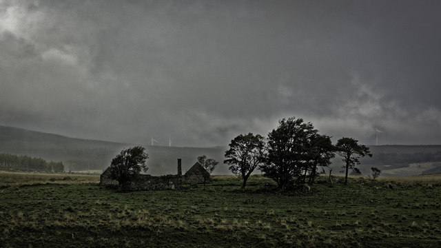
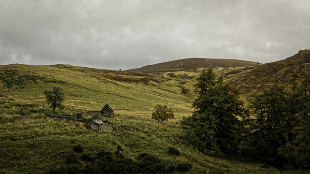
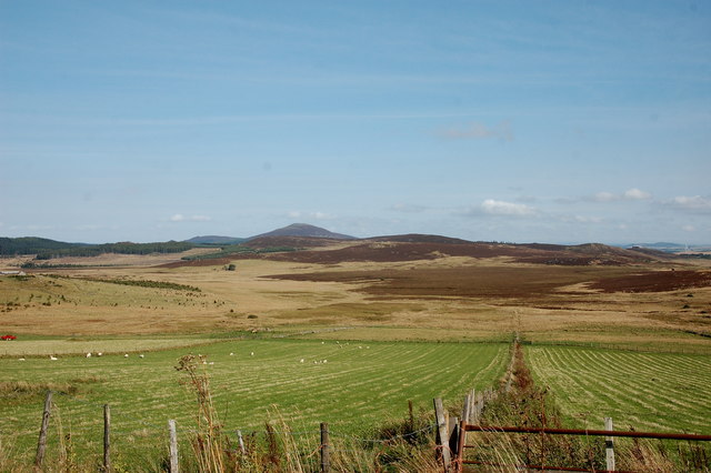
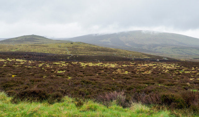
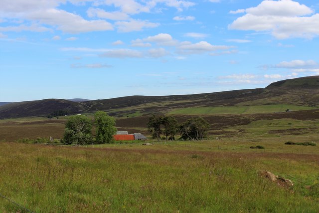
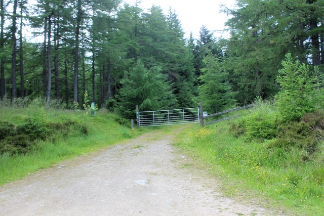
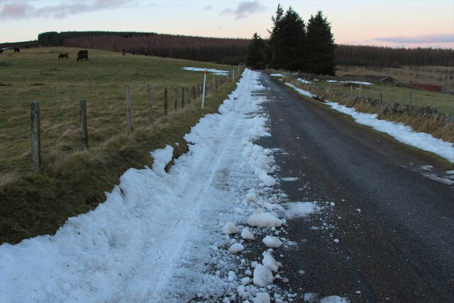
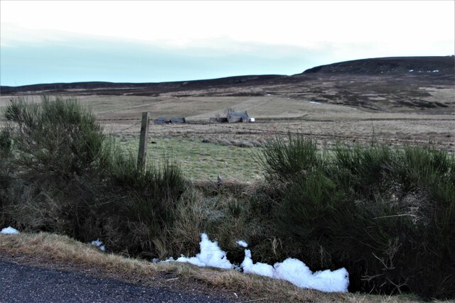
Moss of Craik is a vast expanse of moorland located in Aberdeenshire, Scotland. Covering an area of approximately 5 square kilometers, it is situated in the parish of Auchindoir and Kearn, about 18 kilometers southwest of the town of Alford. Moss of Craik is known for its unique and diverse ecosystem, rich in flora and fauna.
The moorland consists of undulating terrain, characterized by numerous small lochs, peat bogs, and heathland vegetation. It is home to a variety of plant species, including heather, sphagnum moss, cotton grass, and bilberry. These plants thrive in the acidic and waterlogged conditions of the moorland.
The wildlife in Moss of Craik is equally impressive. The area is frequented by many bird species, such as curlews, lapwings, red grouse, and golden plovers. Visitors may also spot mammals like red deer, mountain hares, and numerous species of bats. Additionally, the moorland is home to a diverse range of insects, including dragonflies, butterflies, and moths.
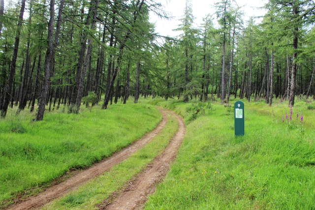
Moss of Craik is a popular destination for nature enthusiasts and birdwatchers. There are several walking trails and viewpoints that offer breathtaking panoramas of the surrounding countryside. Visitors can enjoy the tranquility of the moorland and experience the beauty of the Scottish Highlands.
Although remote and secluded, Moss of Craik is easily accessible by car, with parking facilities available nearby. It is a truly remarkable natural landscape that showcases the unique beauty of Aberdeenshire's downs and moorlands.
If you have any feedback on the listing, please let us know in the comments section below.
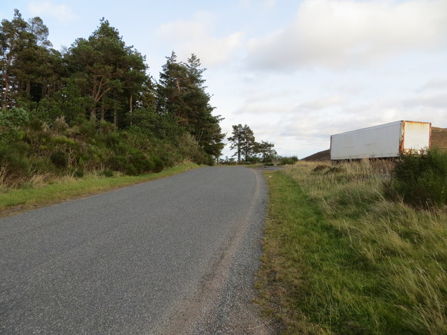
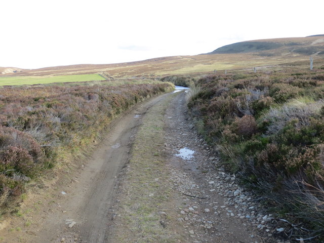
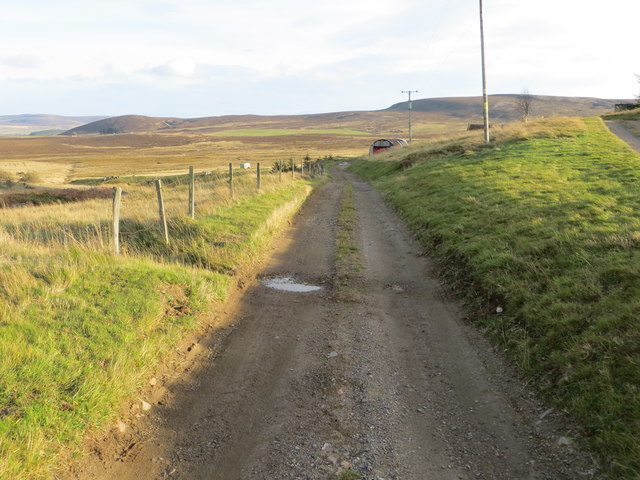
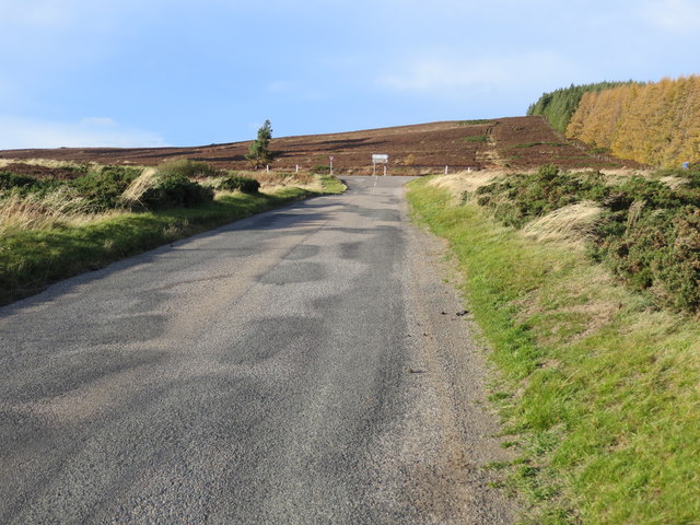
Moss of Craik Images
Images are sourced within 2km of 57.322286/-2.9373587 or Grid Reference NJ4326. Thanks to Geograph Open Source API. All images are credited.


Moss of Craik is located at Grid Ref: NJ4326 (Lat: 57.322286, Lng: -2.9373587)
Unitary Authority: Aberdeenshire
Police Authority: North East
What 3 Words
///caps.disbanded.corn. Near Huntly, Aberdeenshire
Nearby Locations
Related Wikis

Clashindarroch Forest
Clashindarroch Forest is possibly the largest forest in Aberdeenshire, situated to the south-west of the market town of Huntly. Managed by Forest Enterprise...

Lesmoir Castle
Lesmoir Castle was a 16th-century castle, about 2.0 miles (3.2 km) west of Rhynie, Aberdeenshire, Scotland, south-west of Tap o' Noth, at Mains of Lesmoir...
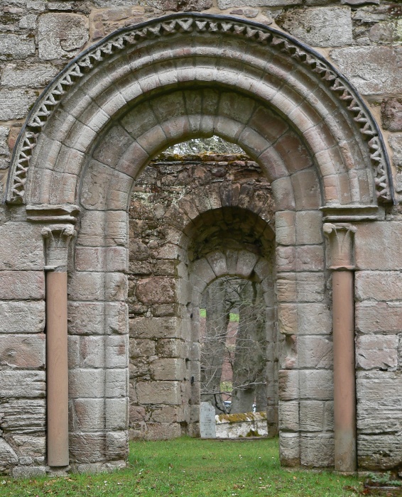
St Mary's Kirk, Auchindoir
St Mary's Kirk at Auchindoir, between Rhynie and Lumsden, in Aberdeenshire, Scotland, is one of the country's finest surviving medieval parish kirks. The...

Wormy Hillock Henge
Wormy Hillock Henge, also known as The Dragon's Grave, is a small henge in Aberdeenshire, Scotland. It is a Scheduled Ancient Monument located in the Clashindarroch...

Cabrach
The Cabrach (Scottish Gaelic: A' Chabrach, A' Chabraich) is an estate and largely depopulated rural community in Moray, Scotland. The meaning of the name...
Clova Monastery
Clova Monastery (also called Cloveth) was a medieval Culdee monastery in Kildrummy, Aberdeenshire, Scotland. == Founding == Clova was founded in the late...
Lumsden, Aberdeenshire
Lumsden is an inland village in Aberdeenshire, Scotland on the A97 road. == Location == It crowns a rising-ground 227 m (745 ft) above sea level amid a...

Tap o' Noth
The Tap o' Noth is a hill and fort, 8 miles south of Huntly in Aberdeenshire, Scotland at grid reference NJ485293. It is the second highest fort in Scotland...
Nearby Amenities
Located within 500m of 57.322286,-2.9373587Have you been to Moss of Craik?
Leave your review of Moss of Craik below (or comments, questions and feedback).