Arkstone Common
Downs, Moorland in Herefordshire
England
Arkstone Common
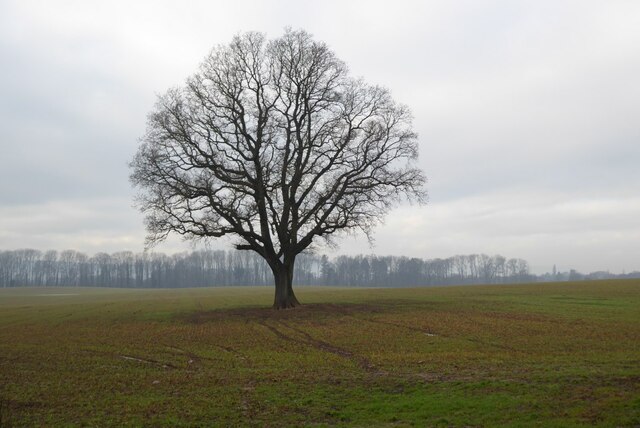
Arkstone Common is a picturesque area located in the county of Herefordshire, England. Situated on the downs and moorland, it offers visitors a stunning landscape filled with natural beauty and tranquility. Covering an area of approximately 500 acres, this common is a haven for nature lovers and outdoor enthusiasts.
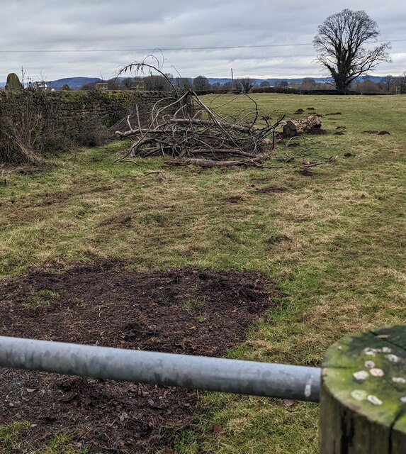
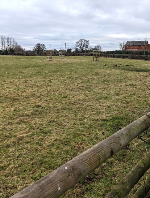
The terrain of Arkstone Common is characterized by rolling hills, open grasslands, and heather-covered moors. The area is home to a diverse range of flora and fauna, including rare plant species and various bird species. Visitors can expect to see wildflowers such as orchids and primroses dotting the landscape, while buzzards and kestrels soar through the skies above.
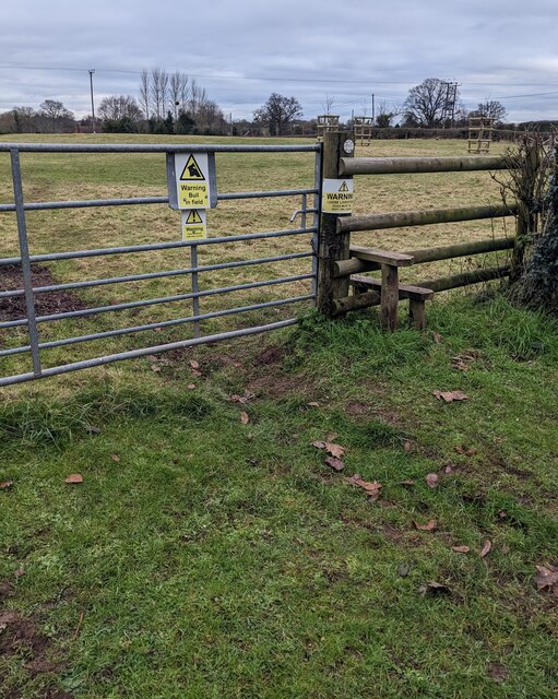
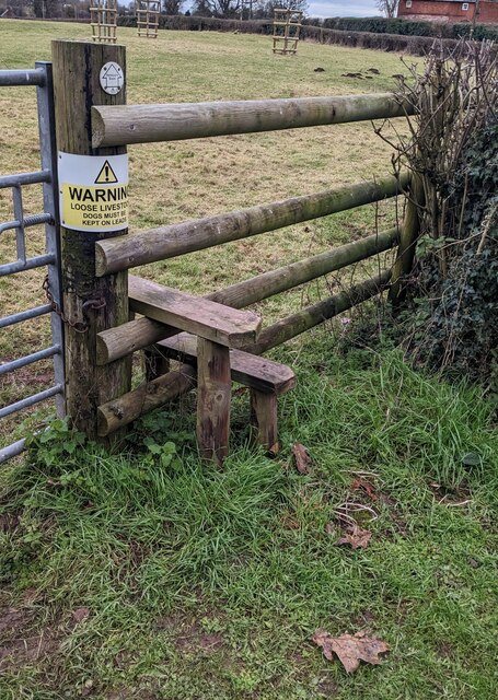
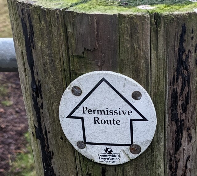
The common is crisscrossed by a network of footpaths and trails, allowing visitors to explore the area on foot or by bike. These paths offer stunning views of the surrounding countryside, and on clear days, it is even possible to catch glimpses of the distant Black Mountains.
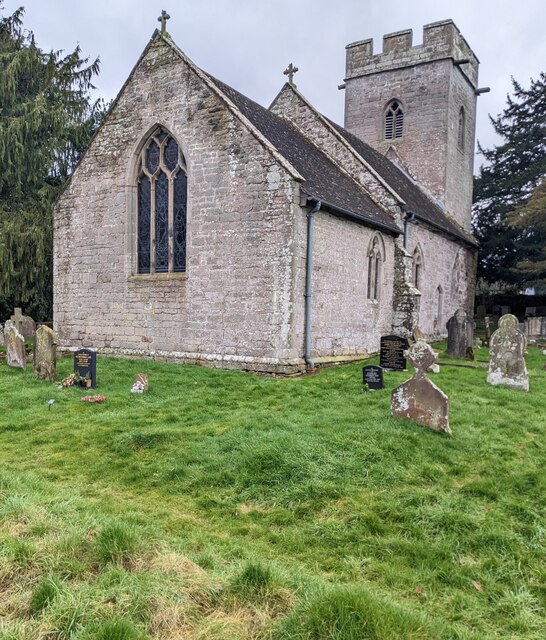
Arkstone Common is also steeped in history, with evidence of ancient settlements and stone circles dating back thousands of years. Archaeological sites can be found scattered throughout the common, adding an extra layer of fascination for history enthusiasts.
Overall, Arkstone Common in Herefordshire truly is a hidden gem. Its natural beauty, diverse wildlife, and historical significance make it a must-visit destination for anyone seeking a peaceful retreat in the heart of the English countryside.
If you have any feedback on the listing, please let us know in the comments section below.
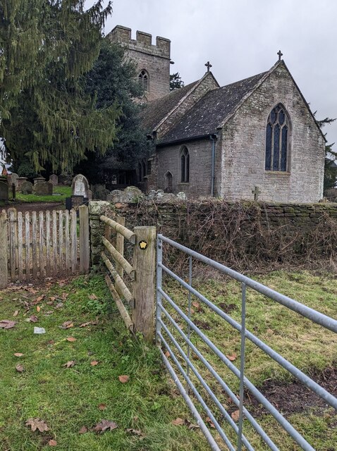
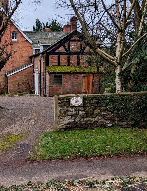
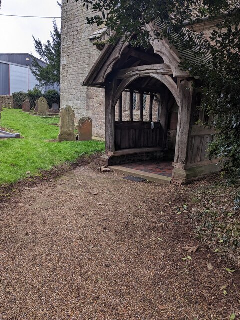
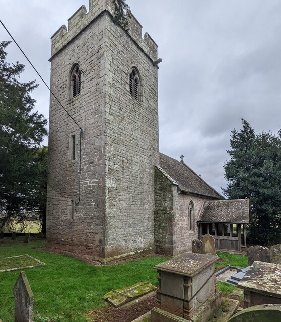
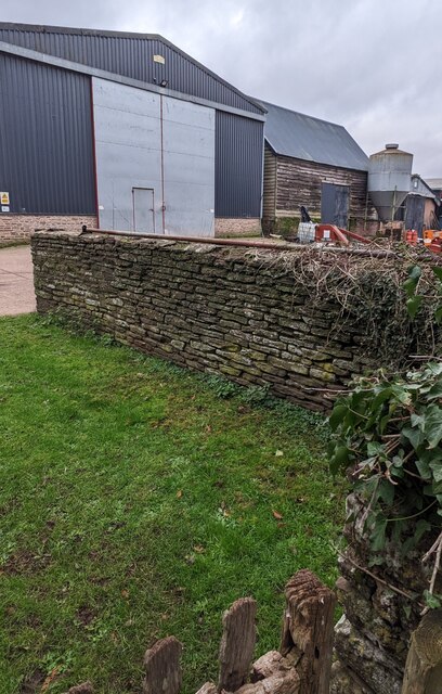
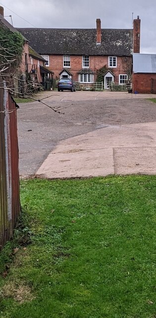
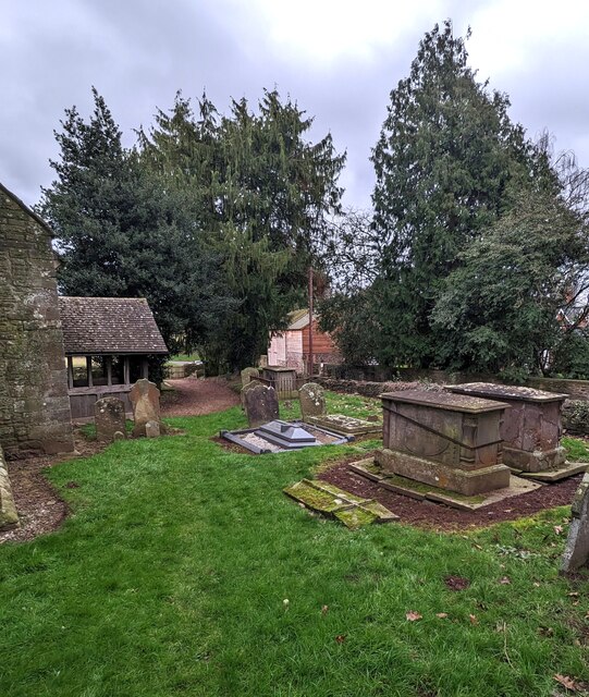
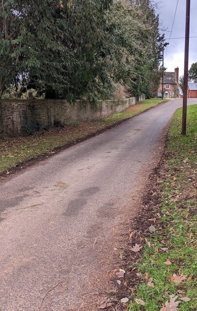
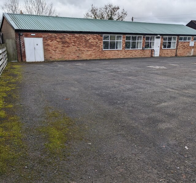
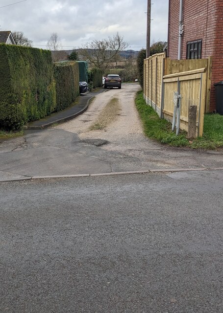
Arkstone Common Images
Images are sourced within 2km of 52.012874/-2.8226278 or Grid Reference SO4335. Thanks to Geograph Open Source API. All images are credited.
Arkstone Common is located at Grid Ref: SO4335 (Lat: 52.012874, Lng: -2.8226278)
Unitary Authority: County of Herefordshire
Police Authority: West Mercia
What 3 Words
///spearhead.declining.exists. Near Kingstone, Herefordshire
Nearby Locations
Related Wikis

Kingstone, Herefordshire
Kingstone is a civil parish and a large village in rural Herefordshire, England. It lies within the historic area of Archenfield, near the Welsh border...

Thruxton, Herefordshire
Thruxton is a small rural village and civil parish in Herefordshire, England. It is located within the historic area of Archenfield, near the Welsh border...
Kingstone High School
Kingstone High School is a mixed secondary school located in Kingstone in the English county of Herefordshire.Previously a community school administered...
Treville, Herefordshire
Treville (called in Welsh Trefelin) is a rural area and former royal forest in the English county of Herefordshire. It is near Wormbridge and other small...
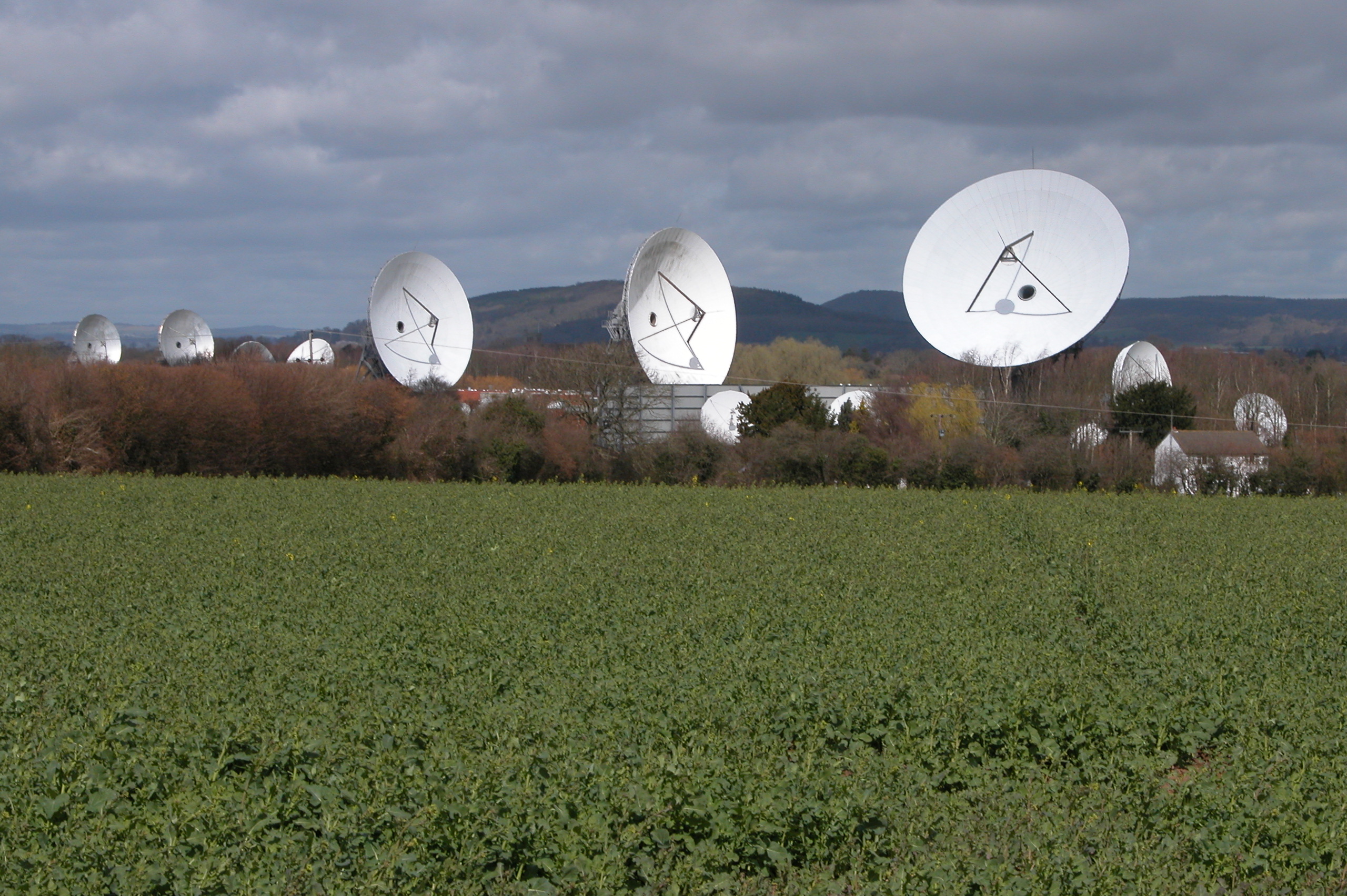
Madley Communications Centre
Madley Communications Centre is BT Group's earth satellite tracking station, between Madley and Kingstone, Herefordshire, England. == Earth position... ==

Allensmore
Allensmore is a village in Herefordshire, England. It is located on the A465 road about 4 miles (6 km) south-west of Hereford. The church is dedicated...

Clehonger
Clehonger is a village and civil parish in Herefordshire, England, and 7 km (4.3 mi) south-west of Hereford. Clehonger is from the old English 'Clayey...
RAF Madley
Royal Air Force Madley, or more simply RAF Madley, was a Royal Air Force station situated 6.2 miles (10 km) south west of Hereford in Herefordshire, England...
Nearby Amenities
Located within 500m of 52.012874,-2.8226278Have you been to Arkstone Common?
Leave your review of Arkstone Common below (or comments, questions and feedback).