Barffs Wood
Downs, Moorland in Cumberland Eden
England
Barffs Wood

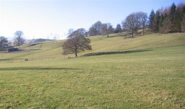
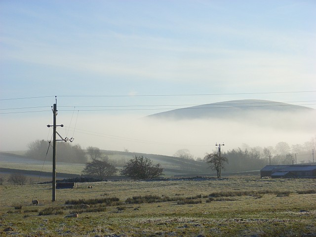
Barffs Wood is a stunning natural area located in the picturesque region of Cumberland, encompassing the Downs and Moorland. Spread across a vast expanse of land, it is renowned for its diverse ecosystem and breathtaking landscapes.
The woodland section of Barffs Wood is home to a rich variety of tree species, including oak, birch, and beech, creating a dense canopy that provides shade and shelter for an array of wildlife. The forest floor is carpeted with vibrant wildflowers, adding a splash of color to the verdant surroundings. Visitors can enjoy leisurely walks along the well-maintained trails, immersing themselves in the tranquil ambiance while listening to the soothing sounds of chirping birds and rustling leaves.
As the woodland transitions into the open Downs, the scenery changes dramatically. Rolling hills covered in heather and gorse stretch as far as the eye can see, offering panoramic views of the surrounding countryside. This vast expanse is perfect for hikers and nature enthusiasts, who can explore the undulating terrain and discover hidden valleys and streams.
The Moorland section of Barffs Wood is characterized by its wide, open spaces and rugged beauty. This untamed landscape is home to an abundance of wildlife, including grouse, deer, and various bird species. Visitors can witness the breathtaking sight of heather in full bloom, as the purple hue blankets the moors, creating a striking contrast against the green grasses.
Barffs Wood, Cumberland (Downs, Moorland) is a haven for nature lovers, offering a diverse range of environments to explore and appreciate the wonders of the natural world.
If you have any feedback on the listing, please let us know in the comments section below.
Barffs Wood Images
Images are sourced within 2km of 54.658478/-2.8823025 or Grid Reference NY4329. Thanks to Geograph Open Source API. All images are credited.


Barffs Wood is located at Grid Ref: NY4329 (Lat: 54.658478, Lng: -2.8823025)
Administrative County: Cumbria
District: Eden
Police Authority: Cumbria
What 3 Words
///mammoths.column.boils. Near Penrith, Cumbria
Nearby Locations
Related Wikis
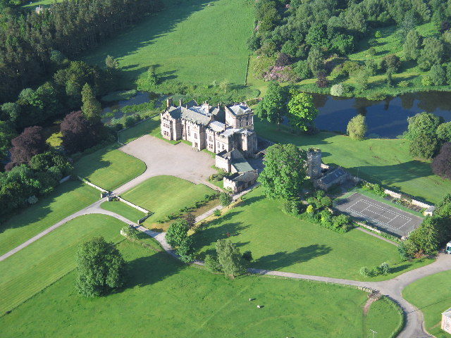
Greystoke Castle
Greystoke Castle is in the village of Greystoke 8 kilometres (5.0 mi) west of Penrith in the county of Cumbria in northern England. (grid reference NY435309...

Greystoke, Cumbria
Greystoke is a village and civil parish on the edge of the Lake District National Park in Cumbria, England, about 4 miles (6.4 km) west of Penrith. At...

Penruddock railway station
Penruddock railway station was situated on the Cockermouth, Keswick and Penrith Railway between Penrith and Cockermouth in Cumberland (now in Cumbria)...
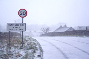
Penruddock
Penruddock is a small village in Cumbria, England, 5.5 miles to the west of Penrith. It forms part of the civil parish of Hutton. == History == The name...
Blencow
Blencow or Blencowe is a small village near Penrith, Cumbria, England. It is divided by the River Petteril into Great Blencow to the south and Little Blencow...

Beckces
Beckces is a hamlet approximately 800 yards (750 metres) west of Penruddock railway station on the former Cockermouth, Keswick & Penrith Railway within...
Hutton, Cumbria
Hutton is a small civil parish about 6 miles (9.7 km) west of Penrith in the English county of Cumbria. The parish contains the small mansion and former...
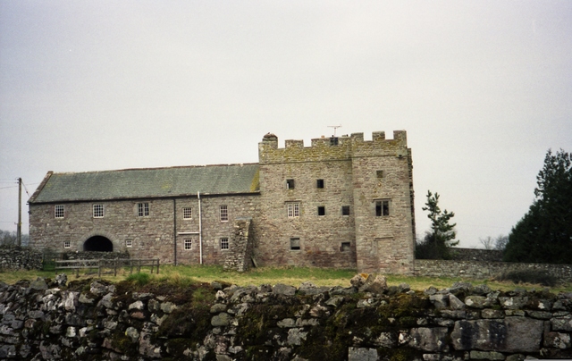
Johnby Hall
Johnby Hall is a fortified manor house near Greystoke, Cumbria. It was built in 1583, incorporating the fabric of a medieval tower house, and has been...
Related Videos

Ullswater Heights Holiday Home and Lodge Park | Full Tour!
Join us inside Ullswater Heights luxury holiday homes and lodges. An in-depth look inside the lodge and all the little things you ...
Walking Tour Around Hoseasons Flusco Wood Luxury Lodges
Our regular scheduling is Tuesdays, Thursday and Friday so please join us then and don't forget to subscribe. Join this channel to ...

Dolly the Reindeer, Horse 🐴 At The Boot & Shoe Inn On Christmas day.
It was so lovely to meet Dolly she did a great job bringing Christmas cheer to the Boot & shoe Inn Cumbria. Drone & landscape ...

Johnby Hall Studio | Dog Friendly Holiday Cottage in the Lake District
Set in the grounds of the 14th Century Johnby Hall estate you will find the characterful Johnby Hall Studio - a cosy hideaway ...
Nearby Amenities
Located within 500m of 54.658478,-2.8823025Have you been to Barffs Wood?
Leave your review of Barffs Wood below (or comments, questions and feedback).