Butleigh Moor

Downs, Moorland in Somerset Mendip

England

Butleigh Moor

Butleigh Drove Butleigh Drove on Butleigh Moor, looking east towards Nythe.
Butleigh Drove Credit: Kevin Pearson

Butleigh Moor is a picturesque and diverse area located in the county of Somerset, England. Spanning across a vast expanse of land, it encompasses both downs and moorland, offering a unique and captivating landscape.

The moorland portion of Butleigh Moor is characterized by its wide open spaces, featuring heather, grasses, and scattered patches of gorse. This area is home to a variety of flora and fauna, including rare bird species and insects. The moorland provides a haven for wildlife, with its marshy areas attracting numerous species of waterfowl and wading birds.

In contrast, the downs of Butleigh Moor offer a distinct topography, with rolling hills and expansive views. These undulating slopes are covered in grasses and wildflowers, creating a vibrant and colorful scene during the warmer months. The downs are also home to grazing livestock, contributing to the pastoral charm of the area.

The landscape of Butleigh Moor is further enhanced by its historical and cultural significance. The remains of ancient settlements, including burial mounds and stone circles, can be found scattered throughout the moorland and downs. These remnants offer a glimpse into the area's rich history and provide opportunities for archaeological exploration.

Visitors to Butleigh Moor can enjoy a range of recreational activities, including hiking, birdwatching, and photography. The tranquility and natural beauty of the area make it an ideal destination for those seeking a peaceful retreat or a chance to connect with nature.

In conclusion, Butleigh Moor in Somerset is a captivating blend of downs and moorland, offering a diverse landscape rich in wildlife and history. Its idyllic scenery and recreational opportunities make it a must-visit location for nature enthusiasts and history buffs alike.

If you have any feedback on the listing, please let us know in the comments section below.

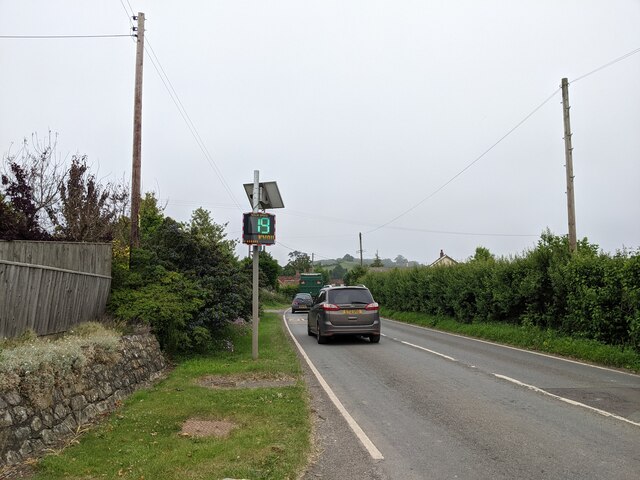
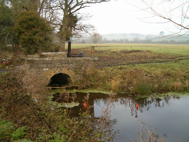
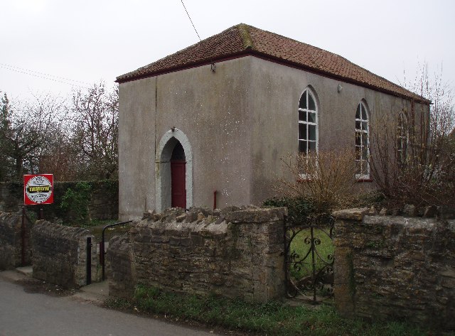
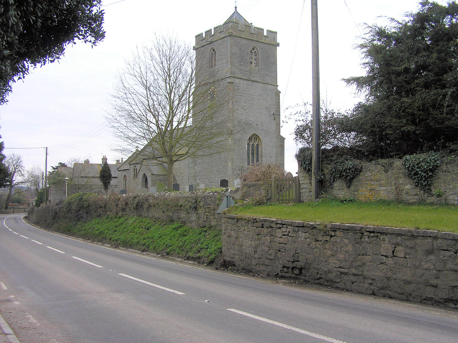
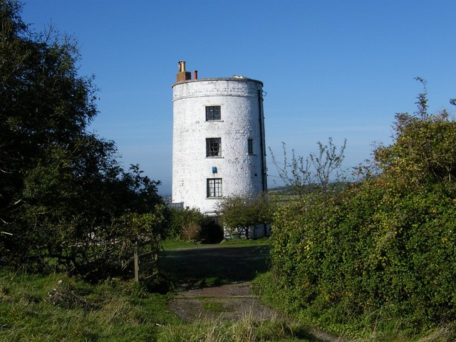
Butleigh Moor Images

Images are sourced within 2km of 51.115139/-2.8132377 or Grid Reference ST4335. Thanks to Geograph Open Source API. All images are credited.

Butleigh Drove Butleigh Drove on Butleigh Moor, looking east towards Nythe.
Butleigh Drove
Butleigh Drove on Butleigh Moor, looking east towards Nythe.
Butleigh Moor A view south over Butleigh Moor, taken from Butleigh Drove.  Pedwill Hill in the distance.
Butleigh Moor
A view south over Butleigh Moor, taken from Butleigh Drove. Pedwill Hill in the distance.
Old Milestone, A39, Main Street, West of Walton The milestone was located near Lynch Farm on the grass verge on the north side of the road. Parish of Walton (Mendip district). Cast iron post, plated iron casting design, erected by the Bridgwater turnpike trust in the 19th century.  The date of the image is not known but it was taken before the milestone went missing sometime between 2000 and 2002.

Inscription reads: 
WELLS / 10 /GLASTONBURY / 4 /B. WATER / 10 ; LINCH FARM painted on front edge 

Grade II Listed, List Entry Number: 1058721
<span class="nowrap"><a title="https://historicengland.org.uk/listing/the-list/list-entry/1058721" rel="nofollow ugc noopener" href="https://historicengland.org.uk/listing/the-list/list-entry/1058721">Link</a><img style="margin-left:2px;" alt="External link" title="External link - shift click to open in new window" src="https://s1.geograph.org.uk/img/external.png" width="10" height="10"/></span>

Milestone Society National ID: SO_BWWL10
Old Milestone, A39, Main Street, West of Walton
The milestone was located near Lynch Farm on the grass verge on the north side of the road. Parish of Walton (Mendip district). Cast iron post, plated iron casting design, erected by the Bridgwater turnpike trust in the 19th century. The date of the image is not known but it was taken before the milestone went missing sometime between 2000 and 2002. Inscription reads: WELLS / 10 /GLASTONBURY / 4 /B. WATER / 10 ; LINCH FARM painted on front edge Grade II Listed, List Entry Number: 1058721 LinkExternal link Milestone Society National ID: SO_BWWL10
Ashcott - Parish Church All Saints Church has a 15th century tower.
Ashcott - Parish Church
All Saints Church has a 15th century tower.
Ashcott - Church Interior view of All Saints Church.
Ashcott - Church
Interior view of All Saints Church.
Ashcott - Font Plain Norman font within All Saints Church.
Ashcott - Font
Plain Norman font within All Saints Church.
Speed check sign at Pedwell
The A361 about to join the A39
Butleigh Moor Looking towards Priest Hill.
Butleigh Moor
Looking towards Priest Hill.
Butleigh Moor Drove
Butleigh Moor Drove
Nythe Sluice on the Eighteen Feet Rhyne
Rhyne and Accommodation Bridge
South Door of the Parish Church, Ashcott
The Pipers, Ashcott At a complex junction between the A39, A361 and a minor road.
The Pipers, Ashcott
At a complex junction between the A39, A361 and a minor road.
Chapel at Pedwell Tucked away on a quiet lane this plain little chapel is looking for a new owner.
Chapel at Pedwell
Tucked away on a quiet lane this plain little chapel is looking for a new owner.
The Albion Inn. Ashcott The sign on the wall reads, Truckstop, Restaurant, All Welcome. The A39 on the left of the picture carries a lot of heavy goods vehicles.
The Albion Inn. Ashcott
The sign on the wall reads, Truckstop, Restaurant, All Welcome. The A39 on the left of the picture carries a lot of heavy goods vehicles.
Ashcott Inn and A39 The A39 is a very busy road running through the village of Ashcott.
Ashcott Inn and A39
The A39 is a very busy road running through the village of Ashcott.
Chapel Hill A typical streetscene in this Somerset village.
Chapel Hill
A typical streetscene in this Somerset village.
Show me another place!

Butleigh Moor is located at Grid Ref: ST4335 (Lat: 51.115139, Lng: -2.8132377)

Administrative County: Somerset

District: Mendip

Police Authority: Avon and Somerset

What 3 Words

///combos.upcoming.scatters. Near Street, Somerset

Related Wikis

Ashcott

Ashcott is a small village and civil parish located in the Sedgemoor area of Somerset in the south-west of England. The village has a population of 1...

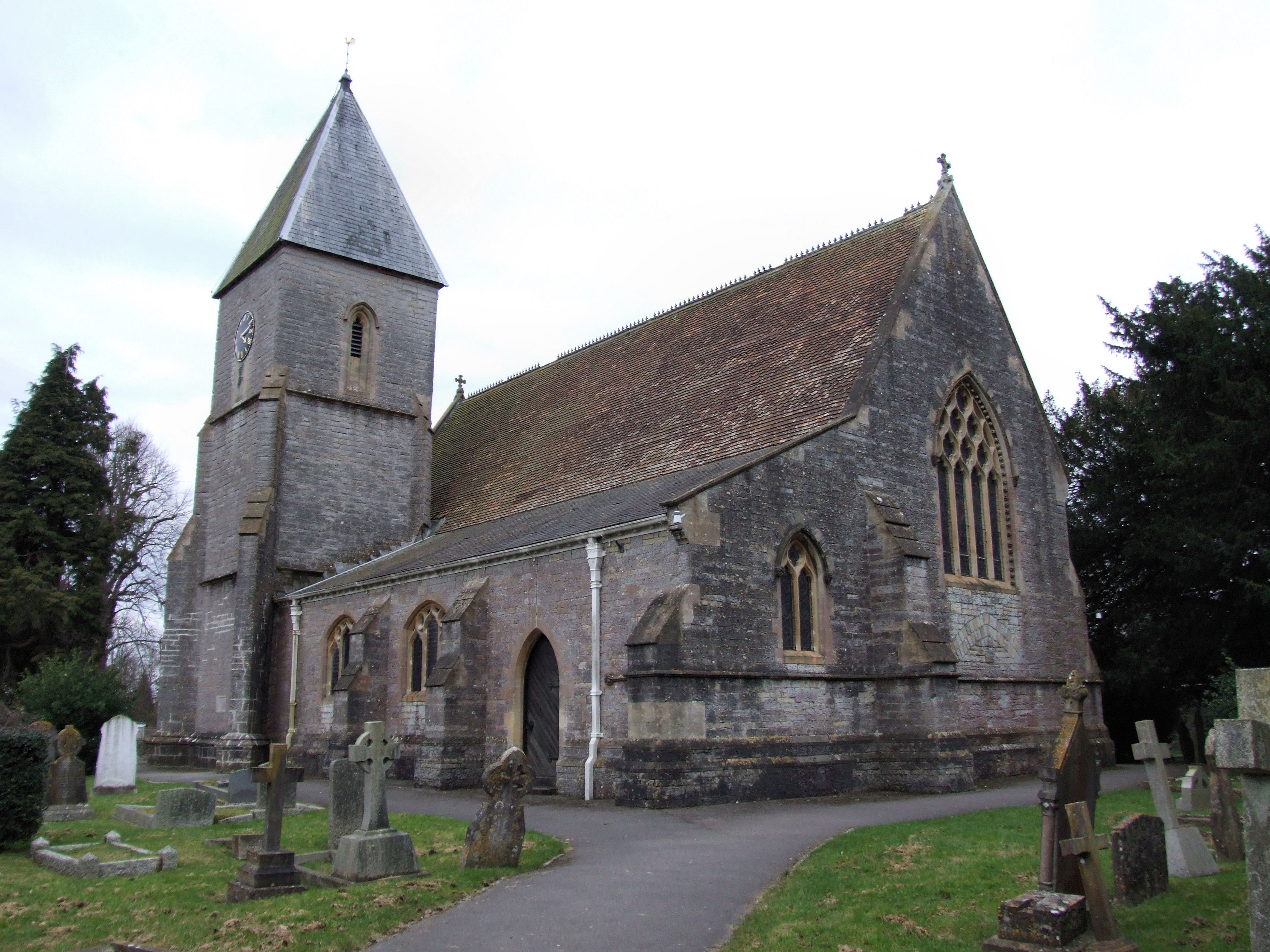
Church of All Saints, Ashcott

The Anglican Church of All Saints in Ashcott, Somerset, England was built in the 15th century. It is a Grade II* listed building. == History == The church...

Shapwick Moor

Shapwick Moor is an area of 138 acres (0.56 km2) of farmland on the Somerset levels bordering Shapwick Heath and Cattcot Heath. It is part of the Brue...

Greinton

Greinton is a village and civil parish in Somerset, England, situated on the Somerset Levels and Moors at the foot of the Polden Hills, 9 kilometres (5...

Walton, Somerset

Walton is a village and civil parish on the Polden Hills in Somerset, England, 1.5 miles (2.4 km) west of Street. The parish includes the hamlet of Asney...

Holy Trinity Church, Walton

Holy Trinity Church is a Church of England church in Walton, Somerset, England. It was rebuilt in 1865–66 to the design of Rev. J. F. Turner and is a Grade...

Church of the Blessed Virgin Mary, Shapwick

The Church of the Blessed Virgin Mary in Shapwick within the English county of Somerset was consecrated in 1331. It is a Grade II* listed building. �...

Shapwick, Somerset

Shapwick is a village on the Polden Hills overlooking the Somerset Moors, in Somerset, England. It is situated to the west of Glastonbury. == History... ==

Nearby Amenities

Located within 500m of 51.115139,-2.8132377
Power: tower
Lat/Long: 51.1145075/-2.8189115
Power: tower
Lat/Long: 51.11513/-2.8146406
Power: tower
Lat/Long: 51.1157601/-2.8103008
Power: tower
Lat/Long: 51.1163139/-2.8065302
Redlands Fm 33kV Solar Pk
Brand: National Grid
Brand Wikidata: Q1465461
Operator: National Grid Electricity Distribution Plc
Operator Old: Western Power Distribution
Operator Wikidata: Q7988183
Owner: National Grid Electricity Distribution (South West) Plc
Owner Wikidata: Q114397866
Power: substation
Ref GB Wpd Site: 218017
Voltage: 33000
Lat/Long: 51.1150038/-2.8168331
The data included in this document is from www.openstreetmap.org. The data is made available under ODbL.

Have you been to Butleigh Moor?

Leave your review of Butleigh Moor below (or comments, questions and feedback).