Black Moss
Downs, Moorland in Aberdeenshire
Scotland
Black Moss
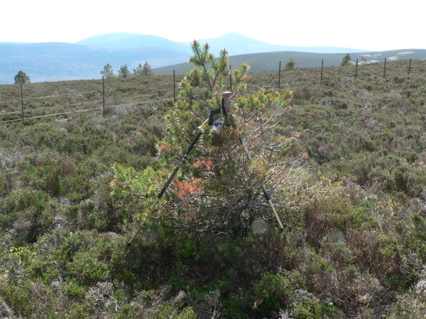
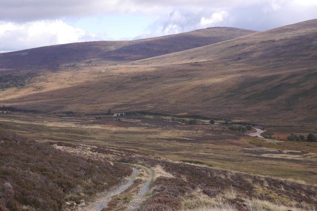
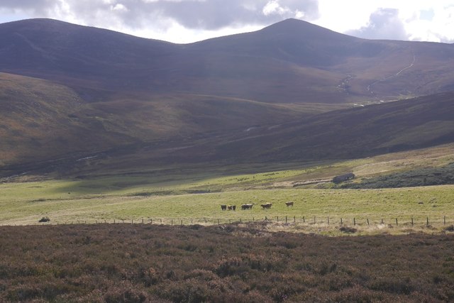
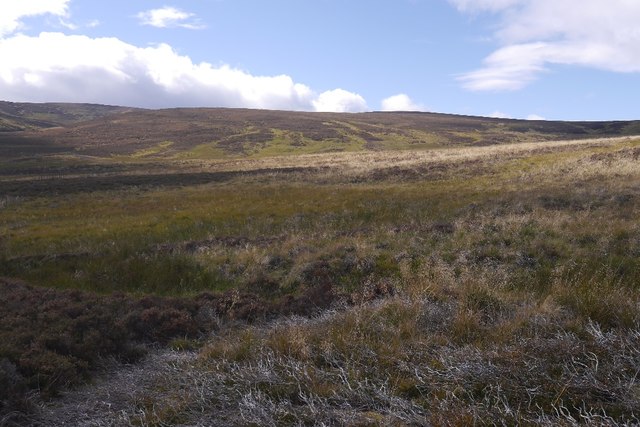
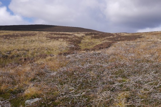
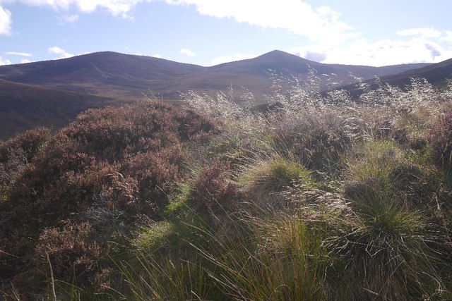
Black Moss is a picturesque area located in Aberdeenshire, Scotland. Situated amidst the stunning Downs and Moorland, this region is renowned for its natural beauty and tranquil atmosphere. The landscape of Black Moss is characterized by rolling hills covered in lush green grass and heather, providing a captivating sight for visitors.
The area boasts a diverse array of flora and fauna, making it an ideal destination for nature enthusiasts. Wildflowers such as bluebells and primroses dot the landscape, adding vibrant splashes of color to the scenery. In addition, visitors may come across various species of birds, including skylarks and pheasants, as well as occasional sightings of deer or rabbits.
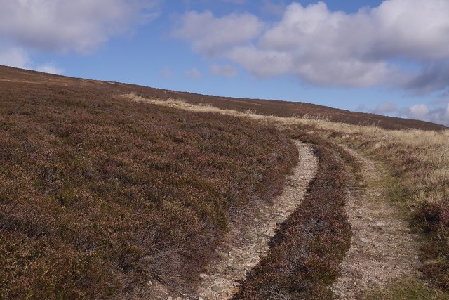
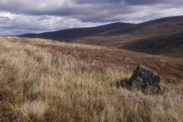
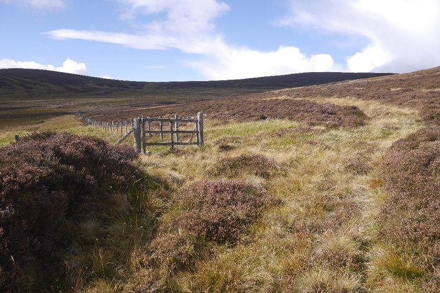
The Black Moss Downs provide ample opportunities for outdoor activities such as hiking, walking, and picnicking. The well-maintained trails offer breathtaking views of the surrounding countryside, making it a popular spot for locals and tourists alike. The moorland, with its rugged terrain and expansive vistas, offers a sense of solitude and serenity to those who venture further afield.
Black Moss is also steeped in history, with several ancient archaeological sites scattered throughout the area. Neolithic standing stones and stone circles can be found, providing glimpses into the rich cultural heritage of the region. These historical landmarks serve as a reminder of the area's long and storied past.
In conclusion, Black Moss, Aberdeenshire, is a captivating destination that combines natural beauty, recreational opportunities, and historical significance. Whether visitors seek outdoor adventures or a peaceful retreat, this region offers something for everyone to enjoy.
If you have any feedback on the listing, please let us know in the comments section below.
Black Moss Images
Images are sourced within 2km of 57.031667/-2.9697682 or Grid Reference NO4193. Thanks to Geograph Open Source API. All images are credited.


Black Moss is located at Grid Ref: NO4193 (Lat: 57.031667, Lng: -2.9697682)
Unitary Authority: Aberdeenshire
Police Authority: North East
What 3 Words
///buckets.smoothly.boast. Near Ballater, Aberdeenshire
Nearby Locations
Related Wikis

Kincardine and Deeside
Kincardine and Deeside was formerly (1975–96) a local government district in the Grampian Region of Scotland. In 1996 it was included in the Aberdeenshire...

Cambus O'May railway station
Cambus O'May railway station or Cambus O'May Halt, served Aberdeenshire, Scotland from 1876 to 1966 on the Deeside Railway. It was intended to serve the...

Dee Castle
Dee Castle was a 15th-century castle, about 5 miles (8.0 km) east of Ballater, Aberdeenshire, Scotland, and south of the River Dee.It may be known alternatively...

Cambus O' May bridge
The Cambus O' May bridge spans the River Dee to the east of Ballater, Aberdeenshire, Scotland. It was paid for by the estate of Alexander Gordon, who...

Tullich
Tullich (, Scottish Gaelic: An Tulach) is a village in Aberdeenshire, Scotland. It is known as the birthplace of St. Nathalan and also as the site of...
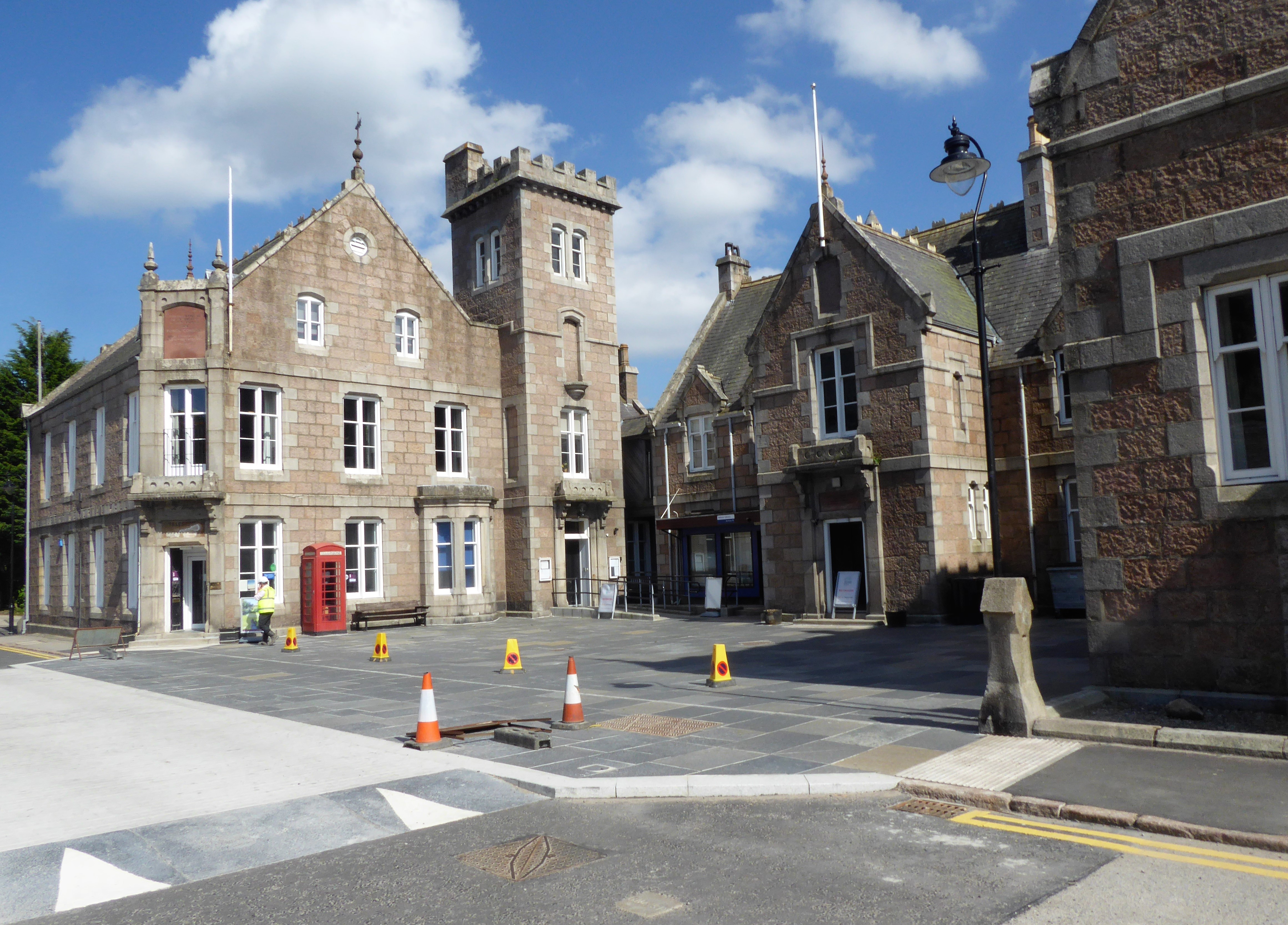
Victoria and Albert Halls
The Victoria and Albert Halls is a complex of municipal buildings in Station Square, Ballater, Aberdeenshire, Scotland. The structure, which accommodates...

Ballater railway station
Ballater railway station is a former station in the village of Ballater in Aberdeenshire, Scotland. The station was formerly the terminus of a branch line...
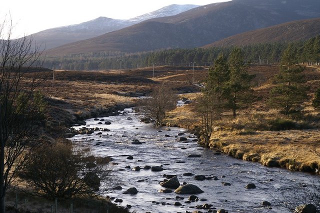
River Muick
River Muick () is a river of the Grampian Mountains of Aberdeenshire, Scotland. A tributary of the River Dee, it flows for about 6 kilometres (3.7 mi)...
Nearby Amenities
Located within 500m of 57.031667,-2.9697682Have you been to Black Moss?
Leave your review of Black Moss below (or comments, questions and feedback).