Aller Common Moor

Downs, Moorland in Somerset South Somerset

England

Aller Common Moor

Flats fields, and a railway line out there somewhere
Flats fields, and a railway line out there somewhere Credit: Rob Purvis

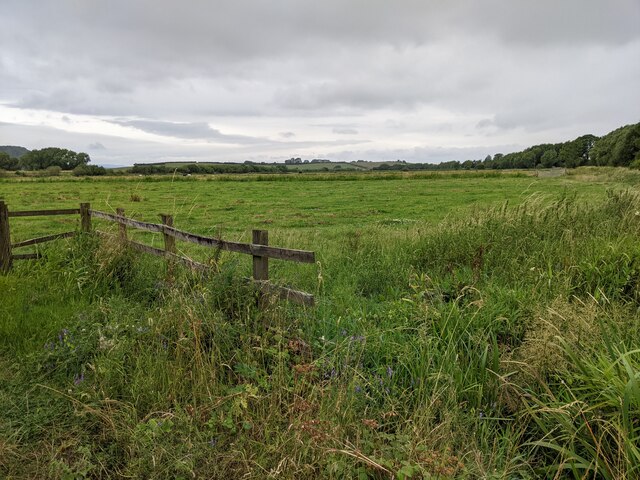
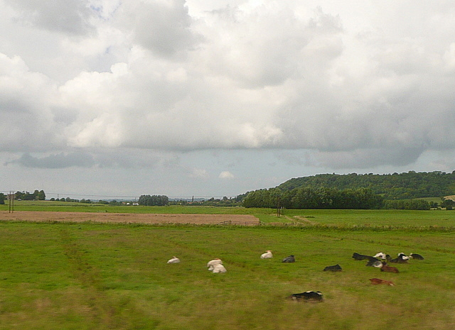
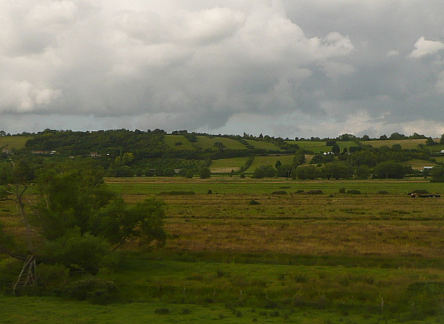
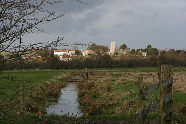
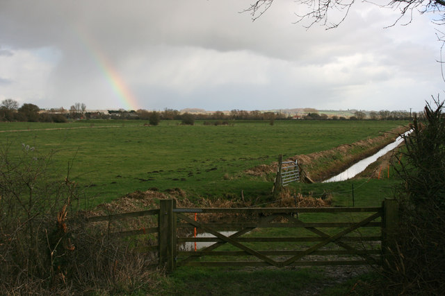
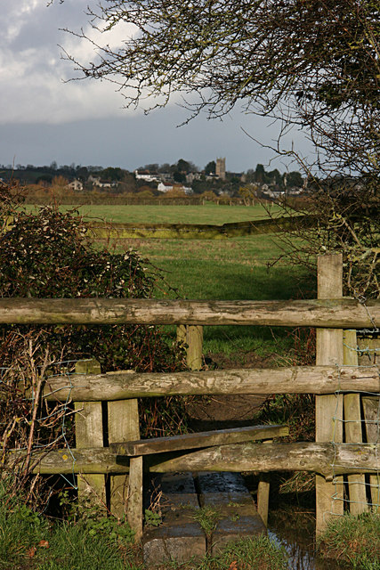
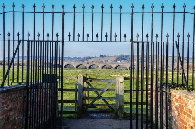
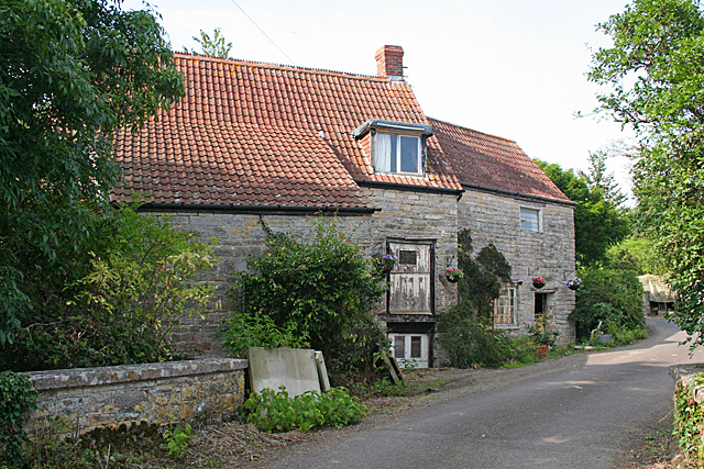
Aller Common Moor is a beautiful expanse of moorland located in Somerset, England. Covering an area of approximately 120 hectares, the moor is situated near the village of Aller and is part of the Somerset Levels and Moors Ramsar site. It forms an important part of the Somerset Levels Special Protection Area due to its significance for birdlife.

The moorland is characterized by its diverse vegetation, which includes heather, gorse, and grasses. This variety of plant life provides a rich habitat for numerous bird species, making Aller Common Moor a popular site for birdwatching. Visitors can spot a range of birds, including the Eurasian curlew, lapwing, redshank, and skylark.

In addition to its birdlife, Aller Common Moor is home to a number of mammal species, such as rabbits, foxes, and deer. The moorland also contains several small ponds and ditches, which support a variety of amphibians and insects.

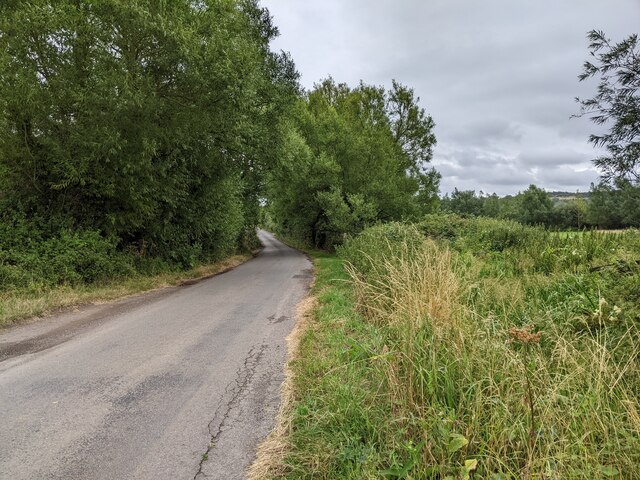
The site is managed by Natural England in collaboration with local stakeholders to ensure the conservation and enhancement of its natural features. Access to the moor is available via public footpaths and bridleways, allowing visitors to explore its serene surroundings.

Aller Common Moor offers a peaceful and picturesque setting, where visitors can immerse themselves in the beauty of the Somerset countryside while observing its diverse wildlife.

If you have any feedback on the listing, please let us know in the comments section below.

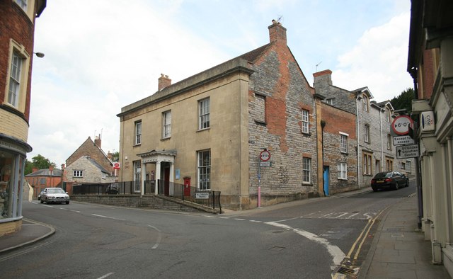
Aller Common Moor Images

Images are sourced within 2km of 51.046035/-2.8397296 or Grid Reference ST4127. Thanks to Geograph Open Source API. All images are credited.

Flats fields, and a railway line out there somewhere
Lane heading towards Wick
Signposts, Huish Episcopi, Somerset
St. Mary's, Huish Episcopi, Somerset
The Post Office at Langport
Port Moor Part of the Somerset Levels, where all the lines you see are one sort of ditch or another.  Looking north towards Aller Hill <a href="https://www.geograph.org.uk/gridref/ST4029">ST4029</a>
This photo was taken from the 1158 Penzance to London Paddington train, having left Taunton at 1529.
Port Moor
Part of the Somerset Levels, where all the lines you see are one sort of ditch or another. Looking north towards Aller Hill ST4029 This photo was taken from the 1158 Penzance to London Paddington train, having left Taunton at 1529.
Poolmead An area of what looks like particularly wet and poor quality pasture to the north-west of Langport, despite the many drainage ditches.  On the map this has almost a paddy field quality.
This photo was taken from the 1158 Penzance to London Paddington train, having left Taunton at 1529.
Poolmead
An area of what looks like particularly wet and poor quality pasture to the north-west of Langport, despite the many drainage ditches. On the map this has almost a paddy field quality. This photo was taken from the 1158 Penzance to London Paddington train, having left Taunton at 1529.
Langport across Huish Level
Huish Level, Langport
Langport from the footpath to Drayton
Langport: Bow Street
Langport: View across Little Moor towards the Viaduct
Langport: Bow Street
Langport Telephone Exchange Situated in Old Market Square off the A378 North Street, this modern TE would have replaced a smaller building from the GPO era during the early 1970s. Besides Langport, this TE also serves Aller, Bramwell, Curry Rivel, Drayton, Henley, High Ham, Huish Episcopi, Low Ham, Muchelney, Pibsbury, Pitney and Wearne nearby. This TE has (01458) 25xxxx numbers, the (01458) referring to the Glastonbury group of TEs, and its postcode is TA10 9RP.
Langport Telephone Exchange
Situated in Old Market Square off the A378 North Street, this modern TE would have replaced a smaller building from the GPO era during the early 1970s. Besides Langport, this TE also serves Aller, Bramwell, Curry Rivel, Drayton, Henley, High Ham, Huish Episcopi, Low Ham, Muchelney, Pibsbury, Pitney and Wearne nearby. This TE has (01458) 25xxxx numbers, the (01458) referring to the Glastonbury group of TEs, and its postcode is TA10 9RP.
High Ham: Paradise Mill Watermill, disused, in a parish which in earlier centuries had several windmills. With miller's cottage attached. Paradise Mill may have served the villagers of nearby Wearne
High Ham: Paradise Mill
Watermill, disused, in a parish which in earlier centuries had several windmills. With miller's cottage attached. Paradise Mill may have served the villagers of nearby Wearne
The Town Hall, Langport
Langport West station, with the final train to Yeovil Langport West station on the day that the Yeovil Town - Durston line closed. The final train for Yeovil awaits departure at dusk.
Langport West station, with the final train to Yeovil
Langport West station on the day that the Yeovil Town - Durston line closed. The final train for Yeovil awaits departure at dusk.
Road to the rifle range
Show me another place!

Aller Common Moor is located at Grid Ref: ST4127 (Lat: 51.046035, Lng: -2.8397296)

Administrative County: Somerset

District: South Somerset

Police Authority: Avon and Somerset

What 3 Words

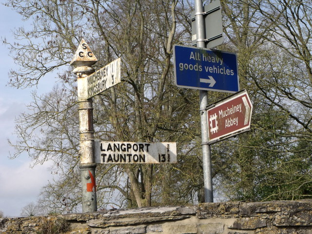
///warmers.trophy.unpainted. Near Langport, Somerset

Related Wikis

Aller, Somerset

Aller is a village and parish in Somerset, England, situated 5 miles (8.0 km) west of Somerton on the A372 road towards Bridgwater. The village has a population...

Warehouse, Langport

The Warehouse in Great Bow Yard Langport, Somerset, England is an example of Victorian industrial architecture. The Warehouse was built in the late 18th...

Langport East railway station

Langport East was a railway station situated in Langport in Somerset. The station also served Huish Episcopi. The station was on the Langport and Castle...
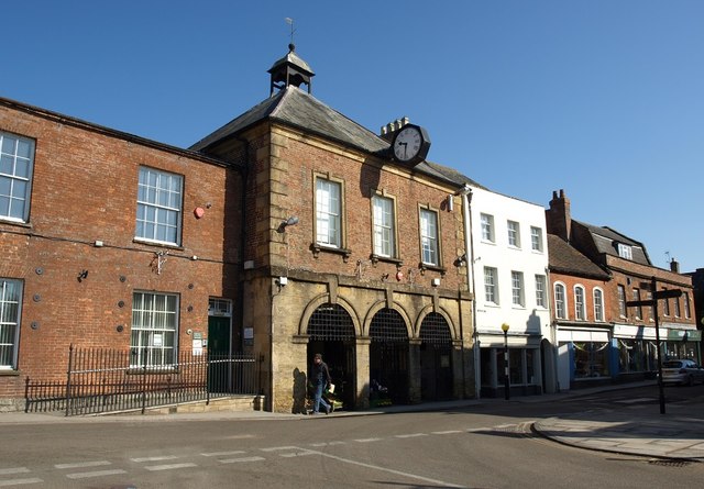
Langport Town Hall

Langport Town Hall is a municipal building in Bow Street in Langport, Somerset, England. The building, which is the meeting place of Langport Town Council...

Nearby Amenities

Located within 500m of 51.046035,-2.8397296
Monk's Leaze Clyse
Man Made: monitoring_station
Monitoring Water Level: yes
Operator: Environment Agency
Recording Automated: yes
Recording Remote: yes
Lat/Long: 51.0446843/-2.8438002
Power: pole
Lat/Long: 51.0438499/-2.8450745
Power: pole
Lat/Long: 51.0442829/-2.8440283
Power: pole
Lat/Long: 51.0446766/-2.8430708
Power: pole
Lat/Long: 51.0451801/-2.8418708
Power: pole
Lat/Long: 51.0456837/-2.840642
Power: pole
Lat/Long: 51.0461938/-2.8394132
Power: pole
Lat/Long: 51.046694/-2.8382131
Power: pole
Lat/Long: 51.0471779/-2.837047
Power: pole
Lat/Long: 51.0476798/-2.835826
Power: pole
Lat/Long: 51.0481685/-2.8346338
Power: pole
Lat/Long: 51.0436874/-2.8455089
Power: pole
Lat/Long: 51.0435766/-2.8448209
Power: pole
Lat/Long: 51.0433766/-2.8432481
Power: pole
Lat/Long: 51.0422635/-2.8427324
Power: pole
Lat/Long: 51.0419609/-2.8425992
Power: pole
Lat/Long: 51.0420792/-2.8428309
Power: pole
Lat/Long: 51.0422576/-2.842899
Power: pole
Lat/Long: 51.0432242/-2.843269
Power: pole
Lat/Long: 51.0435567/-2.8434044
Power: pole
Lat/Long: 51.0442608/-2.8431295
Power: pole
Lat/Long: 51.0446126/-2.8429904
The data included in this document is from www.openstreetmap.org. The data is made available under ODbL.

Have you been to Aller Common Moor?

Leave your review of Aller Common Moor below (or comments, questions and feedback).