Halmyre Mains

Settlement in Peeblesshire

Scotland

Halmyre Mains

Gatepost with - OS Cut Mark - Kaimes <span class="nowrap"><a title="https://www.bench-marks.org.uk/bm30104" rel="nofollow ugc noopener" href="https://www.bench-marks.org.uk/bm30104">Link</a><img style="margin-left:2px;" alt="External link" title="External link - shift click to open in new window" src="https://s1.geograph.org.uk/img/external.png" width="10" height="10"/></span>
Gatepost with - OS Cut Mark - Kaimes Credit: thejackrustles

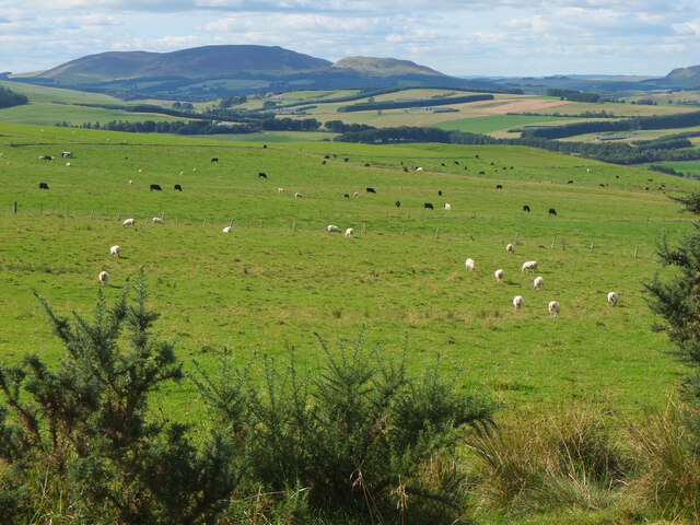
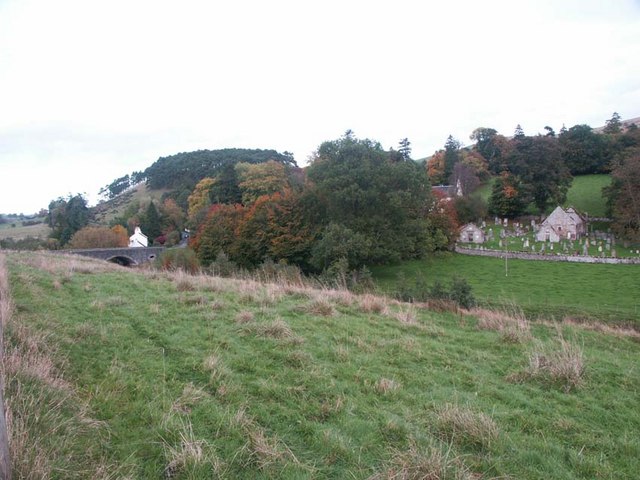
Halmyre Mains is a small rural hamlet located in Peeblesshire, Scotland. Situated approximately 4 miles southeast of the town of Peebles, it is nestled amidst picturesque rolling hills and farmland. The hamlet is part of the wider Halmyre estate, which has a rich history dating back several centuries.

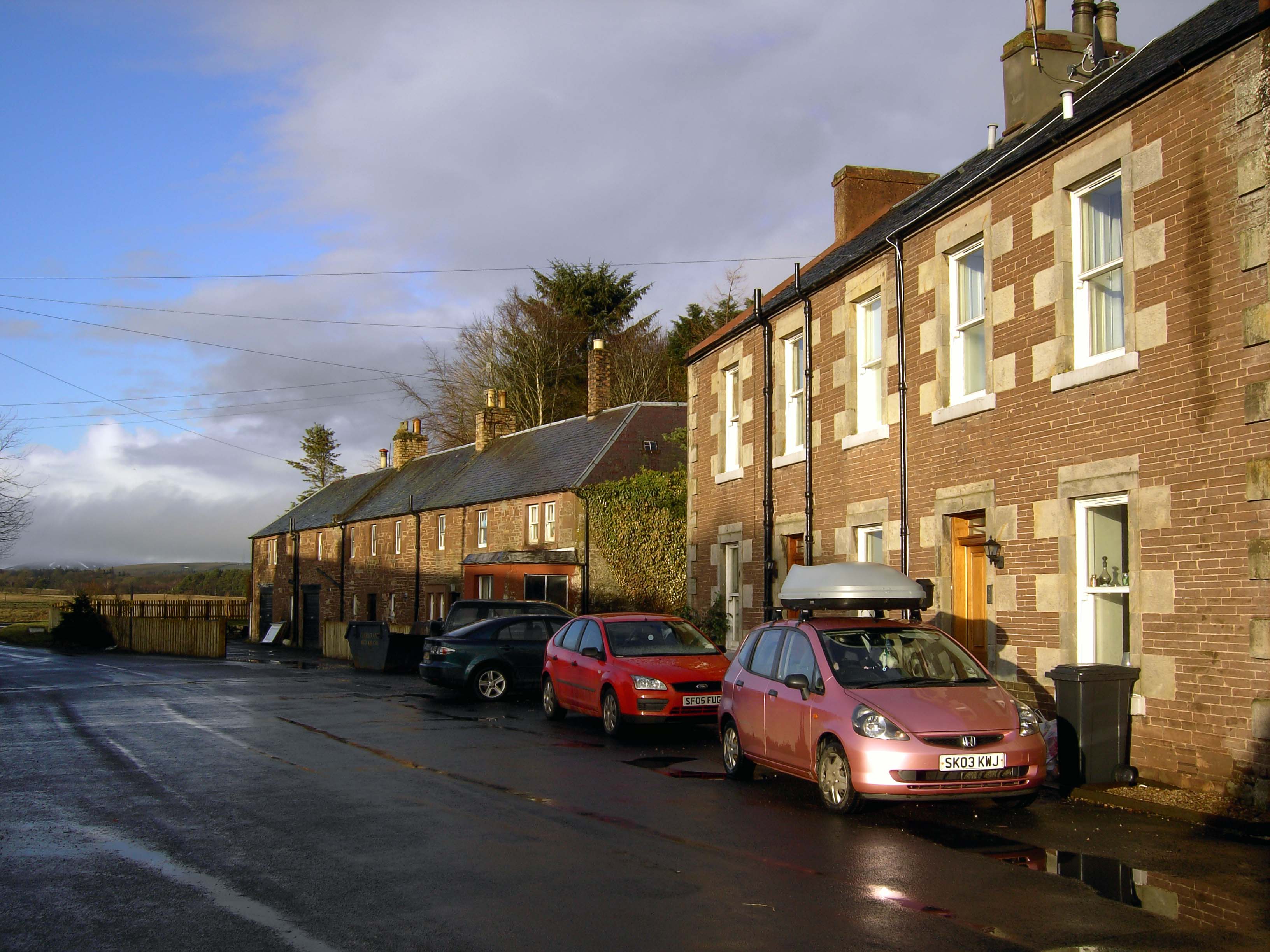
Halmyre Mains consists of a handful of houses and farm buildings, making it a close-knit community. The houses predominantly exhibit traditional Scottish architecture, with their stone walls and slate roofs, blending harmoniously with the natural landscape. The surrounding farmland is mainly used for agriculture, with fields of crops and grazing areas for livestock.

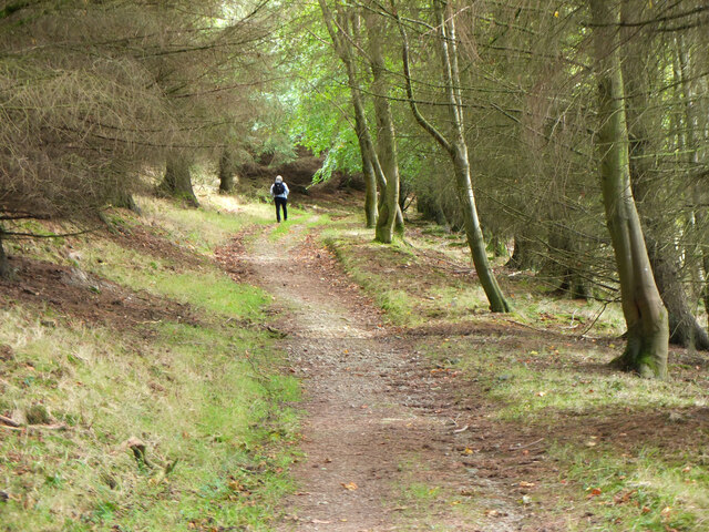
The hamlet is known for its tranquil and idyllic setting, offering residents and visitors a peaceful retreat from bustling urban life. It also provides ample opportunities for outdoor activities such as walking, hiking, and cycling, with various scenic trails nearby.

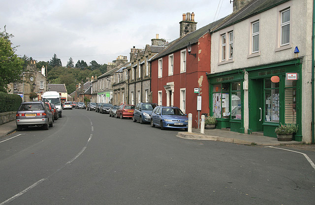
While Halmyre Mains itself lacks commercial amenities, the nearby town of Peebles offers a range of services including shops, restaurants, and schools. The town also hosts various cultural events and festivals throughout the year, attracting tourists from near and far.

Overall, Halmyre Mains is a charming rural community that embodies the beauty of the Scottish countryside. With its peaceful atmosphere, stunning surroundings, and close proximity to amenities in Peebles, it offers a delightful place to live or visit for those seeking a tranquil and picturesque setting.

If you have any feedback on the listing, please let us know in the comments section below.

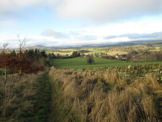
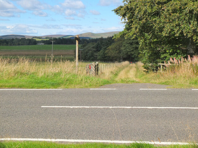
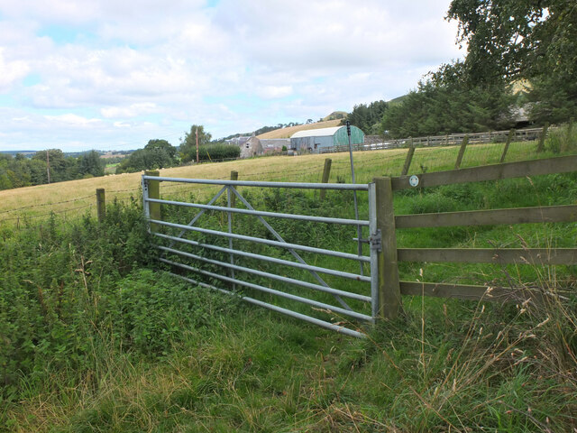
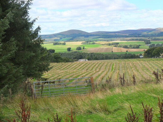
Halmyre Mains Images

Images are sourced within 2km of 55.72727/-3.3230932 or Grid Reference NT1749. Thanks to Geograph Open Source API. All images are credited.

Gatepost with - OS Cut Mark - Kaimes <span class="nowrap"><a title="https://www.bench-marks.org.uk/bm30104" rel="nofollow ugc noopener" href="https://www.bench-marks.org.uk/bm30104">Link</a><img style="margin-left:2px;" alt="External link" title="External link - shift click to open in new window" src="https://s1.geograph.org.uk/img/external.png" width="10" height="10"/></span>
Gatepost with - OS Cut Mark - Kaimes
OS Cut Mark - Kaimes <span class="nowrap"><a title="https://www.bench-marks.org.uk/bm30104" rel="nofollow ugc noopener" href="https://www.bench-marks.org.uk/bm30104">Link</a><img style="margin-left:2px;" alt="External link" title="External link - shift click to open in new window" src="https://s1.geograph.org.uk/img/external.png" width="10" height="10"/></span>
OS Cut Mark - Kaimes
Entrance to Kaimes
Entrance to Kaimes
Old drove road above Romannobridge This forms part of the Cross Borders Drove Road, a long distance walking route from Harperrig, south-west of Edinburgh, to Hawick.
Old drove road above Romannobridge
This forms part of the Cross Borders Drove Road, a long distance walking route from Harperrig, south-west of Edinburgh, to Hawick.
Track on Broomlee Hill A good view opens up from the track on the Cross Borders Drove Road.
Track on Broomlee Hill
A good view opens up from the track on the Cross Borders Drove Road.
Path near Woodend Quarry The path down from Broomlee Hill has been re-routed through a new tree plantation east of the quarry.
Path near Woodend Quarry
The path down from Broomlee Hill has been re-routed through a new tree plantation east of the quarry.
New deer fence, Woodend A fence with a pedestrian gate enclosing new tree plantation east of Woodend Quarry.
New deer fence, Woodend
A fence with a pedestrian gate enclosing new tree plantation east of Woodend Quarry.
Path junction near Kaimes A signpost for the Cross Borders Drove Road taking a field edge route to the A701 and Romannobridge.
Path junction near Kaimes
A signpost for the Cross Borders Drove Road taking a field edge route to the A701 and Romannobridge.
Farmland near Halmyre House The Cross Borders Drove Road follows field edges southwest to reach the A701 and Romannobridge.
Farmland near Halmyre House
The Cross Borders Drove Road follows field edges southwest to reach the A701 and Romannobridge.
Drove Road crossing the A701 at Halmyre Vigilance needed here where the Cross Borders Drove Road from West Linton crosses a fast stretch on the A701.
Drove Road crossing the A701 at Halmyre
Vigilance needed here where the Cross Borders Drove Road from West Linton crosses a fast stretch on the A701.
Romanno Mains A hill farm seen from the Cross Borders Drove Road.
Romanno Mains
A hill farm seen from the Cross Borders Drove Road.
Farmland above Romannobridge Looking from the Cross Borders Drove Road towards Mendick Hill (451m).
Farmland above Romannobridge
Looking from the Cross Borders Drove Road towards Mendick Hill (451m).
Path from Romannobridge The Cross Borders Drove Road follows this path to cross the col between Drum Maw and Hag Law.
Path from Romannobridge
The Cross Borders Drove Road follows this path to cross the col between Drum Maw and Hag Law.
Sheep and cattle, Drum Maw Pasture on the lower slopes of Drum Maw with Black Mount (516m) on the skyline.
Sheep and cattle, Drum Maw
Pasture on the lower slopes of Drum Maw with Black Mount (516m) on the skyline.
Ruined steading, Halmyre Mains A conversion abandoned in 2008 shortly after the removal of the roof.  An attempt at revival of the project in 2011: <a href="https://www.geograph.org.uk/photo/2261220">NT1749 : Halmyre Mains</a>
Ruined steading, Halmyre Mains
A conversion abandoned in 2008 shortly after the removal of the roof. An attempt at revival of the project in 2011: NT1749 : Halmyre Mains
Old milestone A newer photograph of the milestone at Halmyre Mains on the original line of what is now the A701.  See <a href="https://www.geograph.org.uk/photo/6646769">NT1748 : Old milestone</a>.   It is marked on the 1897 OS map.
Old milestone
A newer photograph of the milestone at Halmyre Mains on the original line of what is now the A701. See NT1748 : Old milestone. It is marked on the 1897 OS map.
Old milestone A close up of the top of the 18 mile stone showing the cut benchmark and pin in the square recess.
Old milestone
A close up of the top of the 18 mile stone showing the cut benchmark and pin in the square recess.
Show me another place!

Halmyre Mains is located at Grid Ref: NT1749 (Lat: 55.72727, Lng: -3.3230932)

Unitary Authority: The Scottish Borders

Police Authority: The Lothians and Scottish Borders

What 3 Words

///roadways.electrode.limped. Near West Linton, Scottish Borders

Nearby Locations

Halmyre Mains

Related Wikis

Romannobridge

Romanno Bridge is a village on the Lyne Water, on the A701, in the Scottish Borders area of Scotland. Settlements nearby include West Linton, Halmyre,...

Broomlee railway station

Broomlee railway station served the village of West Linton, Peeblesshire, Scotland, from 1864 to 1933 on the Leadburn, Linton and Dolphinton Railway....

Newlands, Scottish Borders

Newlands is a parish in the Tweeddale committee area of the Scottish Borders council area, in southeastern Scotland. == Geography == Newlands is on the...

Bordlands

Bordlands is a village in the Parish of Newlands in the Scottish Borders area of Scotland. The former name of Bordlands was Boreland. == See also == List...

West Linton

West Linton (Scottish Gaelic: Liontan Ruairidh) is a village and civil parish in southern Scotland, on the A702. It was formerly in the county of Peeblesshire...

Macbie Hill railway station

Macbie Hill railway station served the hamlet of Coalyburn, Peeblesshire, Scotland, from 1864 to 1933 on the Leadburn, Linton and Dolphinton Railway....
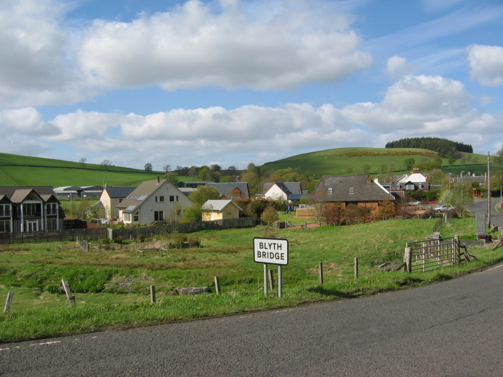
Blyth Bridge

Blyth Bridge is a small hamlet in the Scottish Borders area of Scotland, near to West Linton. It is located in a bend on the A701 which goes from Moffat...

Tweeddale

Tweeddale (Scottish Gaelic: Srath Thuaidh/Tuaidhdail) is a committee area and lieutenancy area in the Scottish Borders council area in south-eastern Scotland...

Nearby Amenities

Located within 500m of 55.72727,-3.3230932
Bus Stop
Halmyre Loan
Bus: yes
Naptan AtcoCode: 69001308
Naptan Bearing: SW
Naptan CommonName: Halmyre Loan
Naptan Indicator: at
Naptan Landmark: Halmyre Loan
Naptan NaptanCode: 72726737
Naptan Street: A701
Operator: Scottish Borders Council
Public Transport: platform
Ref: 69001308
Source: NaPTAN
Lat/Long: 55.7258236/-3.3246365
Bus Stop
Halmyre Loan
Bus: yes
Naptan AtcoCode: 69001309
Naptan Bearing: NE
Naptan CommonName: Halmyre Loan
Naptan Indicator: opp
Naptan Landmark: Halmyre Loan
Naptan NaptanCode: 72726735
Naptan Street: A701
Operator: Scottish Borders Council
Public Transport: platform
Ref: 69001309
Source: NaPTAN
Lat/Long: 55.726023/-3.324484
Bus Stop
Halmyre Mains
Bus: yes
Naptan AtcoCode: 69001310
Naptan Bearing: N
Naptan CommonName: Halmyre Mains
Naptan Indicator: at
Naptan Landmark: Shelter
Naptan NaptanCode: 72726594
Naptan Street: A701
Operator: Scottish Borders Council
Public Transport: platform
Ref: 69001310
Source: NaPTAN
Lat/Long: 55.7285154/-3.3191702
Bus Stop
Halmyre Mains
Bus: yes
Naptan AtcoCode: 6900720
Naptan Bearing: S
Naptan CommonName: Halmyre Mains
Naptan Indicator: opp
Naptan Landmark: Shelter
Naptan NaptanCode: 72724853
Naptan Street: A701
Operator: Scottish Borders Council
Public Transport: platform
Ref: 6900720
Shelter: yes
Source: NaPTAN
Lat/Long: 55.7282112/-3.3190485
Material: wood
Power: pole
Lat/Long: 55.7236767/-3.3217147
Material: wood
Power: pole
Lat/Long: 55.7233202/-3.3216342
Material: wood
Power: pole
Lat/Long: 55.7237009/-3.326823
The data included in this document is from www.openstreetmap.org. The data is made available under ODbL.

Have you been to Halmyre Mains?

Leave your review of Halmyre Mains below (or comments, questions and feedback).