Green Moor
Downs, Moorland in Monmouthshire
Wales
Green Moor

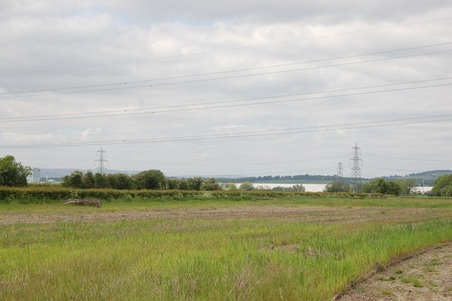
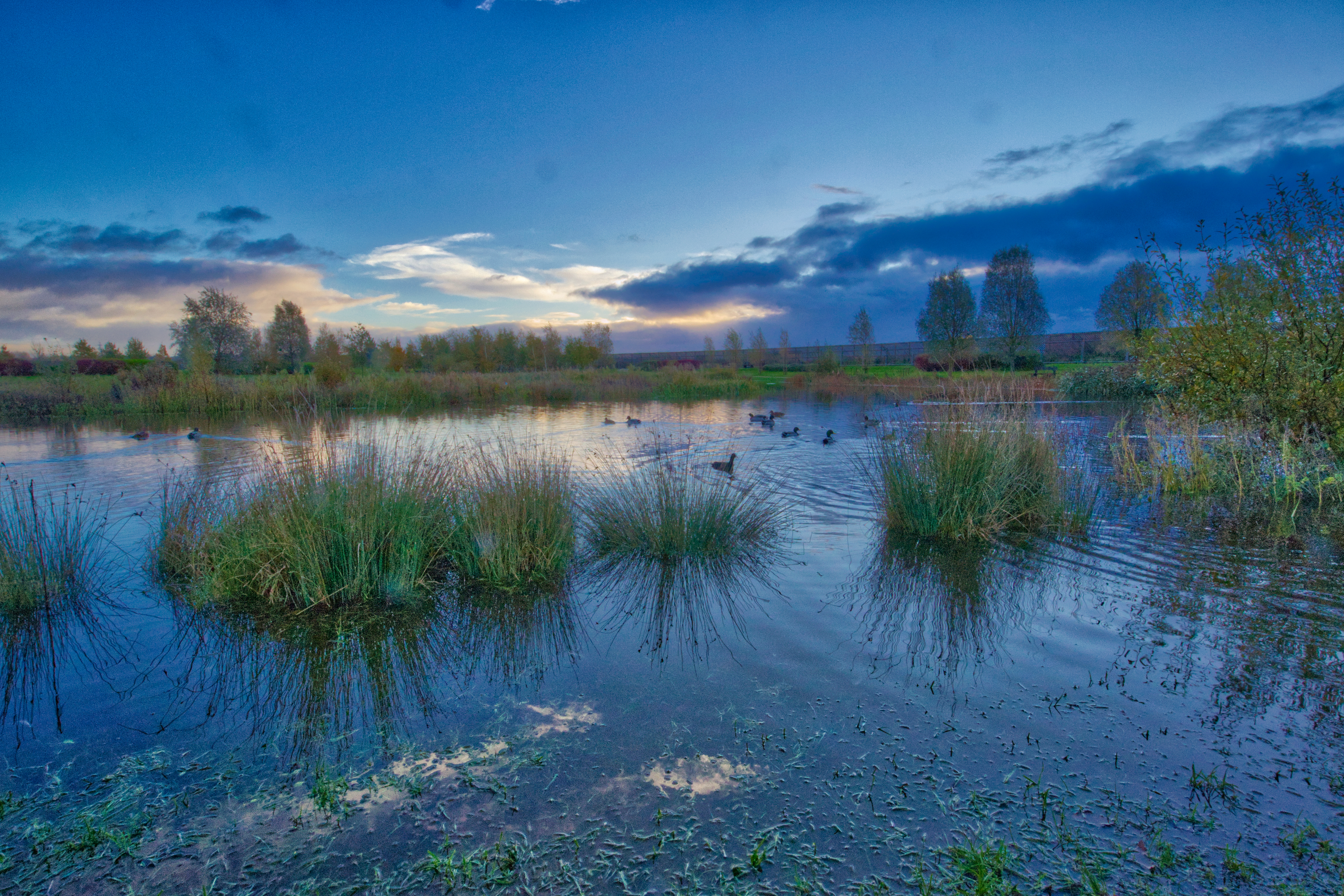
Green Moor is a picturesque area located in Monmouthshire, Wales. Known for its stunning natural beauty and diverse ecosystems, it is an ideal destination for nature enthusiasts and outdoor enthusiasts alike. The region is characterized by vast expanses of rolling downs and moorland, creating a scenic landscape that stretches as far as the eye can see.
The area is rich in biodiversity, harboring a wide variety of plant and animal species. Visitors can expect to encounter an array of wildflowers, including heather, gorse, and orchids, which carpet the moorland during the warmer months. The downs are home to an abundance of wildlife, such as red kites, buzzards, and even the occasional rare sighting of a peregrine falcon.
Hiking and walking trails crisscross the area, offering visitors the opportunity to explore its natural wonders. These paths lead through heather-covered moorland, providing panoramic views of the surrounding countryside. The undulating terrain also makes Green Moor a popular destination for mountain biking and horseback riding.
In addition to its natural beauty, Green Moor boasts a rich cultural heritage. The area is dotted with ancient monuments, including burial mounds and standing stones, which provide a glimpse into the region's past. Visitors can also visit nearby historic sites, such as the ruins of a medieval castle, offering a fascinating insight into the area's history.
Overall, Green Moor is a captivating destination that seamlessly blends natural beauty and cultural heritage. Whether visitors are seeking adventure in the great outdoors or a serene escape from the hustle and bustle of everyday life, Green Moor has something to offer everyone.
If you have any feedback on the listing, please let us know in the comments section below.
Green Moor Images
Images are sourced within 2km of 51.567087/-2.8786571 or Grid Reference ST3985. Thanks to Geograph Open Source API. All images are credited.


Green Moor is located at Grid Ref: ST3985 (Lat: 51.567087, Lng: -2.8786571)
Unitary Authority: Newport
Police Authority: Gwent
What 3 Words
///delivers.products.specifies. Near Bishton, Newport
Nearby Locations
Related Wikis
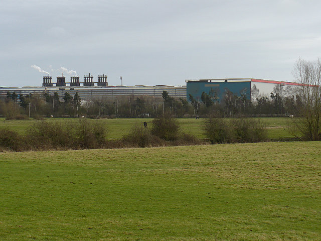
Llanwern steelworks
Llanwern steelworks is located in Llanwern, east of the City of Newport, South Wales. == History == Built for Richard Thomas & Baldwins Ltd, the works...
Bishton
Bishton or Bishopston (Welsh: Llangadwaladr Trefesgob or simply Trefesgob) is a small rural community in the east of the city of Newport, South Wales....

Llanwern (electoral ward)
Llanwern is the name of an electoral ward for Newport City Council in south Wales. It covers several rural communities to the east of the city. It is represented...
Whitson
Whitson is a village on the outskirts of the city of Newport, South Wales. It is located about 7 miles (11 km) south east of Newport city centre on the...
Llanwern
Llanwern is a community in the eastern part of the City of Newport, South East Wales. Llanwern is bounded by the M4 and Langstone to the north, Ringland...
Glan Llyn
Glan Llyn is the name of a mixed-use community development, to the south-east of Newport, South Wales, at the western end of the former Llanwern steelworks...
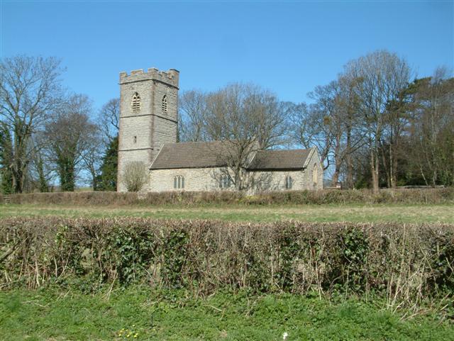
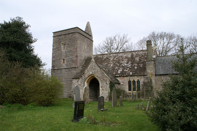
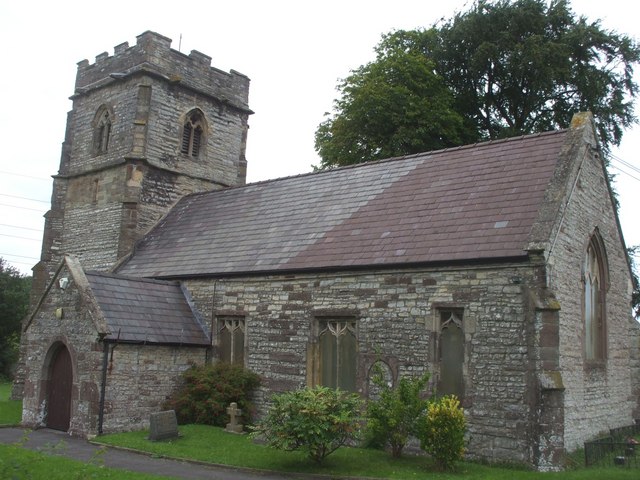
Church of St Thomas, Redwick
The Church of St Thomas is the parish church of the village of Redwick, to the south east of the city of Newport, South Wales, Great Britain. A medieval...
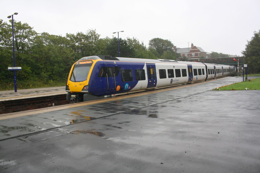
CAF Newport
CAF Newport is a rolling stock factory located at Celtic Business Park, near Llanwern steelworks in Newport. The site was announced as a train-building...
Nearby Amenities
Located within 500m of 51.567087,-2.8786571Have you been to Green Moor?
Leave your review of Green Moor below (or comments, questions and feedback).