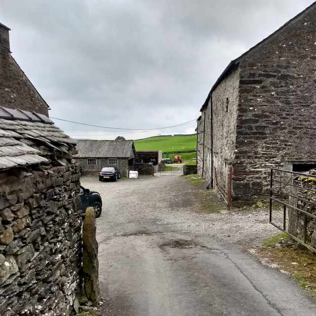
Bare Allotment
Downs, Moorland in Lancashire South Lakeland
England
Bare Allotment

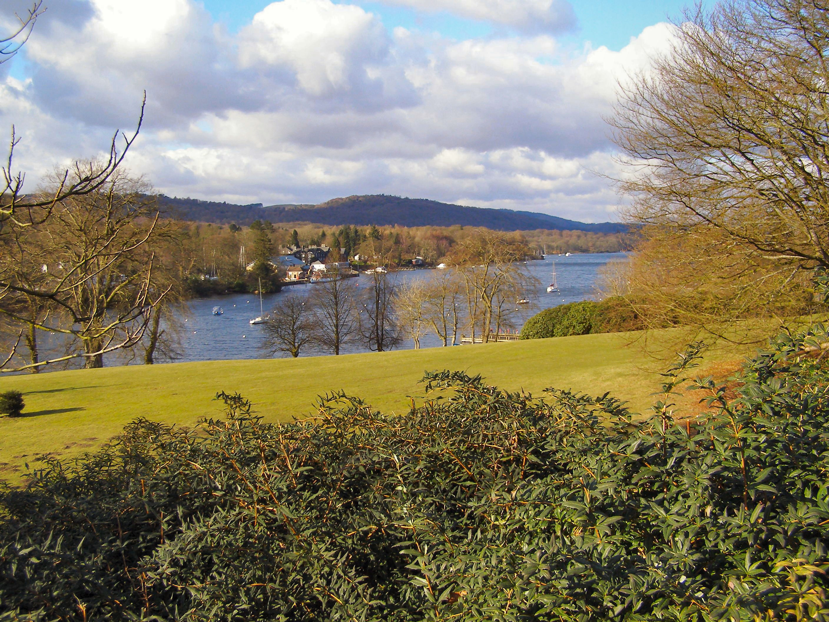
Bare Allotment is a picturesque piece of land located in the county of Lancashire, England. Situated amidst the stunning Downs and Moorland regions, this allotment offers a unique opportunity for individuals to connect with nature and indulge in gardening activities.
Covering an area of approximately [insert specific number] acres, Bare Allotment boasts a diverse range of flora and fauna, making it a haven for wildlife enthusiasts. The site is home to a variety of plant species, including vibrant flowers, lush greenery, and aromatic herbs, creating a vibrant and colorful landscape throughout the year.
The allotment is divided into small plots, each measuring around [insert specific measurement]. These plots are available for rent to local residents, allowing them to cultivate their own fruits, vegetables, and flowers. The soil in this area is known for its fertility, making it ideal for gardening purposes.
In addition to the individual plots, Bare Allotment features communal areas where allotment holders can socialize and exchange gardening tips. These spaces often host community events, such as gardening workshops and competitions, fostering a sense of camaraderie among the allotment community.
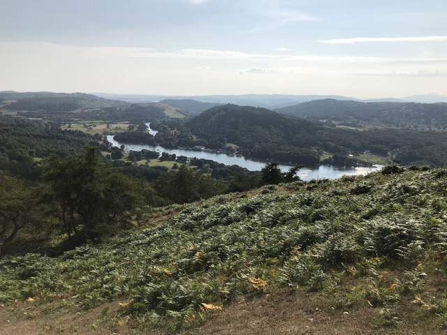
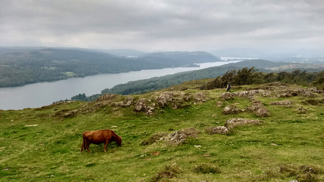
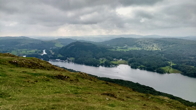
The location of Bare Allotment is also advantageous for its visitors. Situated near the Downs and Moorland, it offers breathtaking views of the surrounding countryside, providing a tranquil and peaceful environment for relaxation and reflection.
Overall, Bare Allotment is a beautiful and thriving space that allows individuals to embrace their green thumbs, reconnect with nature, and enjoy the benefits of gardening in the heart of Lancashire's Downs and Moorland regions.
If you have any feedback on the listing, please let us know in the comments section below.
Bare Allotment Images
Images are sourced within 2km of 54.292619/-2.9389274 or Grid Reference SD3888. Thanks to Geograph Open Source API. All images are credited.


Bare Allotment is located at Grid Ref: SD3888 (Lat: 54.292619, Lng: -2.9389274)
Administrative County: Cumbria
District: South Lakeland
Police Authority: Cumbria
What 3 Words
///optimists.bluffing.line. Near Windermere, Cumbria
Nearby Locations
Related Wikis
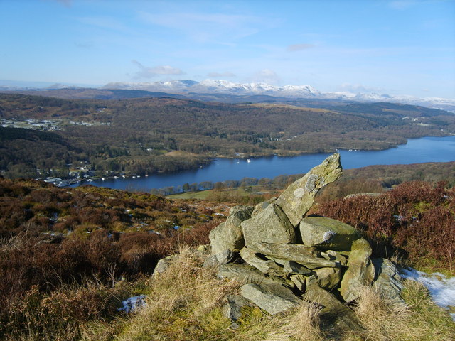
Gummer's How
Gummer's How is a hill in the southern part of the Lake District, on the eastern shore of Windermere, near its southern end. How, derived from the Old...

Heights Tarn
Heights Tarn is a small lake to the east of Windermere and north of Simpson Ground Reservoir, near Cartmel Fell, in the Lake District of Cumbria, England...
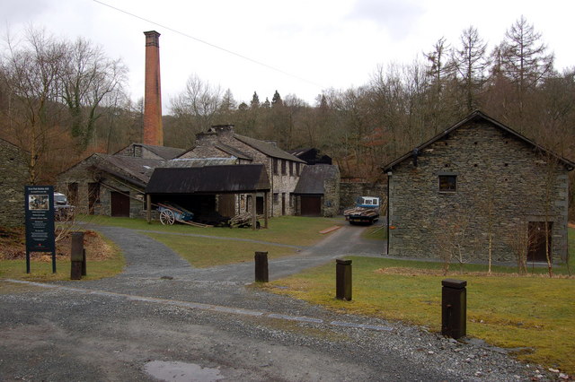
Stott Park Bobbin Mill
Stott Park Bobbin Mill is a 19th-century bobbin mill and now a working museum located near Newby Bridge, Cumbria, England. Built in 1835 the mill was one...
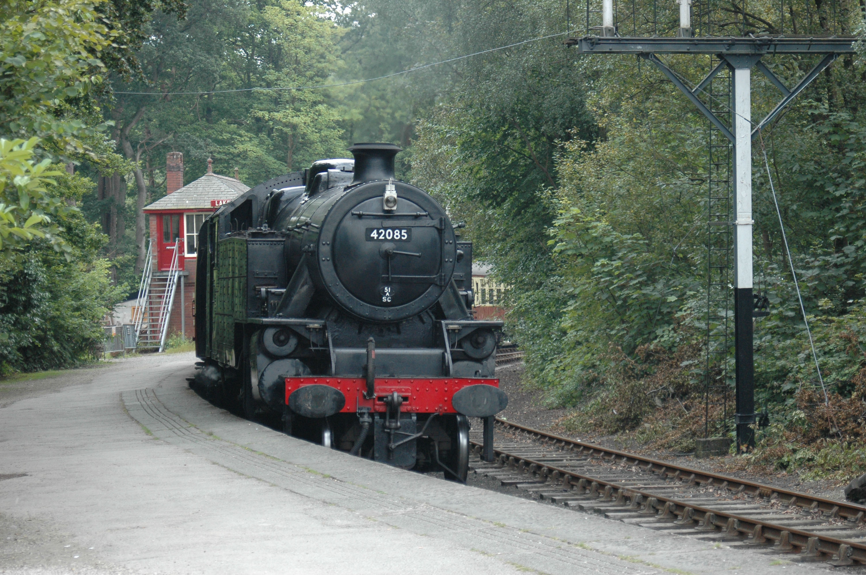
Lakeside railway station (England)
Lakeside railway station is on the heritage Lakeside and Haverthwaite Railway in England. It was previously the terminus of the Furness Railway Ulverston...

Lakes Aquarium
The Lakes Aquarium is an aquarium in the village of Lakeside on the southern shore of Windermere, Cumbria, England. It is one of the docking points of...
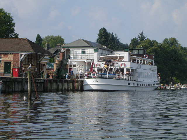
Lakeside, Cumbria
Lakeside is a village in Newby Bridge at the south end of Windermere, England. Now in the county of Cumbria, before county reorganisation of 1974 it was...
Staveley Fell
Staveley Fell is an upland area in the English Lake District, near (and named for) Staveley-in-Cartmel (not to be confused with Staveley-in-Westmorland...
Fell Foot Park
Fell Foot Park is a country park situated at the southern end of Windermere in Cumbria, the largest lake in England. It is north of Newby Bridge in the...
Nearby Amenities
Located within 500m of 54.292619,-2.9389274Have you been to Bare Allotment?
Leave your review of Bare Allotment below (or comments, questions and feedback).